Brocton is a village in Chautauqua County, New York, United States. The name was derived by combining the names “Brockway” and “Minton”, two prominent local families. The population was 1,335 at the 2020 census. Brocton is within the town of Portland.
The Lakeview Shock Incarceration Correctional Facility, a state prison, is located just north of the village limits.
| Name: | Brocton village |
|---|---|
| LSAD Code: | 47 |
| LSAD Description: | village (suffix) |
| State: | New York |
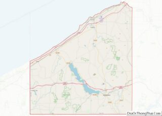
| County: | Chautauqua County |
| Elevation: | 735 ft (224 m) |
| Total Area: | 1.77 sq mi (4.58 km²) |
| Land Area: | 1.77 sq mi (4.58 km²) |
| Water Area: | 0.00 sq mi (0.00 km²) |
| Total Population: | 1,286 |
| Population Density: | 726.96/sq mi (280.70/km²) |
| ZIP code: | 14716 |
| Area code: | 716 |
| FIPS code: | 3608488 |
| GNISfeature ID: | 0944808 |
| Website: | www.brocton.org |
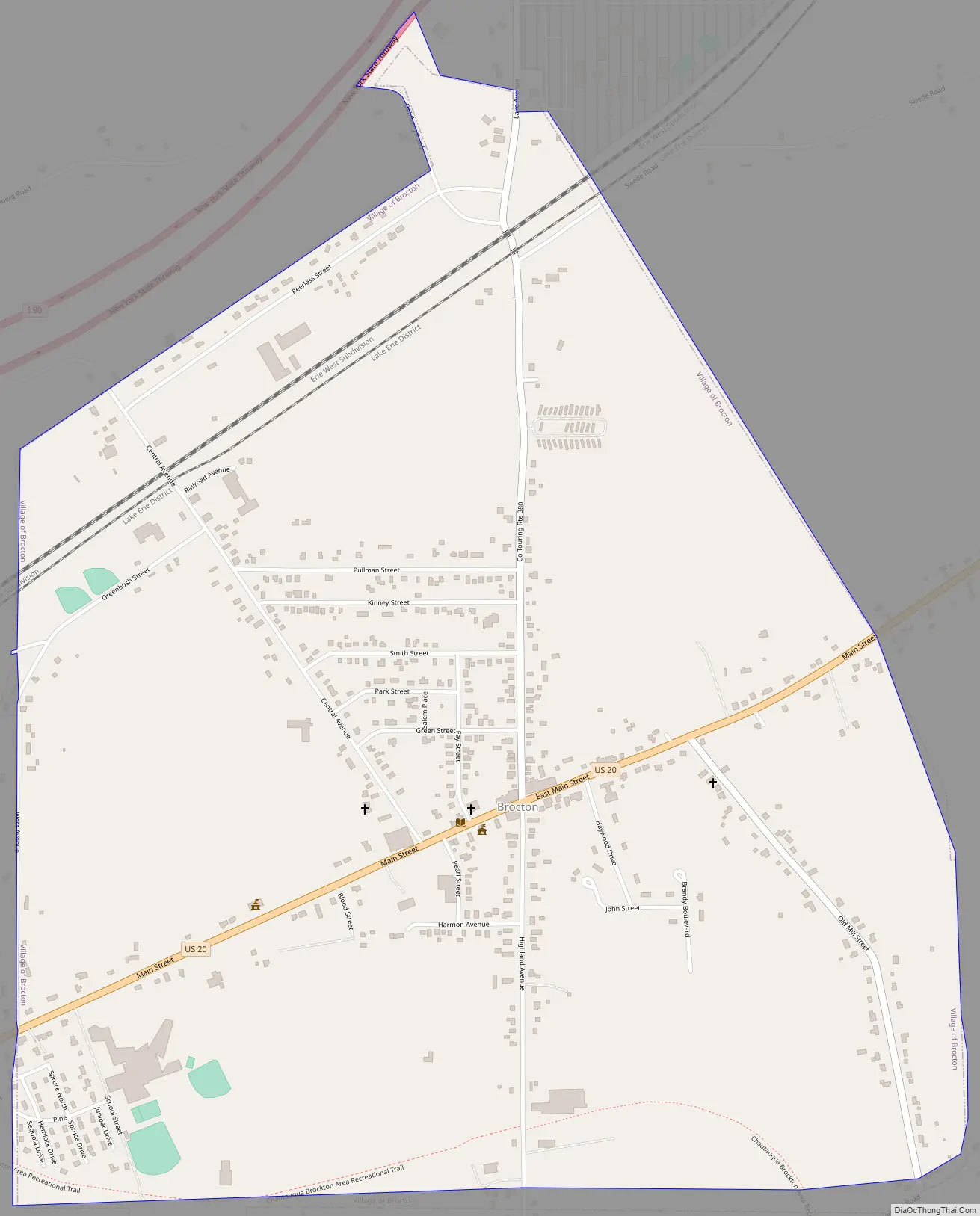
Online Interactive Map
Click on ![]() to view map in "full screen" mode.
to view map in "full screen" mode.
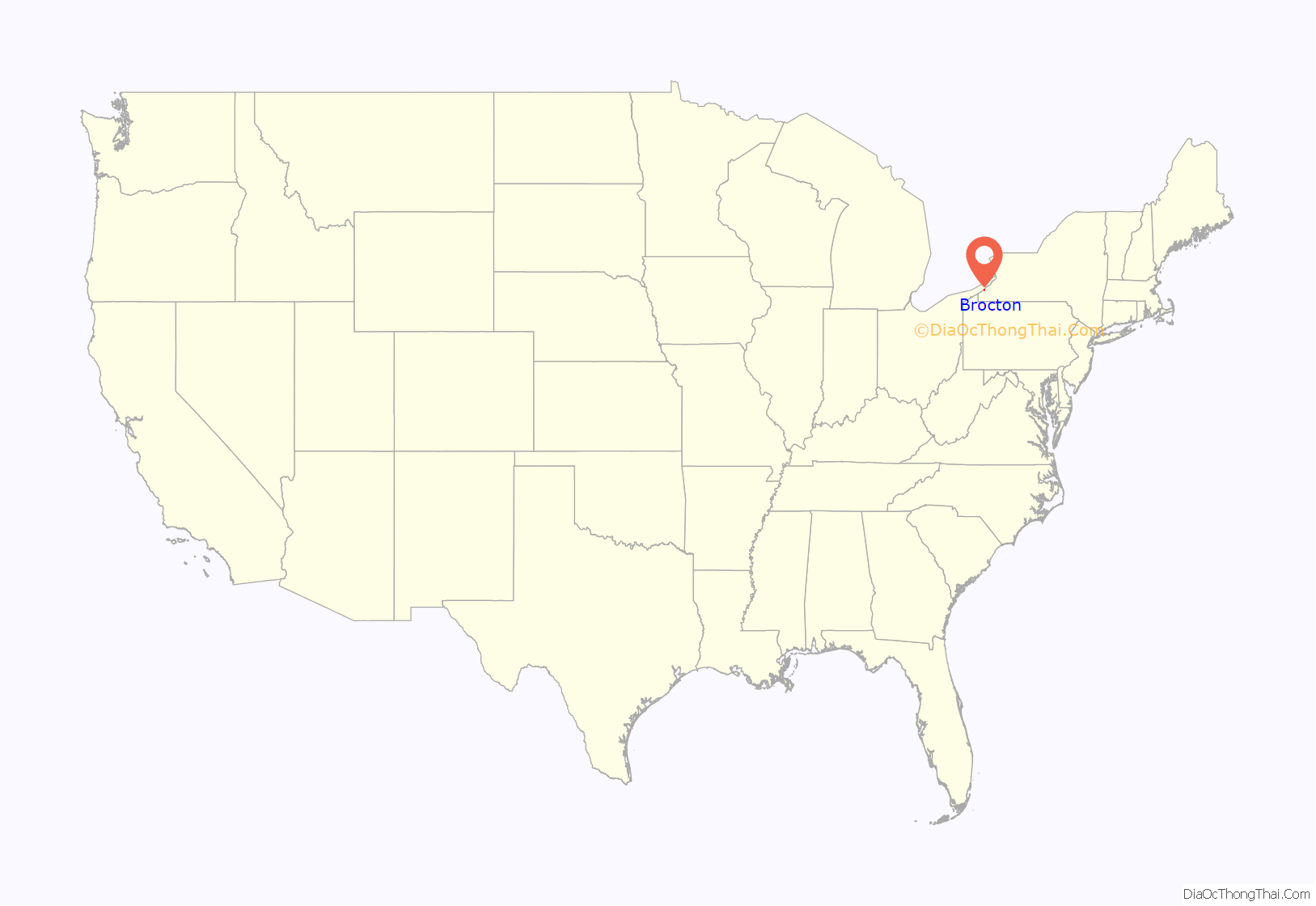
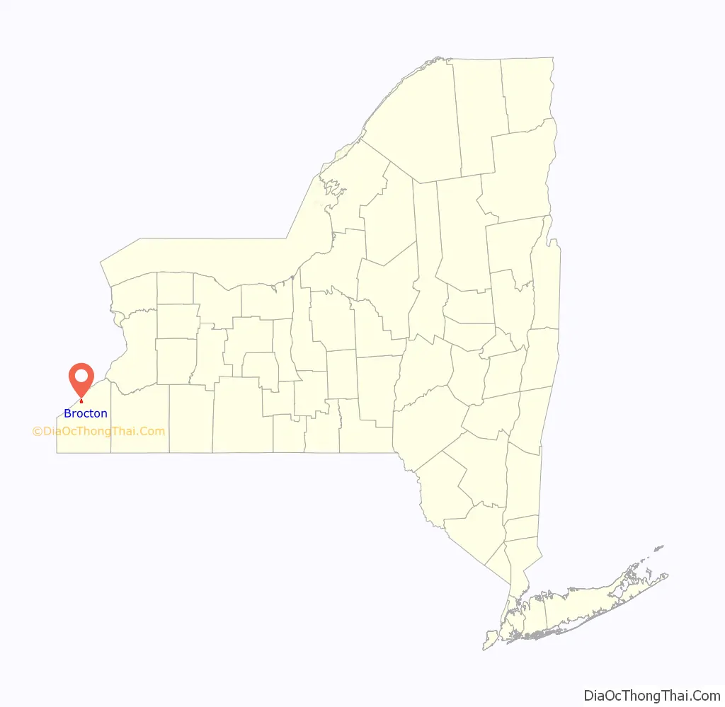
Brocton location map. Where is Brocton village?
History
The community was first settled in 1805 by Captain James Dunn. The village of Brocton was incorporated in 1894. Brocton used to be named “Salems Corners (Cross Roads)” after Salem, Massachusetts, but was later renamed “Brocton”.
In 1913, to commemorate the town of Portland’s Centennial, a green double-arch was erected over the town’s main intersection. It is believed to be the only double-arch east of the Mississippi River. It was listed on the National Register of Historic Places in 1996.
The St. Stephen’s Hotel has been a fixture at the center of Brocton since the mid-1800s.
Brocton Road Map
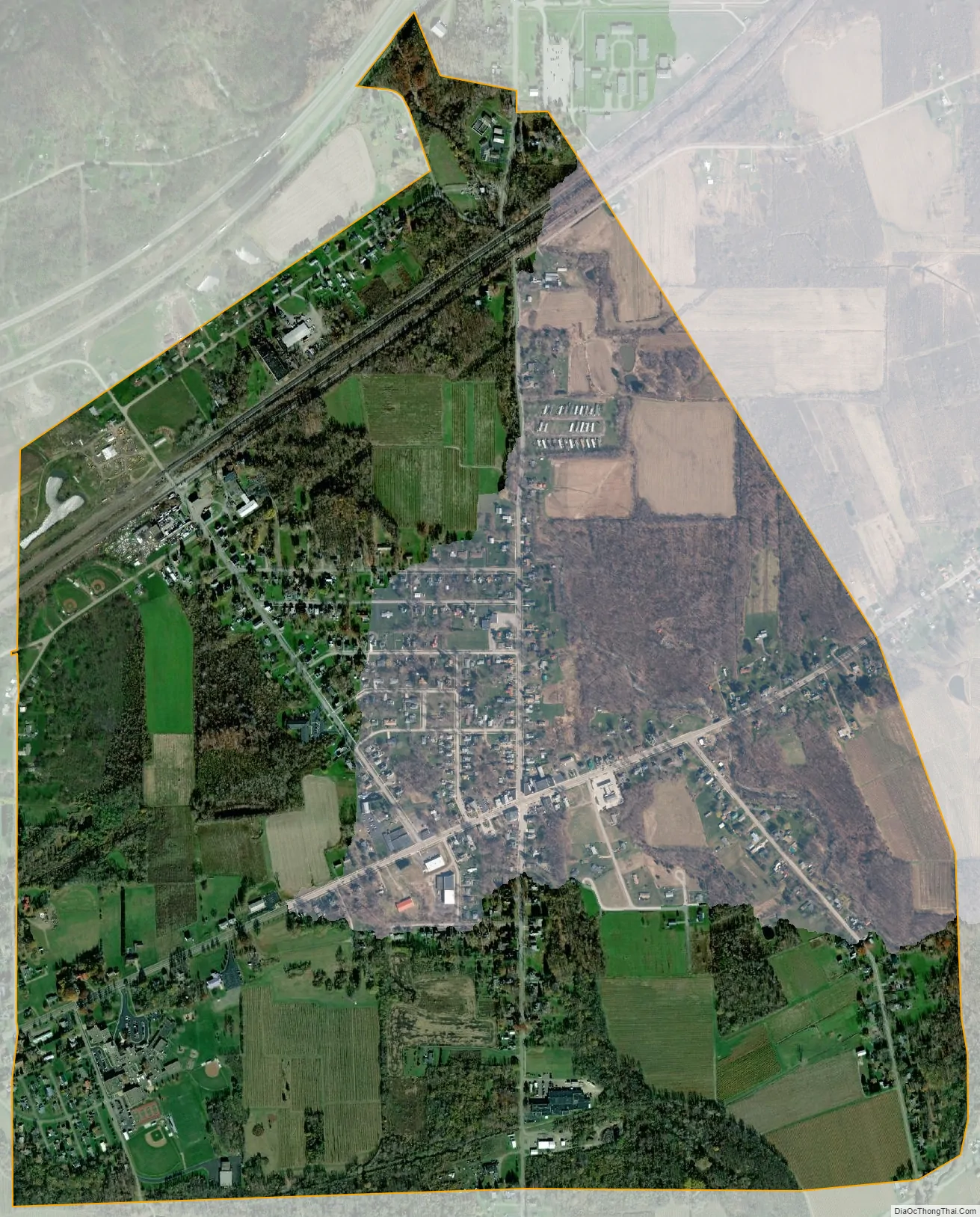
Brocton city Satellite Map
Geography
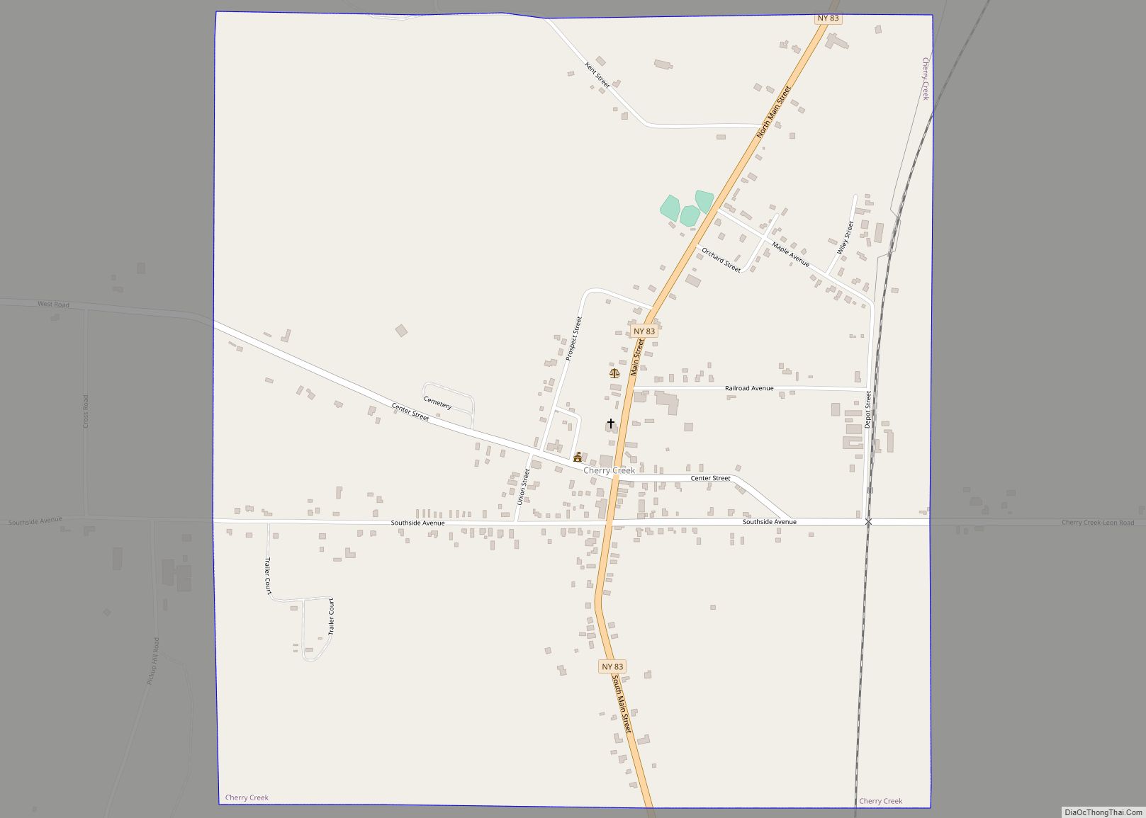
Brocton is located in the northeastern part of the town of Portland, in northern Chautauqua County. According to the United States Census Bureau, Brocton has a total area of 1.71 square miles (4.43 km), all land.
US 20 passes through the village. The New York State Thruway (Interstate 90) passes just north of the village limits, but the closest access is 8 miles (13 km) to the east near Fredonia. Lake Avenue (former NY Route 380) intersects US 20 in the center of the village and leads north 2 miles (3 km) to Lake Erie State Park.
See also
Map of New York State and its subdivision:- Albany
- Allegany
- Bronx
- Broome
- Cattaraugus
- Cayuga
- Chautauqua
- Chemung
- Chenango
- Clinton
- Columbia
- Cortland
- Delaware
- Dutchess
- Erie
- Essex
- Franklin
- Fulton
- Genesee
- Greene
- Hamilton
- Herkimer
- Jefferson
- Kings
- Lake Ontario
- Lewis
- Livingston
- Madison
- Monroe
- Montgomery
- Nassau
- New York
- Niagara
- Oneida
- Onondaga
- Ontario
- Orange
- Orleans
- Oswego
- Otsego
- Putnam
- Queens
- Rensselaer
- Richmond
- Rockland
- Saint Lawrence
- Saratoga
- Schenectady
- Schoharie
- Schuyler
- Seneca
- Steuben
- Suffolk
- Sullivan
- Tioga
- Tompkins
- Ulster
- Warren
- Washington
- Wayne
- Westchester
- Wyoming
- Yates
- Alabama
- Alaska
- Arizona
- Arkansas
- California
- Colorado
- Connecticut
- Delaware
- District of Columbia
- Florida
- Georgia
- Hawaii
- Idaho
- Illinois
- Indiana
- Iowa
- Kansas
- Kentucky
- Louisiana
- Maine
- Maryland
- Massachusetts
- Michigan
- Minnesota
- Mississippi
- Missouri
- Montana
- Nebraska
- Nevada
- New Hampshire
- New Jersey
- New Mexico
- New York
- North Carolina
- North Dakota
- Ohio
- Oklahoma
- Oregon
- Pennsylvania
- Rhode Island
- South Carolina
- South Dakota
- Tennessee
- Texas
- Utah
- Vermont
- Virginia
- Washington
- West Virginia
- Wisconsin
- Wyoming