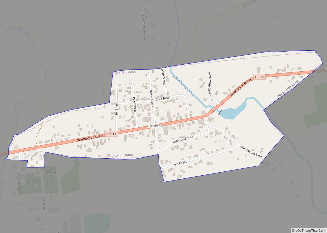
Brushton is a village in Franklin County, New York, United States. The population was 474 at the 2010 census. The village is named after Henry Brush, a land owner.
Brushton is located in the town of Moira and is west of Malone, the county seat.
| Name: | Brushton village |
|---|---|
| LSAD Code: | 47 |
| LSAD Description: | village (suffix) |
| State: | New York |
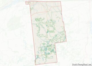
| County: | Franklin County |
| Elevation: | 420 ft (128 m) |
| Total Area: | 0.28 sq mi (0.72 km²) |
| Land Area: | 0.28 sq mi (0.72 km²) |
| Water Area: | 0.00 sq mi (0.00 km²) |
| Total Population: | 443 |
| Population Density: | 1,605.07/sq mi (618.84/km²) |
| ZIP code: | 12916 |
| Area code: | 518 |
| FIPS code: | 3610286 |
| GNISfeature ID: | 0944982 |
Online Interactive Map
Click on ![]() to view map in "full screen" mode.
to view map in "full screen" mode.
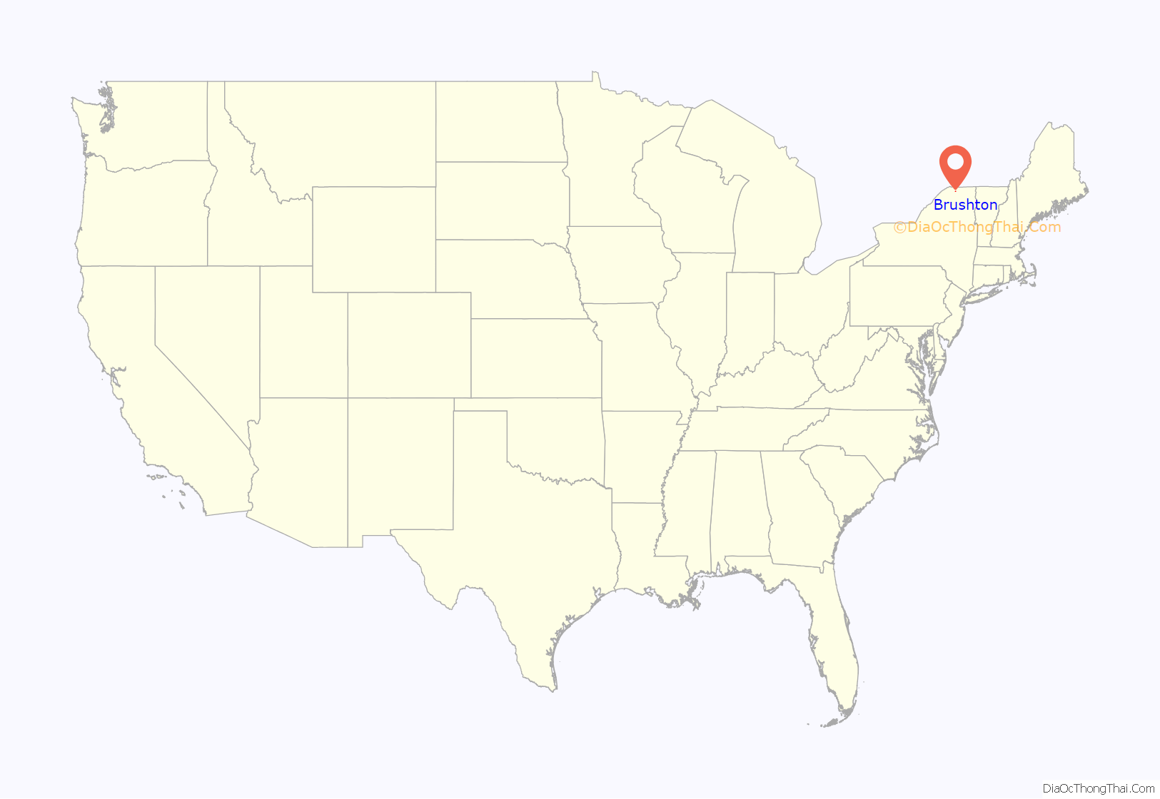
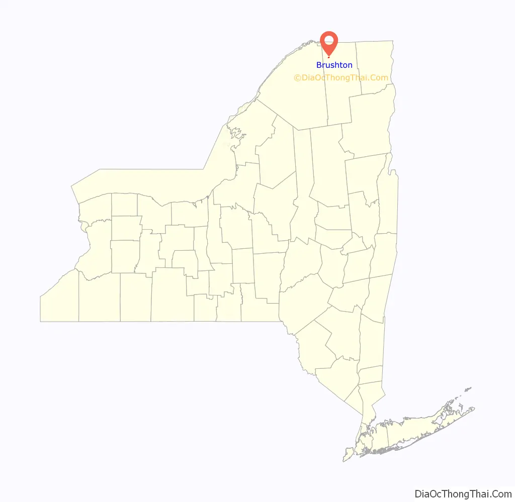
Brushton location map. Where is Brushton village?
History
The village took its name from Brush’s Mills, which were located on the Little Salmon River. The mills were purchased by Mr. Henry N. Brush in 1835, and the hamlet was officially named “Brushton” on October 1, 1877.
From Frederick Seaver’s Historical Sketches of Franklin County, NY (1918), p. 519: “The industrial enterprises of Moira were never numerous or large. The community is distinctively agricultural, but with two small unincorporated villages — Brushton and Moira. Each is a station on the Rutland Railroad, and each is on an improved trunk-line highway. Almost with the first settlement in the town, Appleton Foote, as the agent of Gilchrist and Fowler, erected a saw mill at what is now Brushton, and a grist mill there in the year following, which was displaced by the present stone mill in 1823, built by Robert Watts, and later improved and enlarged by Henry N. Brush.”
And Seaver, p. 518: “Henry N. Brush located at Brush’s Mills (now Brushton) in 1835. He was a man of finished education, an engaging public speaker, and a man of strong parts. … His holdings of land were large, and the business and industrial development of the eastern part of Moira were due largely to his activities. He died in 1872.”
Brush’s son, Henry Corbin Brush, was born in Brush’s Mills in 1838 and was the inventor of the Brush Trolling Spoon shallow-running submersible fishing lure.
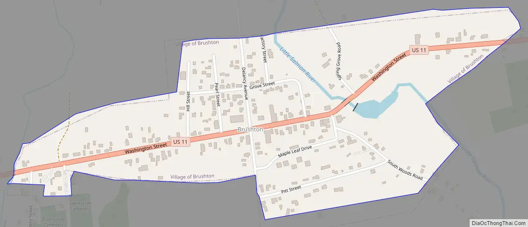
Brushton Road Map
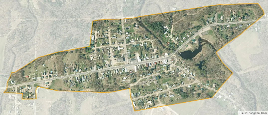
Brushton city Satellite Map
Geography
Brushton is located in the eastern part of the town of Moira at 44°49′51″N 74°30′52″W / 44.83083°N 74.51444°W / 44.83083; -74.51444 (44.830736, -74.514341), in northwestern Franklin County.
According to the United States Census Bureau, the village has a total area of 0.28 square miles (0.72 km), all land.
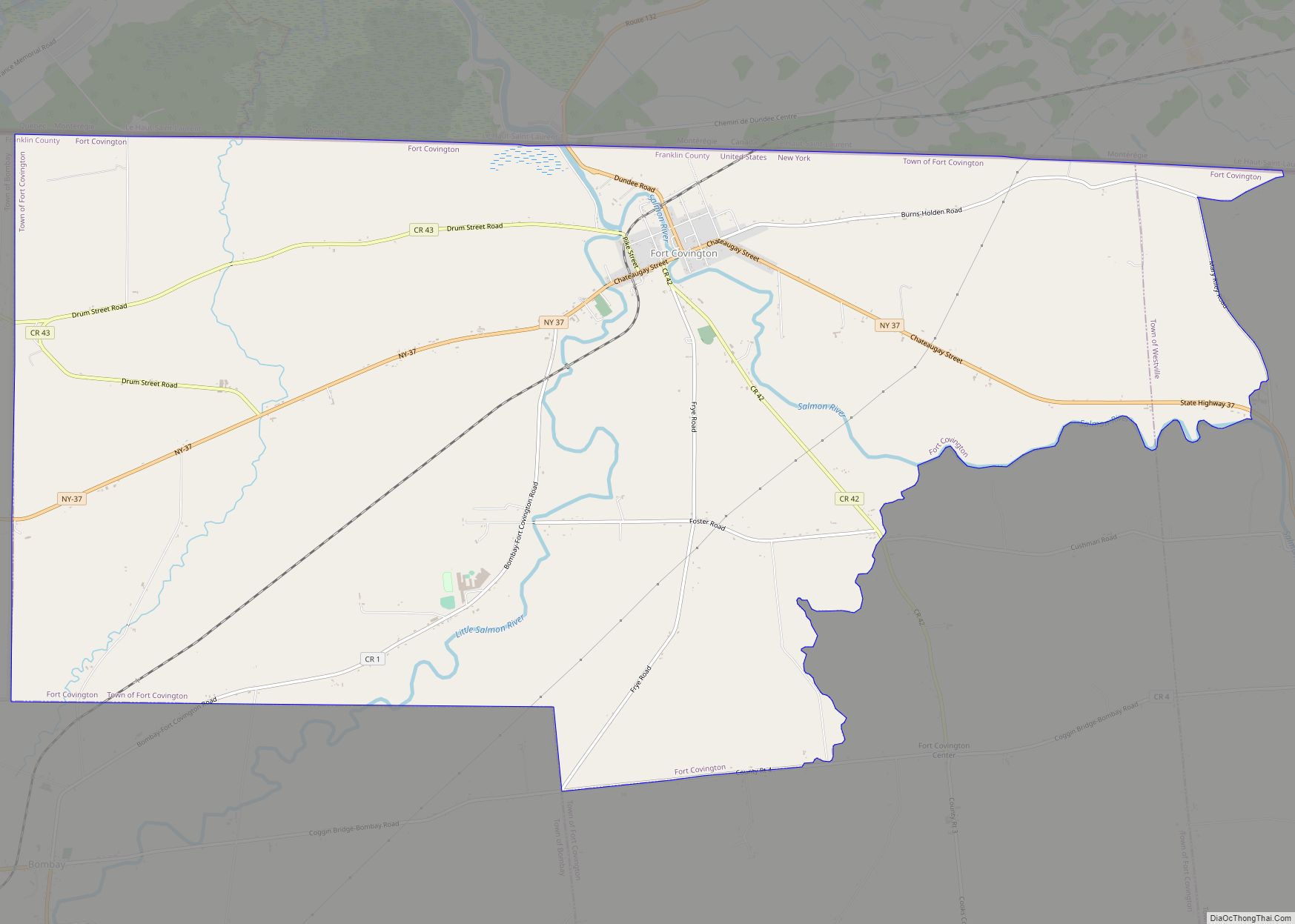
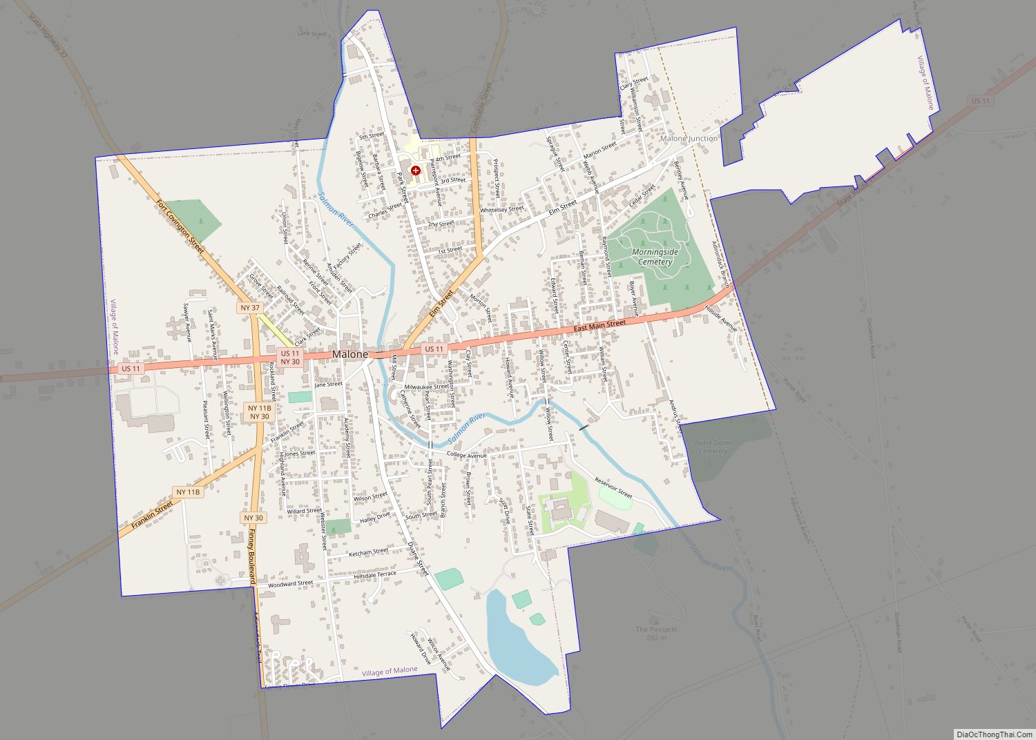
Brushton is located on U.S. Route 11 (Washington Street) at the junction of County Road 8 (Fay-Brushton Road/Farm-To-Market Rd.). On US-11, the community of Moira is 2 miles (3 km) to the west, and North Bangor is 5.5 miles (8.9 km) to the east. Malone is 11 miles (18 km) to the east on US-11.
The Little Salmon River flows northward through the village. Via the Salmon River, its waters flow to the St. Lawrence River, just across the Canada–US border in Quebec.
See also
Map of New York State and its subdivision:- Albany
- Allegany
- Bronx
- Broome
- Cattaraugus
- Cayuga
- Chautauqua
- Chemung
- Chenango
- Clinton
- Columbia
- Cortland
- Delaware
- Dutchess
- Erie
- Essex
- Franklin
- Fulton
- Genesee
- Greene
- Hamilton
- Herkimer
- Jefferson
- Kings
- Lake Ontario
- Lewis
- Livingston
- Madison
- Monroe
- Montgomery
- Nassau
- New York
- Niagara
- Oneida
- Onondaga
- Ontario
- Orange
- Orleans
- Oswego
- Otsego
- Putnam
- Queens
- Rensselaer
- Richmond
- Rockland
- Saint Lawrence
- Saratoga
- Schenectady
- Schoharie
- Schuyler
- Seneca
- Steuben
- Suffolk
- Sullivan
- Tioga
- Tompkins
- Ulster
- Warren
- Washington
- Wayne
- Westchester
- Wyoming
- Yates
- Alabama
- Alaska
- Arizona
- Arkansas
- California
- Colorado
- Connecticut
- Delaware
- District of Columbia
- Florida
- Georgia
- Hawaii
- Idaho
- Illinois
- Indiana
- Iowa
- Kansas
- Kentucky
- Louisiana
- Maine
- Maryland
- Massachusetts
- Michigan
- Minnesota
- Mississippi
- Missouri
- Montana
- Nebraska
- Nevada
- New Hampshire
- New Jersey
- New Mexico
- New York
- North Carolina
- North Dakota
- Ohio
- Oklahoma
- Oregon
- Pennsylvania
- Rhode Island
- South Carolina
- South Dakota
- Tennessee
- Texas
- Utah
- Vermont
- Virginia
- Washington
- West Virginia
- Wisconsin
- Wyoming