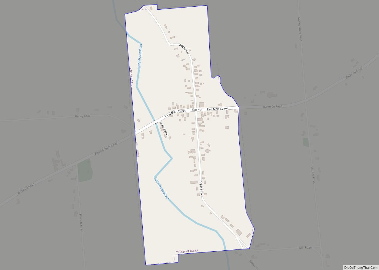
Burke is a village in Franklin County, New York, United States. The population was 211 at the 2010 census. The village is in the town of Burke and is northeast of Malone, the county seat.
| Name: | Burke village |
|---|---|
| LSAD Code: | 47 |
| LSAD Description: | village (suffix) |
| State: | New York |
| County: | Franklin County |
| Elevation: | 863 ft (263 m) |
| Total Area: | 0.29 sq mi (0.75 km²) |
| Land Area: | 0.29 sq mi (0.75 km²) |
| Water Area: | 0.00 sq mi (0.00 km²) |
| Population Density: | 549.83/sq mi (212.02/km²) |
| ZIP code: | 12917 |
| Area code: | 518 |
| FIPS code: | 3611154 |
| GNISfeature ID: | 0969931 |
Online Interactive Map
Click on ![]() to view map in "full screen" mode.
to view map in "full screen" mode.
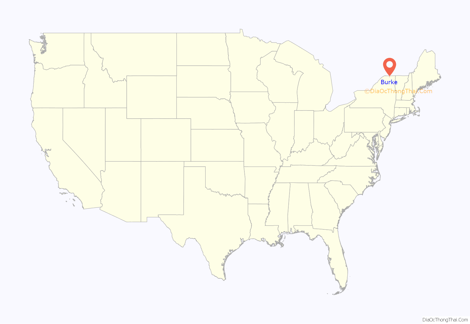
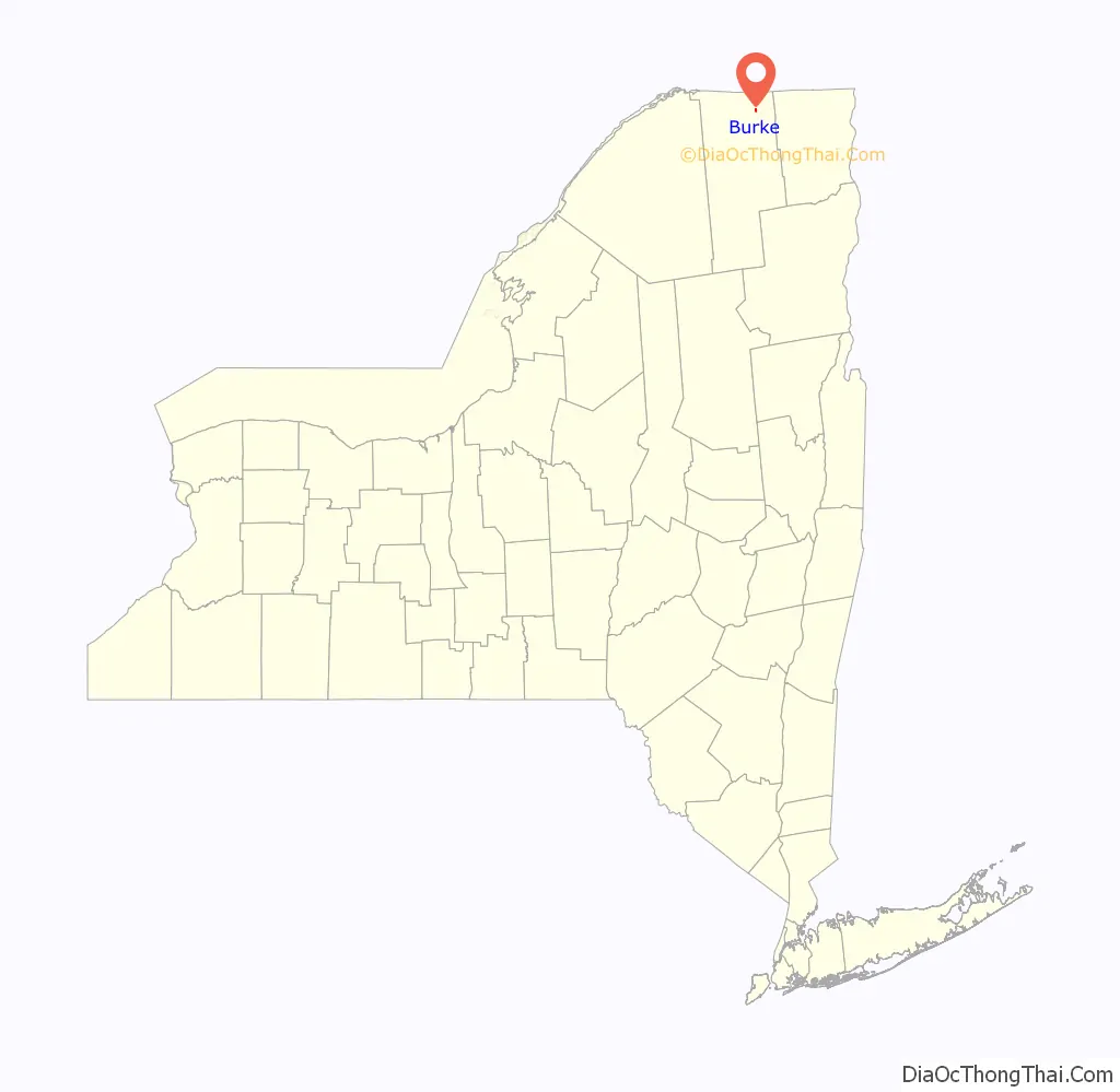
Burke location map. Where is Burke village?
History
The region was known as “West Chateaugay” when the first settlers arrived at the end of the 18th century. The community was once called “The Hollow” and “Andrusville”.
The town of Burke is home to the Wilder Farm.
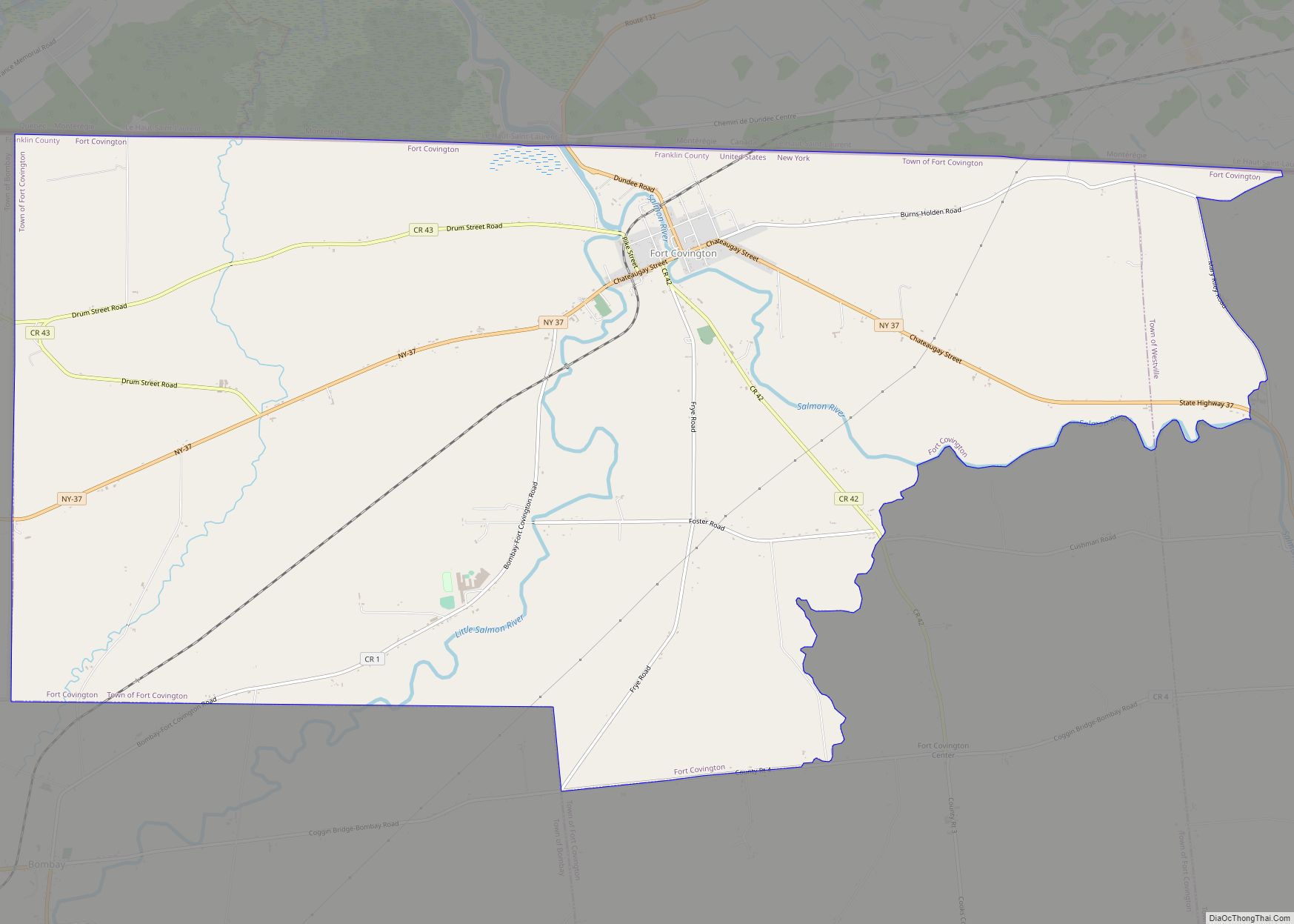
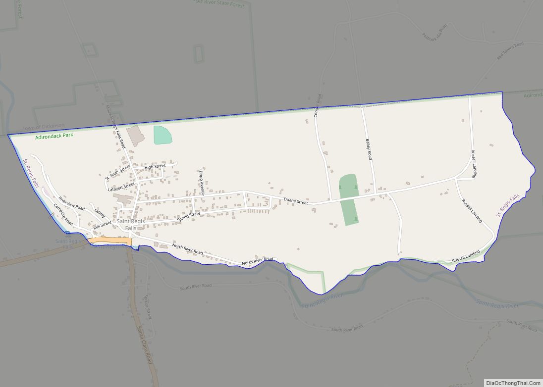
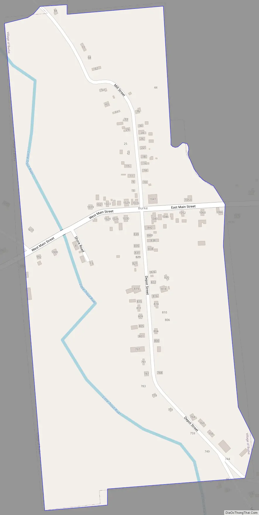
Burke Road Map
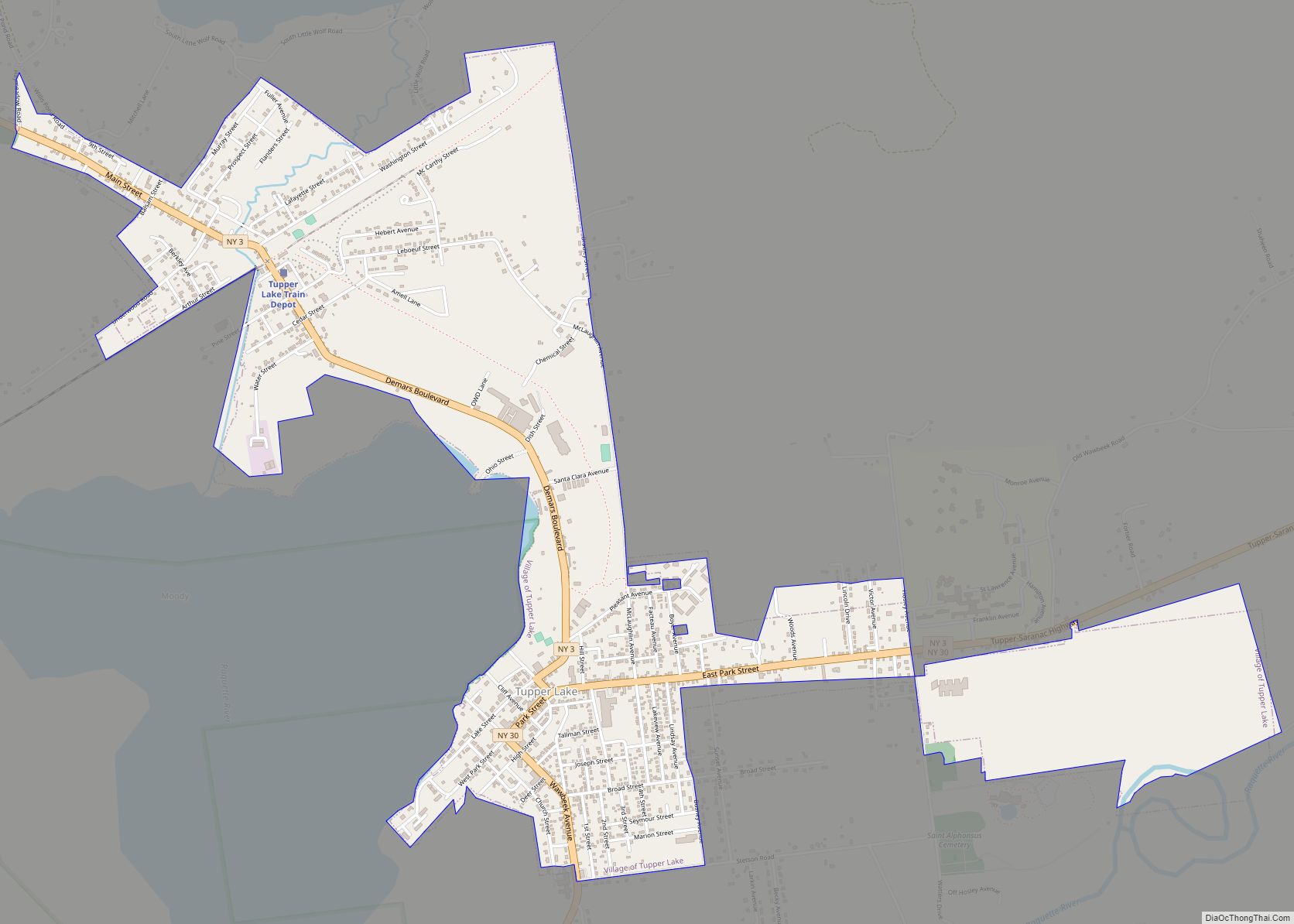
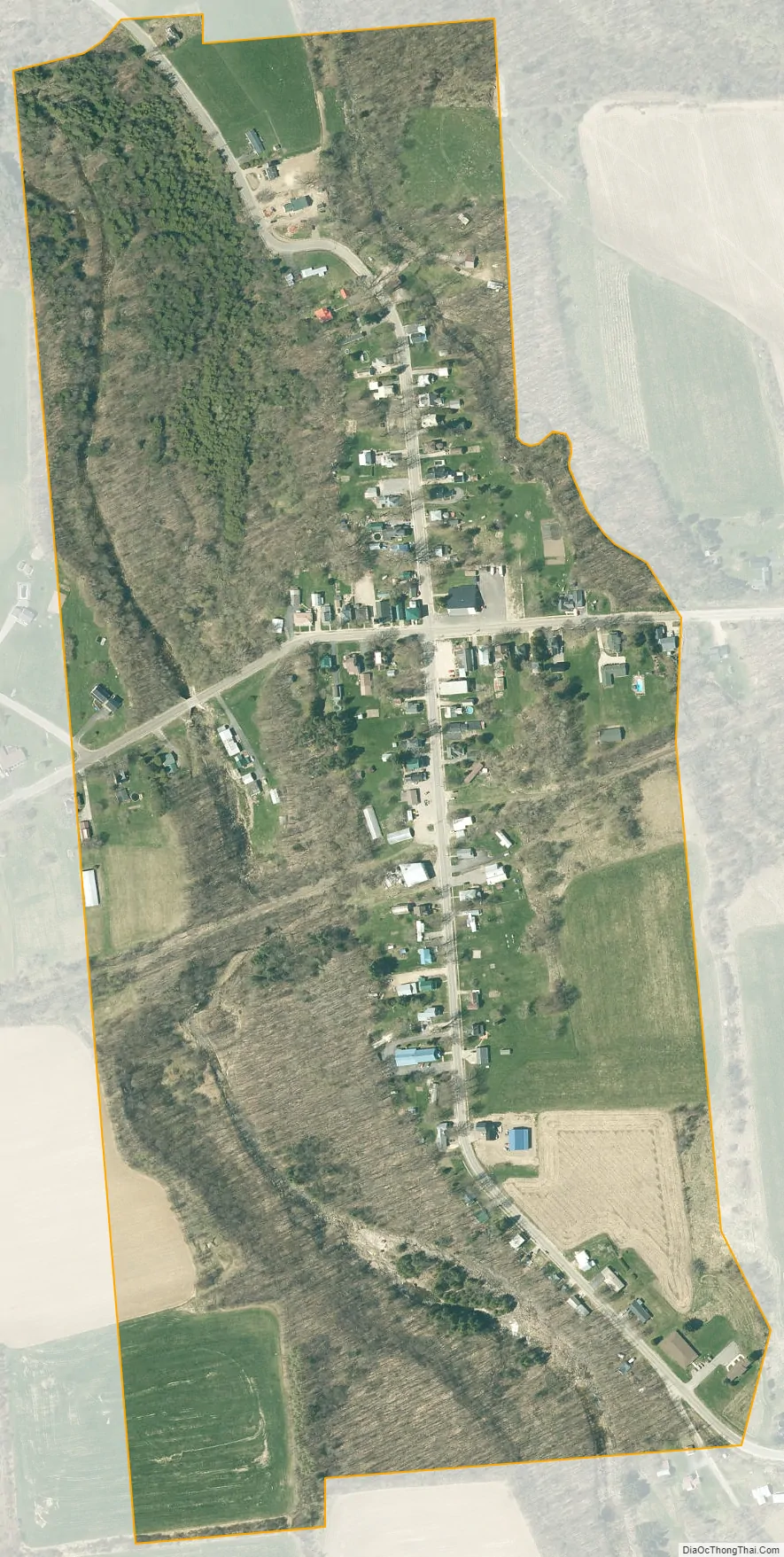
Burke city Satellite Map
Geography
Burke village is located south of the center of the town of Burke at 44°54′3″N 74°10′13″W / 44.90083°N 74.17028°W / 44.90083; -74.17028 (44.90103, -74.170449), in northeastern Franklin County. It is 7 miles (11 km) northeast of Malone and 5 miles (8 km) southwest of Chateaugay.
According to the United States Census Bureau, the village of Burke has a total area of 0.29 square miles (0.75 km), all land.
The Little Trout River passes through the village, which is south of U.S. Route 11. Via the Trout River and Chateauguay River downstream (to the north), it is part of the St. Lawrence River watershed.
See also
Map of New York State and its subdivision:- Albany
- Allegany
- Bronx
- Broome
- Cattaraugus
- Cayuga
- Chautauqua
- Chemung
- Chenango
- Clinton
- Columbia
- Cortland
- Delaware
- Dutchess
- Erie
- Essex
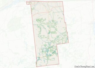
- Franklin
- Fulton
- Genesee
- Greene
- Hamilton
- Herkimer
- Jefferson
- Kings
- Lake Ontario
- Lewis
- Livingston
- Madison
- Monroe
- Montgomery
- Nassau
- New York
- Niagara
- Oneida
- Onondaga
- Ontario
- Orange
- Orleans
- Oswego
- Otsego
- Putnam
- Queens
- Rensselaer
- Richmond
- Rockland
- Saint Lawrence
- Saratoga
- Schenectady
- Schoharie
- Schuyler
- Seneca
- Steuben
- Suffolk
- Sullivan
- Tioga
- Tompkins
- Ulster
- Warren
- Washington
- Wayne
- Westchester
- Wyoming
- Yates
- Alabama
- Alaska
- Arizona
- Arkansas
- California
- Colorado
- Connecticut
- Delaware
- District of Columbia
- Florida
- Georgia
- Hawaii
- Idaho
- Illinois
- Indiana
- Iowa
- Kansas
- Kentucky
- Louisiana
- Maine
- Maryland
- Massachusetts
- Michigan
- Minnesota
- Mississippi
- Missouri
- Montana
- Nebraska
- Nevada
- New Hampshire
- New Jersey
- New Mexico
- New York
- North Carolina
- North Dakota
- Ohio
- Oklahoma
- Oregon
- Pennsylvania
- Rhode Island
- South Carolina
- South Dakota
- Tennessee
- Texas
- Utah
- Vermont
- Virginia
- Washington
- West Virginia
- Wisconsin
- Wyoming