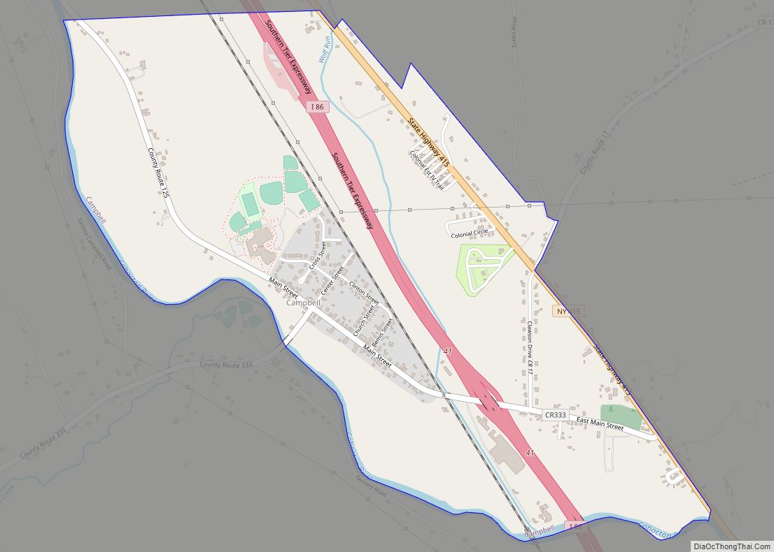
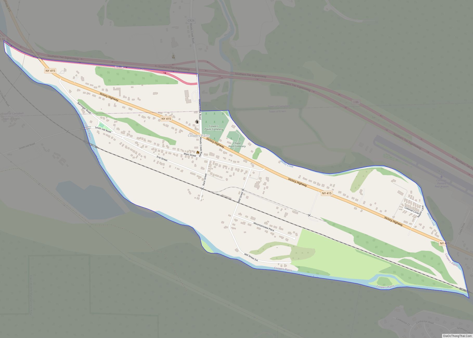
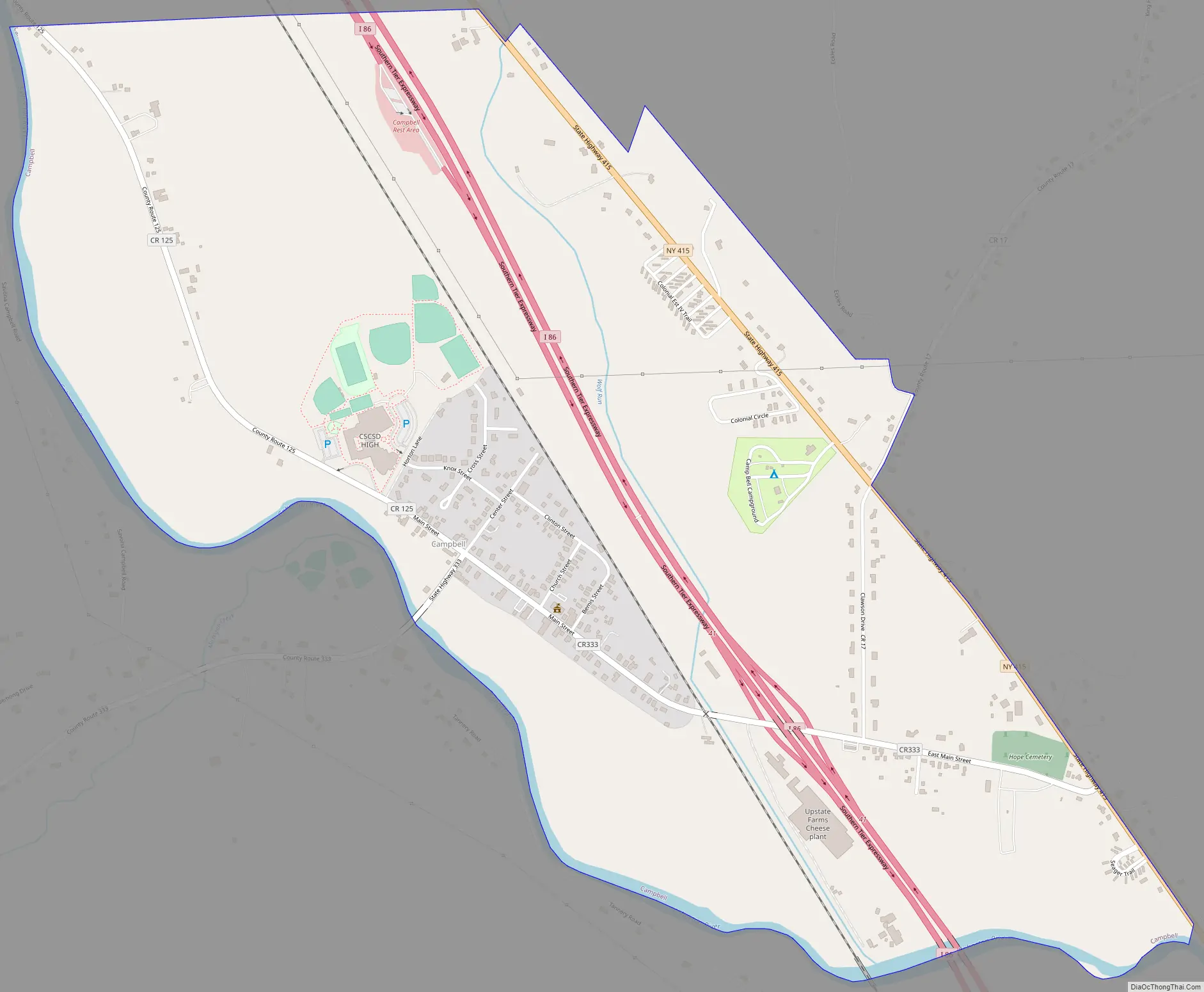
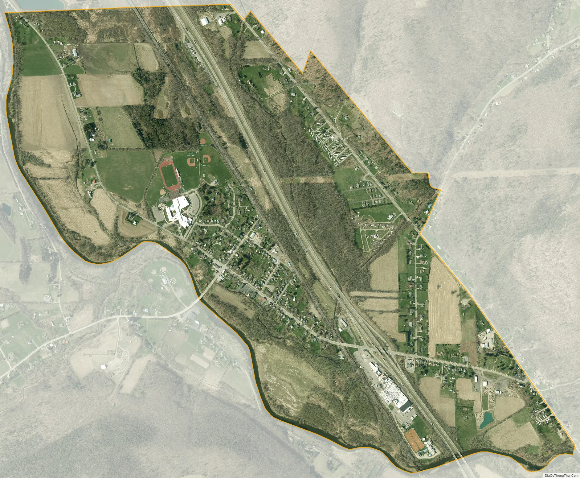
Campbell is the primary hamlet and a census-designated place (CDP) in the town of Campbell in Steuben County, New York, United States. As of the 2010 census, it had a population of 713, out of 3,406 in the entire town of Campbell.
The community is in eastern Steuben County, in the western part of the town of Campbell. It is on the northeast side of the Cohocton River, a southeast-flowing tributary of the Chemung River and part of the Susquehanna River watershed. New York State Route 415 runs along the northeast edge of the CDP, and Interstate 86 passes more centrally through the CDP, just east of the hamlet’s center. Access from I-86 is from Exit 41 (Main Street). I-86 and NY 415 lead southeast 10 miles (16 km) to Corning and northwest 11 miles (18 km) to Bath.
| Name: | Campbell CDP |
|---|---|
| LSAD Code: | 57 |
| LSAD Description: | CDP (suffix) |
| State: | New York |
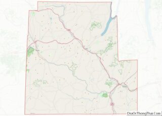
| County: | Steuben County |
| Elevation: | 1,010 ft (310 m) |
| Total Area: | 1.76 sq mi (4.56 km²) |
| Land Area: | 1.76 sq mi (4.56 km²) |
| Water Area: | 0.00 sq mi (0.00 km²) |
| Total Population: | 659 |
| Population Density: | 374.22/sq mi (144.45/km²) |
| ZIP code: | 14821 |
| Area code: | 607 |
| FIPS code: | 3611935 |
| GNISfeature ID: | 2631225 |
Online Interactive Map
Click on ![]() to view map in "full screen" mode.
to view map in "full screen" mode.
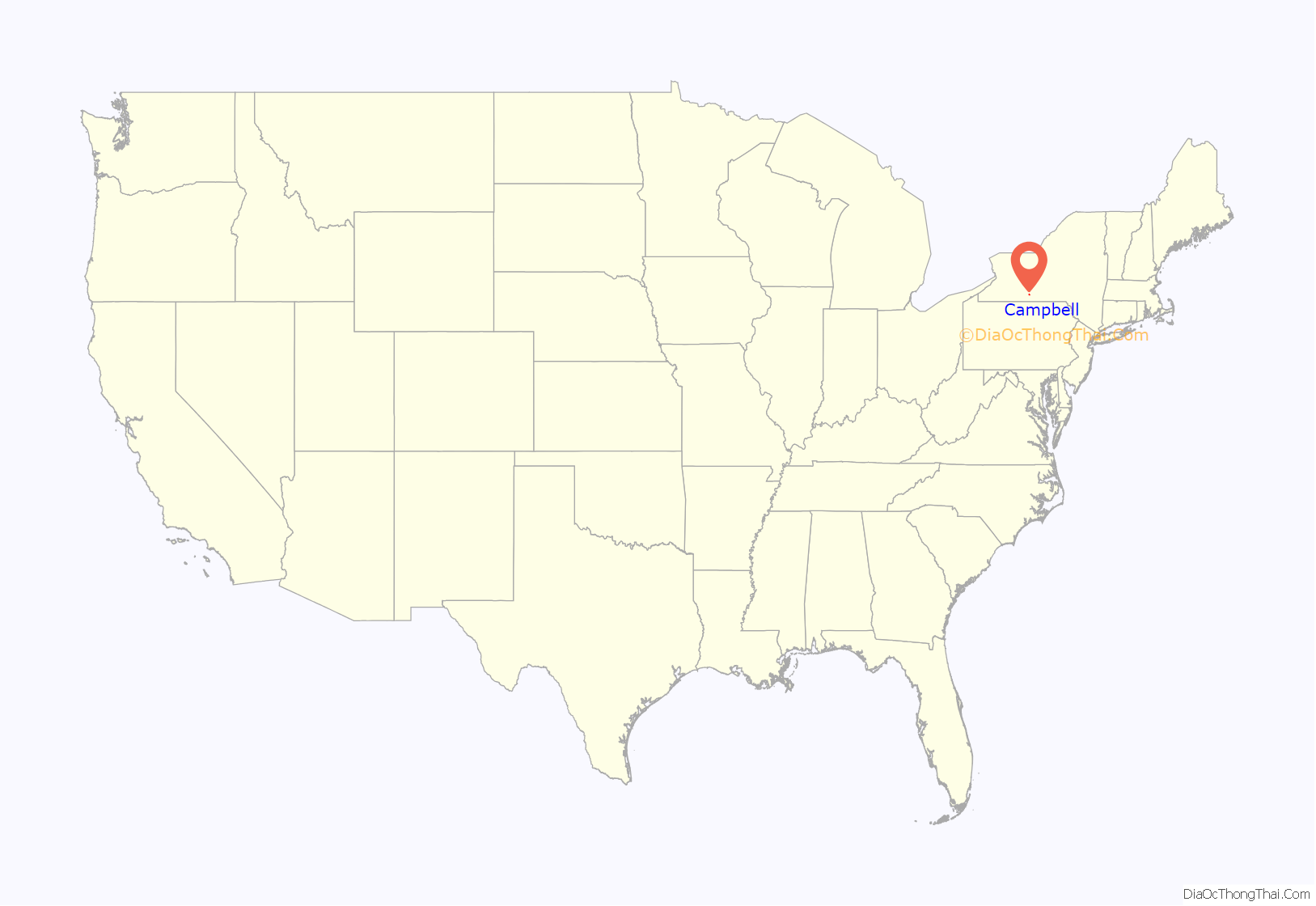
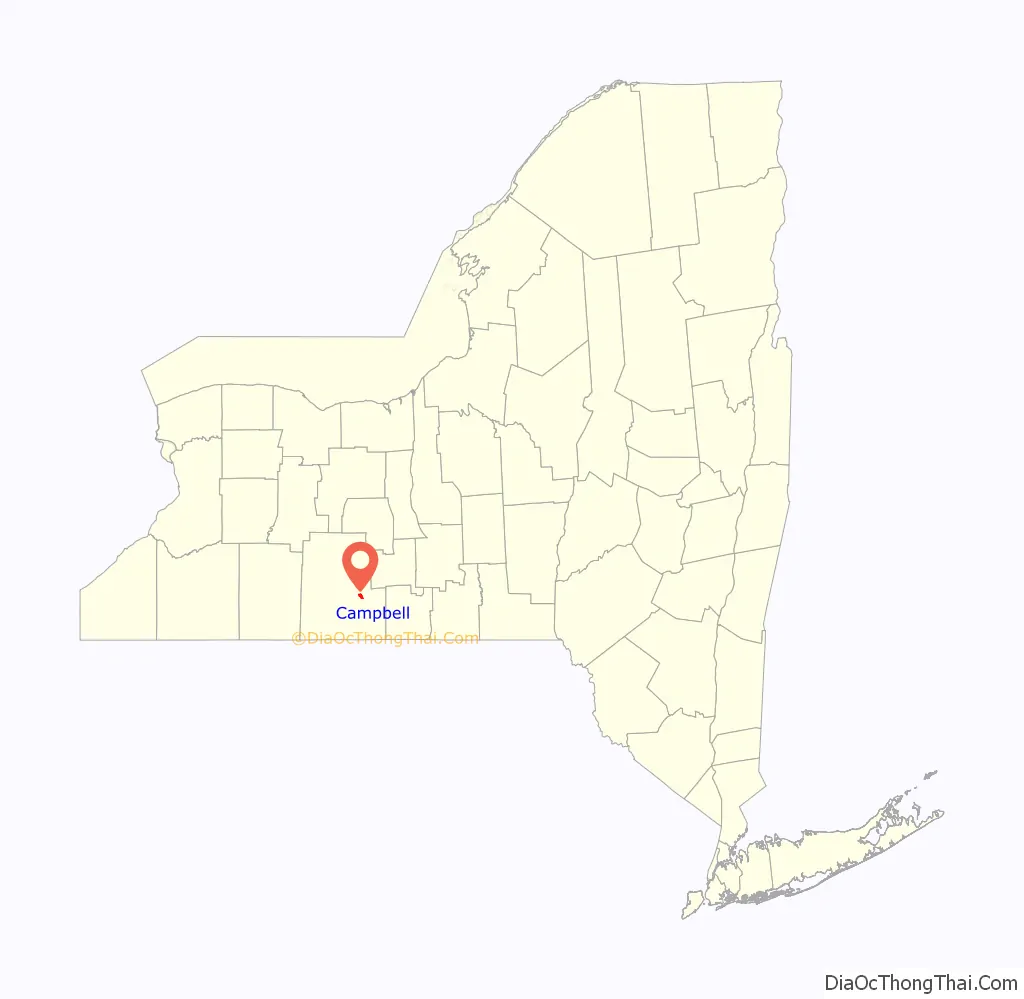
Campbell location map. Where is Campbell CDP?
Campbell Road Map
Campbell city Satellite Map
See also
Map of New York State and its subdivision:- Albany
- Allegany
- Bronx
- Broome
- Cattaraugus
- Cayuga
- Chautauqua
- Chemung
- Chenango
- Clinton
- Columbia
- Cortland
- Delaware
- Dutchess
- Erie
- Essex
- Franklin
- Fulton
- Genesee
- Greene
- Hamilton
- Herkimer
- Jefferson
- Kings
- Lake Ontario
- Lewis
- Livingston
- Madison
- Monroe
- Montgomery
- Nassau
- New York
- Niagara
- Oneida
- Onondaga
- Ontario
- Orange
- Orleans
- Oswego
- Otsego
- Putnam
- Queens
- Rensselaer
- Richmond
- Rockland
- Saint Lawrence
- Saratoga
- Schenectady
- Schoharie
- Schuyler
- Seneca
- Steuben
- Suffolk
- Sullivan
- Tioga
- Tompkins
- Ulster
- Warren
- Washington
- Wayne
- Westchester
- Wyoming
- Yates
- Alabama
- Alaska
- Arizona
- Arkansas
- California
- Colorado
- Connecticut
- Delaware
- District of Columbia
- Florida
- Georgia
- Hawaii
- Idaho
- Illinois
- Indiana
- Iowa
- Kansas
- Kentucky
- Louisiana
- Maine
- Maryland
- Massachusetts
- Michigan
- Minnesota
- Mississippi
- Missouri
- Montana
- Nebraska
- Nevada
- New Hampshire
- New Jersey
- New Mexico
- New York
- North Carolina
- North Dakota
- Ohio
- Oklahoma
- Oregon
- Pennsylvania
- Rhode Island
- South Carolina
- South Dakota
- Tennessee
- Texas
- Utah
- Vermont
- Virginia
- Washington
- West Virginia
- Wisconsin
- Wyoming