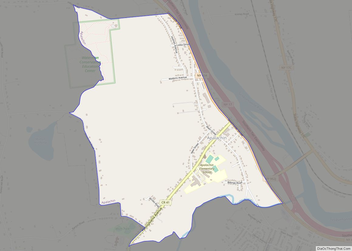
Candor is a village located in the Town of Candor in Tioga County, New York, United States. The population was 851 at the 2010 census. It is part of the Binghamton Metropolitan Statistical Area.
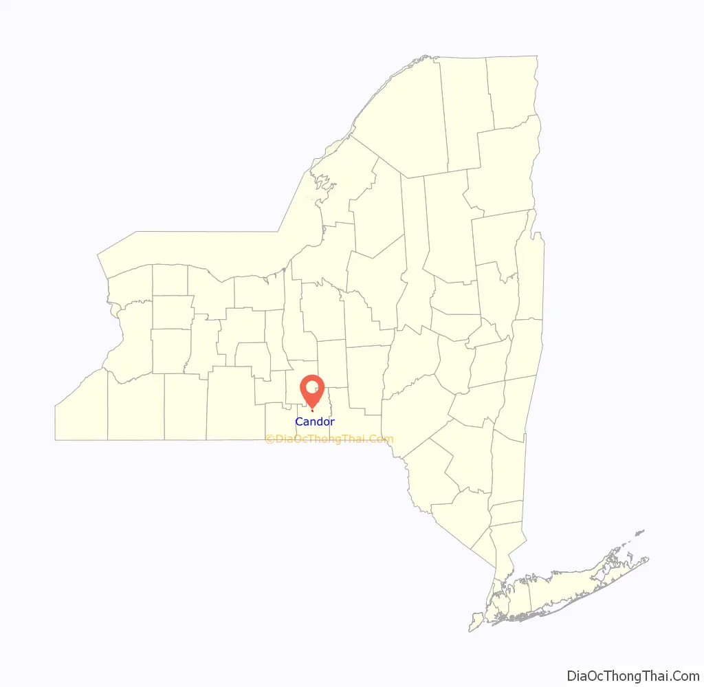
The Village of Candor is centrally located in the town and is south of Ithaca.
| Name: | Candor village |
|---|---|
| LSAD Code: | 47 |
| LSAD Description: | village (suffix) |
| State: | New York |
| County: | Tioga County |
| Incorporated: | 1900 (1900) |
| Elevation: | 902 ft (275 m) |
| Total Area: | 0.44 sq mi (1.13 km²) |
| Land Area: | 0.44 sq mi (1.13 km²) |
| Water Area: | 0.00 sq mi (0.00 km²) |
| Total Population: | 786 |
| Population Density: | 1,802.75/sq mi (696.53/km²) |
| ZIP code: | 13743 |
| Area code: | 607 |
| FIPS code: | 3612210 |
| GNISfeature ID: | 0945764 |
| Website: | www.tiogacountyny.com/towns-villages/candor-village-of.html |
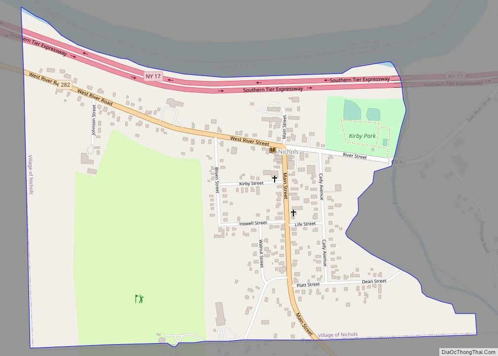
Online Interactive Map
Click on ![]() to view map in "full screen" mode.
to view map in "full screen" mode.
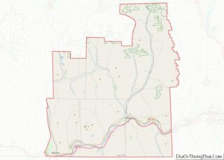
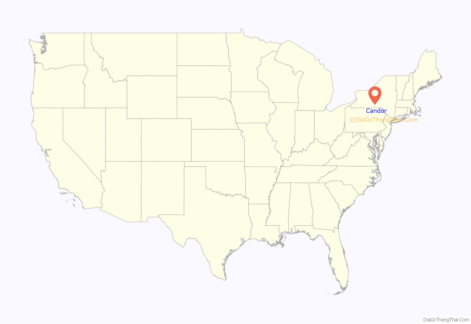
Candor location map. Where is Candor village?
History
The first settlers arrived around 1794. In 1813 a fire burned much of the community. The source and meaning of the village name is not known. The community was formed from the consolidation of the neighboring communities of Candor Center and Candor Corners.
The village was incorporated in 1900.
The John W. McCarty House was listed on the National Register of Historic Places in 2001.
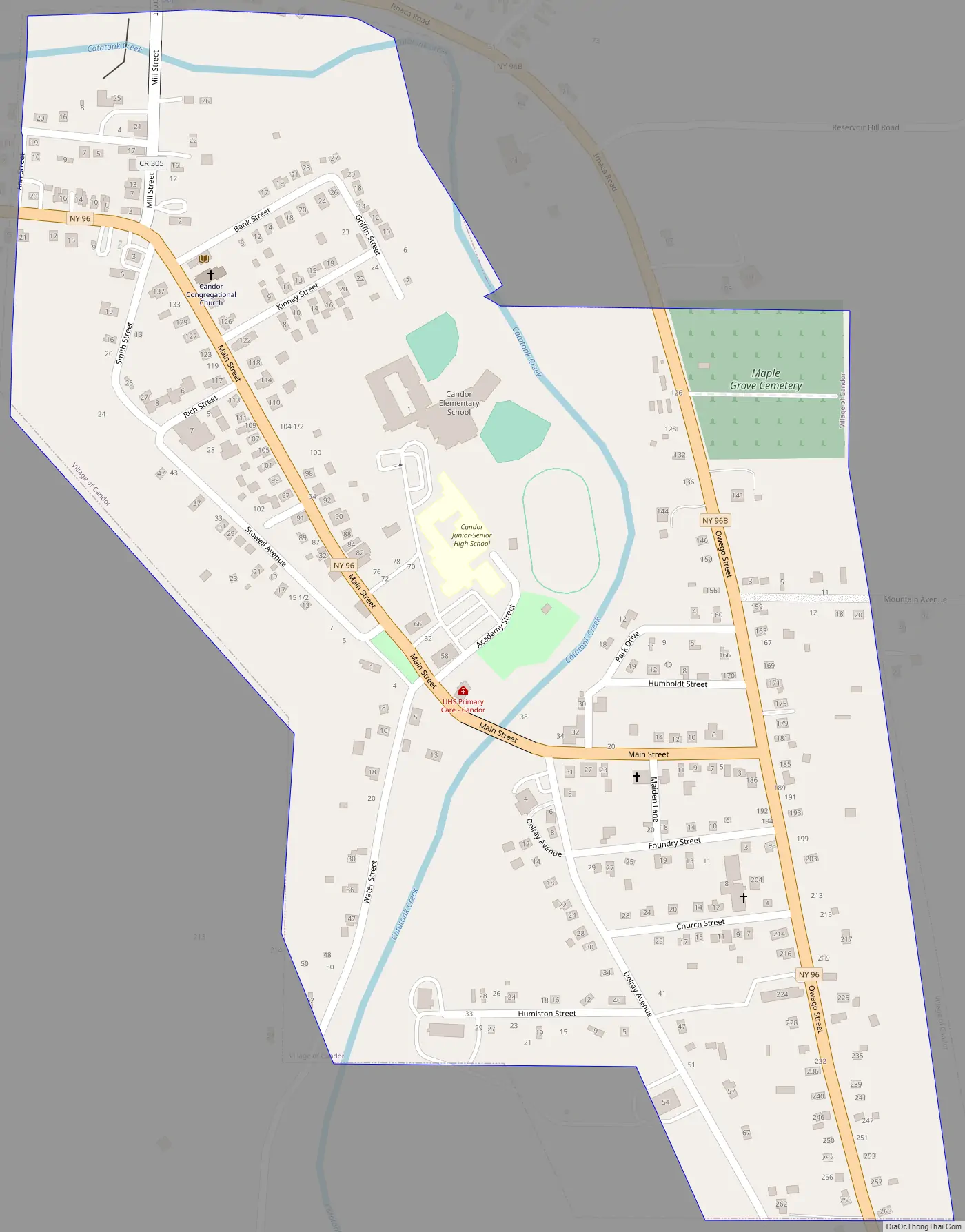
Candor Road Map
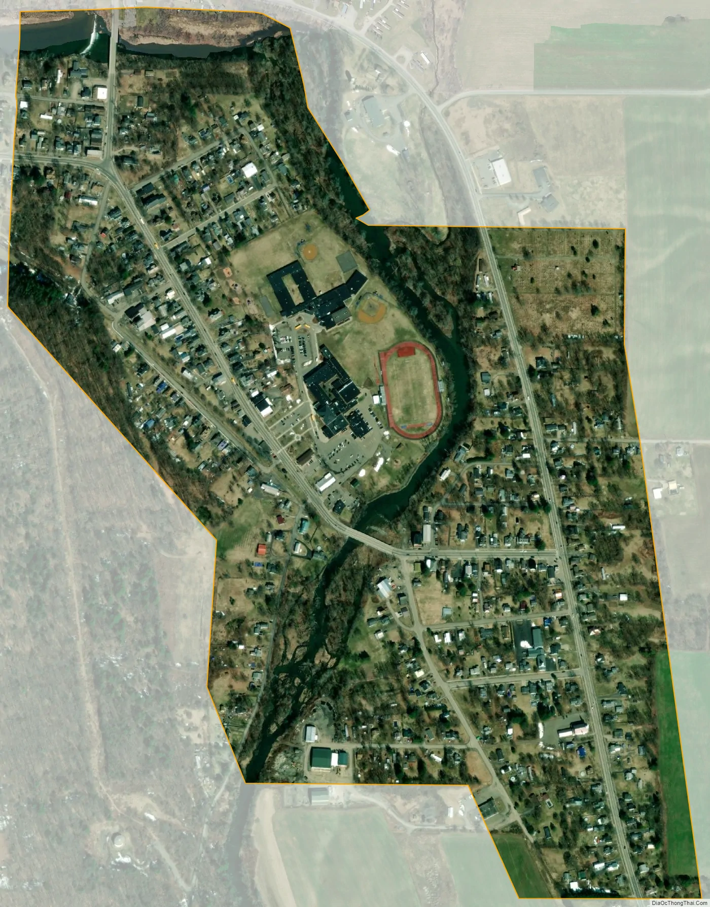
Candor city Satellite Map
Geography
Candor is located at 42°13′48″N 76°20′16″W / 42.23000°N 76.33778°W / 42.23000; -76.33778 (42.230169, -76.337909).
According to the United States Census Bureau, the village has a total area of 0.4 square mile (1.1 km), all land.
Candor is at the junction of New York State Route 96 and New York State Route 96B (Ithaca Road). County Road 103 enters the village from the north.
The Catatonk Creek flows past the village.
See also
Map of New York State and its subdivision:- Albany
- Allegany
- Bronx
- Broome
- Cattaraugus
- Cayuga
- Chautauqua
- Chemung
- Chenango
- Clinton
- Columbia
- Cortland
- Delaware
- Dutchess
- Erie
- Essex
- Franklin
- Fulton
- Genesee
- Greene
- Hamilton
- Herkimer
- Jefferson
- Kings
- Lake Ontario
- Lewis
- Livingston
- Madison
- Monroe
- Montgomery
- Nassau
- New York
- Niagara
- Oneida
- Onondaga
- Ontario
- Orange
- Orleans
- Oswego
- Otsego
- Putnam
- Queens
- Rensselaer
- Richmond
- Rockland
- Saint Lawrence
- Saratoga
- Schenectady
- Schoharie
- Schuyler
- Seneca
- Steuben
- Suffolk
- Sullivan
- Tioga
- Tompkins
- Ulster
- Warren
- Washington
- Wayne
- Westchester
- Wyoming
- Yates
- Alabama
- Alaska
- Arizona
- Arkansas
- California
- Colorado
- Connecticut
- Delaware
- District of Columbia
- Florida
- Georgia
- Hawaii
- Idaho
- Illinois
- Indiana
- Iowa
- Kansas
- Kentucky
- Louisiana
- Maine
- Maryland
- Massachusetts
- Michigan
- Minnesota
- Mississippi
- Missouri
- Montana
- Nebraska
- Nevada
- New Hampshire
- New Jersey
- New Mexico
- New York
- North Carolina
- North Dakota
- Ohio
- Oklahoma
- Oregon
- Pennsylvania
- Rhode Island
- South Carolina
- South Dakota
- Tennessee
- Texas
- Utah
- Vermont
- Virginia
- Washington
- West Virginia
- Wisconsin
- Wyoming