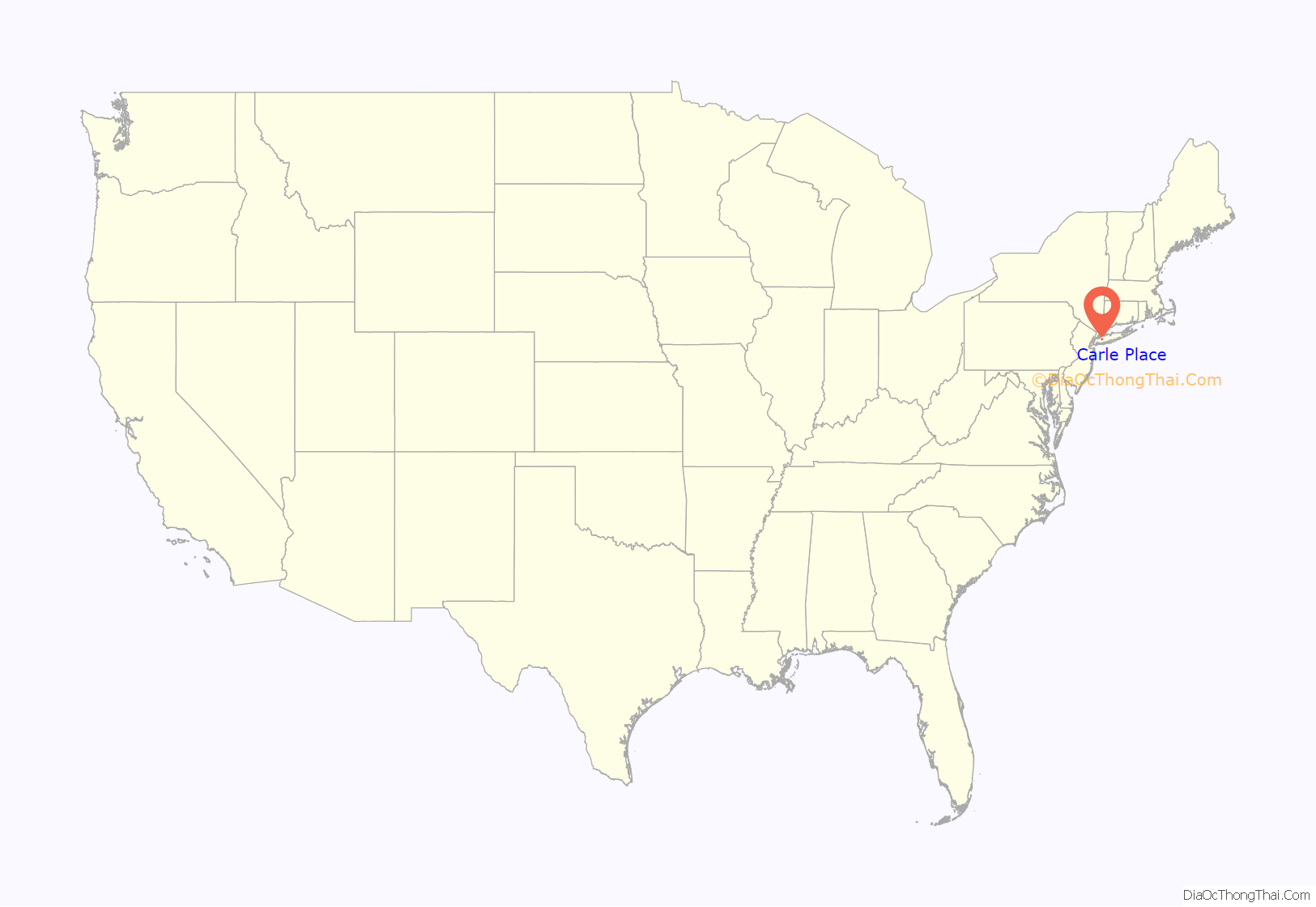
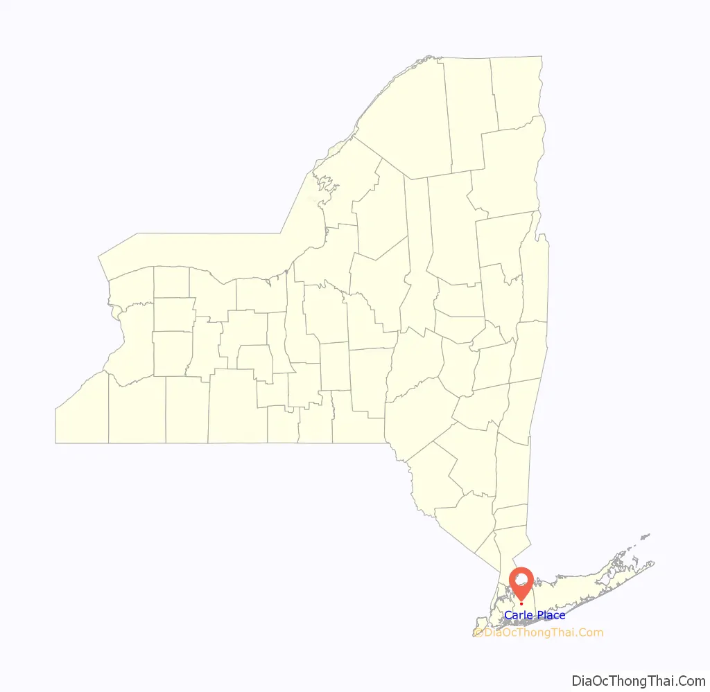
Carle Place (also known historically as Frog Hollow and Mineola Park) is a hamlet and census-designated place (CDP) in the Town of North Hempstead in Nassau County, on Long Island, in New York, United States. The CDP’s population was 4,981 at the 2010 census.
| Name: | Carle Place CDP |
|---|---|
| LSAD Code: | 57 |
| LSAD Description: | CDP (suffix) |
| State: | New York |
| County: | Nassau County |
| Elevation: | 108 ft (33 m) |
| Total Area: | 0.96 sq mi (2.48 km²) |
| Land Area: | 0.96 sq mi (2.48 km²) |
| Water Area: | 0.00 sq mi (0.00 km²) |
| Total Population: | 5,005 |
| Population Density: | 5,224.43/sq mi (2,016.53/km²) |
| ZIP code: | 11514 |
| Area code: | 516 |
| FIPS code: | 3612419 |
| GNISfeature ID: | 945835 |
| Website: | wcpchamber.org |
Online Interactive Map
Click on ![]() to view map in "full screen" mode.
to view map in "full screen" mode.
Carle Place location map. Where is Carle Place CDP?
History
In 1946, developer William J. Levitt bought 19 acres of land near the Carle Place train station for an experiment. His crews brought pre-cut lumber to the site and rapidly assembled 600 low-cost houses, offering affordable suburban living with an easy commute into offices in New York City. Within five years, returning veterans and their families swelled the population by 500 percent. It transformed Carle Place, and served as the prototype for Levittown, the larger development which Levitt began the following year only a few miles away.
The hamlet is named for Silas Carle, or (more specifically) the Carle House – a 32-room house built by Carle in Westbury in the 1800s. It was commonly known as the “Carle Place”, and the surrounding area later took the name.
The area was also known as Mineola Park between ca. 1895 and 1915, after an unsuccessful real estate development of the same name within the hamlet. The name was reverted to Carle Place in 1915, and there was only one further attempt to change it, which took place in 1951 after Levitt & Sons purchased and developed much of the area consisting of the unsuccessful development. The proposal failed, as the majority of residents preferred keeping the name, and no attempts to change it have taken place since.
Another historic name for the area is Frog Hollow, which is still used colloquially and is the source of the Carle Place Union Free School District’s mascot.
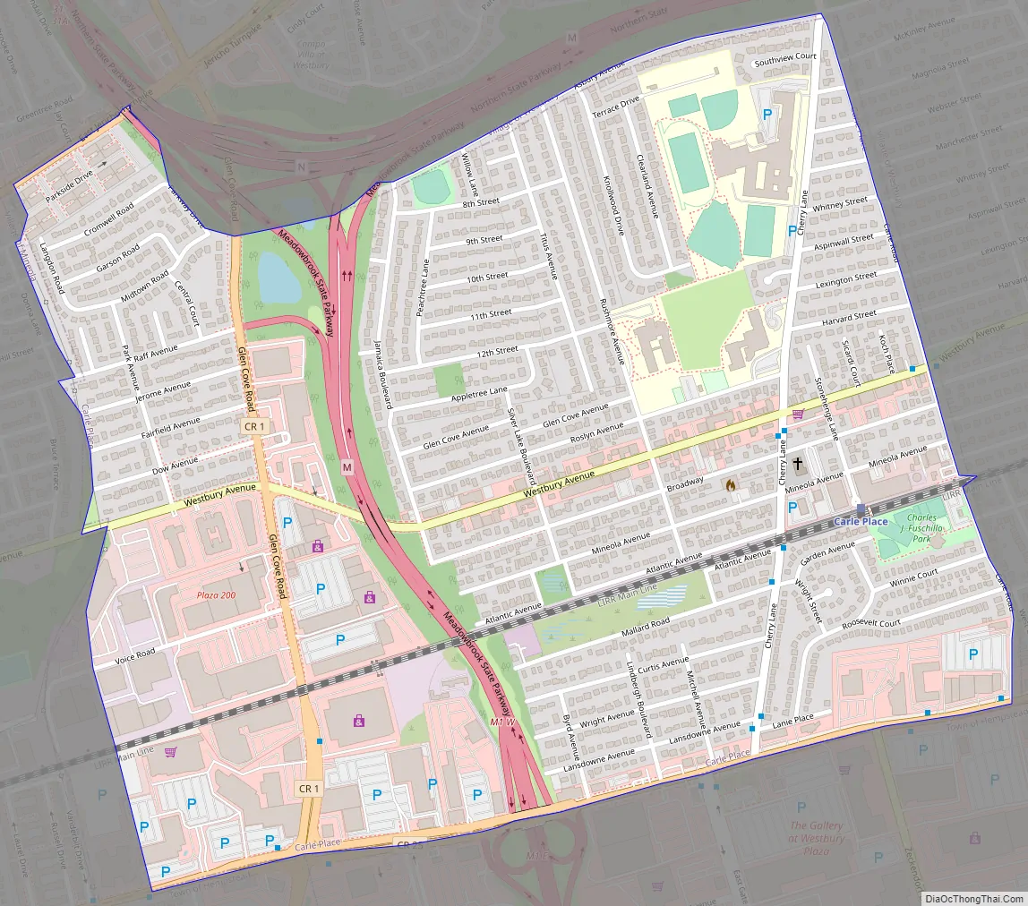
Carle Place Road Map
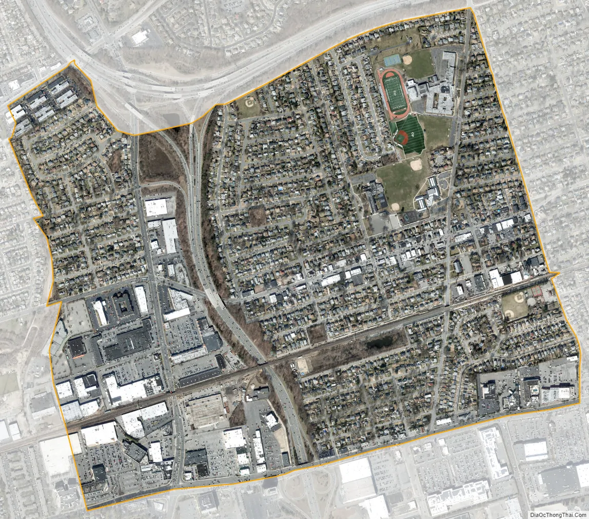
Carle Place city Satellite Map
Geography
According to the United States Census Bureau, the CDP has a total area of 0.935 square miles (2.42 km), all land.
The villages bordering Carle Place are Mineola, Garden City, and Westbury. Carle Place also borders the part of Uniondale formerly known as East Garden City, an unincorporated area of the Town of Hempstead.
Carle Place’s southern border runs along Old Country Road, while its eastern border runs along Carle Road.
The southern border also makes up part of the border between North Hempstead and Hempstead.
Most of the western border runs along the path of the former Long Island Motor Parkway.
See also
Map of New York State and its subdivision:- Albany
- Allegany
- Bronx
- Broome
- Cattaraugus
- Cayuga
- Chautauqua
- Chemung
- Chenango
- Clinton
- Columbia
- Cortland
- Delaware
- Dutchess
- Erie
- Essex
- Franklin
- Fulton
- Genesee
- Greene
- Hamilton
- Herkimer
- Jefferson
- Kings
- Lake Ontario
- Lewis
- Livingston
- Madison
- Monroe
- Montgomery
- Nassau
- New York
- Niagara
- Oneida
- Onondaga
- Ontario
- Orange
- Orleans
- Oswego
- Otsego
- Putnam
- Queens
- Rensselaer
- Richmond
- Rockland
- Saint Lawrence
- Saratoga
- Schenectady
- Schoharie
- Schuyler
- Seneca
- Steuben
- Suffolk
- Sullivan
- Tioga
- Tompkins
- Ulster
- Warren
- Washington
- Wayne
- Westchester
- Wyoming
- Yates
- Alabama
- Alaska
- Arizona
- Arkansas
- California
- Colorado
- Connecticut
- Delaware
- District of Columbia
- Florida
- Georgia
- Hawaii
- Idaho
- Illinois
- Indiana
- Iowa
- Kansas
- Kentucky
- Louisiana
- Maine
- Maryland
- Massachusetts
- Michigan
- Minnesota
- Mississippi
- Missouri
- Montana
- Nebraska
- Nevada
- New Hampshire
- New Jersey
- New Mexico
- New York
- North Carolina
- North Dakota
- Ohio
- Oklahoma
- Oregon
- Pennsylvania
- Rhode Island
- South Carolina
- South Dakota
- Tennessee
- Texas
- Utah
- Vermont
- Virginia
- Washington
- West Virginia
- Wisconsin
- Wyoming


