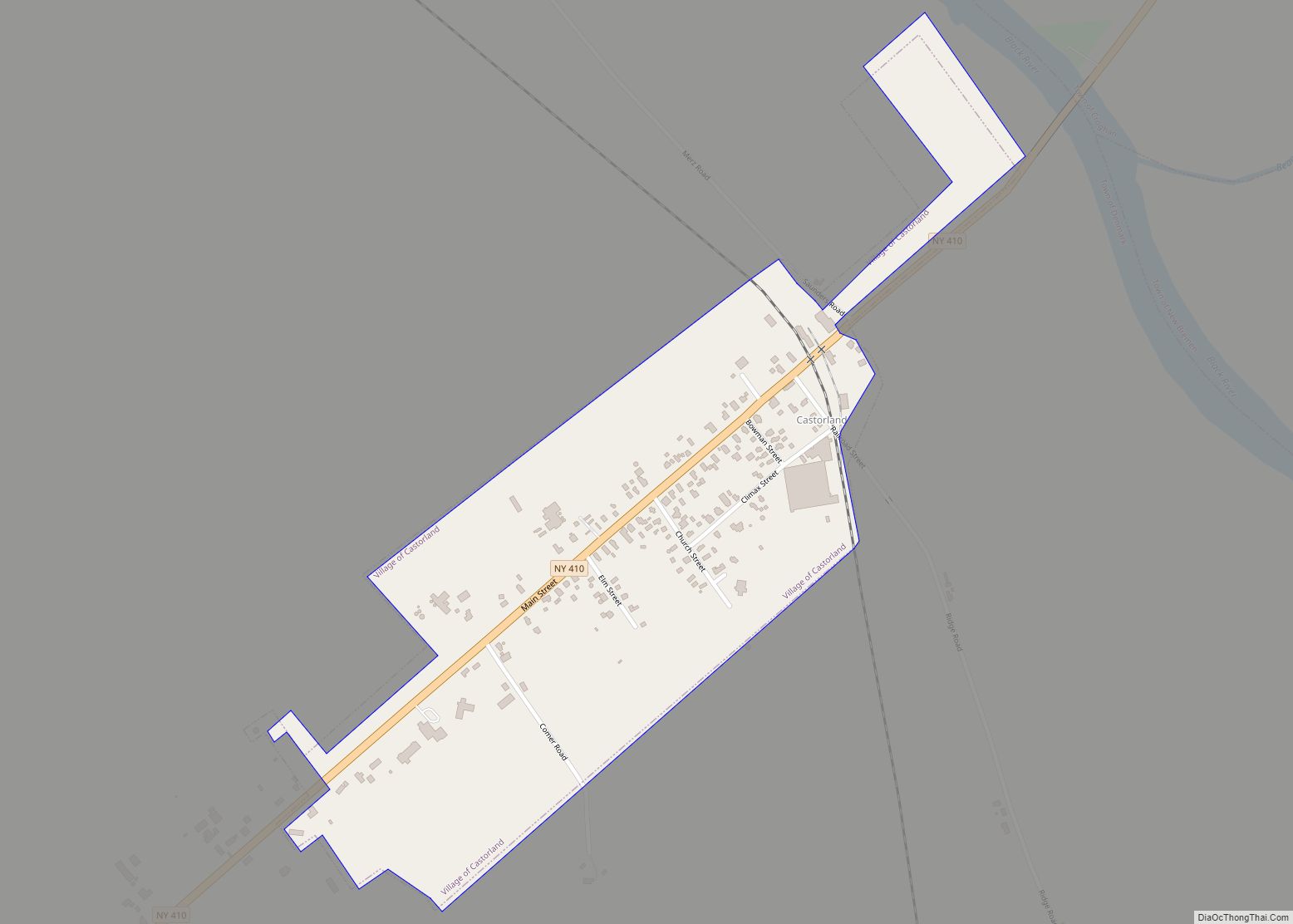
Castorland is a village in Lewis County, New York, United States; it is north of Lowville and southeast of Carthage. The population was 360 in 2019.
| Name: | Castorland village |
|---|---|
| LSAD Code: | 47 |
| LSAD Description: | village (suffix) |
| State: | New York |
| County: | Lewis County |
| Elevation: | 741 ft (226 m) |
| Total Area: | 0.32 sq mi (0.83 km²) |
| Land Area: | 0.32 sq mi (0.83 km²) |
| Water Area: | 0.00 sq mi (0.00 km²) |
| Total Population: | 334 |
| Population Density: | 1,040.50/sq mi (401.66/km²) |
| ZIP code: | 13620 |
| Area code: | 315 |
| FIPS code: | 3612881 |
| GNISfeature ID: | 946006 |
| Website: | castorland.racog.org |
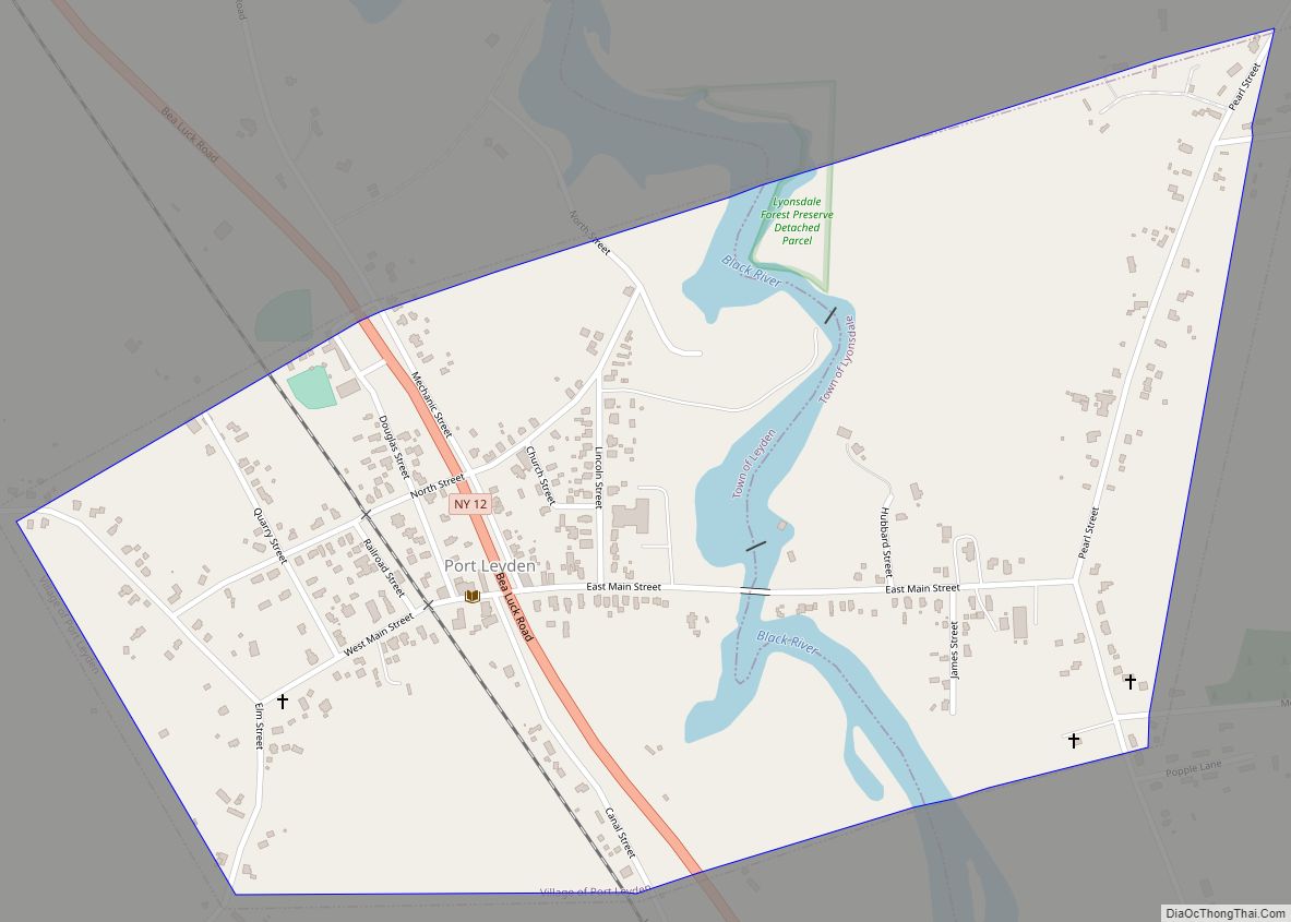
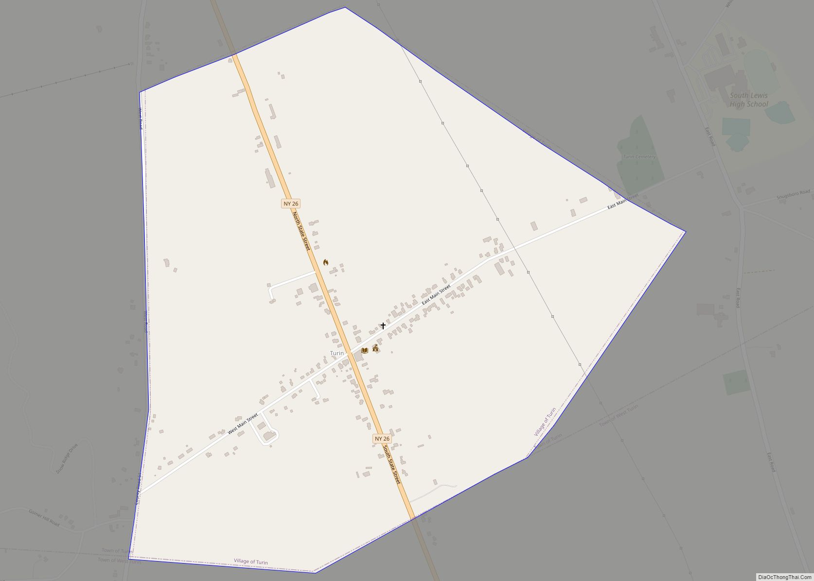
Online Interactive Map
Click on ![]() to view map in "full screen" mode.
to view map in "full screen" mode.
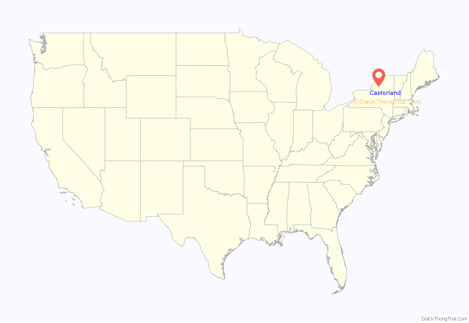
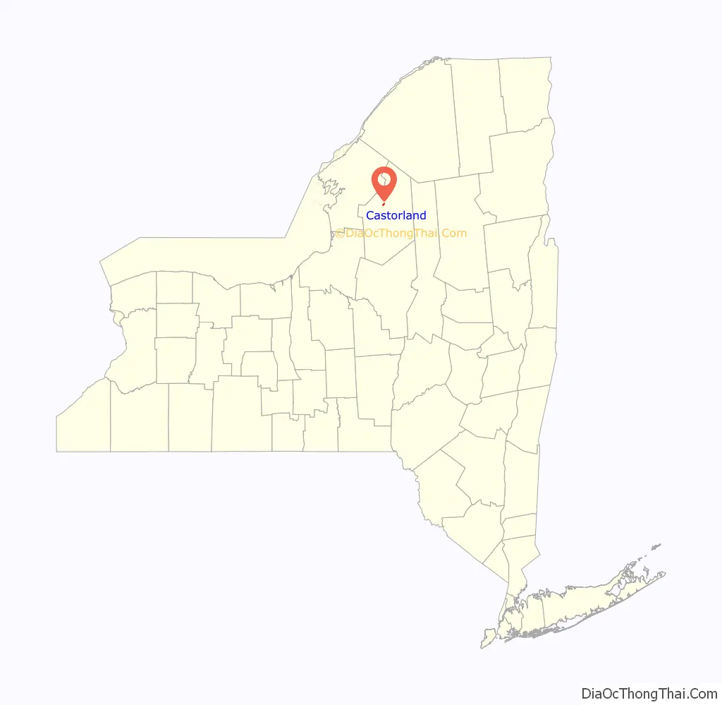
Castorland location map. Where is Castorland village?
History
The village name means “Land of the Beaver”. The name stems from a colony of refugees from the French Revolution, established in 1792 to provide a new home away from the violence in France. The land, 210,000 acres (850 km), was originally part of Macomb’s Purchase. It was purchased by La Compagnie de New York. “Castorland” is a literal translation of the old Indian name of the area, Couch-sach-ra-ga. Due to many reverses, including harsh winters, poor planning, and loss of livestock and funds, the colony was dissolved in 1814. Many of the original settlers from the Castorland colony returned to Europe or moved to larger communities.
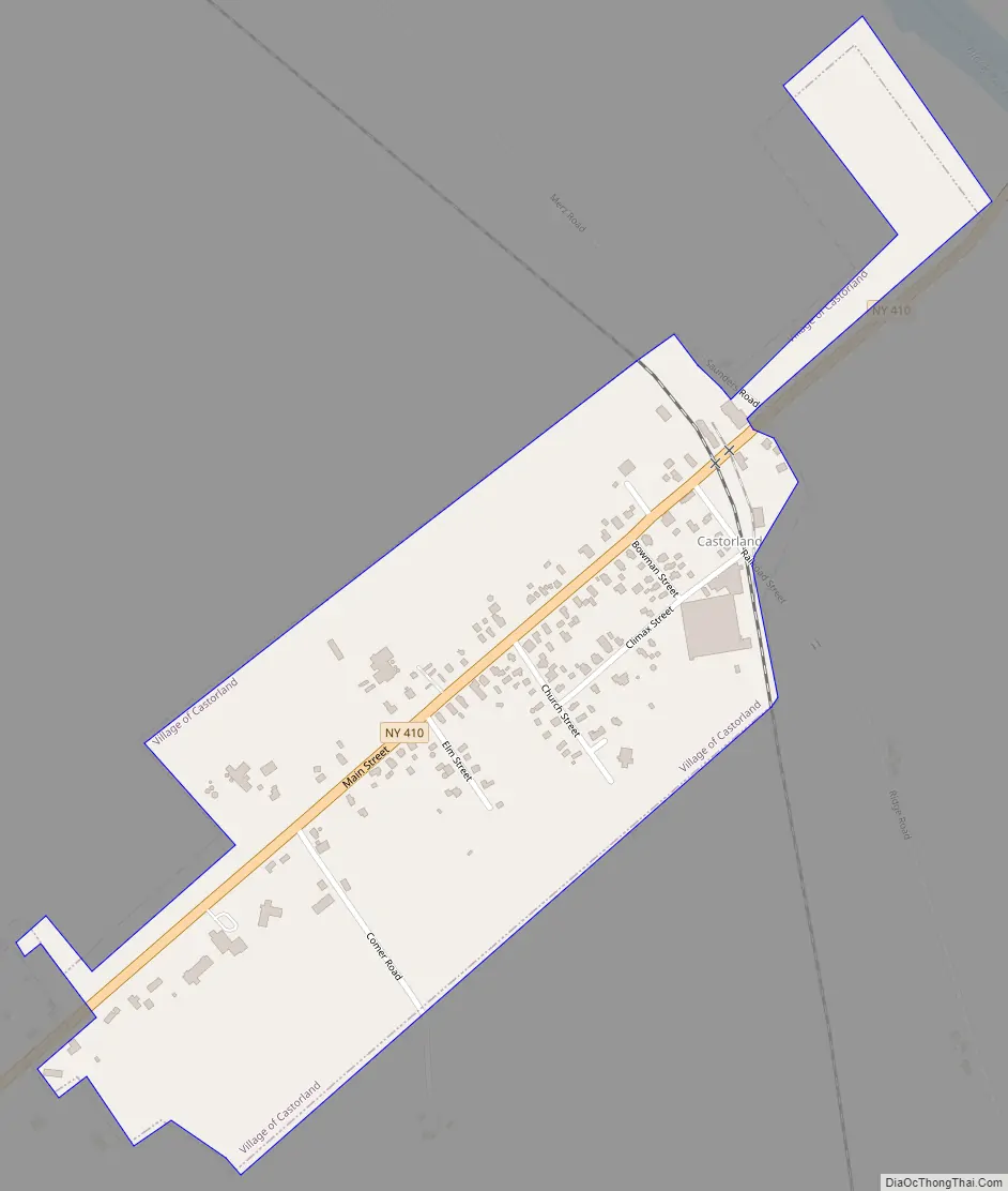
Castorland Road Map
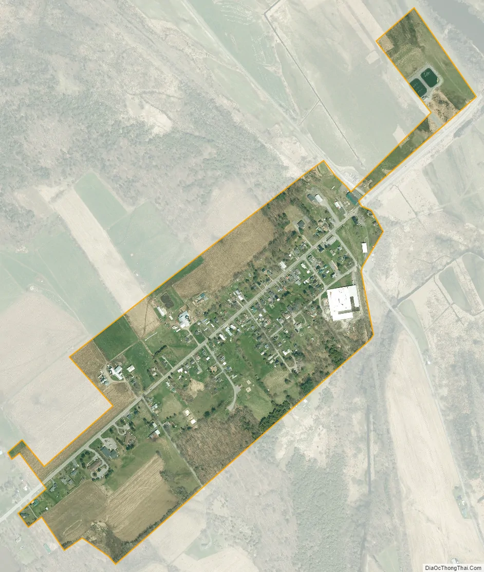
Castorland city Satellite Map
Geography
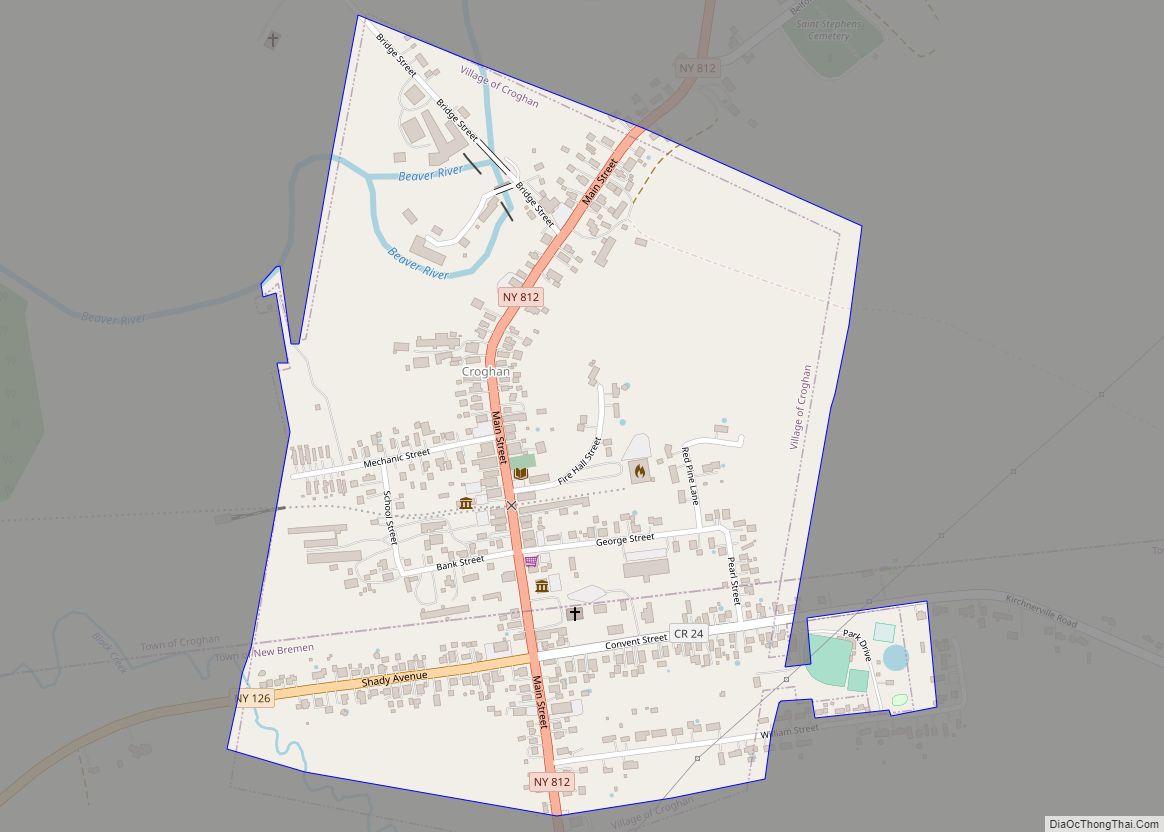
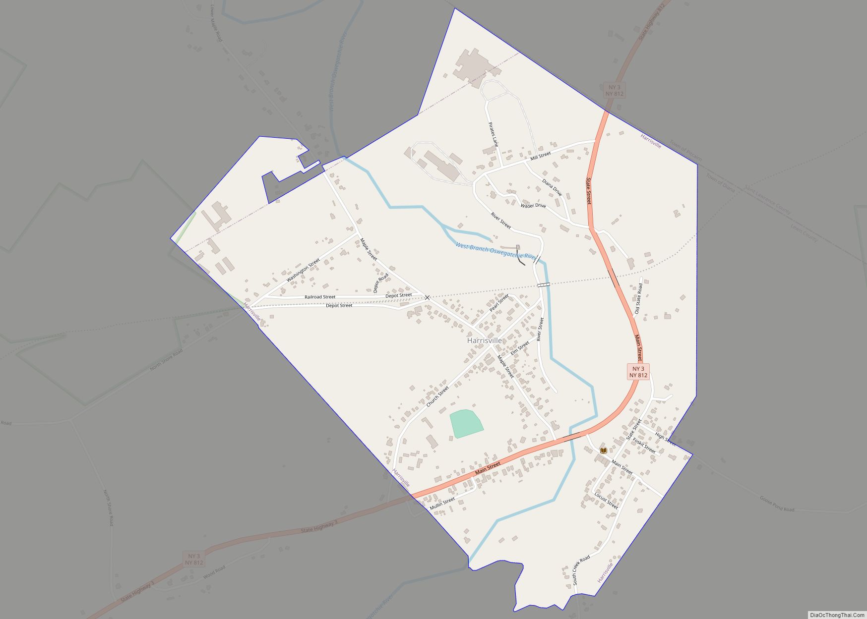
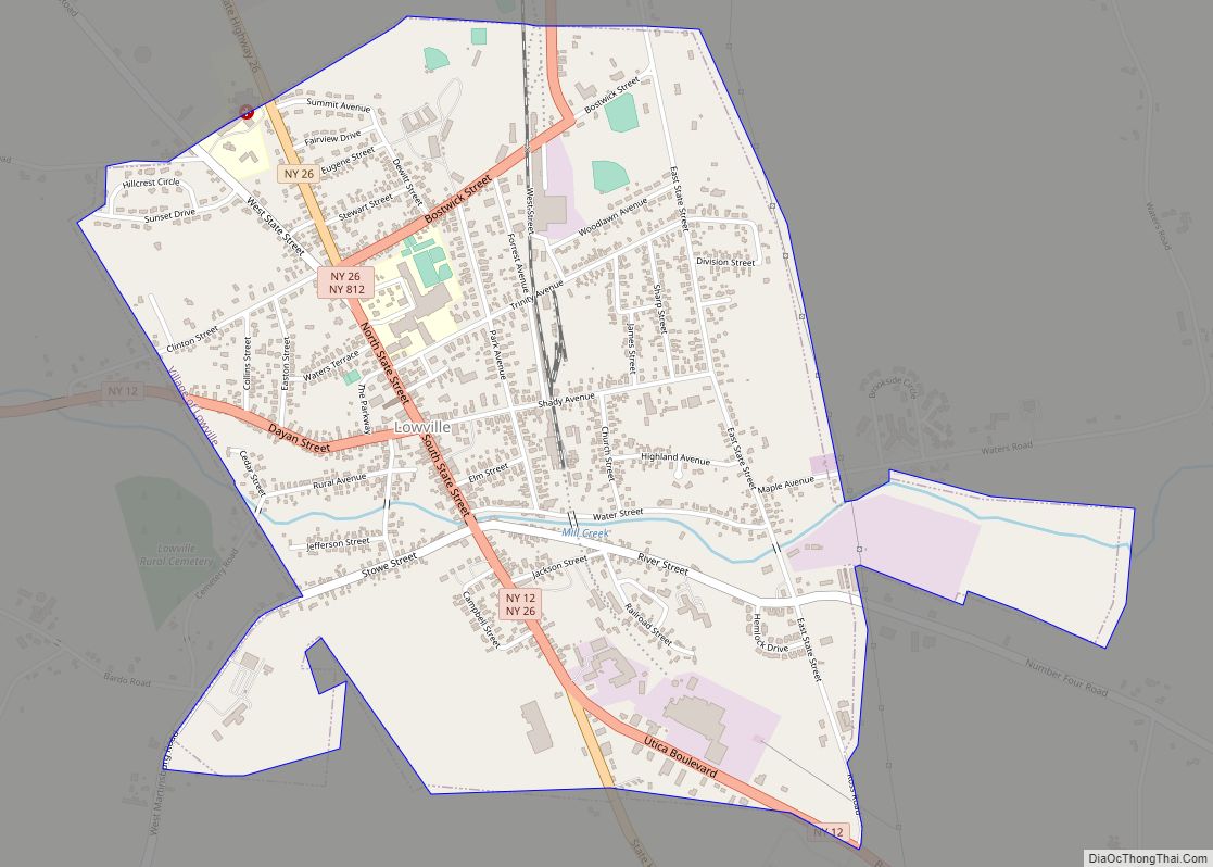
Castorland is located in the southeast corner of the town of Denmark at 43°53′15″N 75°30′50″W / 43.88750°N 75.51389°W / 43.88750; -75.51389 (43.887379, -75.514002), on ground rising above the west side of the valley of the Black River, near the point where the Beaver River enters from the east. The village is located on New York State Route 410. The village of Croghan is 7 miles (11 km) east, Lowville is 8 miles (13 km) to the south, and Carthage is 9 miles (14 km) to the northwest.
According to the United States Census Bureau, the village of Castorland has a total area of 0.3 square miles (0.8 km), all land.
See also
Map of New York State and its subdivision:- Albany
- Allegany
- Bronx
- Broome
- Cattaraugus
- Cayuga
- Chautauqua
- Chemung
- Chenango
- Clinton
- Columbia
- Cortland
- Delaware
- Dutchess
- Erie
- Essex
- Franklin
- Fulton
- Genesee
- Greene
- Hamilton
- Herkimer
- Jefferson
- Kings
- Lake Ontario
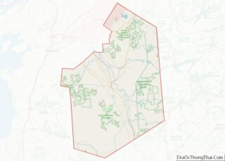
- Lewis
- Livingston
- Madison
- Monroe
- Montgomery
- Nassau
- New York
- Niagara
- Oneida
- Onondaga
- Ontario
- Orange
- Orleans
- Oswego
- Otsego
- Putnam
- Queens
- Rensselaer
- Richmond
- Rockland
- Saint Lawrence
- Saratoga
- Schenectady
- Schoharie
- Schuyler
- Seneca
- Steuben
- Suffolk
- Sullivan
- Tioga
- Tompkins
- Ulster
- Warren
- Washington
- Wayne
- Westchester
- Wyoming
- Yates
- Alabama
- Alaska
- Arizona
- Arkansas
- California
- Colorado
- Connecticut
- Delaware
- District of Columbia
- Florida
- Georgia
- Hawaii
- Idaho
- Illinois
- Indiana
- Iowa
- Kansas
- Kentucky
- Louisiana
- Maine
- Maryland
- Massachusetts
- Michigan
- Minnesota
- Mississippi
- Missouri
- Montana
- Nebraska
- Nevada
- New Hampshire
- New Jersey
- New Mexico
- New York
- North Carolina
- North Dakota
- Ohio
- Oklahoma
- Oregon
- Pennsylvania
- Rhode Island
- South Carolina
- South Dakota
- Tennessee
- Texas
- Utah
- Vermont
- Virginia
- Washington
- West Virginia
- Wisconsin
- Wyoming