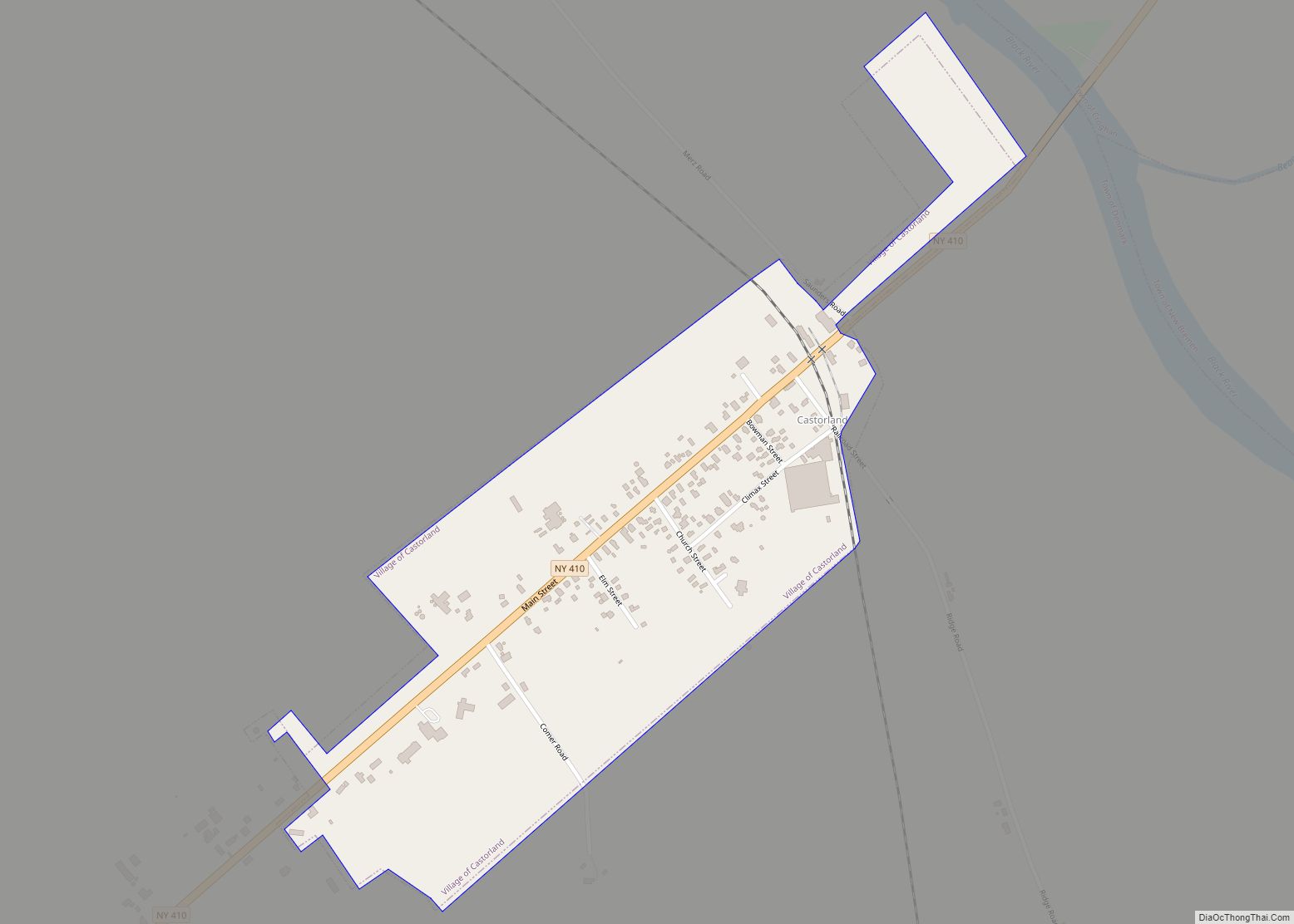
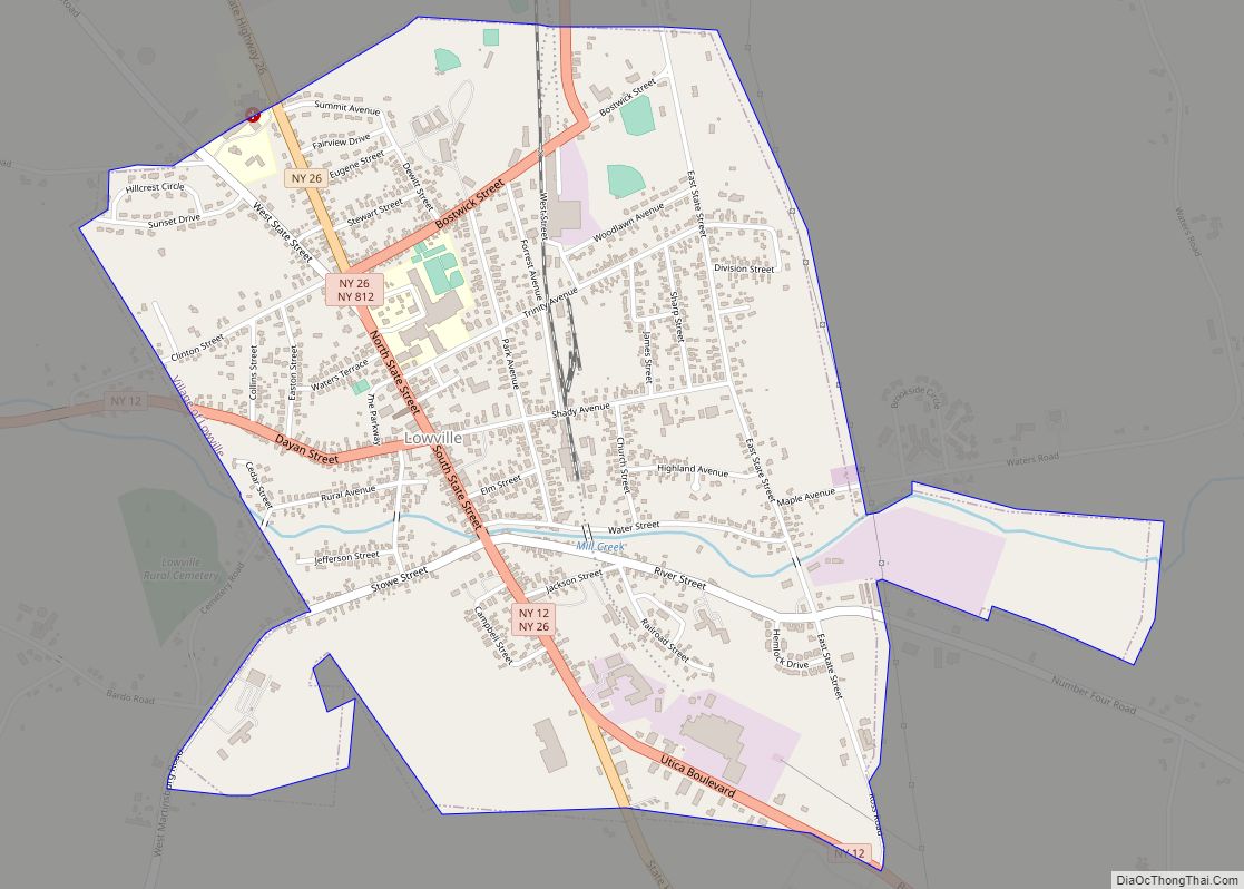
Lowville /ˈlaʊvɪl/ is a village in Lewis County, New York, United States. As of the 2010 census it had a population of 3,470. The village is in the Black River Valley, between the foothills of the Adirondack Mountains and the Tug Hill Plateau, in an area often referred to as the North Country. It is located in the center of Lewis County, in the southeastern part of the similarly named town of Lowville.
Lowville is the county seat of Lewis County. The name of both the village and town is derived from Nicholas Low, an early landowner of Dutch descent, who had emigrated with his wife and three small children from a rural village outside of Amsterdam in 1778.
| Name: | Lowville village |
|---|---|
| LSAD Code: | 47 |
| LSAD Description: | village (suffix) |
| State: | New York |
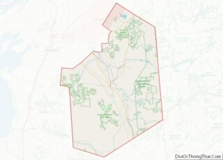
| County: | Lewis County |
| Incorporated: | 1847 |
| Elevation: | 879 ft (268 m) |
| Total Area: | 1.91 sq mi (4.95 km²) |
| Land Area: | 1.91 sq mi (4.95 km²) |
| Water Area: | 0.00 sq mi (0.00 km²) |
| Total Population: | 3,272 |
| Population Density: | 1,712.19/sq mi (661.06/km²) |
| ZIP code: | 13367 |
| Area code: | 315 |
| FIPS code: | 3643720 |
| GNISfeature ID: | 2390950 |
| Website: | villageoflowville.org |
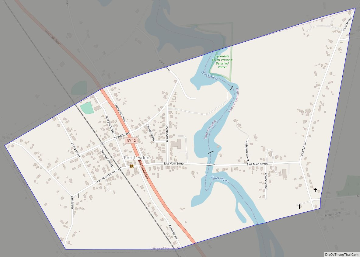
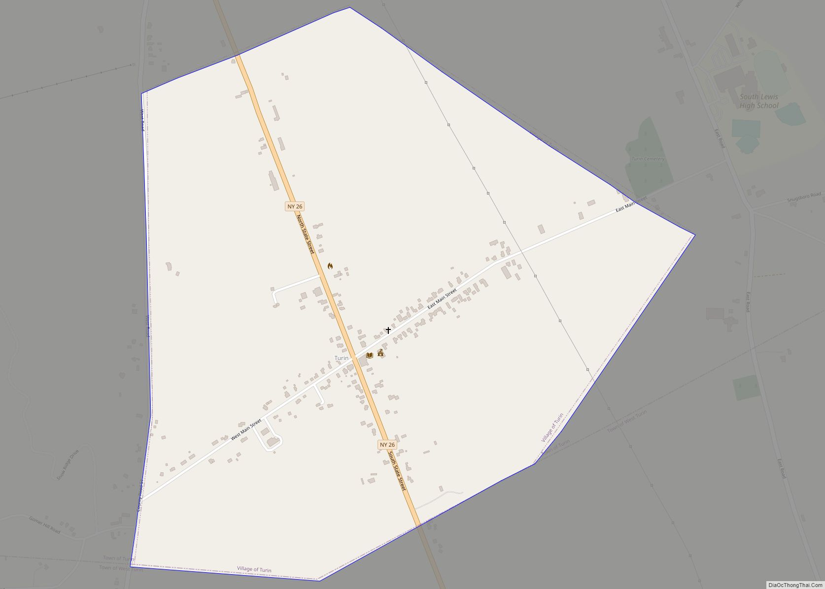
Online Interactive Map
Click on ![]() to view map in "full screen" mode.
to view map in "full screen" mode.
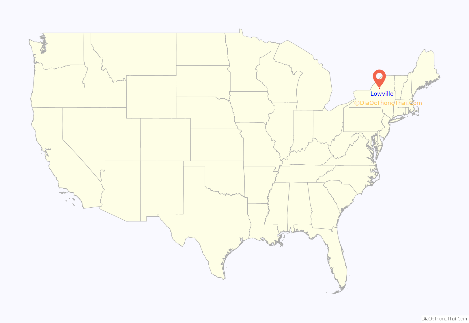
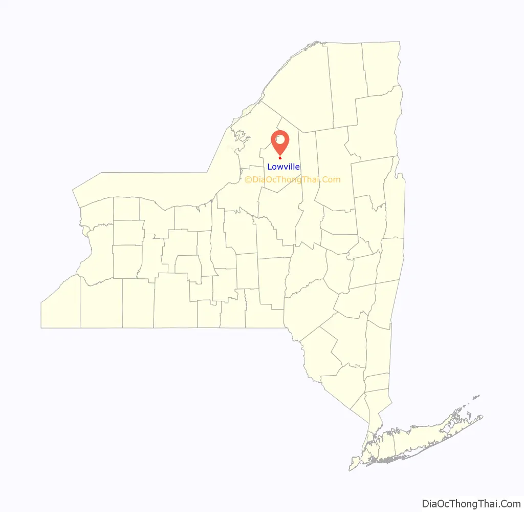
Lowville location map. Where is Lowville village?
History
Silas Stow, an early settler, established himself in Lowville in 1797. The village of Lowville was incorporated in 1847 and charter was adopted in 1854. It was rechartered in 1858 and designated the county seat in 1864, succeeding the community of Martinsburg.
Within the village, the Franklin B. Hough House is a National Historic Landmark, and it, along with the Bateman Hotel, Lewis County Fairgrounds, Lewis County Soldiers’ and Sailors’ Monument, Lowville Presbyterian Church, and Stoddard–O’Connor House are listed on the National Register of Historic Places.
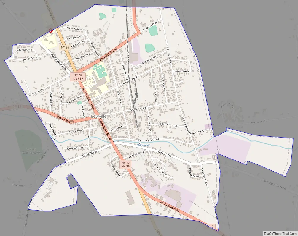
Lowville Road Map
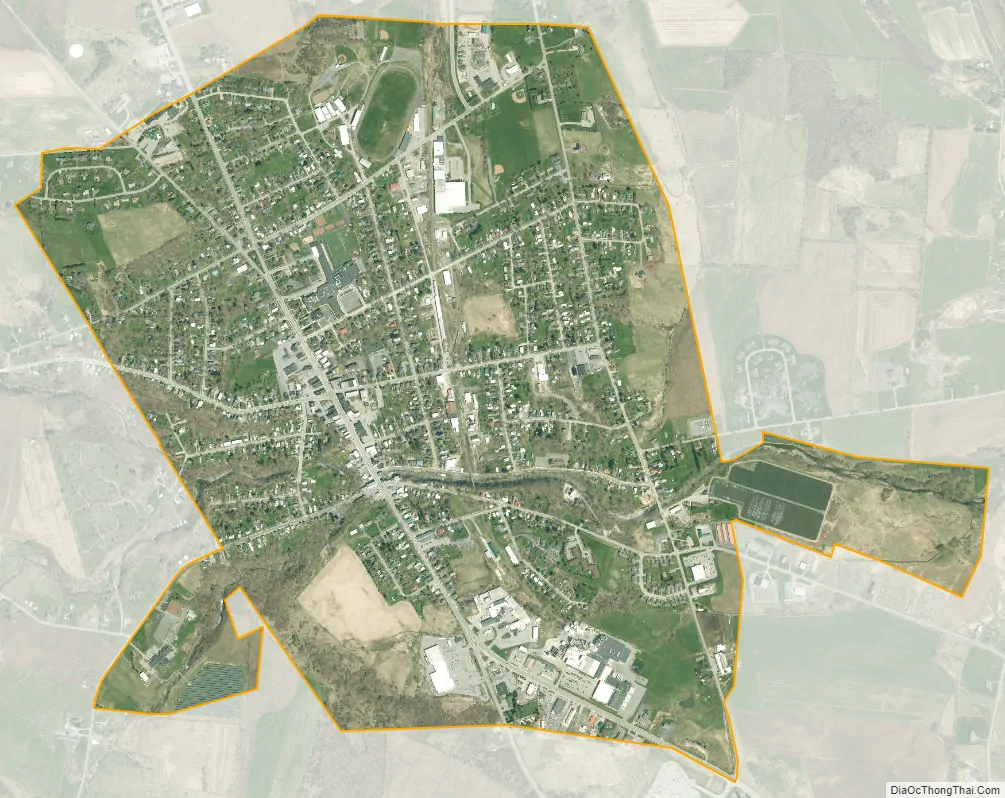
Lowville city Satellite Map
Geography
Lowville is located in central Lewis County in the southeast part of the town of Lowville. According to the United States Census Bureau, the village has a total area of 1.9 square miles (4.9 km), all land. It is just west of the Black River, and Mill Creek flows eastward through the village to the river.
The village is at the junction of state routes 12, 26 and 812. Route 12 leads northwest 27 miles (43 km) to Watertown and south-southeast 55 miles (89 km) to Utica, while Route 26 leads north-northwest 24 miles (39 km) to Fort Drum and south 42 miles (68 km) to Rome. Route 812 leads north-northeast 30 miles (48 km) to Harrisville.
Whetstone Gulf, a 3-mile-long (4.8 km) canyon cut into the eastern side of the Tug Hill Plateau, is 7 miles (11 km) south of the village. The canyon is part of Whetstone Gulf State Park.
See also
Map of New York State and its subdivision:- Albany
- Allegany
- Bronx
- Broome
- Cattaraugus
- Cayuga
- Chautauqua
- Chemung
- Chenango
- Clinton
- Columbia
- Cortland
- Delaware
- Dutchess
- Erie
- Essex
- Franklin
- Fulton
- Genesee
- Greene
- Hamilton
- Herkimer
- Jefferson
- Kings
- Lake Ontario
- Lewis
- Livingston
- Madison
- Monroe
- Montgomery
- Nassau
- New York
- Niagara
- Oneida
- Onondaga
- Ontario
- Orange
- Orleans
- Oswego
- Otsego
- Putnam
- Queens
- Rensselaer
- Richmond
- Rockland
- Saint Lawrence
- Saratoga
- Schenectady
- Schoharie
- Schuyler
- Seneca
- Steuben
- Suffolk
- Sullivan
- Tioga
- Tompkins
- Ulster
- Warren
- Washington
- Wayne
- Westchester
- Wyoming
- Yates
- Alabama
- Alaska
- Arizona
- Arkansas
- California
- Colorado
- Connecticut
- Delaware
- District of Columbia
- Florida
- Georgia
- Hawaii
- Idaho
- Illinois
- Indiana
- Iowa
- Kansas
- Kentucky
- Louisiana
- Maine
- Maryland
- Massachusetts
- Michigan
- Minnesota
- Mississippi
- Missouri
- Montana
- Nebraska
- Nevada
- New Hampshire
- New Jersey
- New Mexico
- New York
- North Carolina
- North Dakota
- Ohio
- Oklahoma
- Oregon
- Pennsylvania
- Rhode Island
- South Carolina
- South Dakota
- Tennessee
- Texas
- Utah
- Vermont
- Virginia
- Washington
- West Virginia
- Wisconsin
- Wyoming