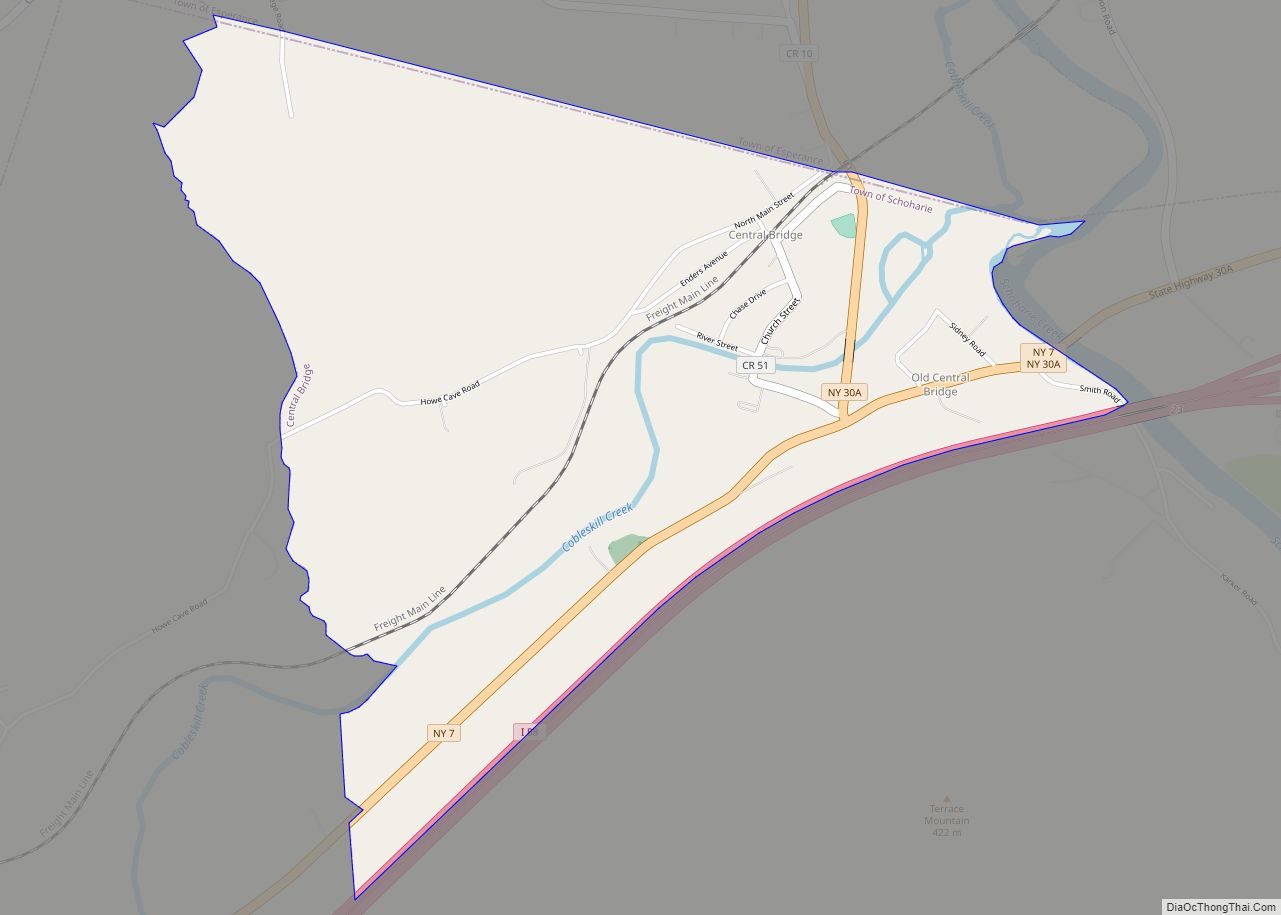
Central Bridge is a hamlet and census-designated place (CDP) within the towns of Schoharie and Esperance in Schoharie County, New York, United States. As of the 2010 census, the population was 593.
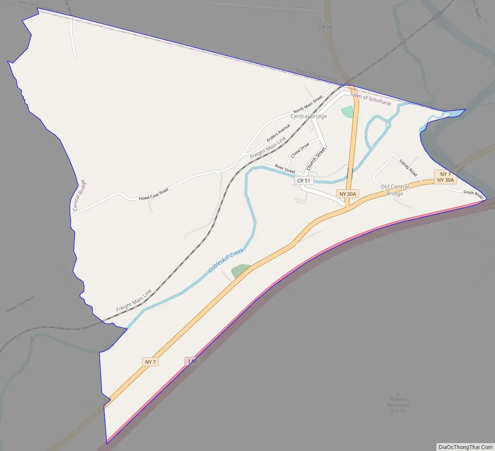
Central Bridge is in northeastern Schoharie County, in the northwestern part of the town of Schoharie and the southwestern section of Esperance. It is in the valley of Cobleskill Creek where it joins Schoharie Creek, a northward-flowing tributary of the Mohawk River. It is bordered to the south by Interstate 88 and to the east by Schoharie Creek. New York State Route 7 runs through the southern part of the community, leading east 11 miles (18 km) to Duanesburg and 23 miles (37 km) to Schenectady, and west 8 miles (13 km) to Cobleskill. New York State Route 30A passes through the center of the CDP, leading north 3 miles (5 km) to Sloansville and 18 miles (29 km) to Fultonville.
The hamlet of Old Central Bridge is in the southern part of the CDP.
| Name: | Central Bridge CDP |
|---|---|
| LSAD Code: | 57 |
| LSAD Description: | CDP (suffix) |
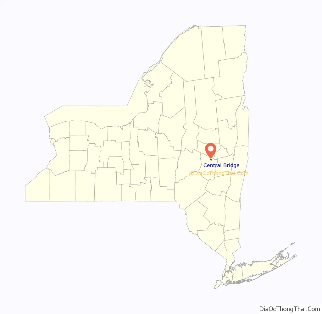
| State: | New York |
| County: | Schoharie County |
| Elevation: | 621 ft (189 m) |
| Total Area: | 2.87 sq mi (7.43 km²) |
| Land Area: | 2.86 sq mi (7.40 km²) |
| Water Area: | 0.01 sq mi (0.04 km²) |
| Total Population: | 740 |
| Population Density: | 259.10/sq mi (100.04/km²) |
| ZIP code: | 12035 (Central Bridge) 12092 (Howes Cave) |
| Area code: | 518/838 |
| FIPS code: | 3613530 |
| GNISfeature ID: | 2628041 |
Online Interactive Map
Click on ![]() to view map in "full screen" mode.
to view map in "full screen" mode.
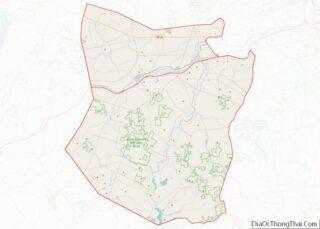
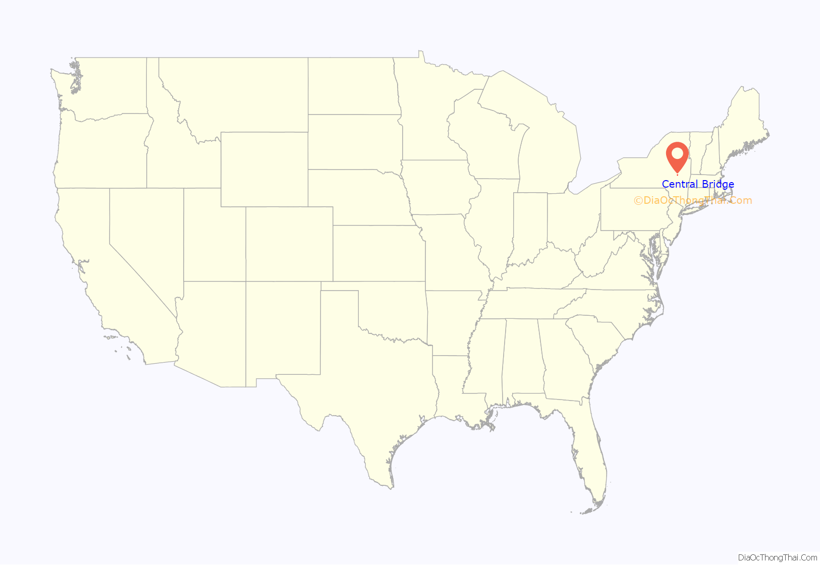
Central Bridge location map. Where is Central Bridge CDP?
Central Bridge Road Map
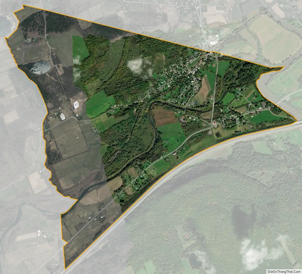
Central Bridge city Satellite Map
See also
Map of New York State and its subdivision:- Albany
- Allegany
- Bronx
- Broome
- Cattaraugus
- Cayuga
- Chautauqua
- Chemung
- Chenango
- Clinton
- Columbia
- Cortland
- Delaware
- Dutchess
- Erie
- Essex
- Franklin
- Fulton
- Genesee
- Greene
- Hamilton
- Herkimer
- Jefferson
- Kings
- Lake Ontario
- Lewis
- Livingston
- Madison
- Monroe
- Montgomery
- Nassau
- New York
- Niagara
- Oneida
- Onondaga
- Ontario
- Orange
- Orleans
- Oswego
- Otsego
- Putnam
- Queens
- Rensselaer
- Richmond
- Rockland
- Saint Lawrence
- Saratoga
- Schenectady
- Schoharie
- Schuyler
- Seneca
- Steuben
- Suffolk
- Sullivan
- Tioga
- Tompkins
- Ulster
- Warren
- Washington
- Wayne
- Westchester
- Wyoming
- Yates
- Alabama
- Alaska
- Arizona
- Arkansas
- California
- Colorado
- Connecticut
- Delaware
- District of Columbia
- Florida
- Georgia
- Hawaii
- Idaho
- Illinois
- Indiana
- Iowa
- Kansas
- Kentucky
- Louisiana
- Maine
- Maryland
- Massachusetts
- Michigan
- Minnesota
- Mississippi
- Missouri
- Montana
- Nebraska
- Nevada
- New Hampshire
- New Jersey
- New Mexico
- New York
- North Carolina
- North Dakota
- Ohio
- Oklahoma
- Oregon
- Pennsylvania
- Rhode Island
- South Carolina
- South Dakota
- Tennessee
- Texas
- Utah
- Vermont
- Virginia
- Washington
- West Virginia
- Wisconsin
- Wyoming