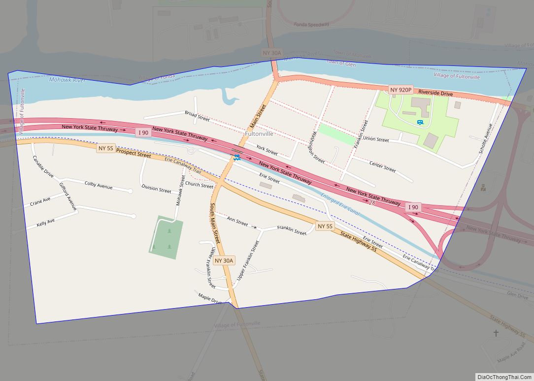
Fultonville is a village in Montgomery County, New York, United States. The village is named after Robert Fulton, inventor of the steamboat.
The Fultonville Village is on the south bank of the Mohawk River in the Town of Glen. It is west of Amsterdam, and is sometimes jokingly referred to as South Fonda due to the two villages being in such close proximity with Fonda being more regionally dominant.
In 2019, the area of the village that had been developed in the 19th and early 20th centuries was listed on the National Register of Historic Places as the Fultonville Historic District in recognition of its well-preserved architecture from its original settlement, the era centering around the development of the Erie Canal, and afterwards.
| Name: | Fultonville village |
|---|---|
| LSAD Code: | 47 |
| LSAD Description: | village (suffix) |
| State: | New York |
| County: | Montgomery County |
| Elevation: | 289 ft (88 m) |
| Total Area: | 0.52 sq mi (1.35 km²) |
| Land Area: | 0.48 sq mi (1.24 km²) |
| Water Area: | 0.04 sq mi (0.11 km²) |
| Total Population: | 742 |
| Population Density: | 1,555.56/sq mi (600.55/km²) |
| ZIP code: | 12016, 12072 |
| Area code: | 518 |
| FIPS code: | 3627859 |
| GNISfeature ID: | 0950807 |
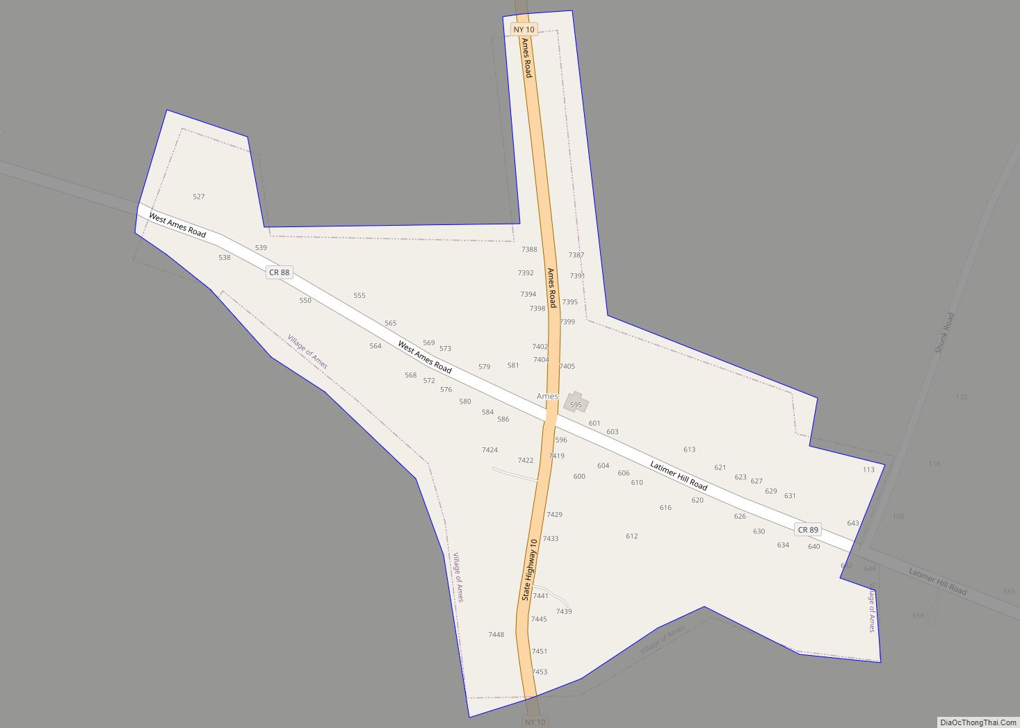
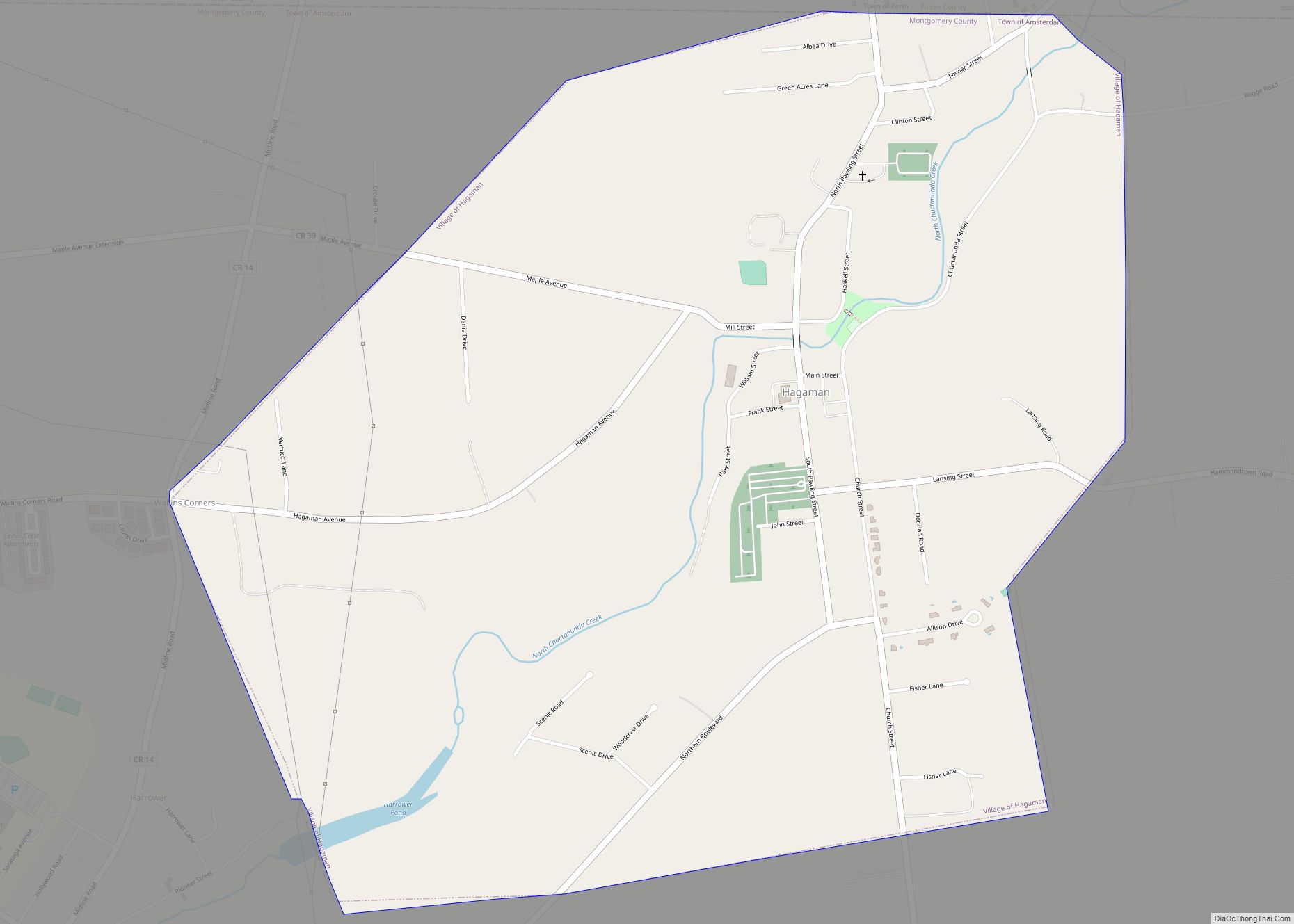
Online Interactive Map
Click on ![]() to view map in "full screen" mode.
to view map in "full screen" mode.
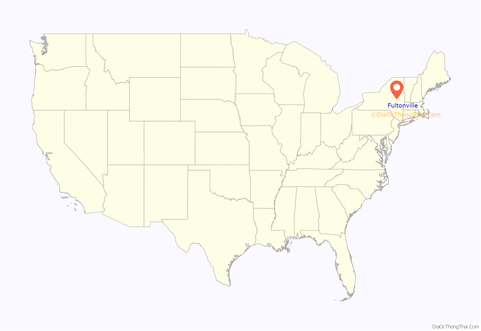
Fultonville location map. Where is Fultonville village?

History
Starin Mausoleum in Fultonville Cemetery – 1907-1915
The area was located near to the site of the Mohawk village of Andagaron during the middle of the seventeenth century, which was located about a mile to the west.
The first white settlement on the site was made around 1750 by John Evart Van Epps, and was called “Van Epps Swamp” due to the swampland by the river. During the American Revolution, the homes that were located here were burned.
Fultonville was founded around 1824 in anticipation of the opening of the Erie Canal and was incorporated as a village on August 9, 1848.
The West Shore Railroad, which was later absorbed into the New York Central system, erected a station in the village in 1889.
John Henry Starin was born in August of 1825 in Sammonsville on the north side of the Mohawk, when the Erie Canal was in its infancy. His father, Myndert, had a tavern along the river and his grandfather, John, was a farmer who had served in the military during the American Revolution. The family was successful and had some money, but Starin would become one of the richest men in America as president of the Starin City River & Harbor Transportation Co. and as director of the North River Bank in New York City and the Fultonville National Bank.
Original Trustees
- Howland Fish – President
- Andrew J Yates
- William B Wemple
- Thomas R Horton
- Delancey D Starin
Mayors
- John Synder [1951-1957]
- George Wadsworth [1987-1995]
- Daniel Szabo [1995-2000] [Resigned]
- Robert Headwell [2000-2016]
- George Donaldson (Interim) [2017]
- Ryan B. Weitz [2017] [Resigned after one month]
- Linda Petterson-Law [Appointed May 2017, elected 2018]
- Timothy Morford [2023-present]
2016 presidential election
- Hillary Clinton (D)-144 27.61%
- Donald Trump (R)-352 66.88%
- Johnson (L)-18 3.42%
- Jill Stein (G)-11 2.09%
At the time of incorporation, the village’s population numbered 630. In 1875, the population had increased to 1220.
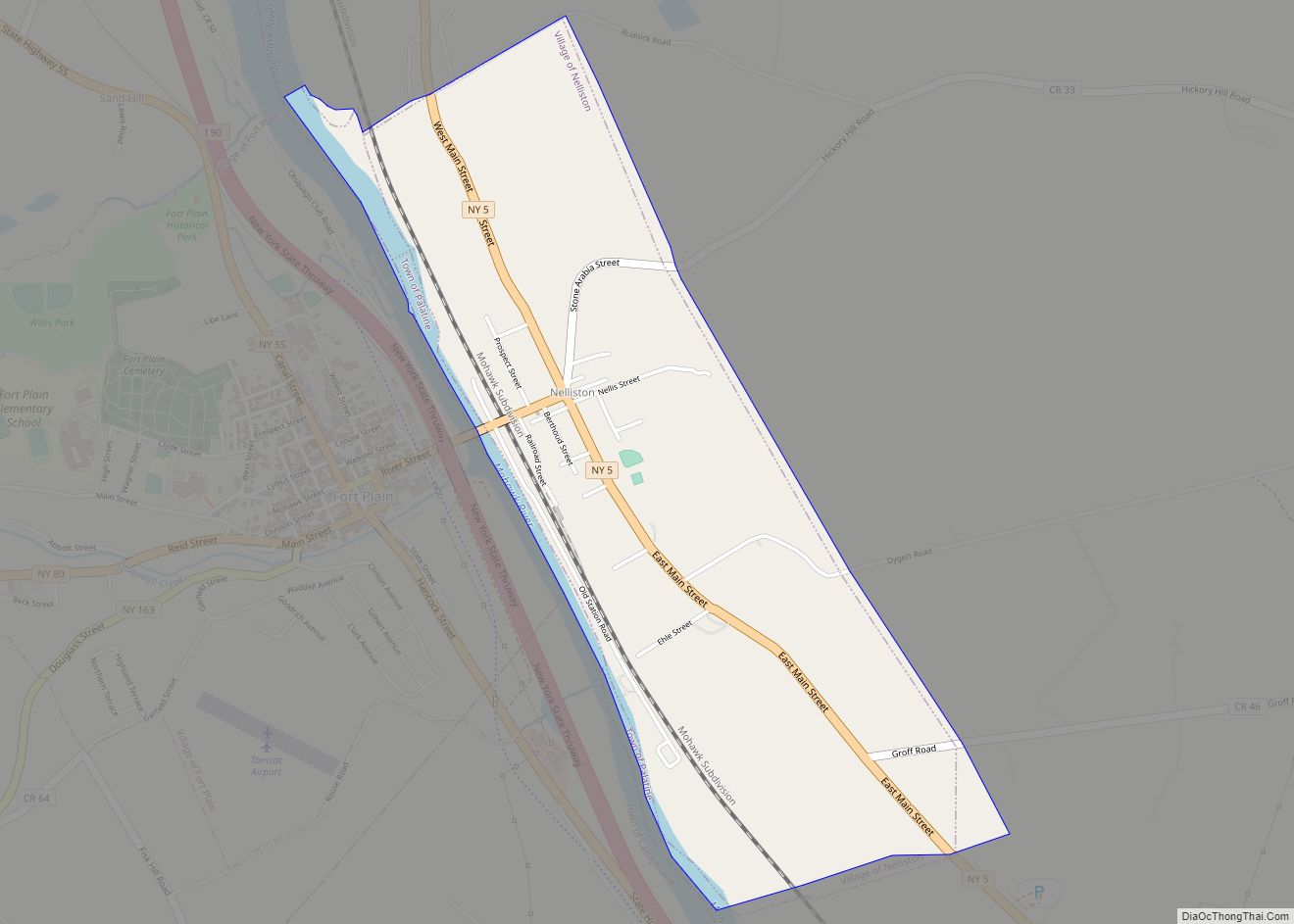
Fultonville Road Map

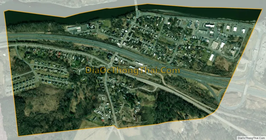
Fultonville city Satellite Map
Geography
Fultonville is located at 42°56′48″N 74°22′10″W / 42.94667°N 74.36944°W / 42.94667; -74.36944 (42.946764, -74.369395).
According to the United States Census Bureau, the village covers a total area of 0.5 square miles (1.3 km), of which 0.5 square miles (1.3 km) is land and 0.04 square miles (0.10 km) is water.
The village is on the south bank of the Mohawk River with the Village of Fonda on the opposite shore, linked by a bridge carrying NY-30A. The Mohawk River is part of the Erie Canal at this location.
The New York State Thruway (Interstate 90) passes through the community. New York State Route 5S (Maple Avenue), parallels the Thruway and intersects New York State Route 30A (Main Street) in Fultonville.
See also
Map of New York State and its subdivision:- Albany
- Allegany
- Bronx
- Broome
- Cattaraugus
- Cayuga
- Chautauqua
- Chemung
- Chenango
- Clinton
- Columbia
- Cortland
- Delaware
- Dutchess
- Erie
- Essex
- Franklin
- Fulton
- Genesee
- Greene
- Hamilton
- Herkimer
- Jefferson
- Kings
- Lake Ontario
- Lewis
- Livingston
- Madison
- Monroe
- Montgomery
- Nassau
- New York
- Niagara
- Oneida
- Onondaga
- Ontario
- Orange
- Orleans
- Oswego
- Otsego
- Putnam
- Queens
- Rensselaer
- Richmond
- Rockland
- Saint Lawrence
- Saratoga
- Schenectady
- Schoharie
- Schuyler
- Seneca
- Steuben
- Suffolk
- Sullivan
- Tioga
- Tompkins
- Ulster
- Warren
- Washington
- Wayne
- Westchester
- Wyoming
- Yates
- Alabama
- Alaska
- Arizona
- Arkansas
- California
- Colorado
- Connecticut
- Delaware
- District of Columbia
- Florida
- Georgia
- Hawaii
- Idaho
- Illinois
- Indiana
- Iowa
- Kansas
- Kentucky
- Louisiana
- Maine
- Maryland
- Massachusetts
- Michigan
- Minnesota
- Mississippi
- Missouri
- Montana
- Nebraska
- Nevada
- New Hampshire
- New Jersey
- New Mexico
- New York
- North Carolina
- North Dakota
- Ohio
- Oklahoma
- Oregon
- Pennsylvania
- Rhode Island
- South Carolina
- South Dakota
- Tennessee
- Texas
- Utah
- Vermont
- Virginia
- Washington
- West Virginia
- Wisconsin
- Wyoming