Chautauqua is a hamlet and census-designated place (CDP) in the town of Chautauqua in Chautauqua County, New York, United States. It corresponds to the area of the Chautauqua Institution, a historic district, adult education center, and summer resort on the southwest shore of Chautauqua Lake in far western New York. The permanent residential population was 191 at the 2010 census.
| Name: | Chautauqua CDP |
|---|---|
| LSAD Code: | 57 |
| LSAD Description: | CDP (suffix) |
| State: | New York |
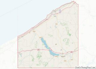
| County: | Chautauqua County |
| Elevation: | 1,350 ft (410 m) |
| Total Area: | 0.43 sq mi (1.11 km²) |
| Land Area: | 0.43 sq mi (1.11 km²) |
| Water Area: | 0.00 sq mi (0.00 km²) |
| Total Population: | 218 |
| Population Density: | 509.35/sq mi (196.49/km²) |
| ZIP code: | 14722 |
| Area code: | 716 |
| FIPS code: | 3614058 |
| GNISfeature ID: | 0946459 |
Online Interactive Map
Click on ![]() to view map in "full screen" mode.
to view map in "full screen" mode.
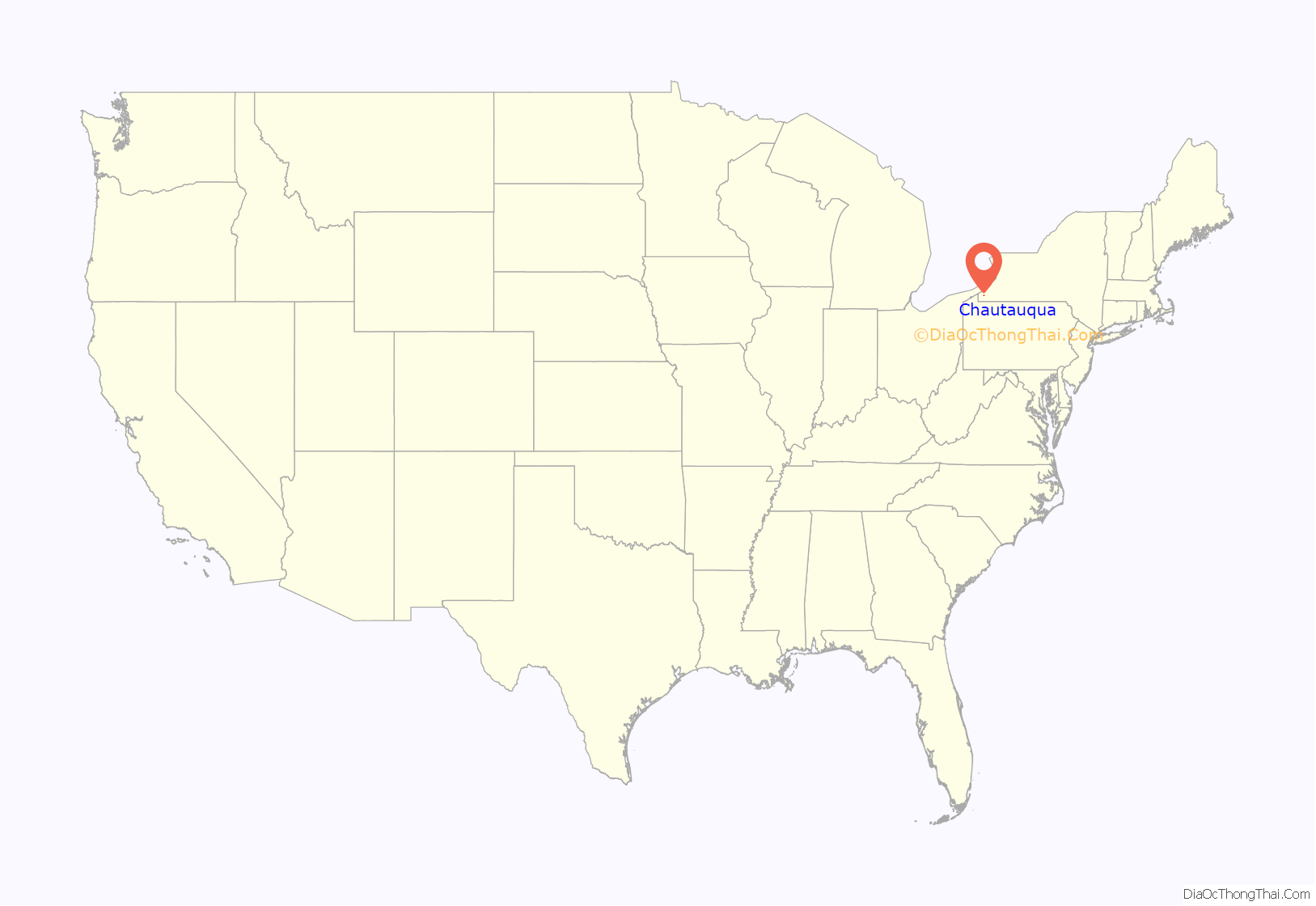
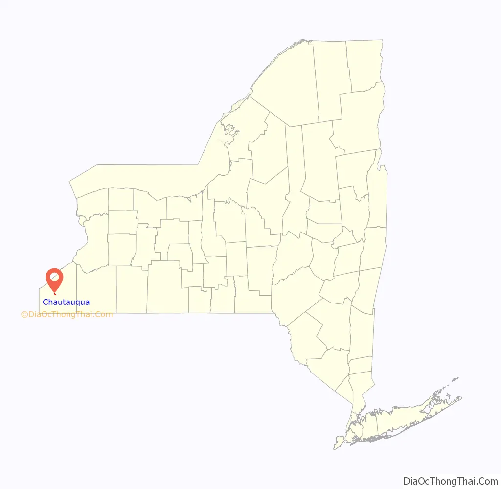
Chautauqua location map. Where is Chautauqua CDP?
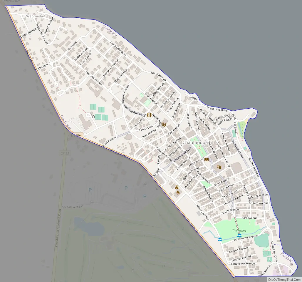
Chautauqua Road Map
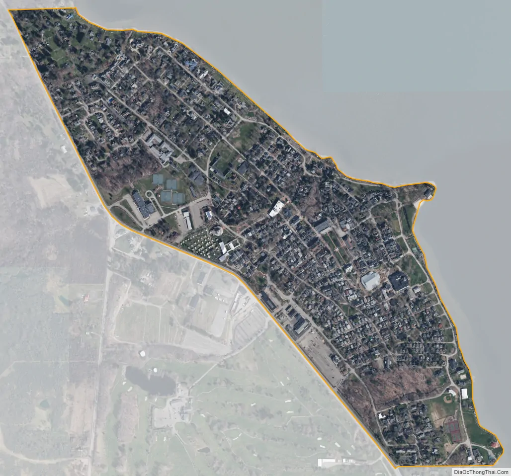
Chautauqua city Satellite Map
Geography
The CDP is bordered on the northeast by Chautauqua Lake and on the southwest by New York State Route 394, West Lake Road. Mayville, the primary settlement in the town of Chautauqua, is 4 miles (6 km) to the northwest, at the north end of the lake. Interstate 86 is 5.5 miles (8.9 km) to the southeast, at its crossing of the lake at Bemus Point.
According to the United States Census Bureau, the Chautauqua CDP has a total area of 0.42 square miles (1.1 km), all land.
See also
Map of New York State and its subdivision:- Albany
- Allegany
- Bronx
- Broome
- Cattaraugus
- Cayuga
- Chautauqua
- Chemung
- Chenango
- Clinton
- Columbia
- Cortland
- Delaware
- Dutchess
- Erie
- Essex
- Franklin
- Fulton
- Genesee
- Greene
- Hamilton
- Herkimer
- Jefferson
- Kings
- Lake Ontario
- Lewis
- Livingston
- Madison
- Monroe
- Montgomery
- Nassau
- New York
- Niagara
- Oneida
- Onondaga
- Ontario
- Orange
- Orleans
- Oswego
- Otsego
- Putnam
- Queens
- Rensselaer
- Richmond
- Rockland
- Saint Lawrence
- Saratoga
- Schenectady
- Schoharie
- Schuyler
- Seneca
- Steuben
- Suffolk
- Sullivan
- Tioga
- Tompkins
- Ulster
- Warren
- Washington
- Wayne
- Westchester
- Wyoming
- Yates
- Alabama
- Alaska
- Arizona
- Arkansas
- California
- Colorado
- Connecticut
- Delaware
- District of Columbia
- Florida
- Georgia
- Hawaii
- Idaho
- Illinois
- Indiana
- Iowa
- Kansas
- Kentucky
- Louisiana
- Maine
- Maryland
- Massachusetts
- Michigan
- Minnesota
- Mississippi
- Missouri
- Montana
- Nebraska
- Nevada
- New Hampshire
- New Jersey
- New Mexico
- New York
- North Carolina
- North Dakota
- Ohio
- Oklahoma
- Oregon
- Pennsylvania
- Rhode Island
- South Carolina
- South Dakota
- Tennessee
- Texas
- Utah
- Vermont
- Virginia
- Washington
- West Virginia
- Wisconsin
- Wyoming