Mayville is a village in Chautauqua County, New York, United States. The population was 1,477 at the 2020 census, 13.7% less than in the 2010 census. Mayville is in the town of Chautauqua and is the county seat of Chautauqua County. The village and town offices share a building on Main Street, directly across from the Chautauqua County courthouse.
| Name: | Mayville village |
|---|---|
| LSAD Code: | 47 |
| LSAD Description: | village (suffix) |
| State: | New York |
| County: | Chautauqua County |
| Elevation: | 1,453 ft (443 m) |
| Total Area: | 2.02 sq mi (5.23 km²) |
| Land Area: | 2.02 sq mi (5.22 km²) |
| Water Area: | 0.00 sq mi (0.01 km²) |
| Total Population: | 1,442 |
| Population Density: | 715.28/sq mi (276.19/km²) |
| ZIP code: | 14757 |
| Area code: | 716 |
| FIPS code: | 3646239 |
| GNISfeature ID: | 0956714 |
| Website: | villageofmayville.com |
Online Interactive Map
Click on ![]() to view map in "full screen" mode.
to view map in "full screen" mode.
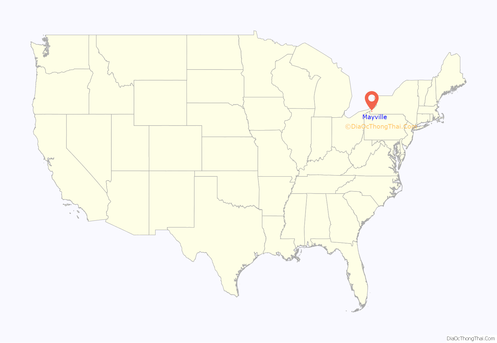
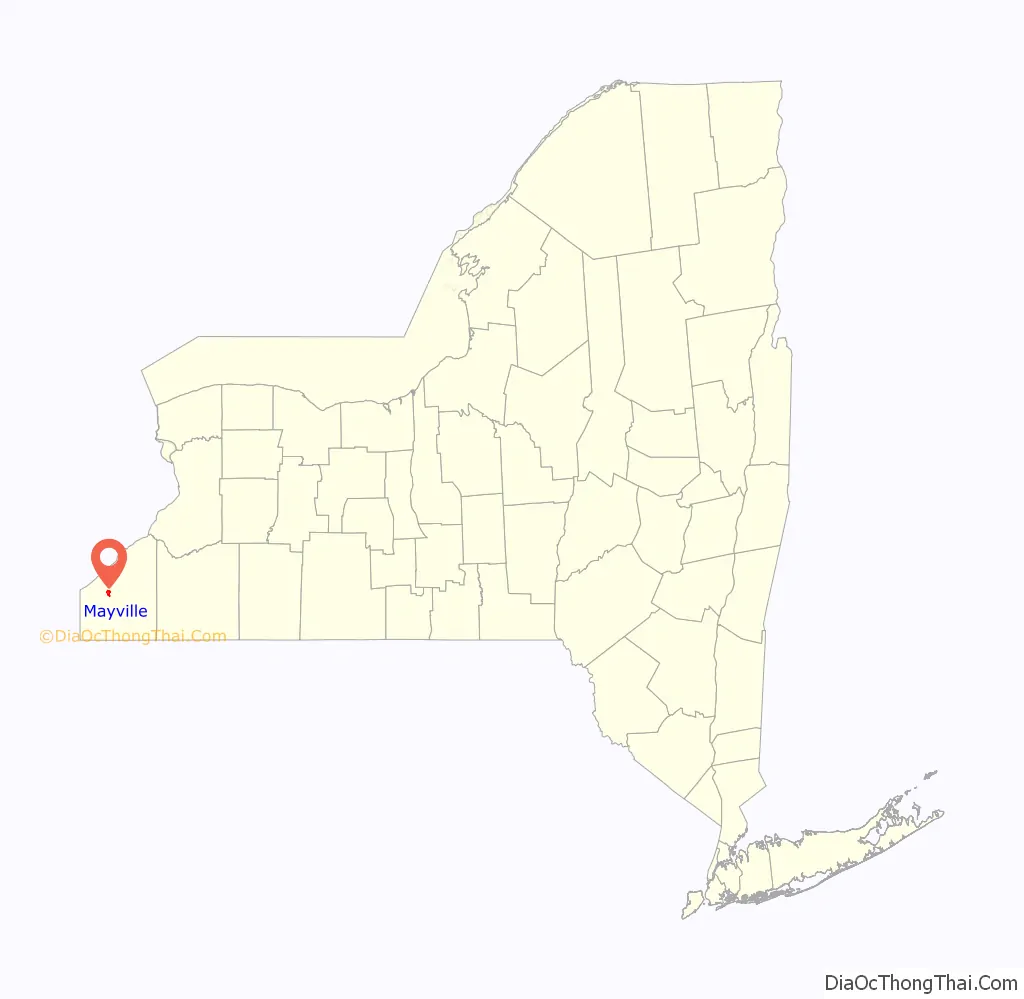
Mayville location map. Where is Mayville village?
History
The Holland Land Company anticipated establishing a village located at the eastern end of the Old Portage Road between Lake Erie and Chautauqua Lake. In 1804, the area was surveyed by William Peacock. In 1805, the village was named Mayville in honor of Elisabeth Busti (née May), wife of Paul Busti, Agent General of the Holland Land Company.
The 1808 legislation establishing the formation of Chautauqua County required the appointment of a committee to locate the county seat. Gov. Daniel D. Tompkins selected Jonas Williams (Batavia), Isaac Sutherland (Batavia) and Asa Ransom (Clarence) based on the recommendations of Joseph Ellicott, Resident Land Agent for the Holland Land Company in Batavia. The committee designated Mayville as the county seat, rubberstamping the Holland Land Company plan.
In 1804, Alexander McIntyre of Meadville, Pennsylvania became the first land owner in the future village. The Holland Land Company established a sales office in Mayville in 1810 with William Peacock as sub-agent.
The village of Mayville was incorporated in 1830. In 1836, local residents rioted against the Holland Land Company and broke into its office, destroying furniture and papers.
The Pennsylvania Railroad built a train station and pier on the shores of Chautauqua Lake at Mayville. This station was on a PRR route from Pittsburgh to Dunkirk to Buffalo route. The Mayville station, along with the Jamestown boat landing at the south end of the lake, was the main mode of transportation to the rest of the communities around Chautauqua Lake via the large fleet of steamboats operating before the interurban lines were constructed. The Chautauqua Traction Company served the communities on the western side of the lake; and the Jamestown, Westfield and Northwestern Railroad was the interurban serving the east side of the lake. In modern times the steamboat Chautauqua Belle still operates out of Mayville, running between Point Chautauqua, Chautauqua Institution, and the vessel’s home port in Mayville.
The Pennsylvania Railroad Station was listed on the National Register of Historic Places in 1993. The Point Chautauqua Historic District was listed in 1996.
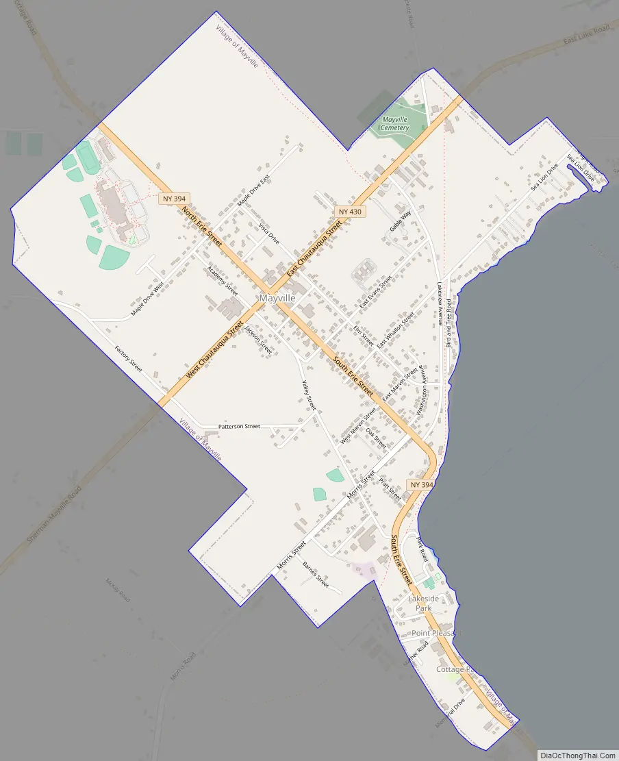
Mayville Road Map
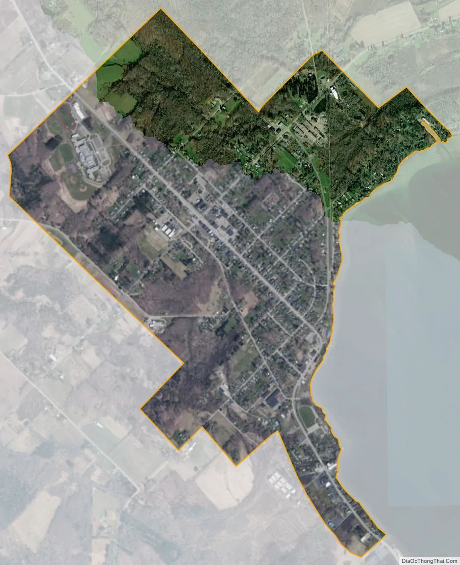
Mayville city Satellite Map
Geography
Mayville is located near the geographic center of the town of Chautauqua at 42°15′5″N 79°30′0″W / 42.25139°N 79.50000°W / 42.25139; -79.50000 (42.251402, -79.500015). It is situated at the northwest end of Chautauqua Lake.
Mayville is at the junction of New York State Routes 394 and 430, 7 miles (11 km) south of the New York State Thruway (Interstate 90) at Westfield.
Mayville is the nearest village to the Chautauqua Institution, which draws thousands of visitors during the summer months. Businesses in the village do a brisk tourist business both with Chautauquans and with visitors to cottages and resorts on the east and west sides of the lake.
According to the United States Census Bureau, the village has a total area of 1.99 square miles (5.16 km), all land.
Climate
Mayville has a humid continental climate (Köppen Dfb), typical of southwestern New York state. Winters are cold and snowy, while summers are warm and humid.
See also
Map of New York State and its subdivision:- Albany
- Allegany
- Bronx
- Broome
- Cattaraugus
- Cayuga
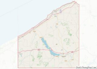
- Chautauqua
- Chemung
- Chenango
- Clinton
- Columbia
- Cortland
- Delaware
- Dutchess
- Erie
- Essex
- Franklin
- Fulton
- Genesee
- Greene
- Hamilton
- Herkimer
- Jefferson
- Kings
- Lake Ontario
- Lewis
- Livingston
- Madison
- Monroe
- Montgomery
- Nassau
- New York
- Niagara
- Oneida
- Onondaga
- Ontario
- Orange
- Orleans
- Oswego
- Otsego
- Putnam
- Queens
- Rensselaer
- Richmond
- Rockland
- Saint Lawrence
- Saratoga
- Schenectady
- Schoharie
- Schuyler
- Seneca
- Steuben
- Suffolk
- Sullivan
- Tioga
- Tompkins
- Ulster
- Warren
- Washington
- Wayne
- Westchester
- Wyoming
- Yates
- Alabama
- Alaska
- Arizona
- Arkansas
- California
- Colorado
- Connecticut
- Delaware
- District of Columbia
- Florida
- Georgia
- Hawaii
- Idaho
- Illinois
- Indiana
- Iowa
- Kansas
- Kentucky
- Louisiana
- Maine
- Maryland
- Massachusetts
- Michigan
- Minnesota
- Mississippi
- Missouri
- Montana
- Nebraska
- Nevada
- New Hampshire
- New Jersey
- New Mexico
- New York
- North Carolina
- North Dakota
- Ohio
- Oklahoma
- Oregon
- Pennsylvania
- Rhode Island
- South Carolina
- South Dakota
- Tennessee
- Texas
- Utah
- Vermont
- Virginia
- Washington
- West Virginia
- Wisconsin
- Wyoming