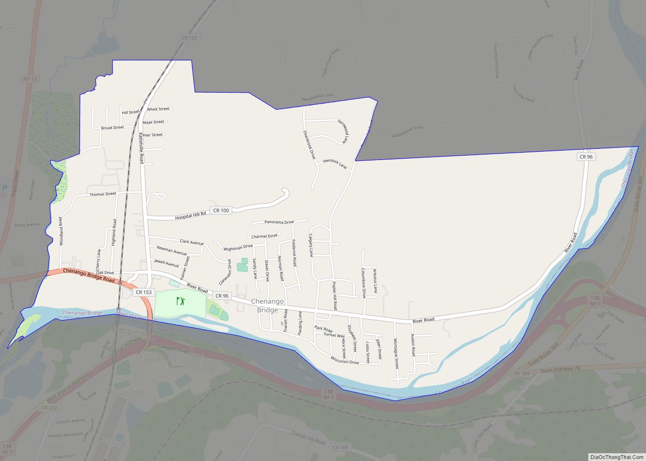
Chenango Bridge is a hamlet in the southern part of the Town of Chenango in Broome County, New York, United States. It lies where State Route 12A (Chenango Bridge Road) crosses the Chenango River. The population was 2,883 at the 2010 census, which lists the community as a census-designated place.
| Name: | Chenango Bridge CDP |
|---|---|
| LSAD Code: | 57 |
| LSAD Description: | CDP (suffix) |
| State: | New York |
| County: | Broome County |
| Elevation: | 896 ft (273 m) |
| Total Area: | 2.59 sq mi (6.71 km²) |
| Land Area: | 2.45 sq mi (6.34 km²) |
| Water Area: | 0.14 sq mi (0.37 km²) |
| Total Population: | 2,884 |
| Population Density: | 1,177.62/sq mi (454.68/km²) |
| ZIP code: | 13745 |
| Area code: | 607 |
| FIPS code: | 3615121 |
| GNISfeature ID: | 946480 |
Online Interactive Map
Click on ![]() to view map in "full screen" mode.
to view map in "full screen" mode.
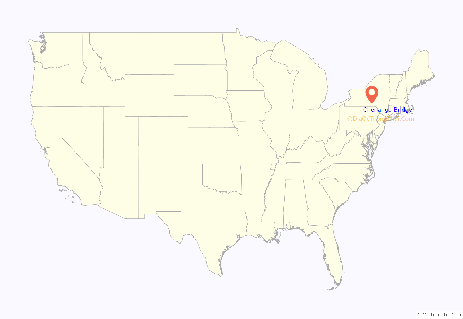
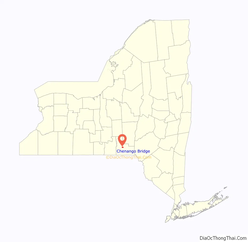
Chenango Bridge location map. Where is Chenango Bridge CDP?
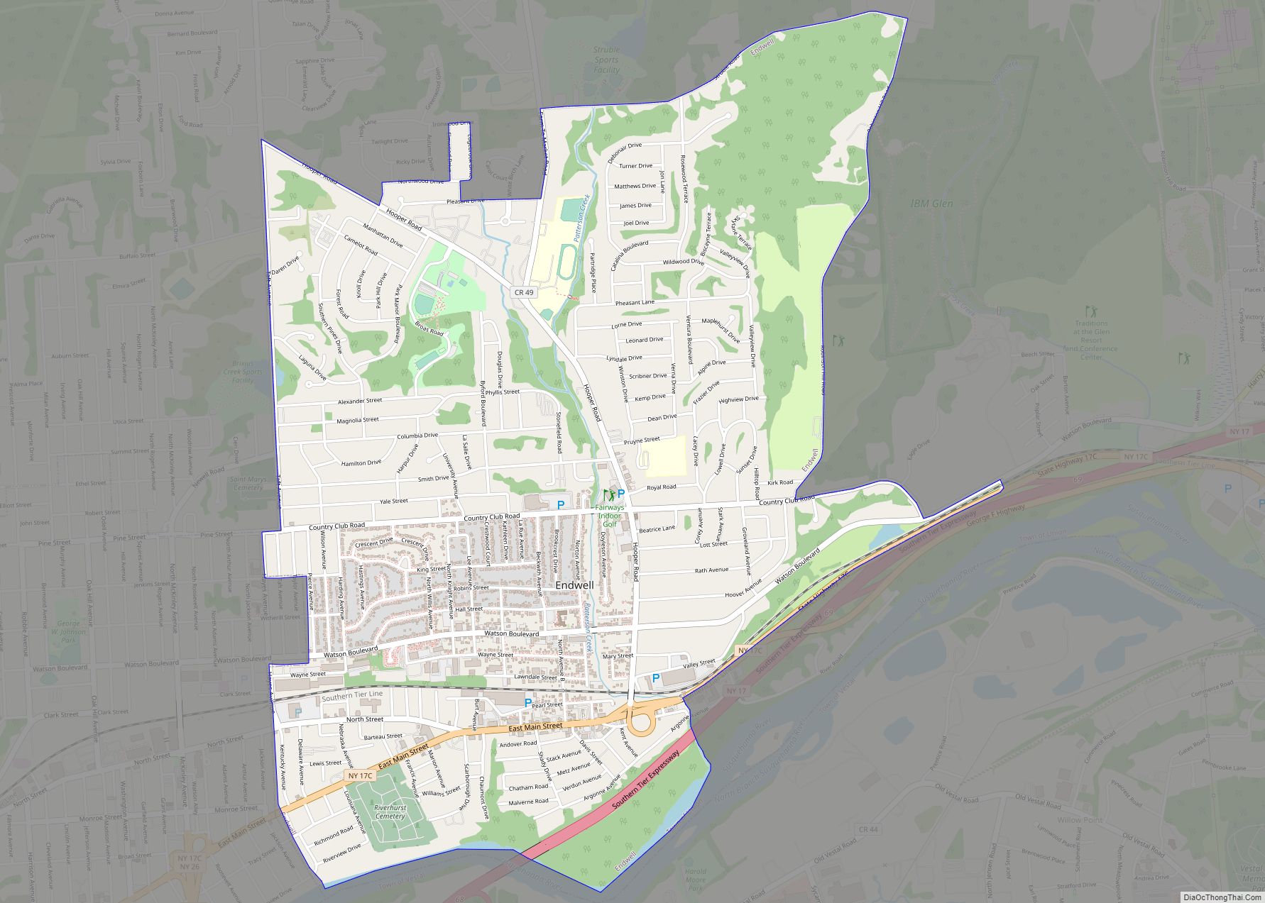
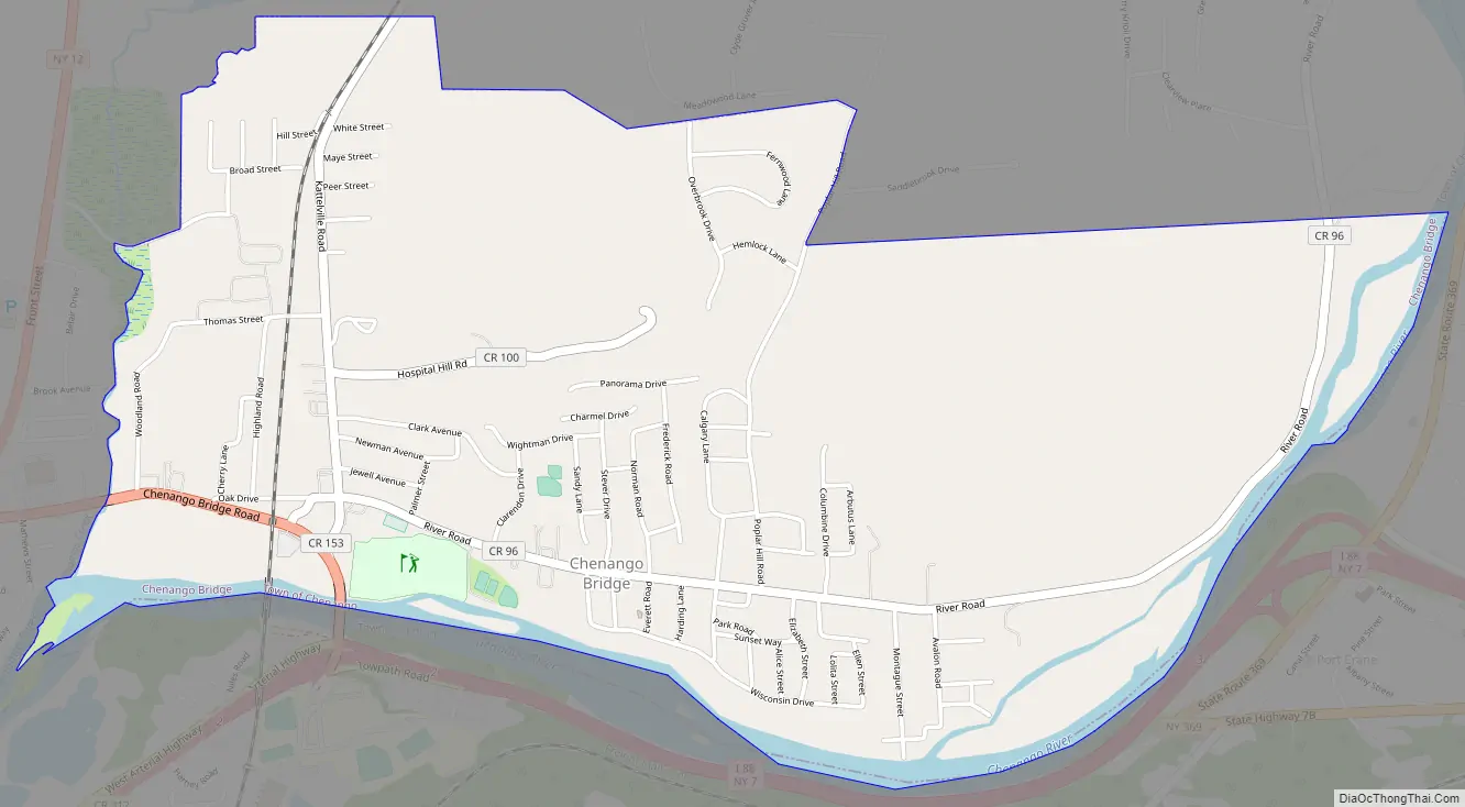
Chenango Bridge Road Map
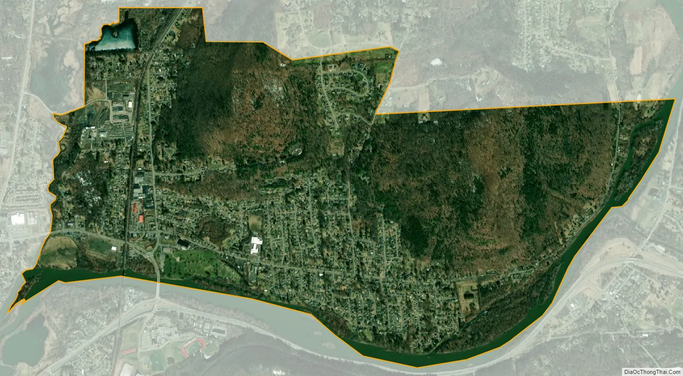
Chenango Bridge city Satellite Map
Geography
Chenango Bridge is located at 42°10′00″N 075°51′45″W / 42.16667°N 75.86250°W / 42.16667; -75.86250 (42.1667426, -75.8624167) and its elevation is 896 feet (273 m).
According to the 2010 United States Census, Chenango Bridge has a total area of 2.592 square miles (6.71 km), of which 2.448 square miles (6.34 km) is land and 0.144 square miles (0.37 km) is water.
See also
Map of New York State and its subdivision:- Albany
- Allegany
- Bronx
- Broome
- Cattaraugus
- Cayuga
- Chautauqua
- Chemung
- Chenango
- Clinton
- Columbia
- Cortland
- Delaware
- Dutchess
- Erie
- Essex
- Franklin
- Fulton
- Genesee
- Greene
- Hamilton
- Herkimer
- Jefferson
- Kings
- Lake Ontario
- Lewis
- Livingston
- Madison
- Monroe
- Montgomery
- Nassau
- New York
- Niagara
- Oneida
- Onondaga
- Ontario
- Orange
- Orleans
- Oswego
- Otsego
- Putnam
- Queens
- Rensselaer
- Richmond
- Rockland
- Saint Lawrence
- Saratoga
- Schenectady
- Schoharie
- Schuyler
- Seneca
- Steuben
- Suffolk
- Sullivan
- Tioga
- Tompkins
- Ulster
- Warren
- Washington
- Wayne
- Westchester
- Wyoming
- Yates
- Alabama
- Alaska
- Arizona
- Arkansas
- California
- Colorado
- Connecticut
- Delaware
- District of Columbia
- Florida
- Georgia
- Hawaii
- Idaho
- Illinois
- Indiana
- Iowa
- Kansas
- Kentucky
- Louisiana
- Maine
- Maryland
- Massachusetts
- Michigan
- Minnesota
- Mississippi
- Missouri
- Montana
- Nebraska
- Nevada
- New Hampshire
- New Jersey
- New Mexico
- New York
- North Carolina
- North Dakota
- Ohio
- Oklahoma
- Oregon
- Pennsylvania
- Rhode Island
- South Carolina
- South Dakota
- Tennessee
- Texas
- Utah
- Vermont
- Virginia
- Washington
- West Virginia
- Wisconsin
- Wyoming