Cobleskill is a village in the western part of the town of Cobleskill in Schoharie County, New York, United States. The population was 4,678 at the 2010 census.
The village is southwest of Amsterdam. The State University of New York at Cobleskill is located at the western side of the village.
| Name: | Cobleskill village |
|---|---|
| LSAD Code: | 47 |
| LSAD Description: | village (suffix) |
| State: | New York |
| County: | Schoharie County |
| Incorporated: | 1868 |
| Elevation: | 922 ft (281 m) |
| Total Area: | 3.57 sq mi (9.24 km²) |
| Land Area: | 3.56 sq mi (9.23 km²) |
| Water Area: | 0.00 sq mi (0.01 km²) |
| Total Population: | 4,173 |
| Population Density: | 1,170.55/sq mi (451.98/km²) |
| ZIP code: | 12043 |
| Area code: | 518 |
| FIPS code: | 3616628 |
| GNISfeature ID: | 0946981 |
Online Interactive Map
Click on ![]() to view map in "full screen" mode.
to view map in "full screen" mode.
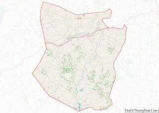
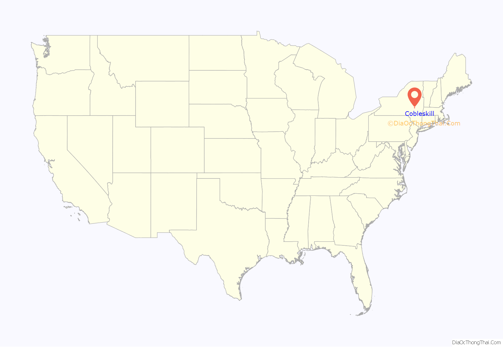
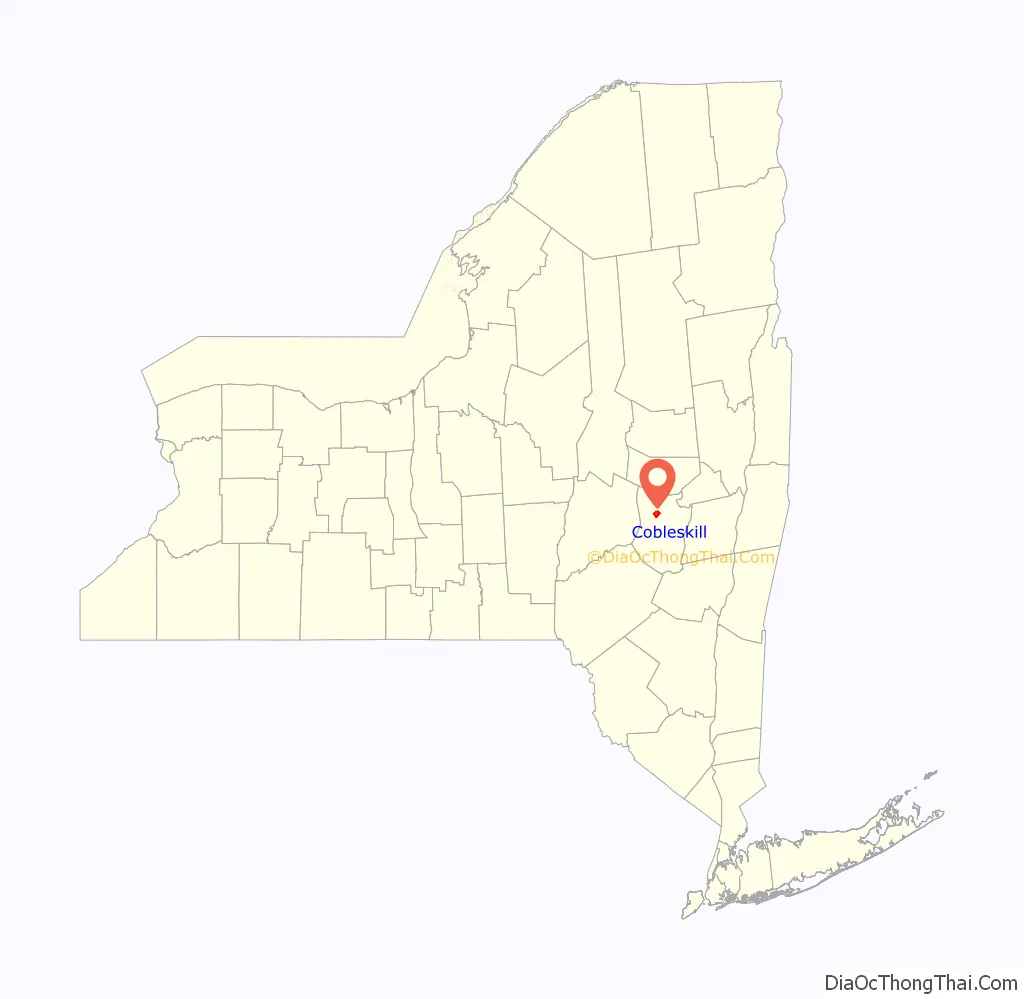
Cobleskill location map. Where is Cobleskill village?
History
The village was settled in 1752, and was incorporated in 1868.
It is generally accepted that a German grist miller named Jacob Kobel (variated as Kobus, or Coble) built a mill on the Cobleskill Creek. The Dutch word for river or creek is kill, thus the name Cobleskill, for “Cobel’s creek”.
The Schoharie County Sunshine Fair, formerly known as the Cobleskill Sunshine Fair, has been held annually in Cobleskill since 1876. An agricultural fair, it draws tens of thousands of people to attractions such as livestock shows, demolition derbies and tractor pulls.
The Cobleskill Historic District was listed on the National Register of Historic Places in 1978.
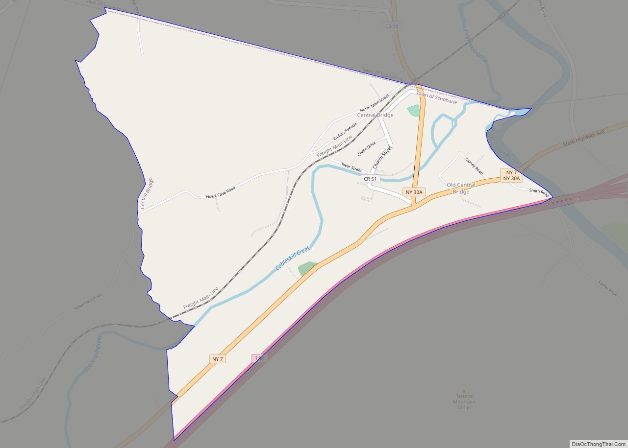
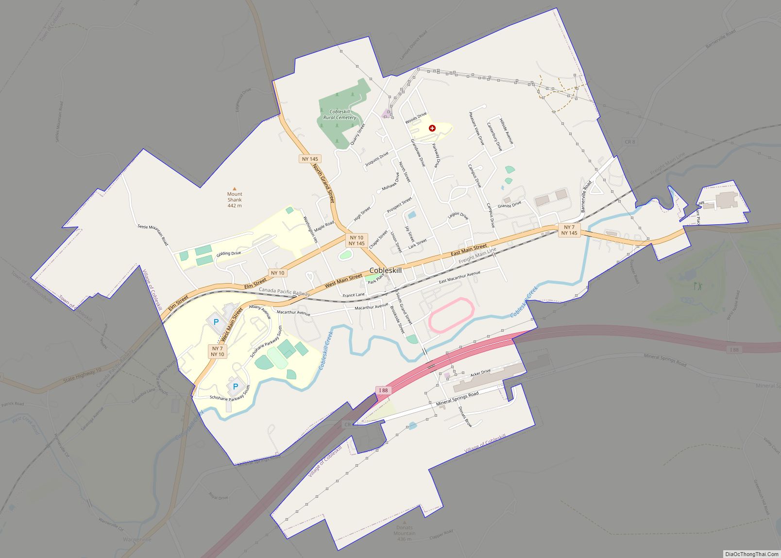
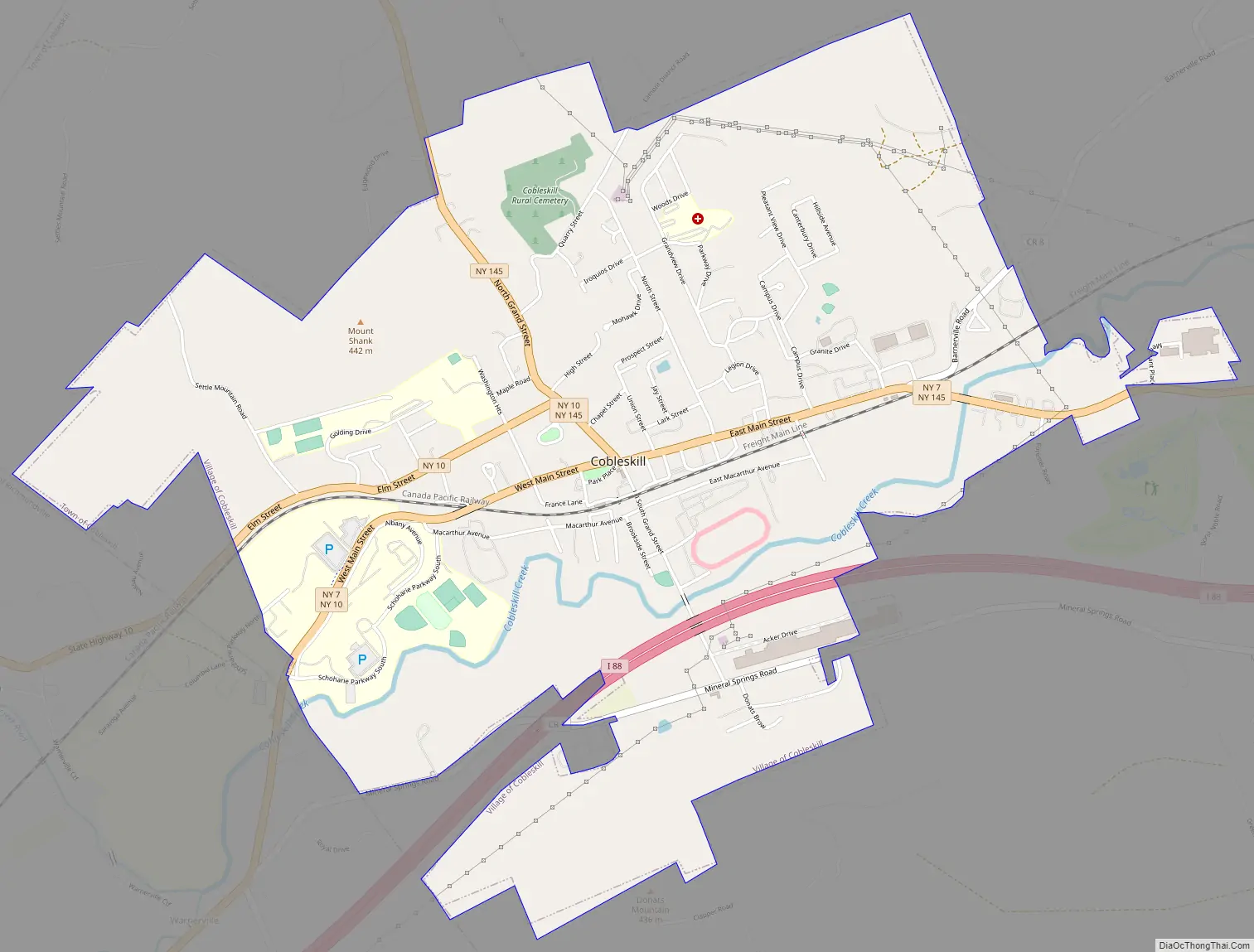
Cobleskill Road Map
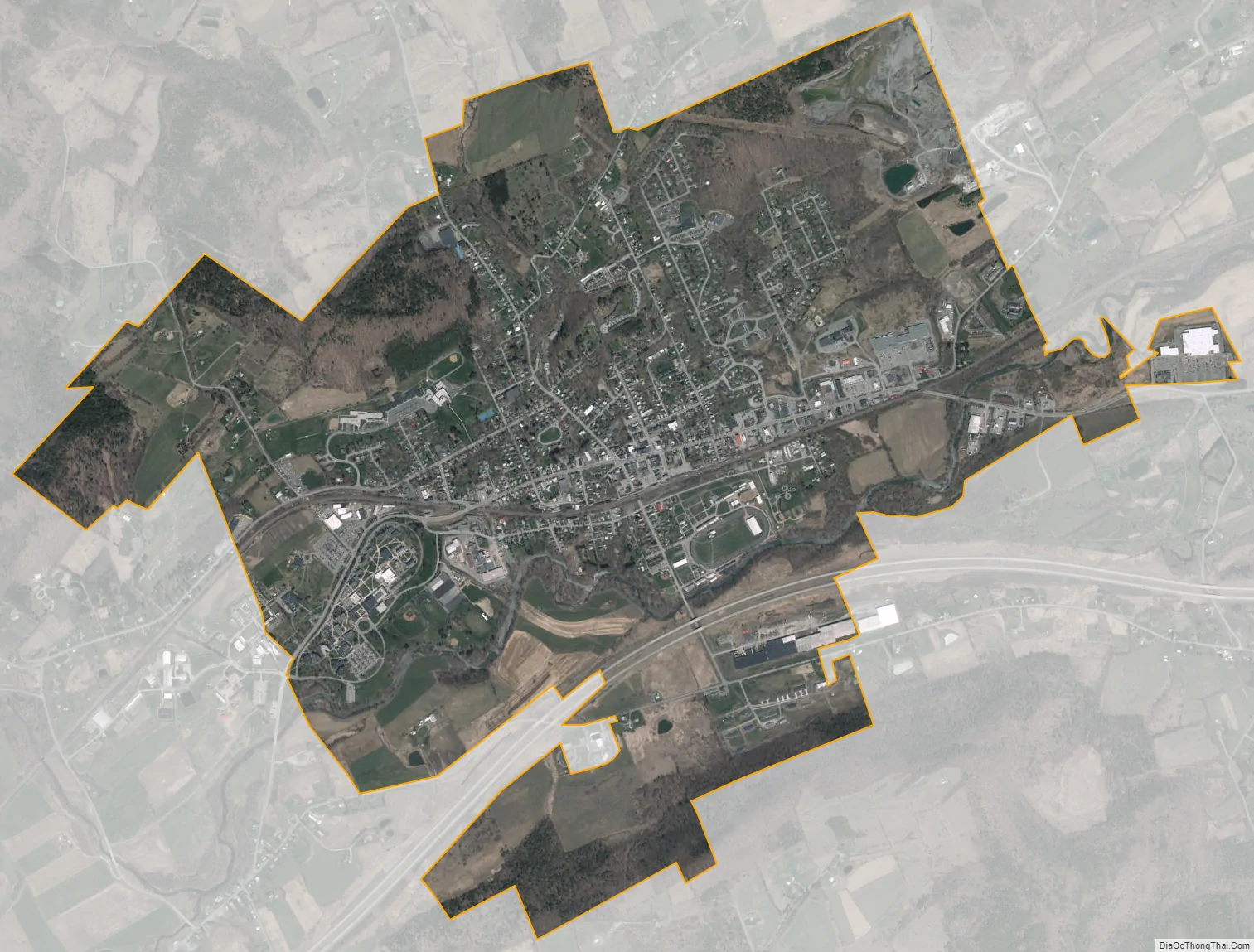
Cobleskill city Satellite Map
Geography
According to the United States Census Bureau, the village has a total area of 3.3 square miles (8.5 km), all land.
A USGS Benchmark on the side of southeastern corner of the William H. Golding 6-8 Middle School is marked at 1028 feet above sea level. The valley Cobleskill is situated in, is on the boundary of the geologic regions of New York known as the Catskill plateau to the south, and the Escarpment region of the Mohawk Valley to the North.
Cobleskill is north of the Cobleskill Creek.
New York State Route 10 and New York State Route 7 intersect New York State Route 145 in the village. Interstate 88 passes south of the village.
See also
Map of New York State and its subdivision:- Albany
- Allegany
- Bronx
- Broome
- Cattaraugus
- Cayuga
- Chautauqua
- Chemung
- Chenango
- Clinton
- Columbia
- Cortland
- Delaware
- Dutchess
- Erie
- Essex
- Franklin
- Fulton
- Genesee
- Greene
- Hamilton
- Herkimer
- Jefferson
- Kings
- Lake Ontario
- Lewis
- Livingston
- Madison
- Monroe
- Montgomery
- Nassau
- New York
- Niagara
- Oneida
- Onondaga
- Ontario
- Orange
- Orleans
- Oswego
- Otsego
- Putnam
- Queens
- Rensselaer
- Richmond
- Rockland
- Saint Lawrence
- Saratoga
- Schenectady
- Schoharie
- Schuyler
- Seneca
- Steuben
- Suffolk
- Sullivan
- Tioga
- Tompkins
- Ulster
- Warren
- Washington
- Wayne
- Westchester
- Wyoming
- Yates
- Alabama
- Alaska
- Arizona
- Arkansas
- California
- Colorado
- Connecticut
- Delaware
- District of Columbia
- Florida
- Georgia
- Hawaii
- Idaho
- Illinois
- Indiana
- Iowa
- Kansas
- Kentucky
- Louisiana
- Maine
- Maryland
- Massachusetts
- Michigan
- Minnesota
- Mississippi
- Missouri
- Montana
- Nebraska
- Nevada
- New Hampshire
- New Jersey
- New Mexico
- New York
- North Carolina
- North Dakota
- Ohio
- Oklahoma
- Oregon
- Pennsylvania
- Rhode Island
- South Carolina
- South Dakota
- Tennessee
- Texas
- Utah
- Vermont
- Virginia
- Washington
- West Virginia
- Wisconsin
- Wyoming