Colonie is a village in Albany County, New York, United States. The population was 7,793 at the 2010 census.
The village of Colonie is within the town of Colonie. Both are north of the city of Albany, the capital of New York.
| Name: | Colonie village |
|---|---|
| LSAD Code: | 47 |
| LSAD Description: | village (suffix) |
| State: | New York |
| County: | Albany County |
| Elevation: | 312 ft (95 m) |
| Total Area: | 3.25 sq mi (8.40 km²) |
| Land Area: | 3.24 sq mi (8.40 km²) |
| Water Area: | 0.00 sq mi (0.01 km²) |
| Total Population: | 7,781 |
| Population Density: | 2,400.06/sq mi (926.79/km²) |
| ZIP code: | 12205 |
| Area code: | 518 |
| FIPS code: | 3617332 |
| GNISfeature ID: | 0947179 |
| Website: | http://www.colonievillage.org |
Online Interactive Map
Click on ![]() to view map in "full screen" mode.
to view map in "full screen" mode.
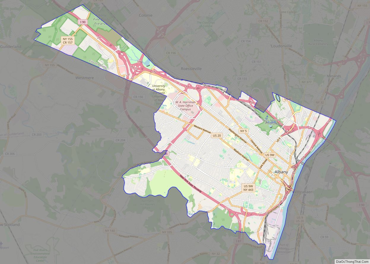
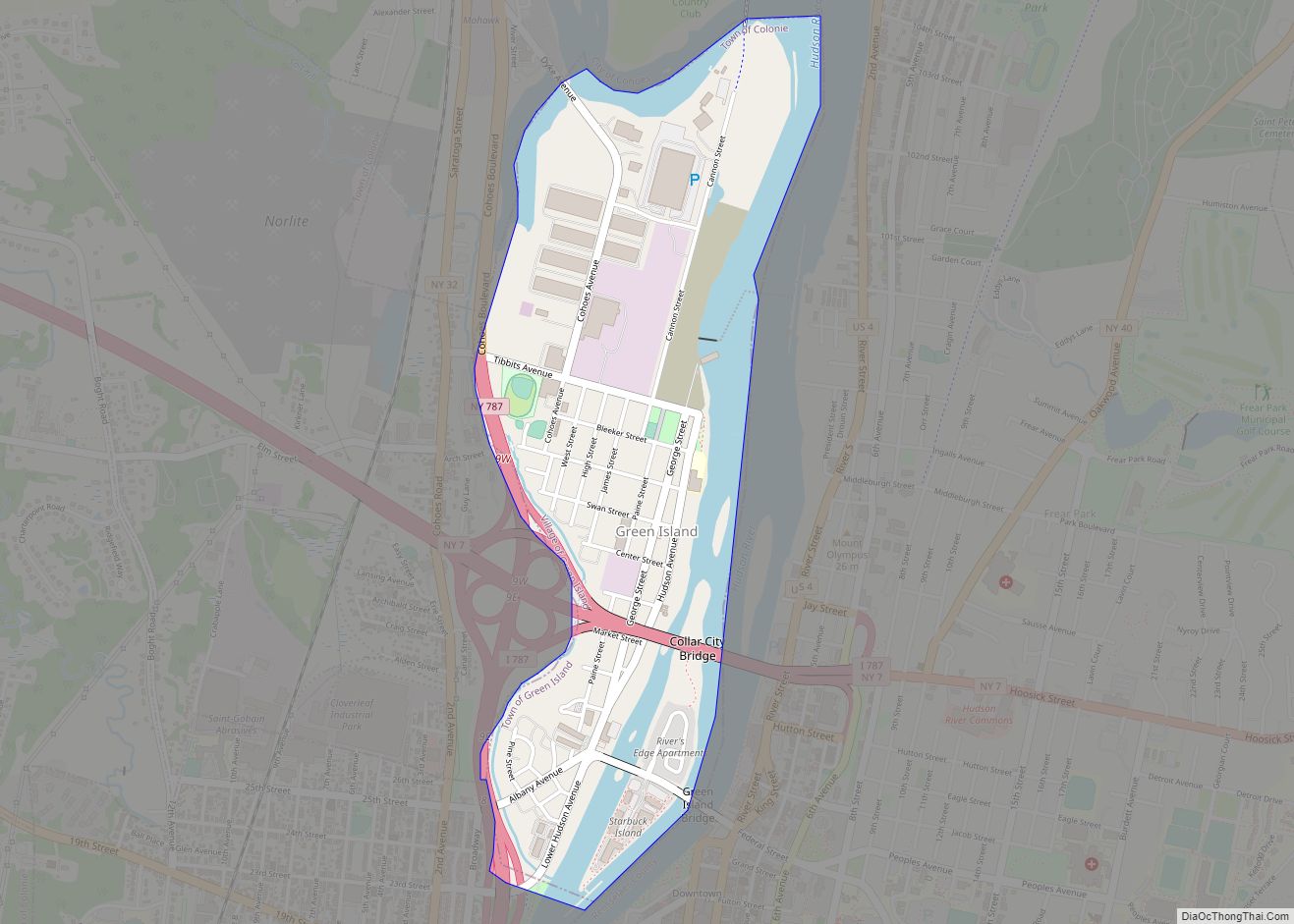
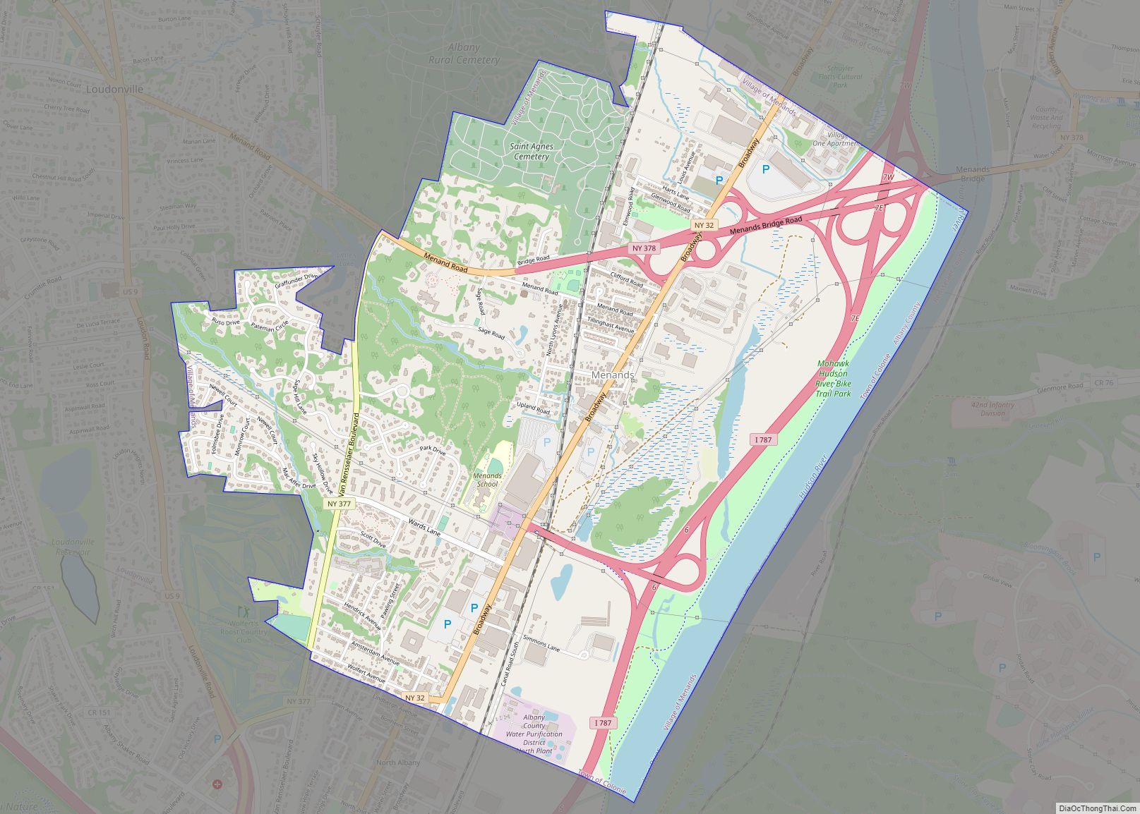
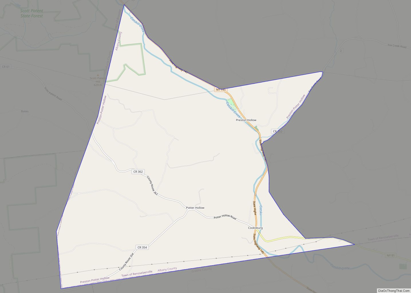
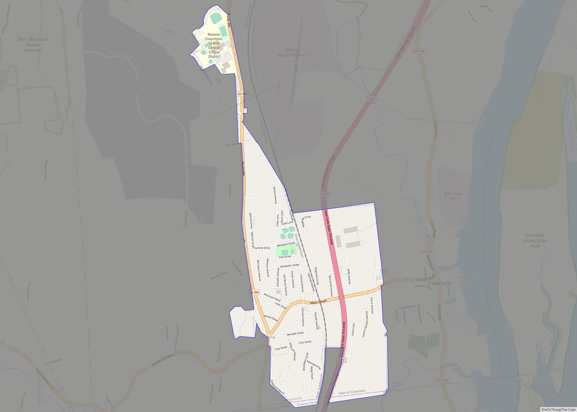
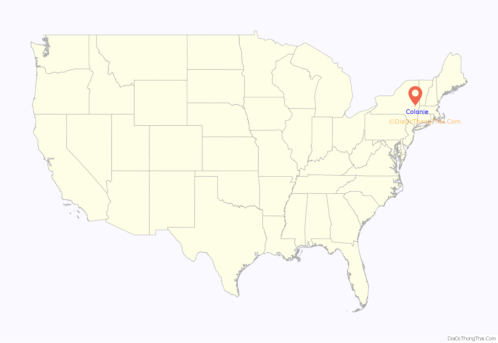
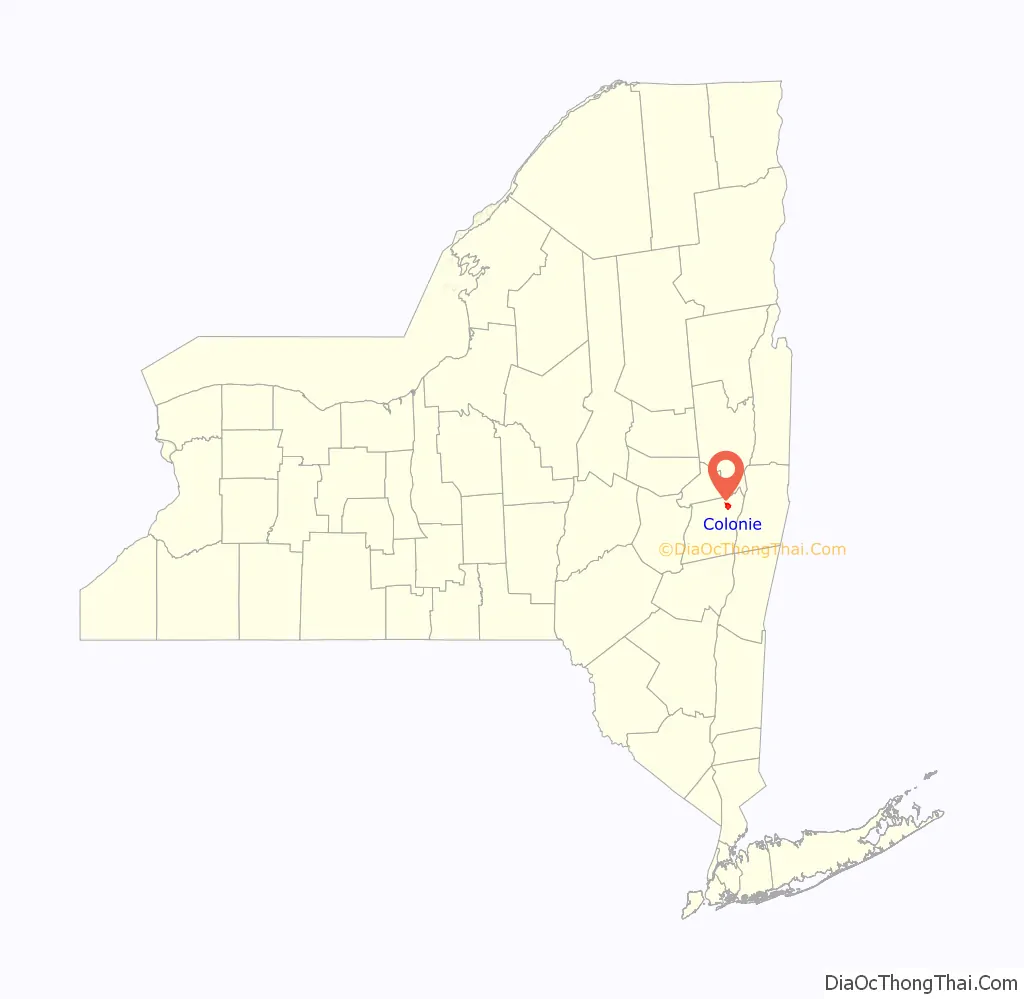
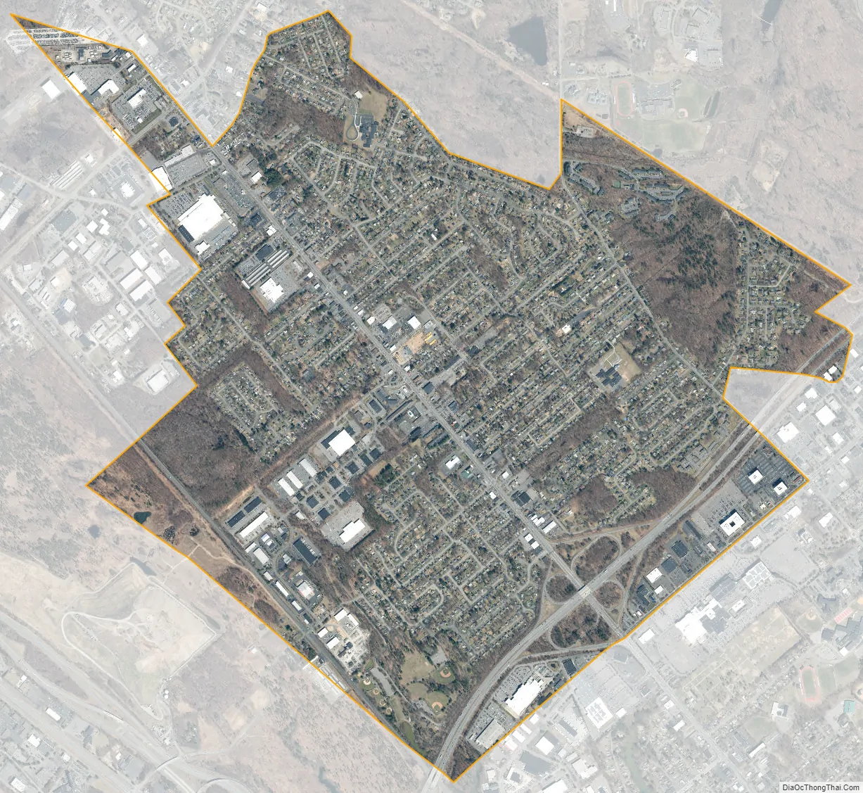
Colonie location map. Where is Colonie village?
History
The village of Colonie was incorporated on March 2, 1921, and was barely developed beyond anything more than buildings along the Albany-Schenectady Road (NY Route 5).
The village fire department was established in 1931.
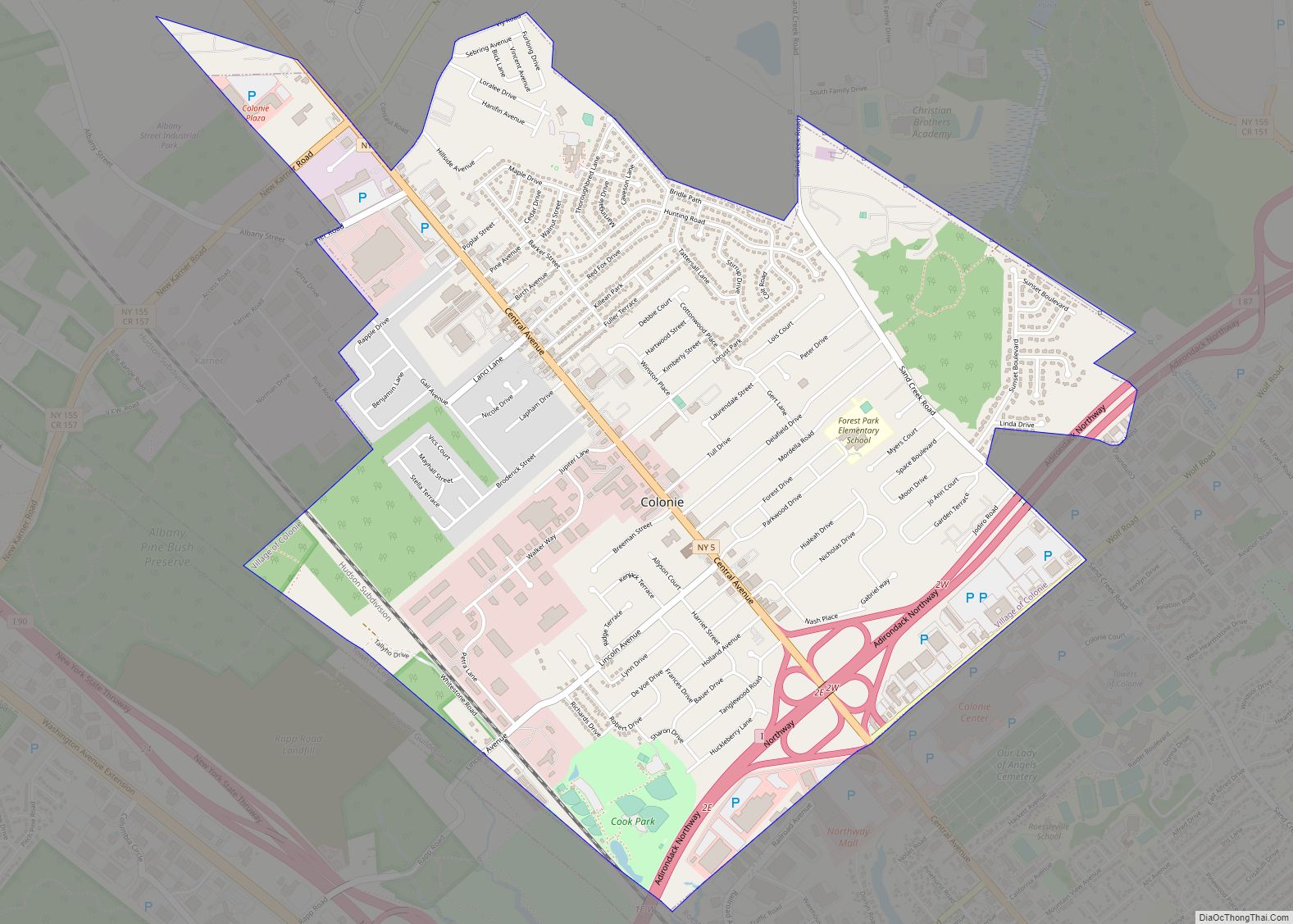
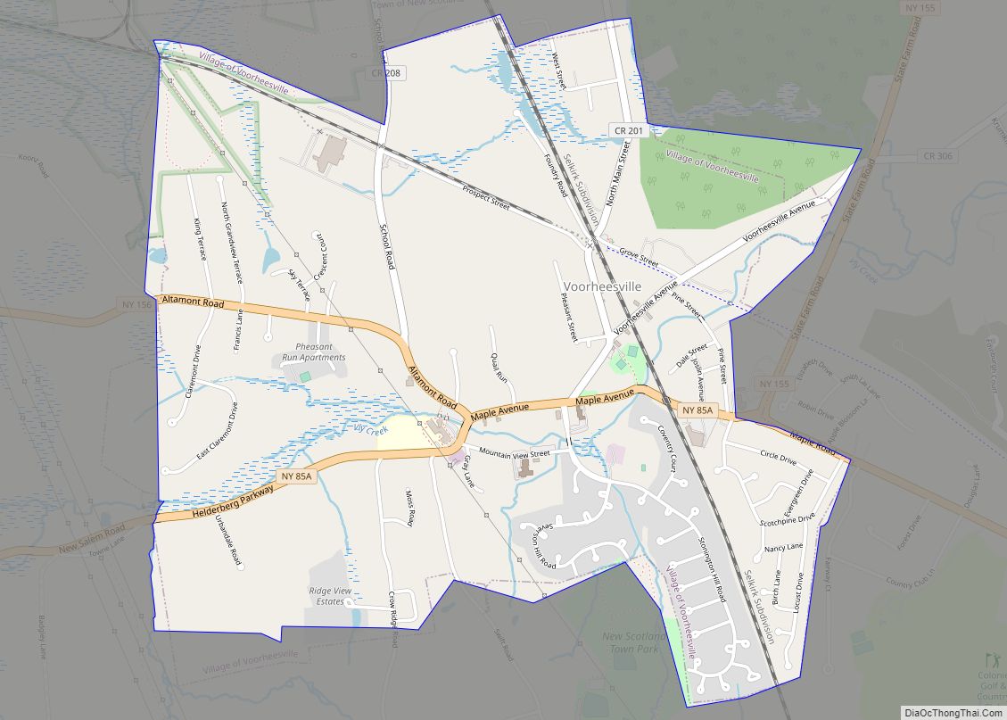
Colonie Road Map
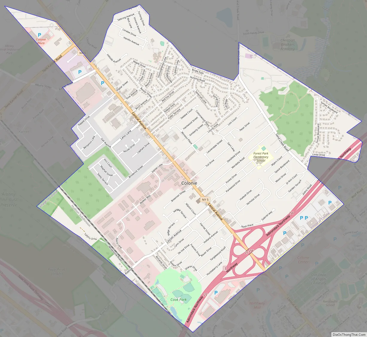
Colonie city Satellite Map
Geography
According to the United States Census Bureau, the village has a total area of 3.3 square miles (8.6 km)of which 3.3 square miles (8.5 km) is land and 0.30% is water.
Location
See also
Map of New York State and its subdivision:- Albany
- Allegany
- Bronx
- Broome
- Cattaraugus
- Cayuga
- Chautauqua
- Chemung
- Chenango
- Clinton
- Columbia
- Cortland
- Delaware
- Dutchess
- Erie
- Essex
- Franklin
- Fulton
- Genesee
- Greene
- Hamilton
- Herkimer
- Jefferson
- Kings
- Lake Ontario
- Lewis
- Livingston
- Madison
- Monroe
- Montgomery
- Nassau
- New York
- Niagara
- Oneida
- Onondaga
- Ontario
- Orange
- Orleans
- Oswego
- Otsego
- Putnam
- Queens
- Rensselaer
- Richmond
- Rockland
- Saint Lawrence
- Saratoga
- Schenectady
- Schoharie
- Schuyler
- Seneca
- Steuben
- Suffolk
- Sullivan
- Tioga
- Tompkins
- Ulster
- Warren
- Washington
- Wayne
- Westchester
- Wyoming
- Yates
- Alabama
- Alaska
- Arizona
- Arkansas
- California
- Colorado
- Connecticut
- Delaware
- District of Columbia
- Florida
- Georgia
- Hawaii
- Idaho
- Illinois
- Indiana
- Iowa
- Kansas
- Kentucky
- Louisiana
- Maine
- Maryland
- Massachusetts
- Michigan
- Minnesota
- Mississippi
- Missouri
- Montana
- Nebraska
- Nevada
- New Hampshire
- New Jersey
- New Mexico
- New York
- North Carolina
- North Dakota
- Ohio
- Oklahoma
- Oregon
- Pennsylvania
- Rhode Island
- South Carolina
- South Dakota
- Tennessee
- Texas
- Utah
- Vermont
- Virginia
- Washington
- West Virginia
- Wisconsin
- Wyoming