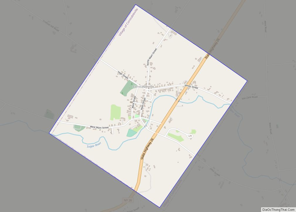
Constableville is a village in Lewis County, New York, United States. The population was 242 at the 2010 census. The village is named after William Constable, the son of an early landowner.
The village is within the town of West Turin and is north of Rome.
| Name: | Constableville village |
|---|---|
| LSAD Code: | 47 |
| LSAD Description: | village (suffix) |
| State: | New York |
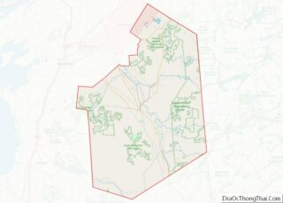
| County: | Lewis County |
| Elevation: | 1,263 ft (385 m) |
| Total Area: | 1.12 sq mi (2.90 km²) |
| Land Area: | 1.12 sq mi (2.90 km²) |
| Water Area: | 0.00 sq mi (0.00 km²) |
| Total Population: | 293 |
| Population Density: | 262.08/sq mi (101.16/km²) |
| ZIP code: | 13325 |
| Area code: | 315 |
| FIPS code: | 3617882 |
| GNISfeature ID: | 947326 |
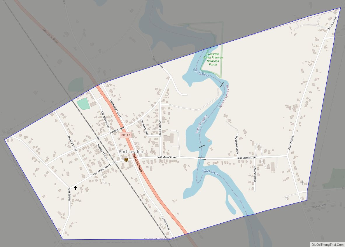
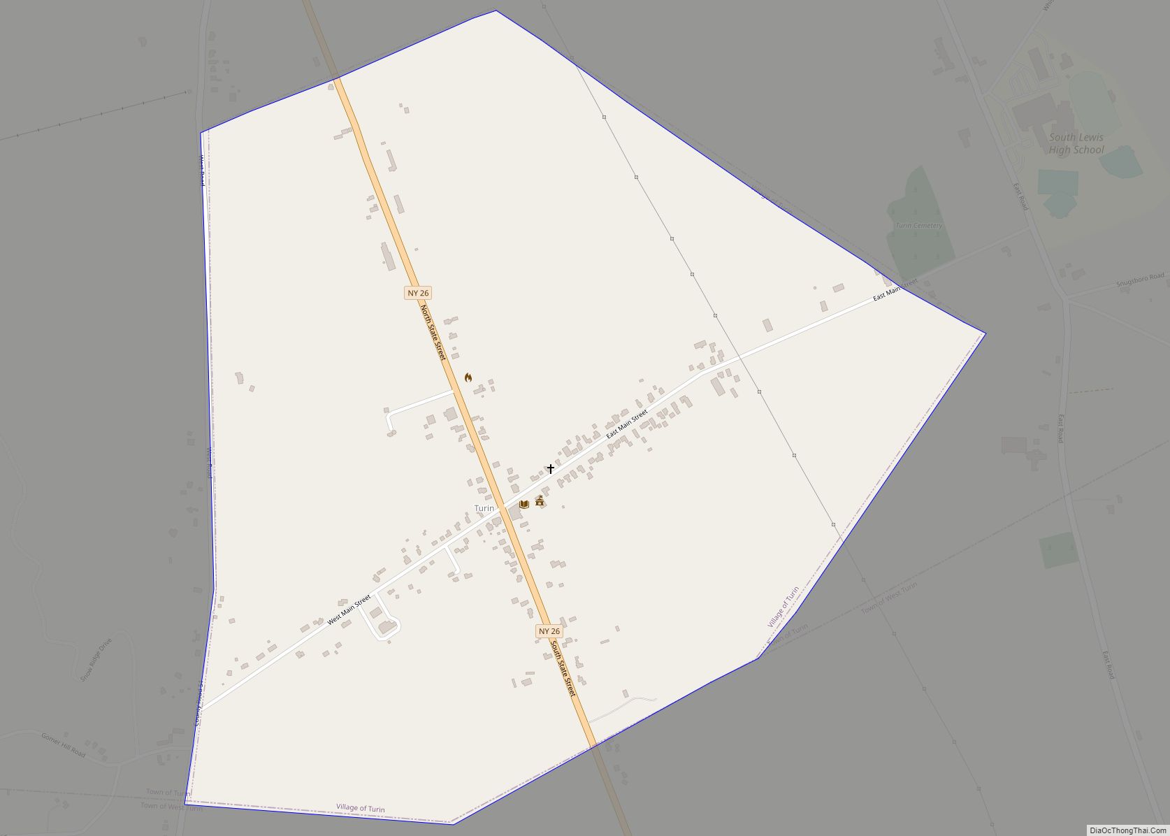
Online Interactive Map
Click on ![]() to view map in "full screen" mode.
to view map in "full screen" mode.
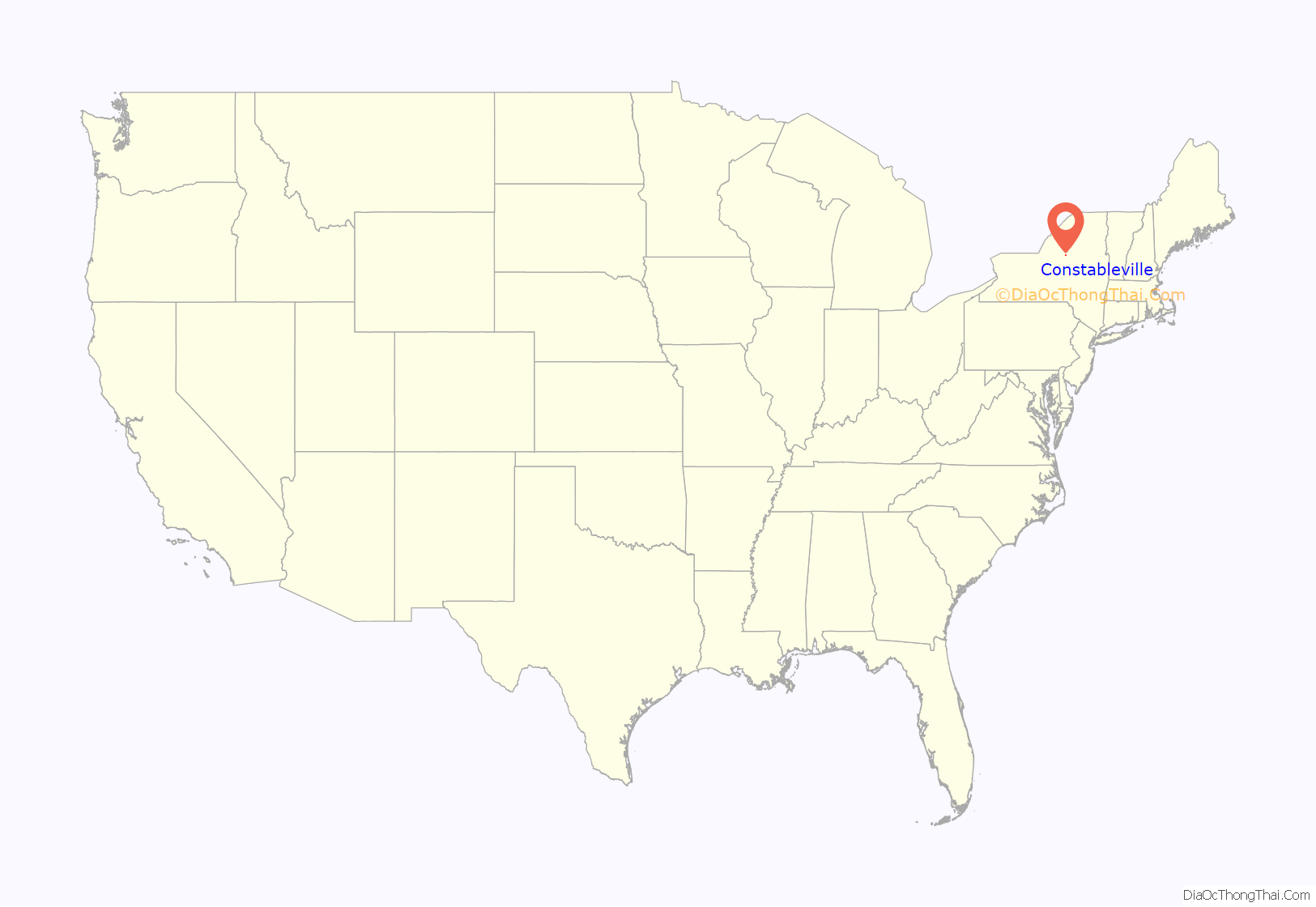
Constableville location map. Where is Constableville village?
History
The village is the site of the first settlement in the town of West Turin, taking place circa 1796.
The Constableville Village Historic District, Jonathan C. Collins House and Cemetery, and Constable Hall are listed on the National Register of Historic Places. Constable Hall, a restored 19th century mansion with original furnishings, was built out of limestone.
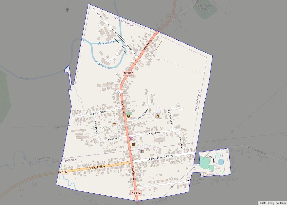
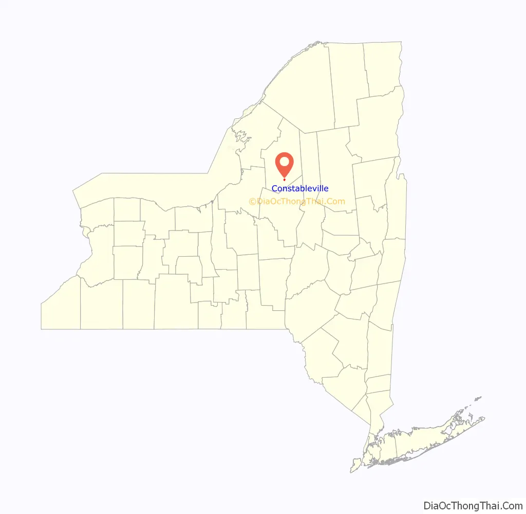
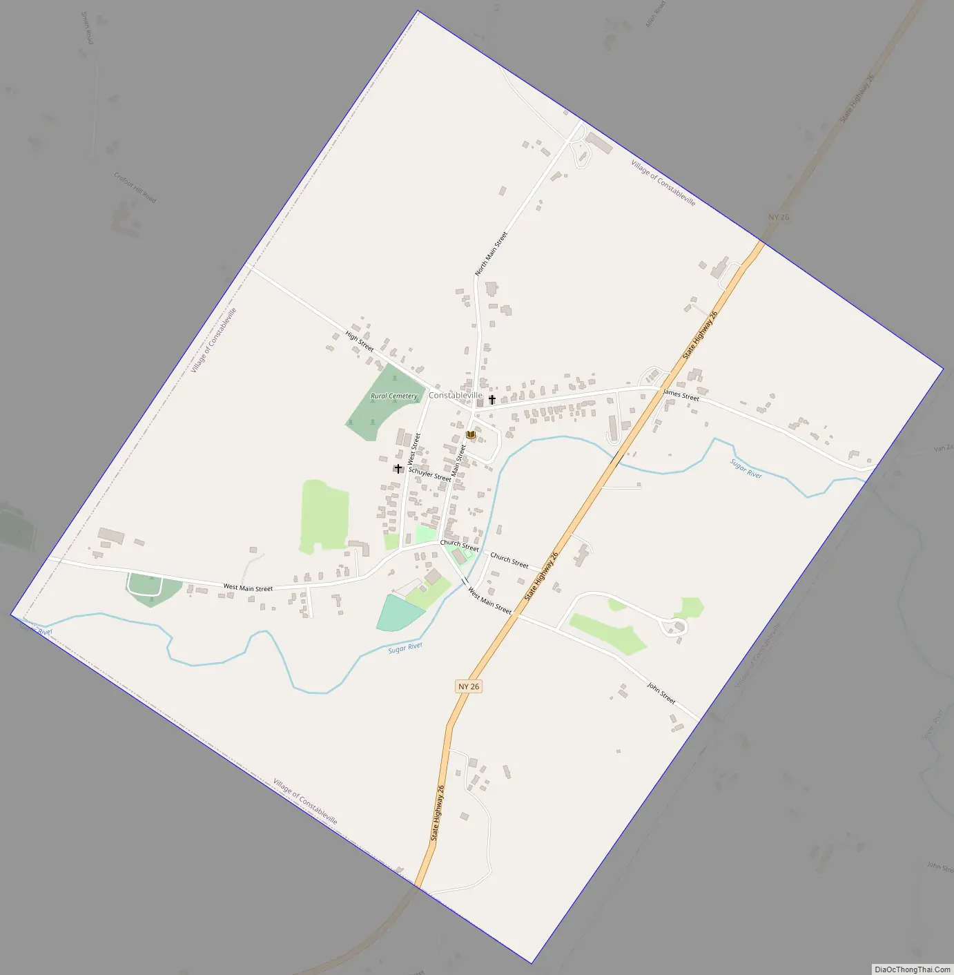
Constableville Road Map
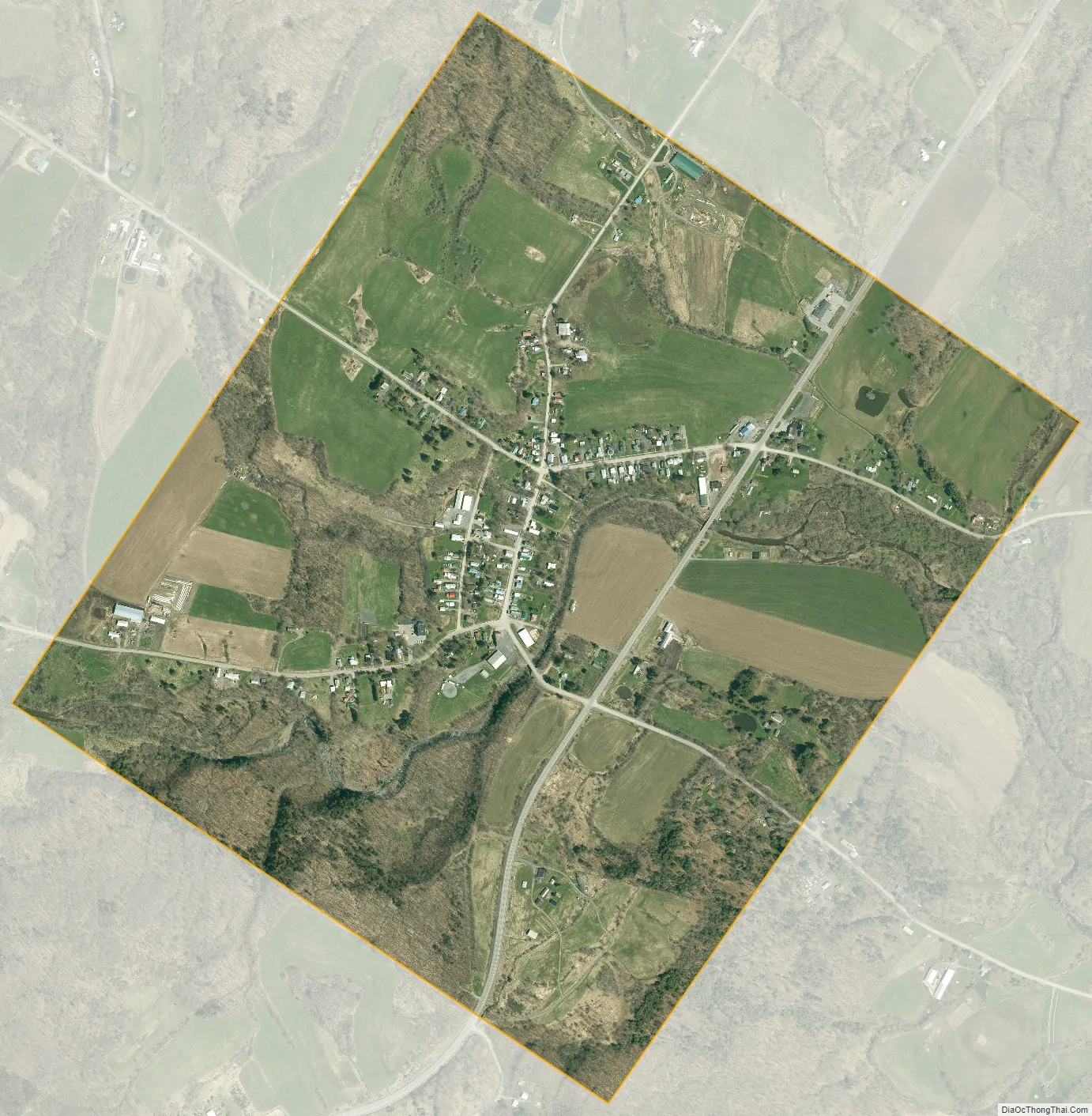
Constableville city Satellite Map
Geography
Constableville is located in the eastern part of the town of West Turin at 43°33′53″N 75°25′33″W / 43.56472°N 75.42583°W / 43.56472; -75.42583 (43.564642, -75.425883). According to the U.S. Census Bureau, the village has a total area of 1.1 square miles (2.9 km), all of it recorded as land. The Sugar River, a tributary of the Black River, runs through the village.
Constableville is on New York State Route 26, which leads north 17 miles (27 km) to Lowville, the county seat, and south 26 miles (42 km) to Rome.
Adjacent communities
Constableville is northeast of Mohawk Hill, southwest of Collinsville, and west of Locust Grove.
See also
Map of New York State and its subdivision:- Albany
- Allegany
- Bronx
- Broome
- Cattaraugus
- Cayuga
- Chautauqua
- Chemung
- Chenango
- Clinton
- Columbia
- Cortland
- Delaware
- Dutchess
- Erie
- Essex
- Franklin
- Fulton
- Genesee
- Greene
- Hamilton
- Herkimer
- Jefferson
- Kings
- Lake Ontario
- Lewis
- Livingston
- Madison
- Monroe
- Montgomery
- Nassau
- New York
- Niagara
- Oneida
- Onondaga
- Ontario
- Orange
- Orleans
- Oswego
- Otsego
- Putnam
- Queens
- Rensselaer
- Richmond
- Rockland
- Saint Lawrence
- Saratoga
- Schenectady
- Schoharie
- Schuyler
- Seneca
- Steuben
- Suffolk
- Sullivan
- Tioga
- Tompkins
- Ulster
- Warren
- Washington
- Wayne
- Westchester
- Wyoming
- Yates
- Alabama
- Alaska
- Arizona
- Arkansas
- California
- Colorado
- Connecticut
- Delaware
- District of Columbia
- Florida
- Georgia
- Hawaii
- Idaho
- Illinois
- Indiana
- Iowa
- Kansas
- Kentucky
- Louisiana
- Maine
- Maryland
- Massachusetts
- Michigan
- Minnesota
- Mississippi
- Missouri
- Montana
- Nebraska
- Nevada
- New Hampshire
- New Jersey
- New Mexico
- New York
- North Carolina
- North Dakota
- Ohio
- Oklahoma
- Oregon
- Pennsylvania
- Rhode Island
- South Carolina
- South Dakota
- Tennessee
- Texas
- Utah
- Vermont
- Virginia
- Washington
- West Virginia
- Wisconsin
- Wyoming