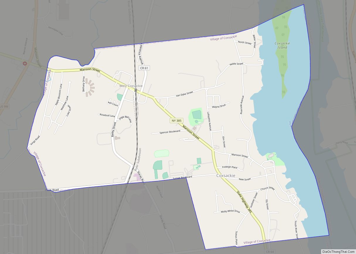
Coxsackie is a village in Greene County, New York, United States. The population was 2,765 at the 2020 census.
The village name comes from the native word mak-kachs-hack-ing. When the land was purchased by the Dutch settlers, the name was written as Koxhackung. It is generally translated as “Hoot-owl place” or “place of many owls”. Coxsackie comes from an Algonquin Indian word believed to mean “Place of Owls”, “Migrating Geese”, or “Cut Rocks”
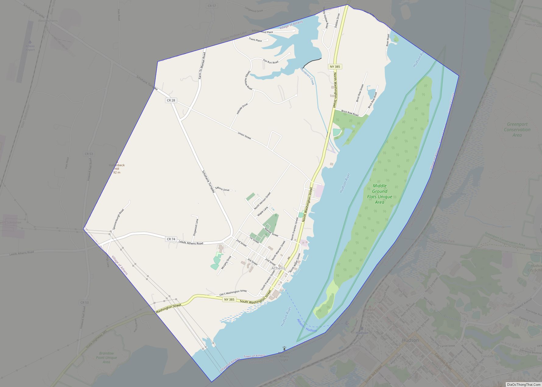
The village is in the eastern part of the town of Coxsackie along the Hudson River.
The “downstreet,” or downtown area, along Reed Street is home to a Post Office branch, a town Library (Heermance Memorial Library), the main offices of the State Telephone Company (internet and telephone services), National Bank of Coxsackie’s main branch office, and a growing group of active, small businesses. Reed Street is two blocks long and ends at Riverside Park with panoramic views of the Hudson River. A local developer has recently bought the decaying but historic buildings and warehouses along the river in order to re-develop them for new use.
| Name: | Coxsackie village |
|---|---|
| LSAD Code: | 47 |
| LSAD Description: | village (suffix) |
| State: | New York |
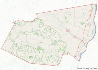
| County: | Greene County |
| Elevation: | 160 ft (43 m) |
| Total Area: | 2.6 sq mi (6.7 km²) |
| Land Area: | 2.2 sq mi (5.6 km²) |
| Water Area: | 0.4 sq mi (1.1 km²) |
| Total Population: | 2,765 |
| Population Density: | 1,100/sq mi (410/km²) |
| ZIP code: | 12051, 12192 |
| Area code: | 518 |
| FIPS code: | 3618718 |
| GNISfeature ID: | 0947608 |
| Website: | villageofcoxsackie.com |
Online Interactive Map
Click on ![]() to view map in "full screen" mode.
to view map in "full screen" mode.
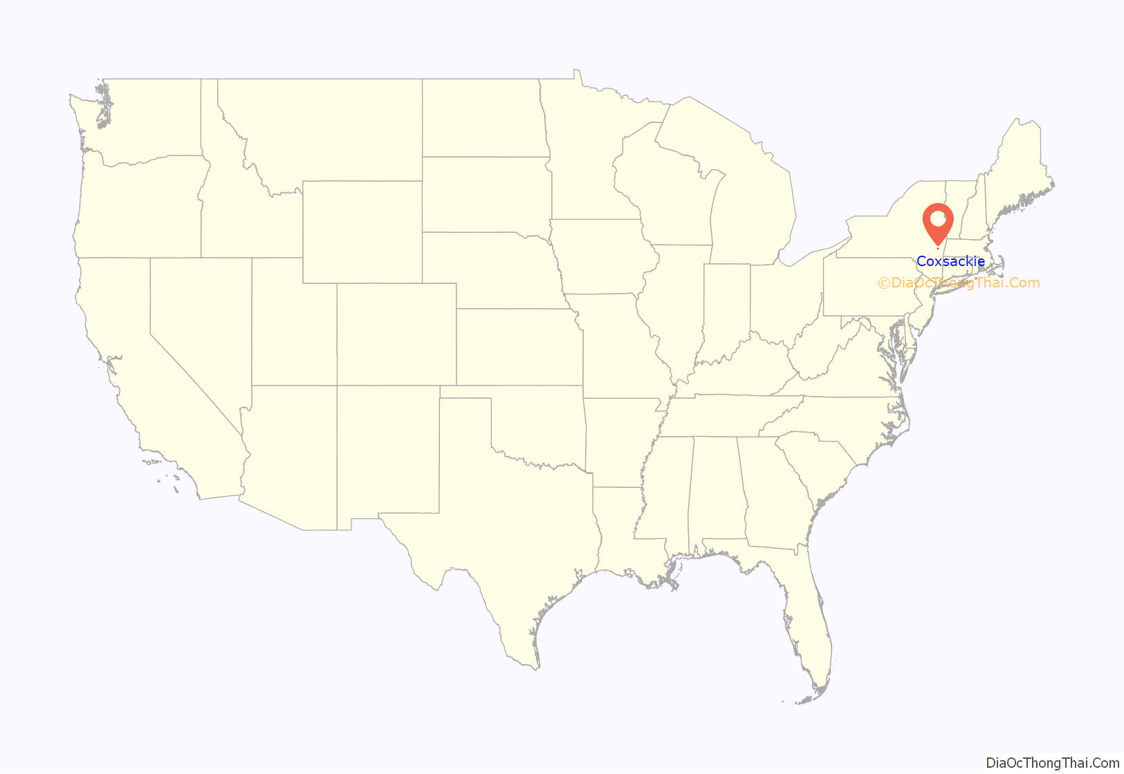
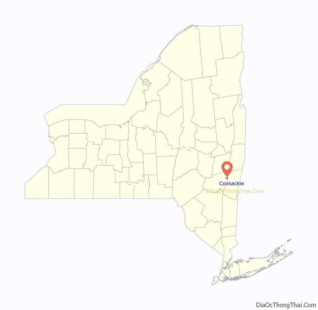
Coxsackie location map. Where is Coxsackie village?
History
The original plot of land was sold by American Indians to Pieter Bronck in 1661 for 150 guilders in beaver pelts.
The lower part of the village was once called “Reeds Landing”. In the late 19th century, this area contained several factories and a steamboat landing, now replaced by a waterfront park. The district was built up around industries that serviced, by way of the Hudson River, New York City to the South and points North. There were several ice houses that harvested ice from the river as well as brick foundries, iron foundries, carriage makers and lumber treating. Warehousing and transport from local farms was also an important industry.
The remains of the steam freighter Storm King still rest here, in the river just north of the park, where she sank at her moorings in the 1930s. She is still visible except at the highest tide or during flooding. Near this area in the early 20th century was a popular sandy beach that drew thousands of visitors on summer weekends. The beach eroded away after channelization of the Hudson during the 1930s, when deep water navigation was extended up to Albany.
A ferry service connected the village to Newtons Hook across the river in Columbia County until June 12, 1938.
In 1947, the Coxsackievirus was isolated from an outbreak in upstate New York, and was named after the village, being the location where the outbreak first began.
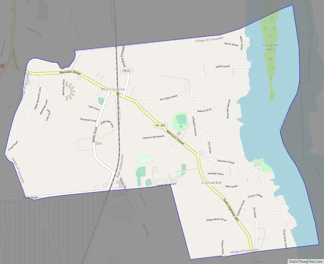
Coxsackie Road Map
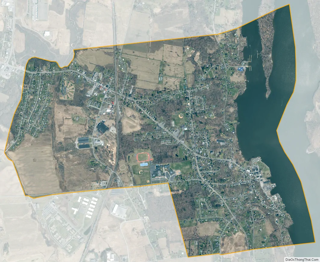
Coxsackie city Satellite Map
Geography
Coxsackie is located in eastern Greene County on the west bank of the Hudson River. The Hudson is an estuary. Although Coxsackie is 120 miles (190 km) from the ocean, tides here range about 3 feet (0.91 m) (the river flows both ways depending on time of day).
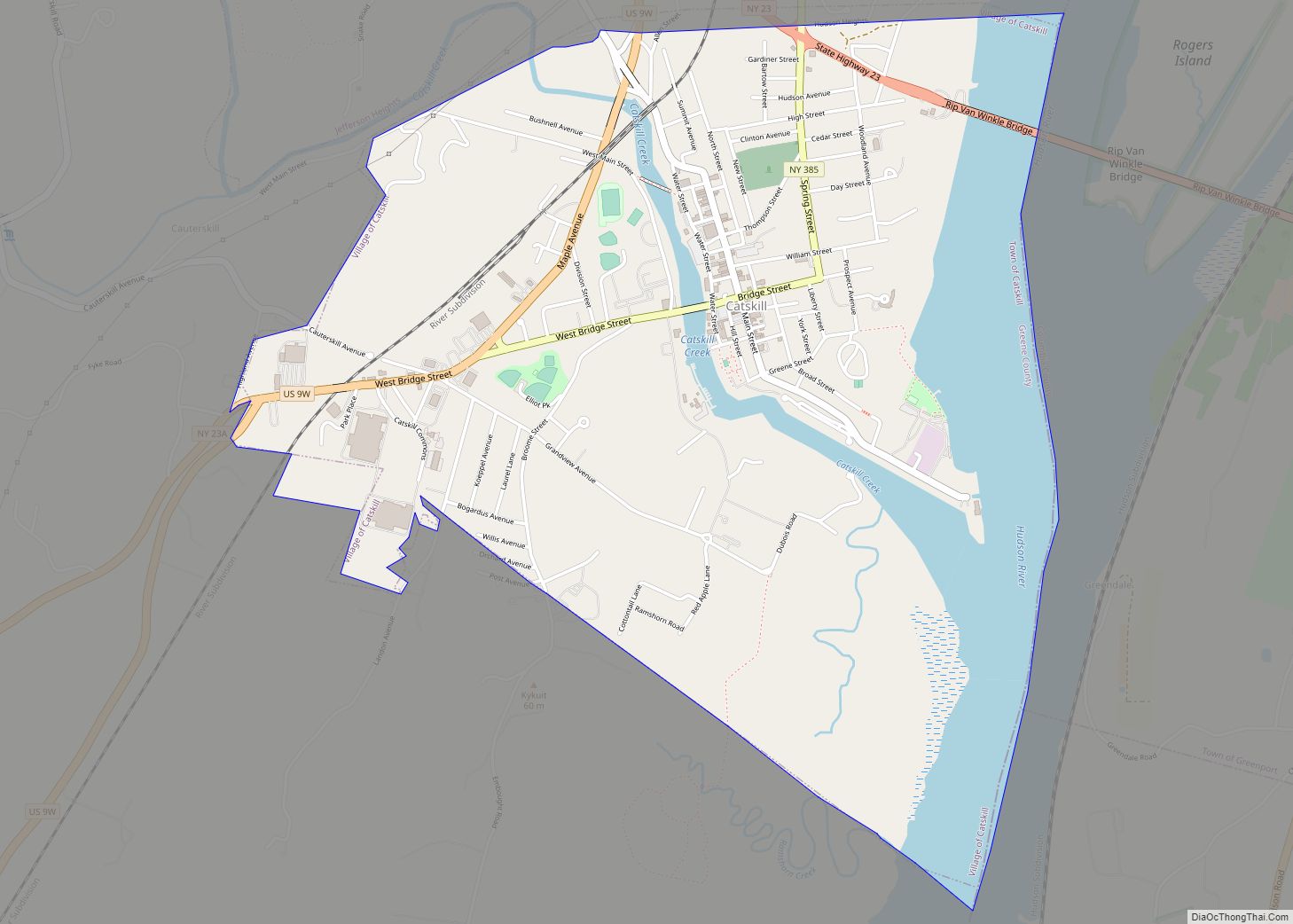
New York State Route 385 passes through the village, leading south (downriver) 6 miles (10 km) to Athens and 11 miles (18 km) to Catskill, and northwest 1.5 miles (2.4 km) to its terminus at U.S. Route 9W just outside the village limits. US 9W leads north 2 miles (3 km) to an interchange with Interstate 87 (the New York State Thruway); via the Thruway it is 23 miles (37 km) north to Albany, the state capital, and 134 miles (216 km) south to New York City.
According to the United States Census Bureau, the village has a total area of 2.6 square miles (6.7 km), of which 2.2 square miles (5.6 km) is land and 0.42 square miles (1.1 km), or 16.31%, is water.
See also
Map of New York State and its subdivision:- Albany
- Allegany
- Bronx
- Broome
- Cattaraugus
- Cayuga
- Chautauqua
- Chemung
- Chenango
- Clinton
- Columbia
- Cortland
- Delaware
- Dutchess
- Erie
- Essex
- Franklin
- Fulton
- Genesee
- Greene
- Hamilton
- Herkimer
- Jefferson
- Kings
- Lake Ontario
- Lewis
- Livingston
- Madison
- Monroe
- Montgomery
- Nassau
- New York
- Niagara
- Oneida
- Onondaga
- Ontario
- Orange
- Orleans
- Oswego
- Otsego
- Putnam
- Queens
- Rensselaer
- Richmond
- Rockland
- Saint Lawrence
- Saratoga
- Schenectady
- Schoharie
- Schuyler
- Seneca
- Steuben
- Suffolk
- Sullivan
- Tioga
- Tompkins
- Ulster
- Warren
- Washington
- Wayne
- Westchester
- Wyoming
- Yates
- Alabama
- Alaska
- Arizona
- Arkansas
- California
- Colorado
- Connecticut
- Delaware
- District of Columbia
- Florida
- Georgia
- Hawaii
- Idaho
- Illinois
- Indiana
- Iowa
- Kansas
- Kentucky
- Louisiana
- Maine
- Maryland
- Massachusetts
- Michigan
- Minnesota
- Mississippi
- Missouri
- Montana
- Nebraska
- Nevada
- New Hampshire
- New Jersey
- New Mexico
- New York
- North Carolina
- North Dakota
- Ohio
- Oklahoma
- Oregon
- Pennsylvania
- Rhode Island
- South Carolina
- South Dakota
- Tennessee
- Texas
- Utah
- Vermont
- Virginia
- Washington
- West Virginia
- Wisconsin
- Wyoming