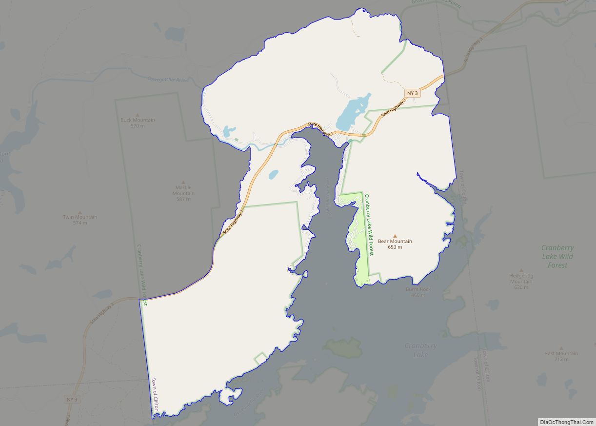
Cranberry Lake is a hamlet in the eastern part of the Town of Clifton, in St. Lawrence County, New York, United States. It lies along New York State Route 3 on the north shore of Cranberry Lake. The population was 200 at the 2010 census, which lists the community as a census-designated place.
Cranberry Lake, despite being one of the largest lakes in the Adirondacks, has mostly been preserved, because most of the land is owned by the state of New York. Cranberry Lake has many ponds and mountains with extensive hiking trails, such as the Cranberry Lake 50, a 50-mile hike around the Lake.
| Name: | Cranberry Lake CDP |
|---|---|
| LSAD Code: | 57 |
| LSAD Description: | CDP (suffix) |
| State: | New York |
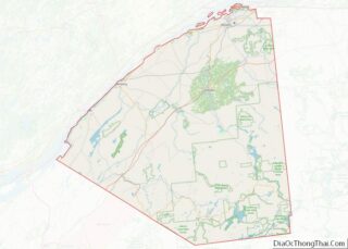
| County: | St. Lawrence County |
| Elevation: | 1,489 ft (454 m) |
| Total Area: | 19.71 sq mi (51.06 km²) |
| Land Area: | 19.42 sq mi (50.31 km²) |
| Water Area: | 0.29 sq mi (0.75 km²) |
| Total Population: | 174 |
| Population Density: | 8.96/sq mi (3.46/km²) |
| ZIP code: | 12927 |
| Area code: | 315 |
| FIPS code: | 3618817 |
| GNISfeature ID: | 976196 |
Online Interactive Map
Click on ![]() to view map in "full screen" mode.
to view map in "full screen" mode.
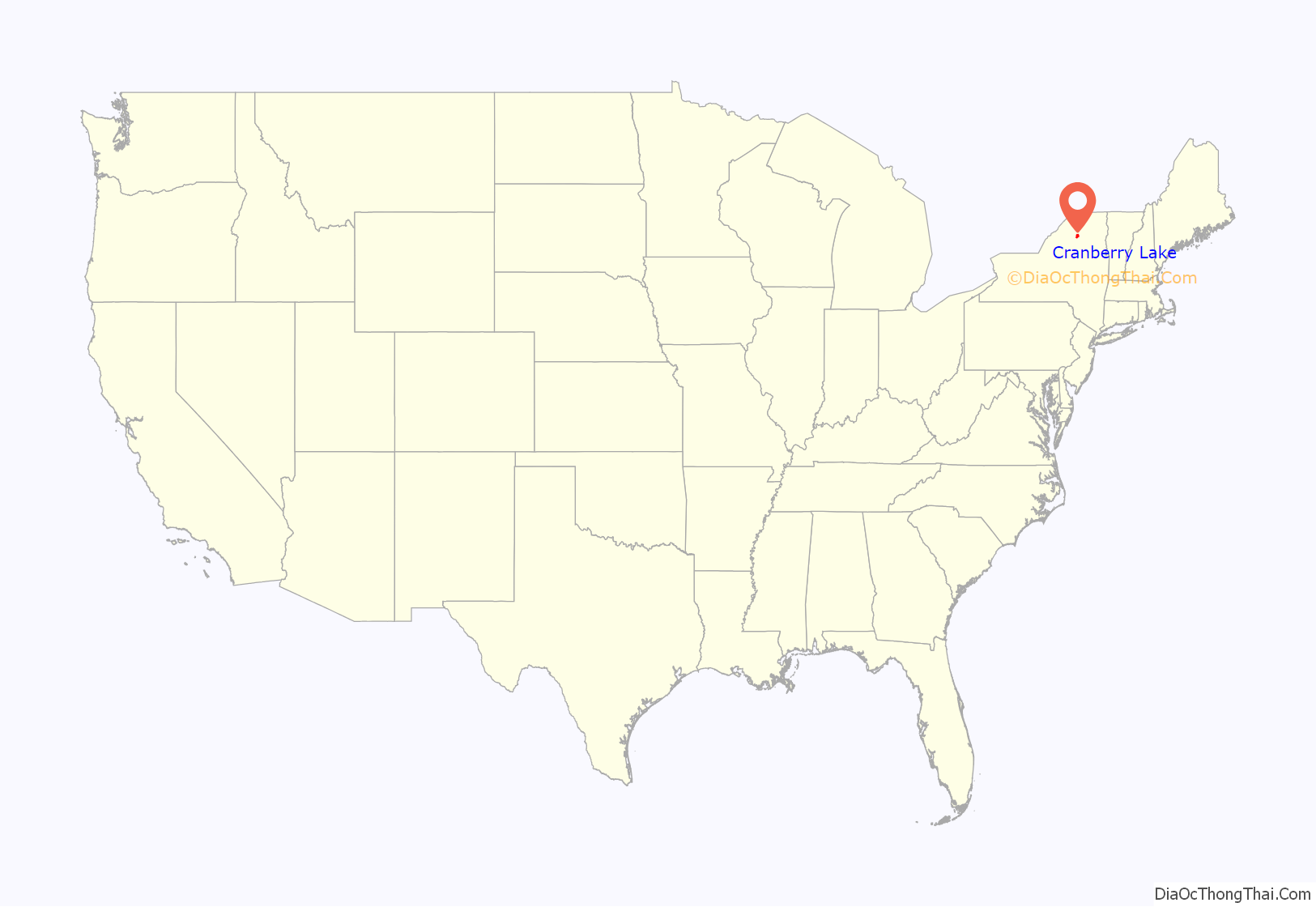
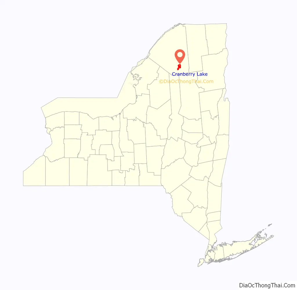
Cranberry Lake location map. Where is Cranberry Lake CDP?
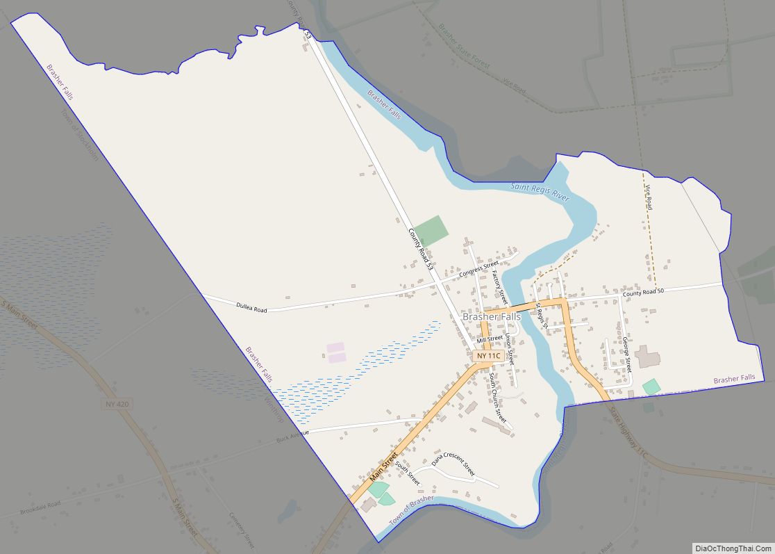
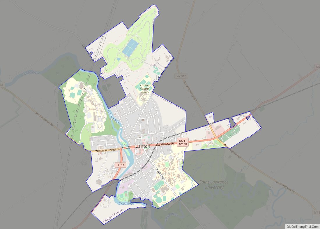
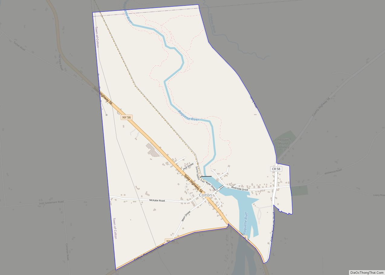
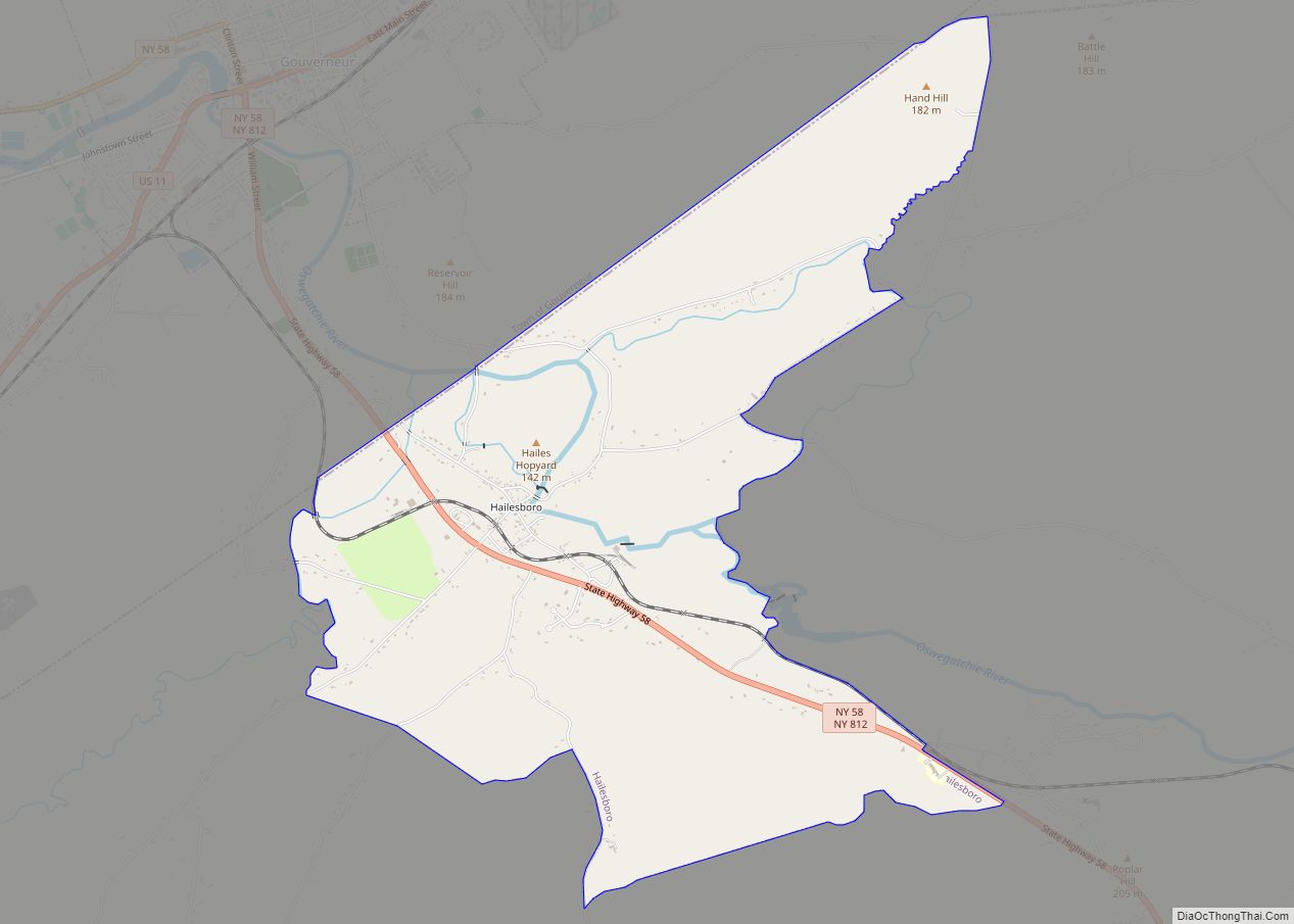
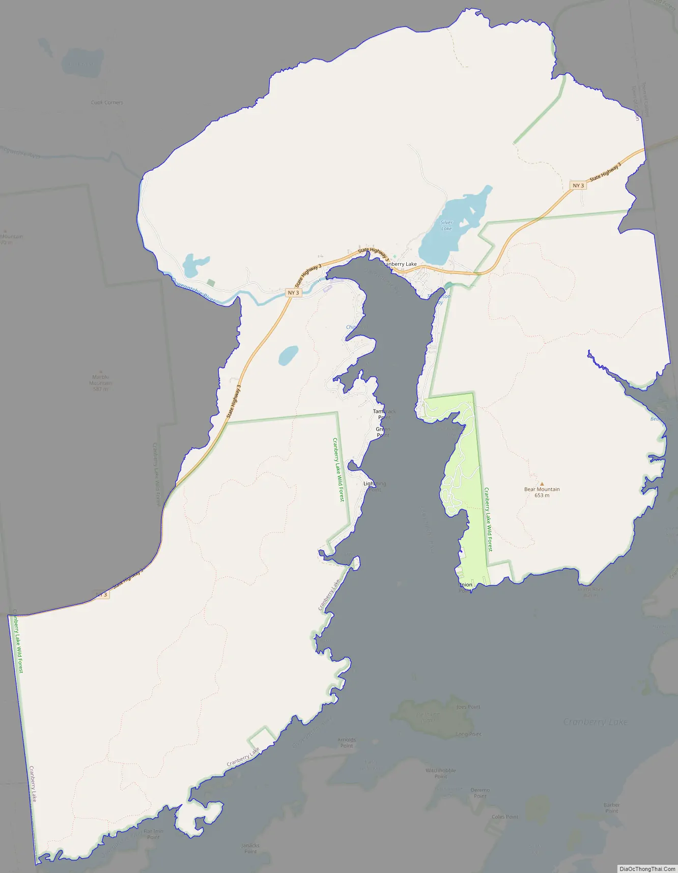
Cranberry Lake Road Map
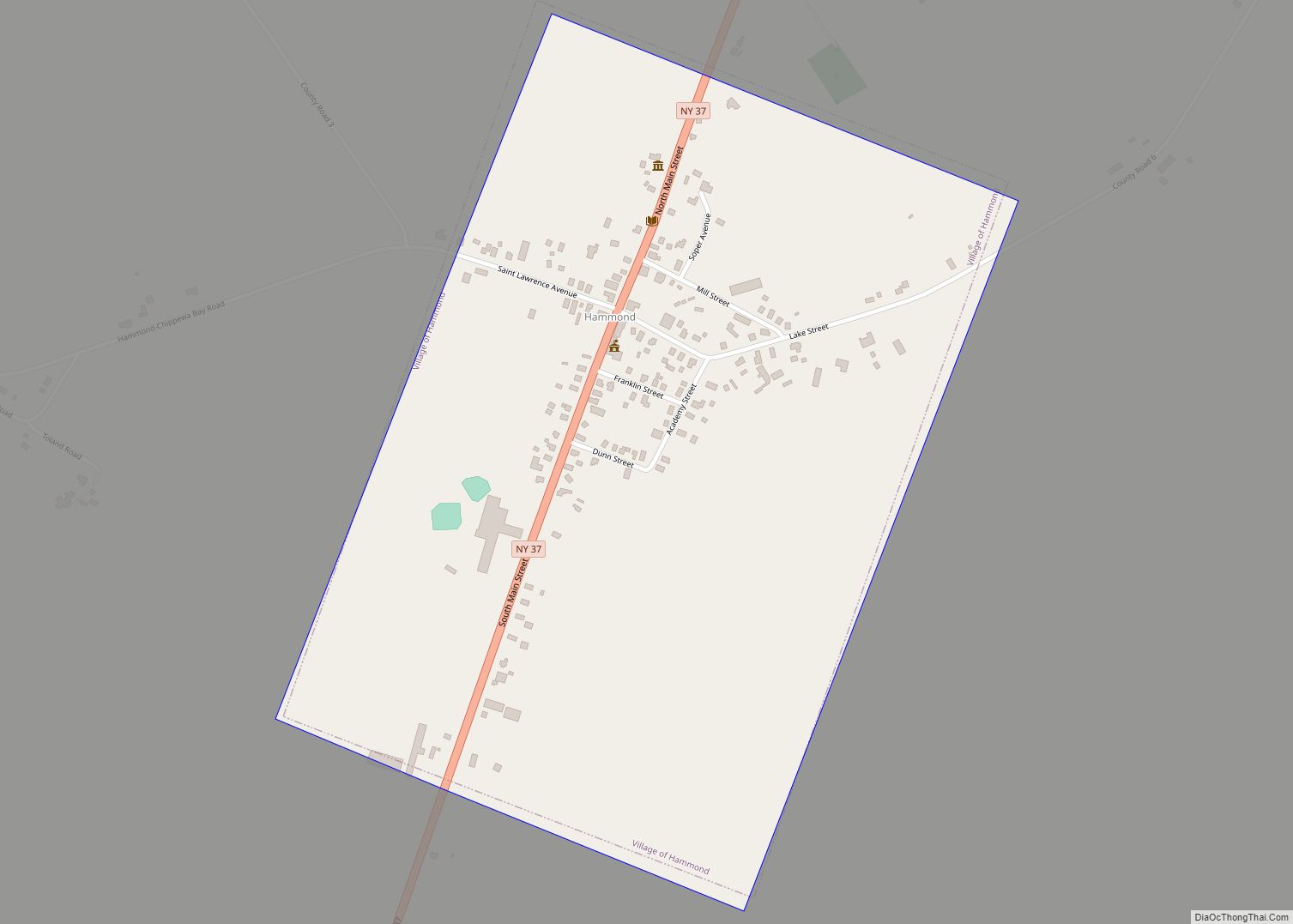
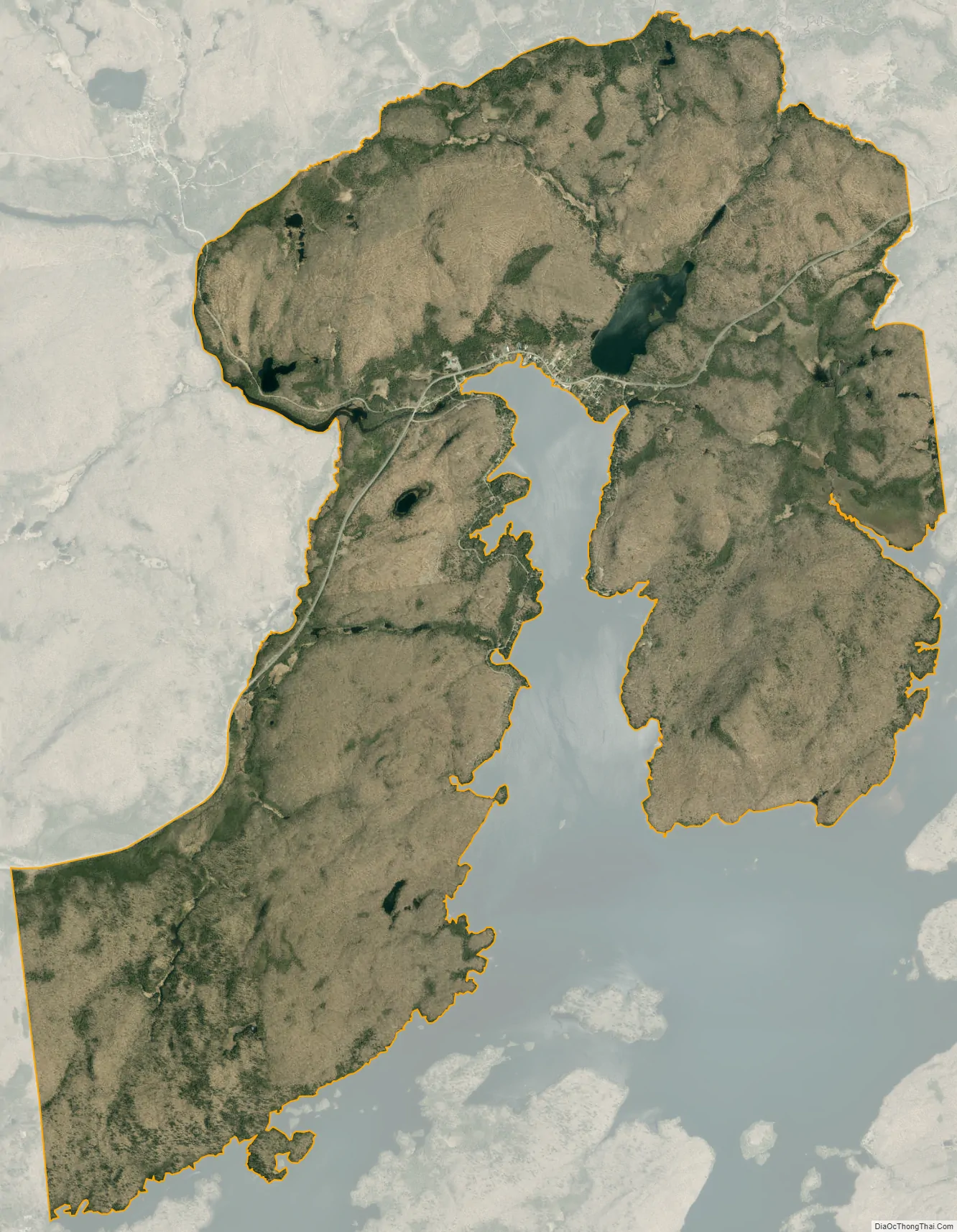
Cranberry Lake city Satellite Map
Geography
Cranberry Lake is located at 44°13′21″N 074°50′11″W / 44.22250°N 74.83639°W / 44.22250; -74.83639 (44.2225615, -74.8362986) and its elevation is 1,489 feet (454 m).
According to the 2010 United States Census, the CDP has a total area of 19.713 square miles (51.06 km), of which 19.437 square miles (50.34 km) is land and 0.276 square miles (0.71 km) is water.
See also
Map of New York State and its subdivision:- Albany
- Allegany
- Bronx
- Broome
- Cattaraugus
- Cayuga
- Chautauqua
- Chemung
- Chenango
- Clinton
- Columbia
- Cortland
- Delaware
- Dutchess
- Erie
- Essex
- Franklin
- Fulton
- Genesee
- Greene
- Hamilton
- Herkimer
- Jefferson
- Kings
- Lake Ontario
- Lewis
- Livingston
- Madison
- Monroe
- Montgomery
- Nassau
- New York
- Niagara
- Oneida
- Onondaga
- Ontario
- Orange
- Orleans
- Oswego
- Otsego
- Putnam
- Queens
- Rensselaer
- Richmond
- Rockland
- Saint Lawrence
- Saratoga
- Schenectady
- Schoharie
- Schuyler
- Seneca
- Steuben
- Suffolk
- Sullivan
- Tioga
- Tompkins
- Ulster
- Warren
- Washington
- Wayne
- Westchester
- Wyoming
- Yates
- Alabama
- Alaska
- Arizona
- Arkansas
- California
- Colorado
- Connecticut
- Delaware
- District of Columbia
- Florida
- Georgia
- Hawaii
- Idaho
- Illinois
- Indiana
- Iowa
- Kansas
- Kentucky
- Louisiana
- Maine
- Maryland
- Massachusetts
- Michigan
- Minnesota
- Mississippi
- Missouri
- Montana
- Nebraska
- Nevada
- New Hampshire
- New Jersey
- New Mexico
- New York
- North Carolina
- North Dakota
- Ohio
- Oklahoma
- Oregon
- Pennsylvania
- Rhode Island
- South Carolina
- South Dakota
- Tennessee
- Texas
- Utah
- Vermont
- Virginia
- Washington
- West Virginia
- Wisconsin
- Wyoming