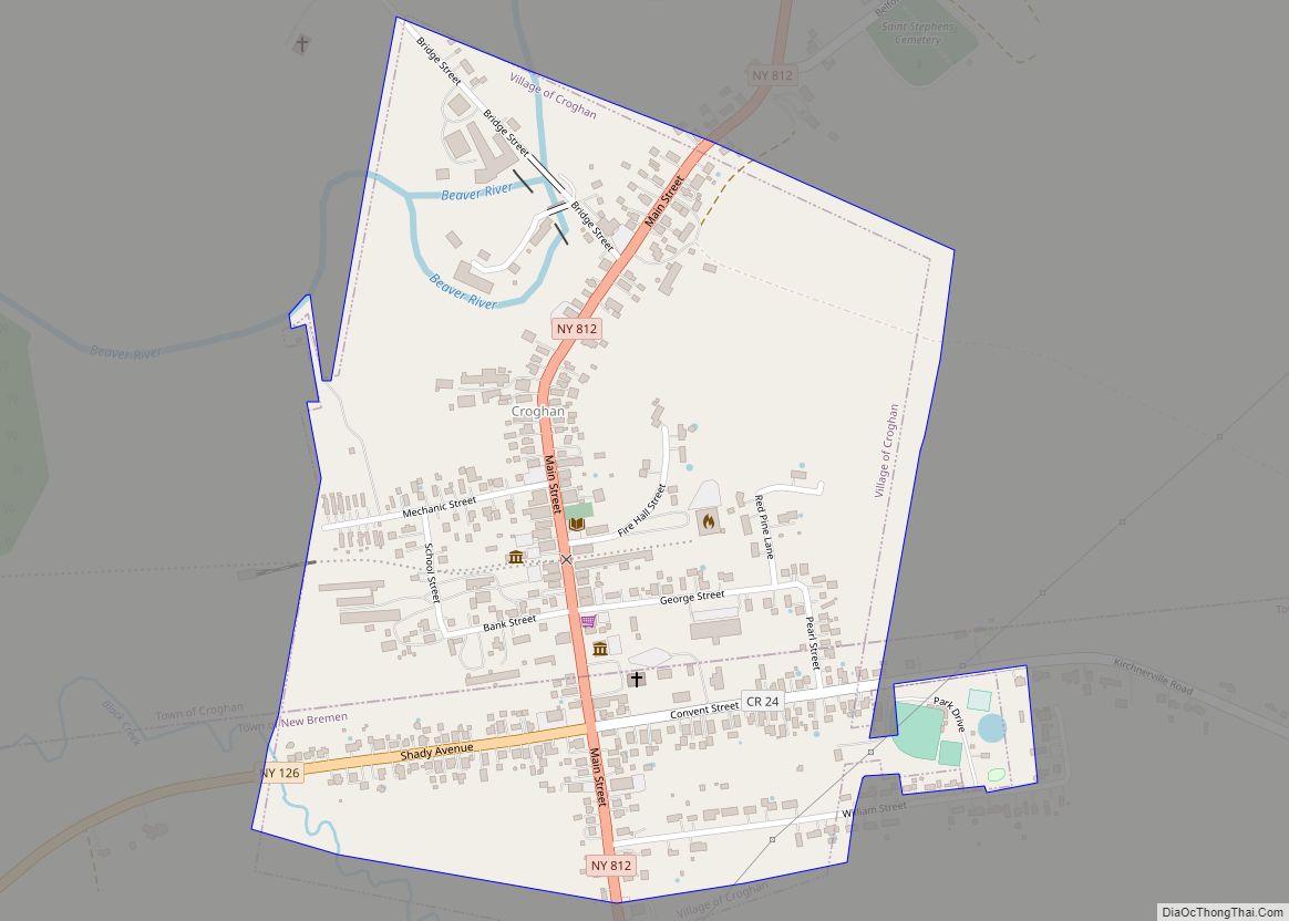
Croghan is a village in Lewis County, New York, United States. Its population was 618 at the 2010 census.
The village is situated mainly in the southern part of the town of Croghan, with a small part in New Bremen. The town and the village were both named after George Croghan, a soldier in the War of 1812.
The village slogan, which reflects Croghan’s proximity to the Adirondack Mountains, is “In the Foothills of the Adirondacks”.
| Name: | Croghan village |
|---|---|
| LSAD Code: | 47 |
| LSAD Description: | village (suffix) |
| State: | New York |
| County: | Lewis County |
| Elevation: | 840 ft (260 m) |
| Total Area: | 0.43 sq mi (1.12 km²) |
| Land Area: | 0.43 sq mi (1.12 km²) |
| Water Area: | 0.00 sq mi (0.00 km²) |
| Total Population: | 639 |
| Population Density: | 1,472.35/sq mi (568.66/km²) |
| ZIP code: | 13327 |
| Area code: | 315 |
| FIPS code: | 3619070 |
| GNISfeature ID: | 2391629 |
| Website: | www.croghanny.org |
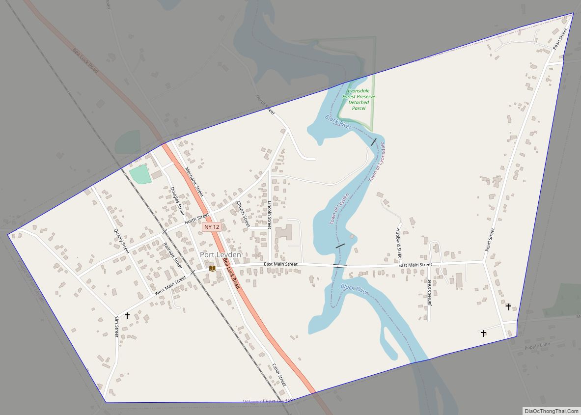
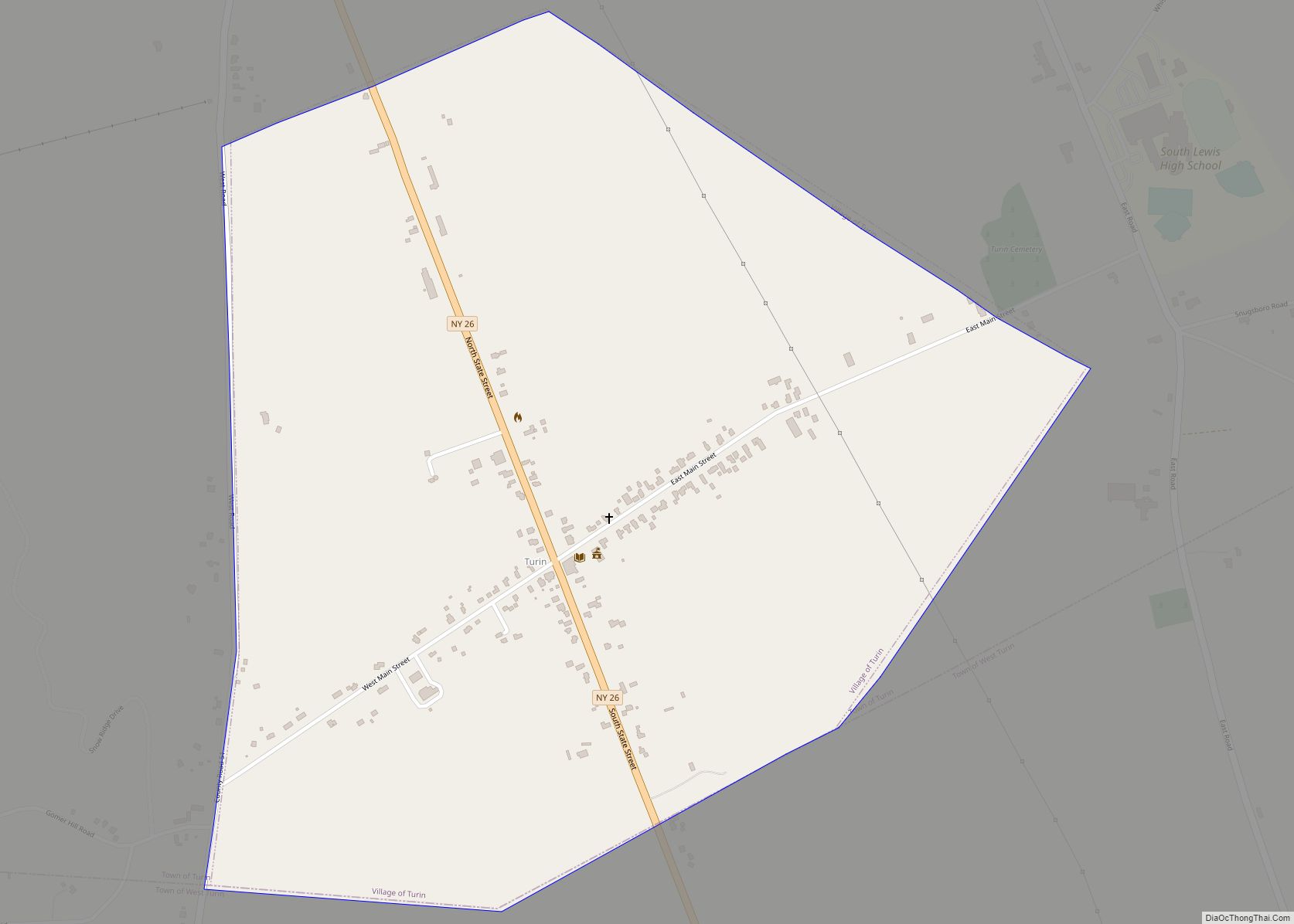
Online Interactive Map
Click on ![]() to view map in "full screen" mode.
to view map in "full screen" mode.
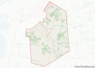
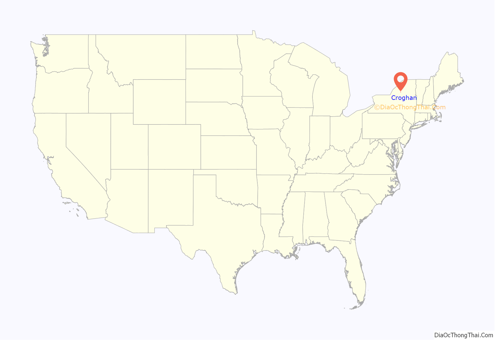
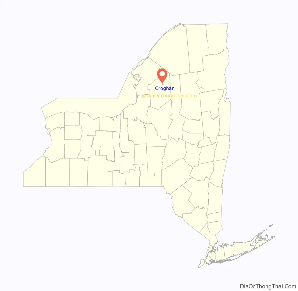
Croghan location map. Where is Croghan village?
History
The village was once a booming region for the lumber industry. During the late 19th century, one particularly influential member of the local community was millionaire lumber baron Theodore B. Basselin, whose estate sat on the corner of Main Street and Bank Street. His mansion remains there to this day. Basselin is buried in a private family plot along Main Street, next to the village library, which once served as the opera house.
Croghan survived two major fires in the early 1900s, the first of which claimed the lives of two small children. The fire started next to where Stumps Tavern now sits along Main and Mechanic and engulfed most of the village, even burning down the massive Catholic church and divinity school.
The village now takes great pride in its “world famous Croghan Bologna”, produced and sold at the Campany family’s meat market. The village was a center of the pure maple syrup industry before a microburst in the mid-1990s which brought extremely high winds, destroying many of the older, larger trees.
Croghan is popular with avid outdoorsmen from throughout the country who visit the area in the summer for fishing and camping, in the fall for hunting, and in the winter for sledding.
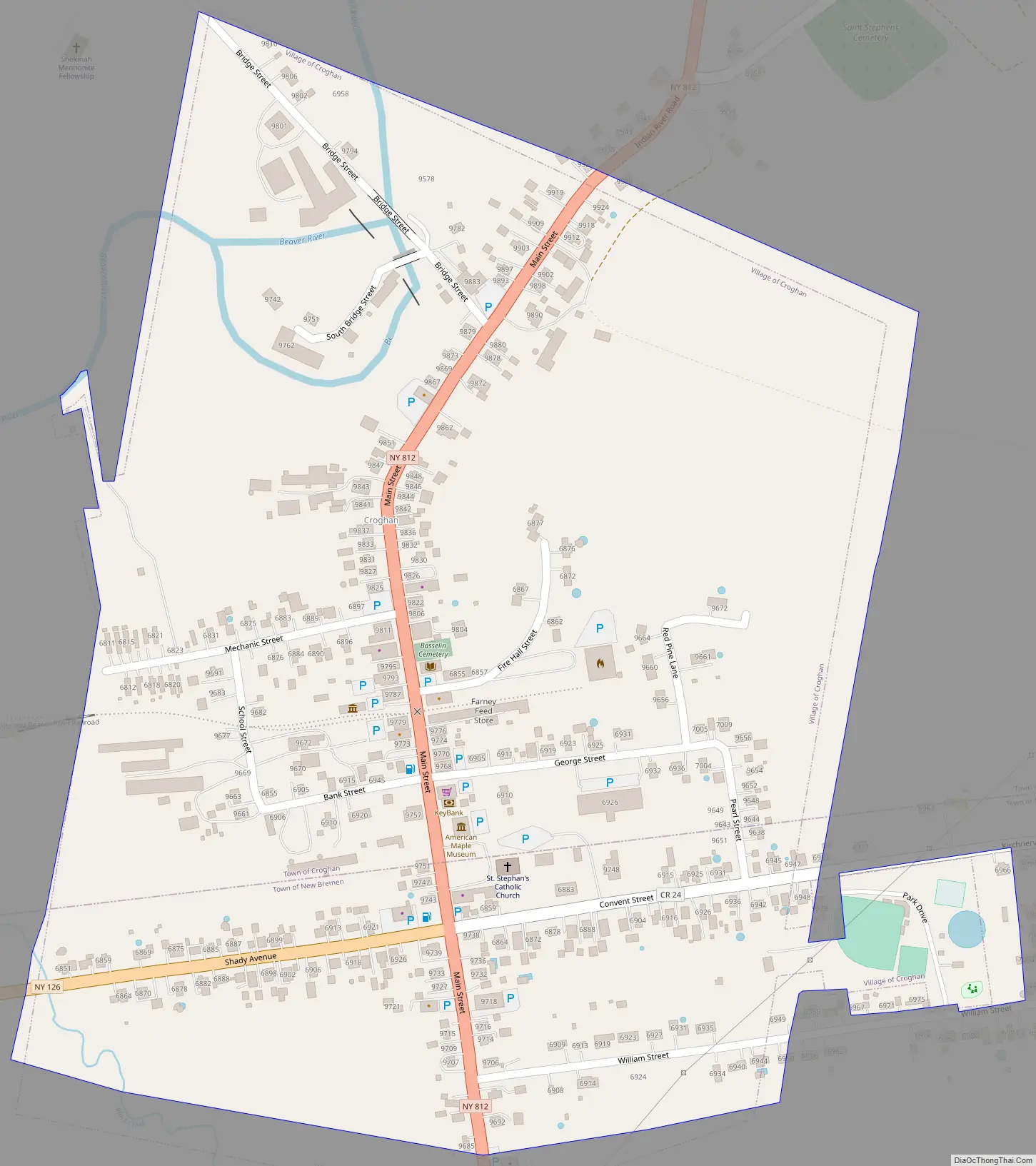
Croghan Road Map
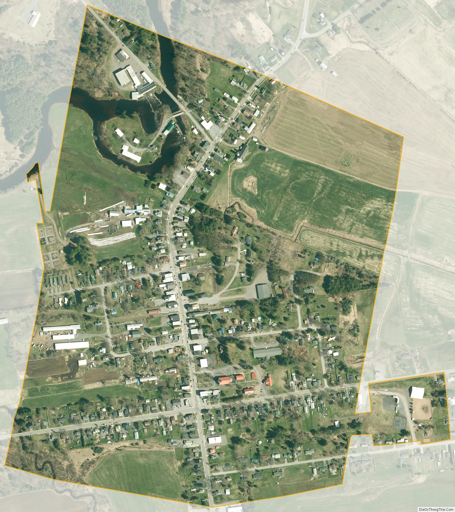
Croghan city Satellite Map
Geography
Croghan is located northeast of the center of Lewis County at the junction of New York State Routes 126 and 812. It is primarily in the southern part of the town of Croghan, but a small portion of the village crosses into the town of New Bremen to the south.
According to the United States Census Bureau, the village has a total area of 0.42 square miles (1.1 km), all land.
The Beaver River, a tributary of the Black River, flows through the village. Croghan is 10 miles (16 km) northeast of the county seat, Lowville.
Adjacent communities
Kirschnerville is to the east of Croghan, New Bremen to its south; Beaver Falls is down the Beaver River to the west, and Belfort up the river to the northeast.
See also
Map of New York State and its subdivision:- Albany
- Allegany
- Bronx
- Broome
- Cattaraugus
- Cayuga
- Chautauqua
- Chemung
- Chenango
- Clinton
- Columbia
- Cortland
- Delaware
- Dutchess
- Erie
- Essex
- Franklin
- Fulton
- Genesee
- Greene
- Hamilton
- Herkimer
- Jefferson
- Kings
- Lake Ontario
- Lewis
- Livingston
- Madison
- Monroe
- Montgomery
- Nassau
- New York
- Niagara
- Oneida
- Onondaga
- Ontario
- Orange
- Orleans
- Oswego
- Otsego
- Putnam
- Queens
- Rensselaer
- Richmond
- Rockland
- Saint Lawrence
- Saratoga
- Schenectady
- Schoharie
- Schuyler
- Seneca
- Steuben
- Suffolk
- Sullivan
- Tioga
- Tompkins
- Ulster
- Warren
- Washington
- Wayne
- Westchester
- Wyoming
- Yates
- Alabama
- Alaska
- Arizona
- Arkansas
- California
- Colorado
- Connecticut
- Delaware
- District of Columbia
- Florida
- Georgia
- Hawaii
- Idaho
- Illinois
- Indiana
- Iowa
- Kansas
- Kentucky
- Louisiana
- Maine
- Maryland
- Massachusetts
- Michigan
- Minnesota
- Mississippi
- Missouri
- Montana
- Nebraska
- Nevada
- New Hampshire
- New Jersey
- New Mexico
- New York
- North Carolina
- North Dakota
- Ohio
- Oklahoma
- Oregon
- Pennsylvania
- Rhode Island
- South Carolina
- South Dakota
- Tennessee
- Texas
- Utah
- Vermont
- Virginia
- Washington
- West Virginia
- Wisconsin
- Wyoming