Deposit is a village in Broome and Delaware counties in the U.S. state of New York. The population was 1,663 at the 2010 census.
The village, on the county line, is half within the town of Sanford (Broome County) and half within the town of Deposit (Delaware County). The Broome County portion of Deposit is part of the Binghamton Metropolitan Statistical Area.
| Name: | Deposit village |
|---|---|
| LSAD Code: | 47 |
| LSAD Description: | village (suffix) |
| State: | New York |
| County: | Broome County, Delaware County |
| Elevation: | 991 ft (302 m) |
| Total Area: | 1.32 sq mi (3.41 km²) |
| Land Area: | 1.26 sq mi (3.27 km²) |
| Water Area: | 0.05 sq mi (0.14 km²) |
| Total Population: | 1,387 |
| Population Density: | 1,098.18/sq mi (424.05/km²) |
| ZIP code: | 13754 |
| FIPS code: | 3620346 |
| Website: | villageofdeposit.org |
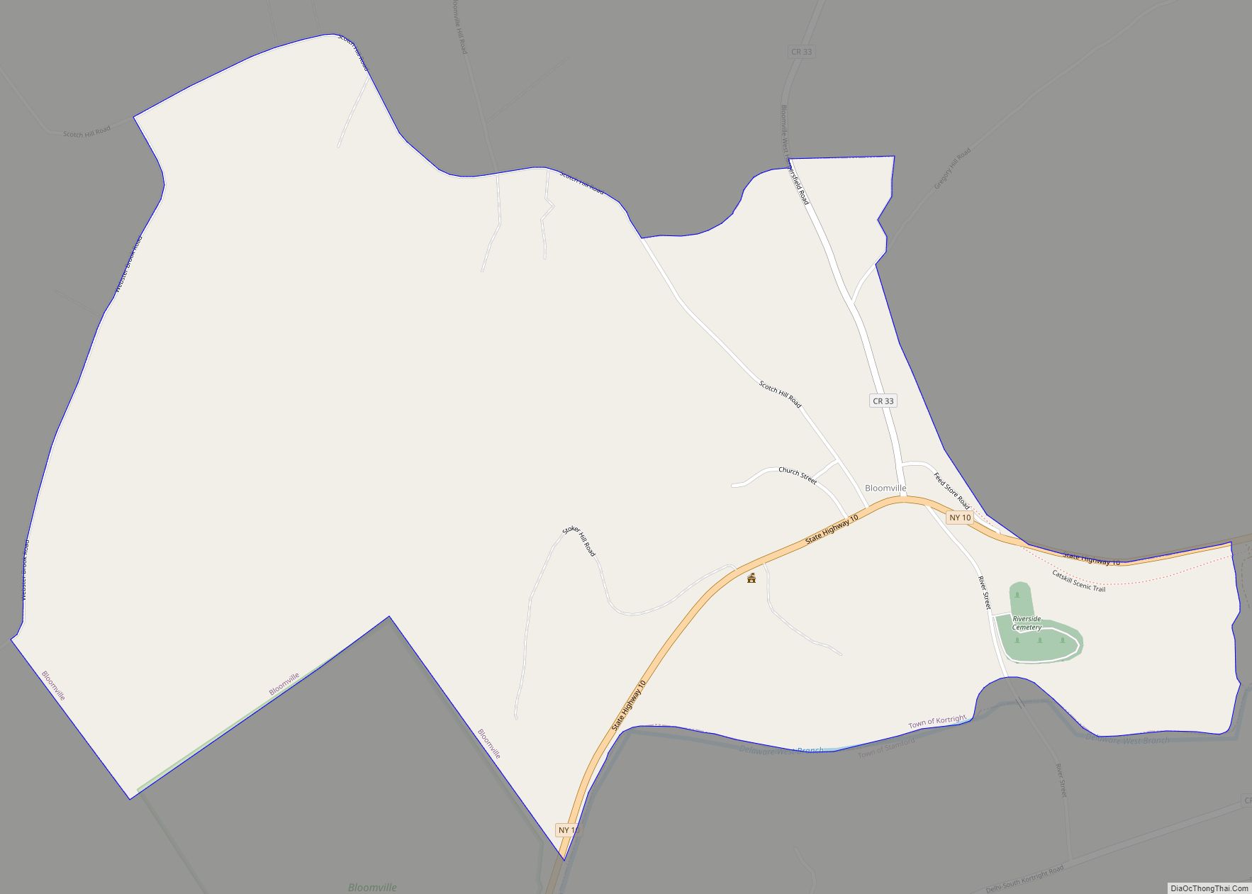
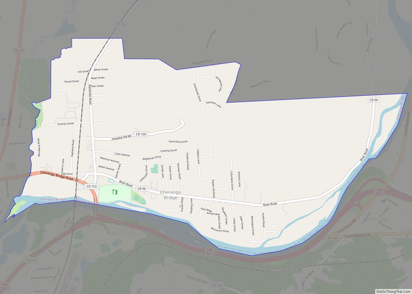
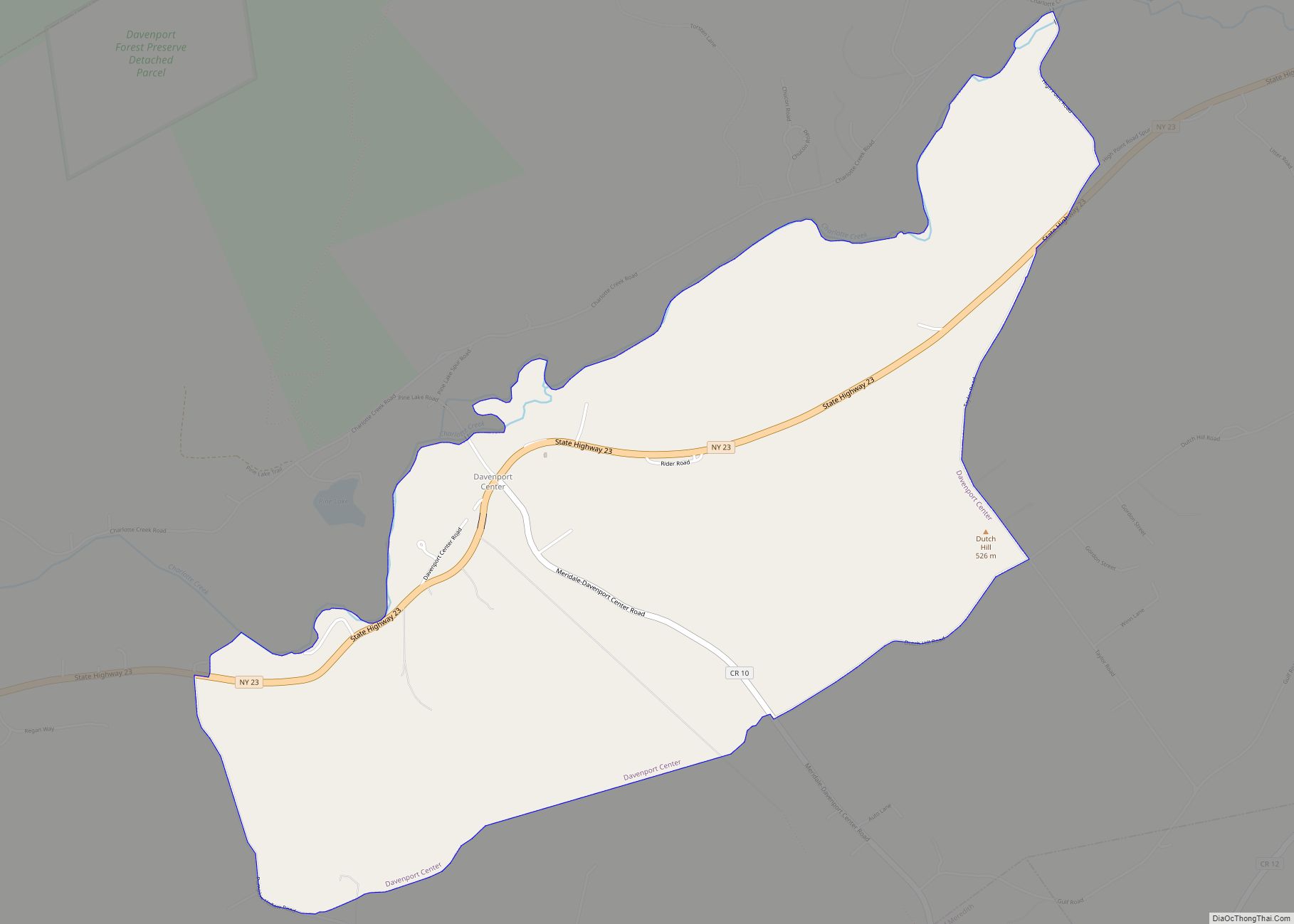
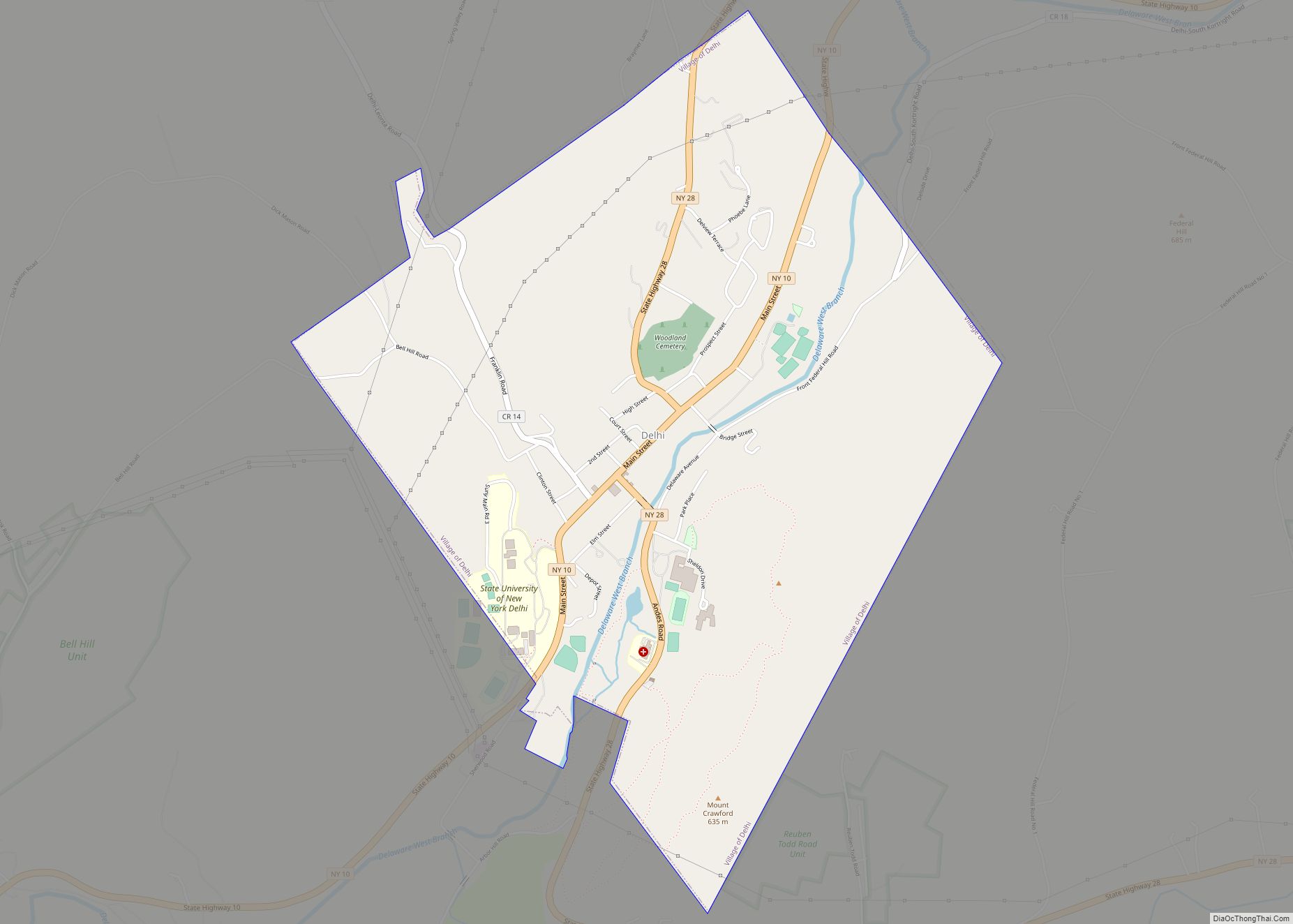
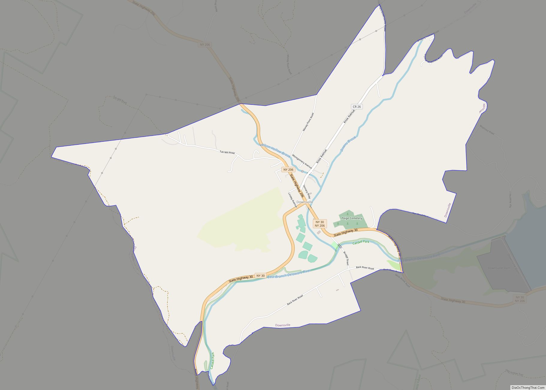
Online Interactive Map
Click on ![]() to view map in "full screen" mode.
to view map in "full screen" mode.
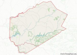
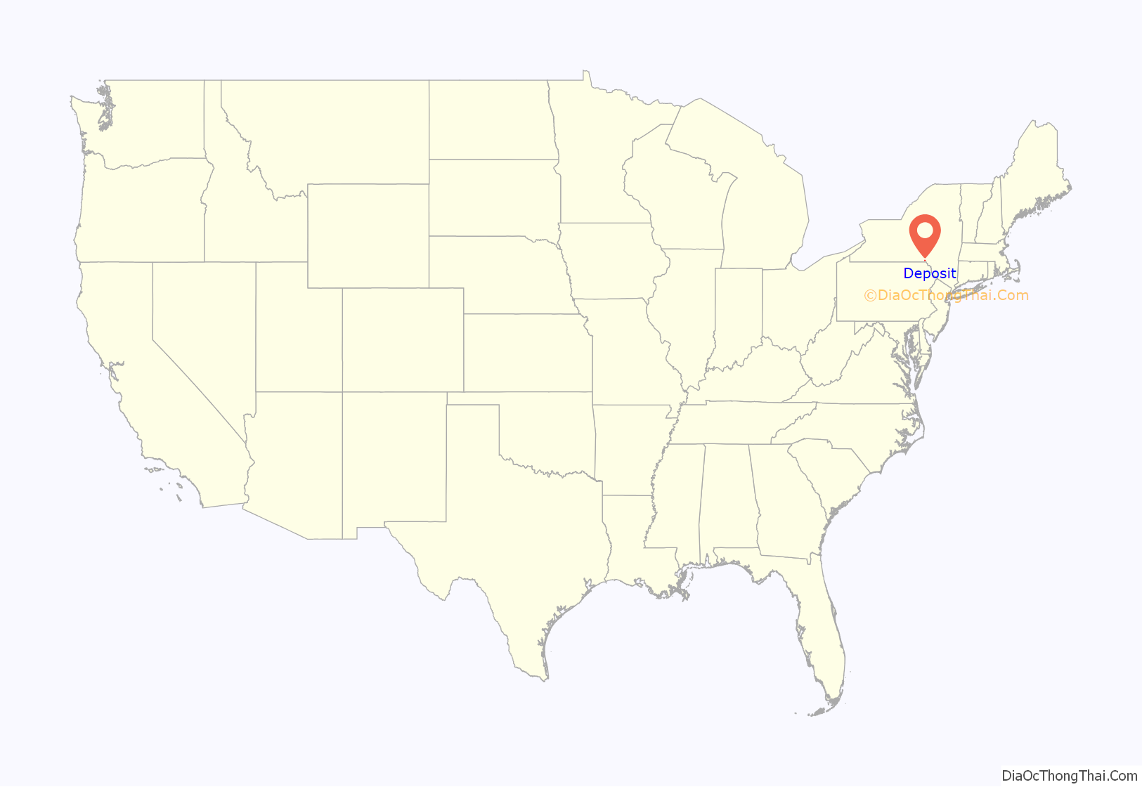
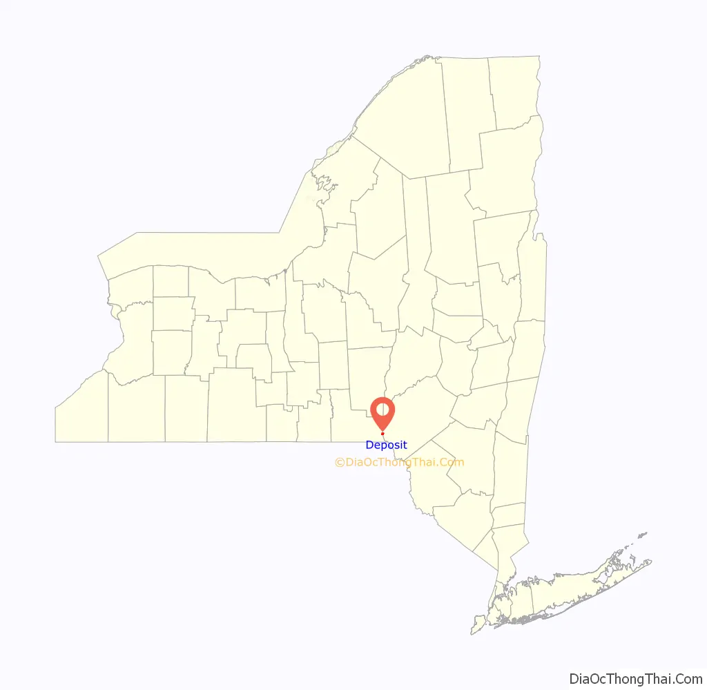
Deposit location map. Where is Deposit village?
History
The position of the village is at the boundary of White and Indian territory, as imposed by the 1763 Fort Stanwix Treaty. The village was incorporated in 1811 in Delaware County. Deposit is one of only twelve villages in New York still incorporated under a charter, the other villages having incorporated or re-incorporated under the provisions of Village Law.
While the dairy industry is now important, the name of the town is said to derive from its status as a lumber center, when it was the place at which logs were “deposited” into the river for transport south by raft.
Deposit Road Map
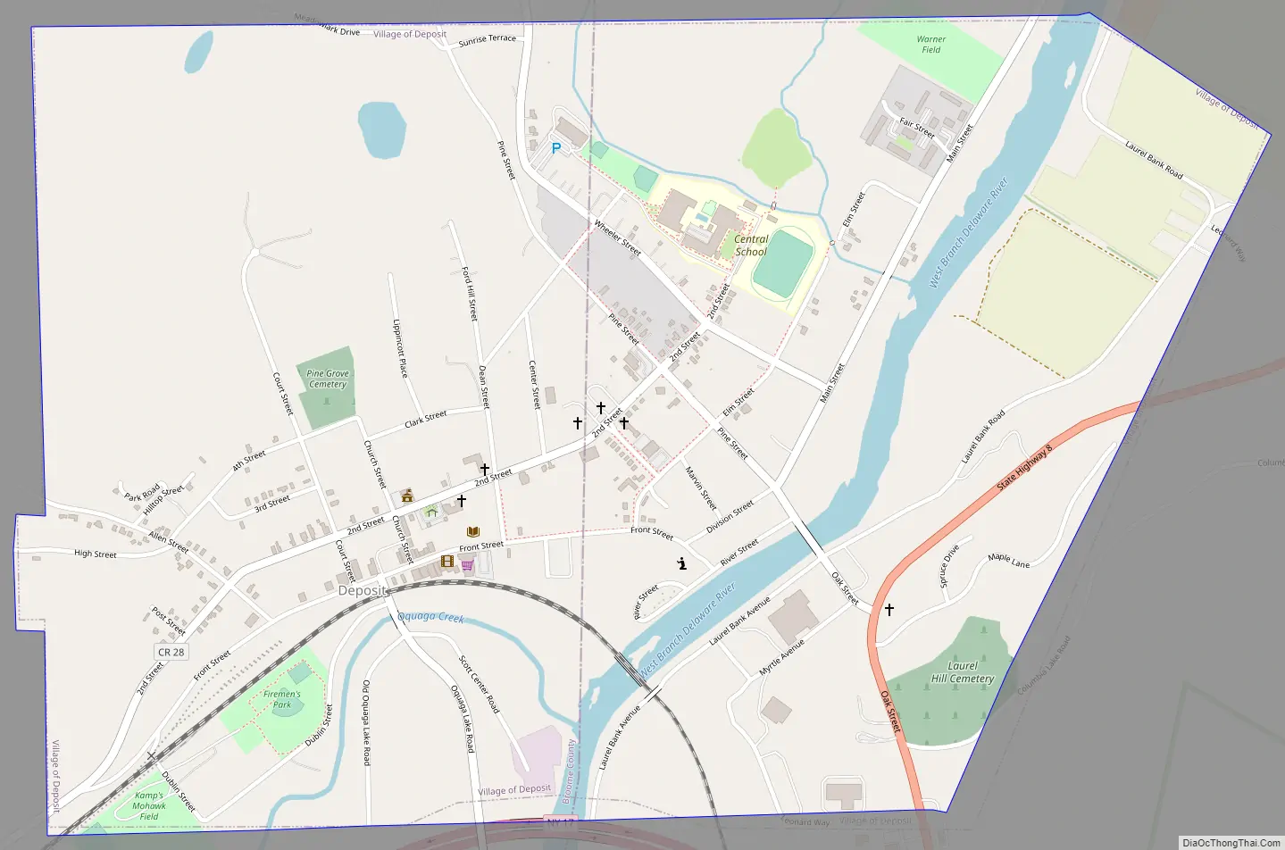
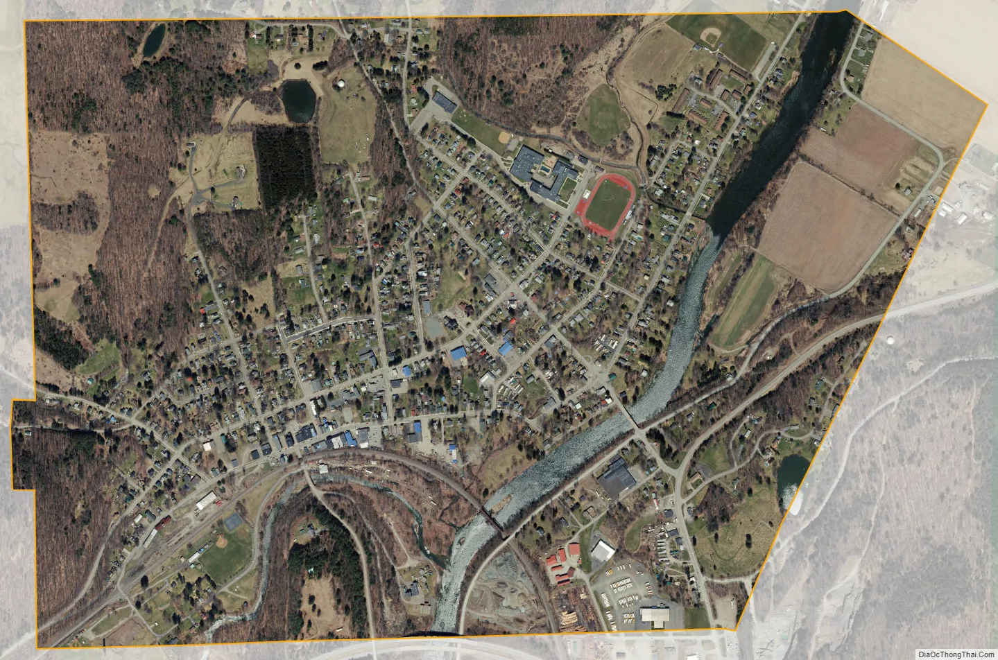
Deposit city Satellite Map
Geography
The village is located by the West Branch of the Delaware River and the Southern Tier Expressway (New York Route 17). The village is 30 miles (48 km) east of Binghamton and 3 miles (5 km) north of the Pennsylvania border.
Deposit is located at 42°3′43″N 75°25′24″W / 42.06194°N 75.42333°W / 42.06194; -75.42333 (42.061856, -75.423358).
According to the United States Census Bureau, the village has a total area of 1.3 square miles (3.4 km), of which 1.3 square miles (3.3 km) is land and 0.039 square miles (0.1 km), or 4.04%, is water.
See also
Map of New York State and its subdivision:- Albany
- Allegany
- Bronx
- Broome
- Cattaraugus
- Cayuga
- Chautauqua
- Chemung
- Chenango
- Clinton
- Columbia
- Cortland
- Delaware
- Dutchess
- Erie
- Essex
- Franklin
- Fulton
- Genesee
- Greene
- Hamilton
- Herkimer
- Jefferson
- Kings
- Lake Ontario
- Lewis
- Livingston
- Madison
- Monroe
- Montgomery
- Nassau
- New York
- Niagara
- Oneida
- Onondaga
- Ontario
- Orange
- Orleans
- Oswego
- Otsego
- Putnam
- Queens
- Rensselaer
- Richmond
- Rockland
- Saint Lawrence
- Saratoga
- Schenectady
- Schoharie
- Schuyler
- Seneca
- Steuben
- Suffolk
- Sullivan
- Tioga
- Tompkins
- Ulster
- Warren
- Washington
- Wayne
- Westchester
- Wyoming
- Yates
- Alabama
- Alaska
- Arizona
- Arkansas
- California
- Colorado
- Connecticut
- Delaware
- District of Columbia
- Florida
- Georgia
- Hawaii
- Idaho
- Illinois
- Indiana
- Iowa
- Kansas
- Kentucky
- Louisiana
- Maine
- Maryland
- Massachusetts
- Michigan
- Minnesota
- Mississippi
- Missouri
- Montana
- Nebraska
- Nevada
- New Hampshire
- New Jersey
- New Mexico
- New York
- North Carolina
- North Dakota
- Ohio
- Oklahoma
- Oregon
- Pennsylvania
- Rhode Island
- South Carolina
- South Dakota
- Tennessee
- Texas
- Utah
- Vermont
- Virginia
- Washington
- West Virginia
- Wisconsin
- Wyoming