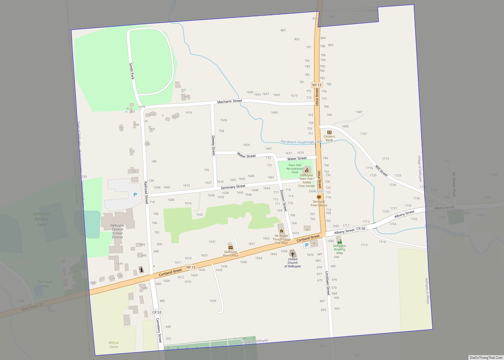
DeRuyter /dəˈraɪtər/ is a village located in the Town of DeRuyter in Madison County, New York, United States. The population was 558 at the 2010 census. The village and town are named after Michiel Adriaenszoon de Ruyter, a famous admiral in the Dutch navy.
The Village of DeRuyter is located in the southwestern corner of the town of DeRuyter on Route 13.
| Name: | DeRuyter village |
|---|---|
| LSAD Code: | 47 |
| LSAD Description: | village (suffix) |
| State: | New York |
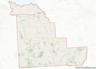
| County: | Madison County |
| Elevation: | 1,286 ft (392 m) |
| Total Area: | 0.37 sq mi (0.96 km²) |
| Land Area: | 0.37 sq mi (0.96 km²) |
| Water Area: | 0.00 sq mi (0.00 km²) |
| Total Population: | 408 |
| Population Density: | 1,105.69/sq mi (427.06/km²) |
| ZIP code: | 13052 |
| Area code: | 315 |
| FIPS code: | 3620390 |
| GNISfeature ID: | 0948102 |
| Website: | www.deruyternygov.us |
Online Interactive Map
Click on ![]() to view map in "full screen" mode.
to view map in "full screen" mode.
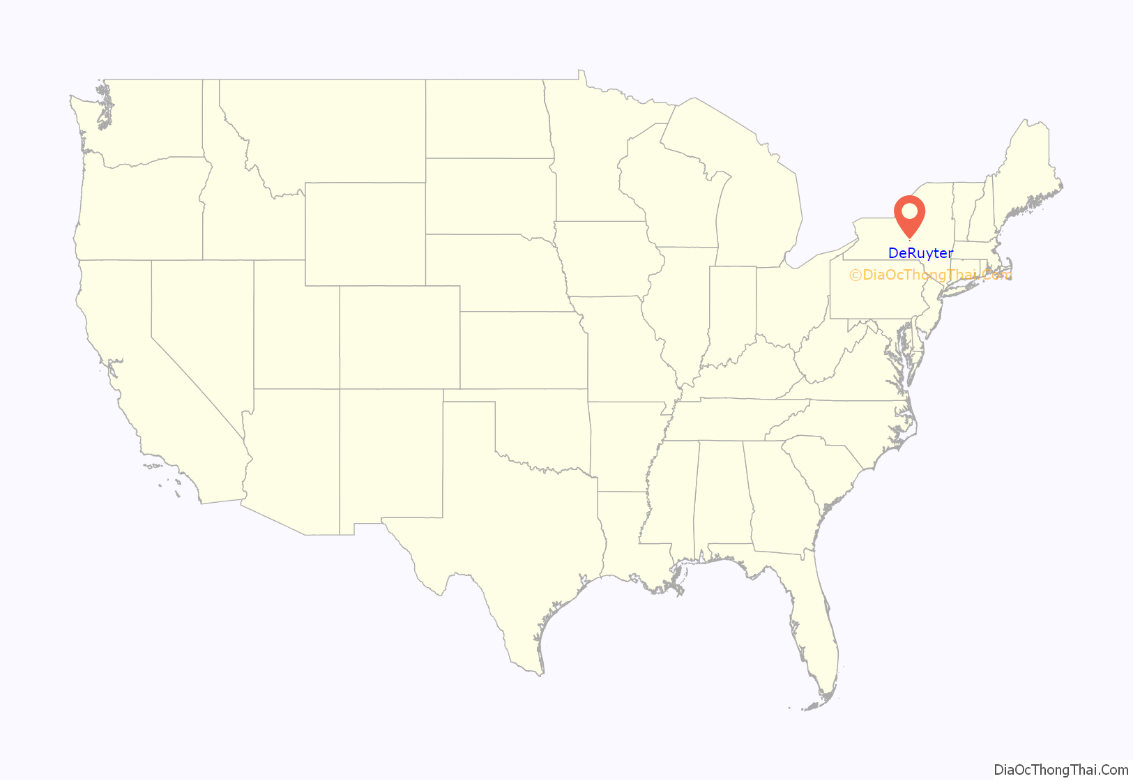
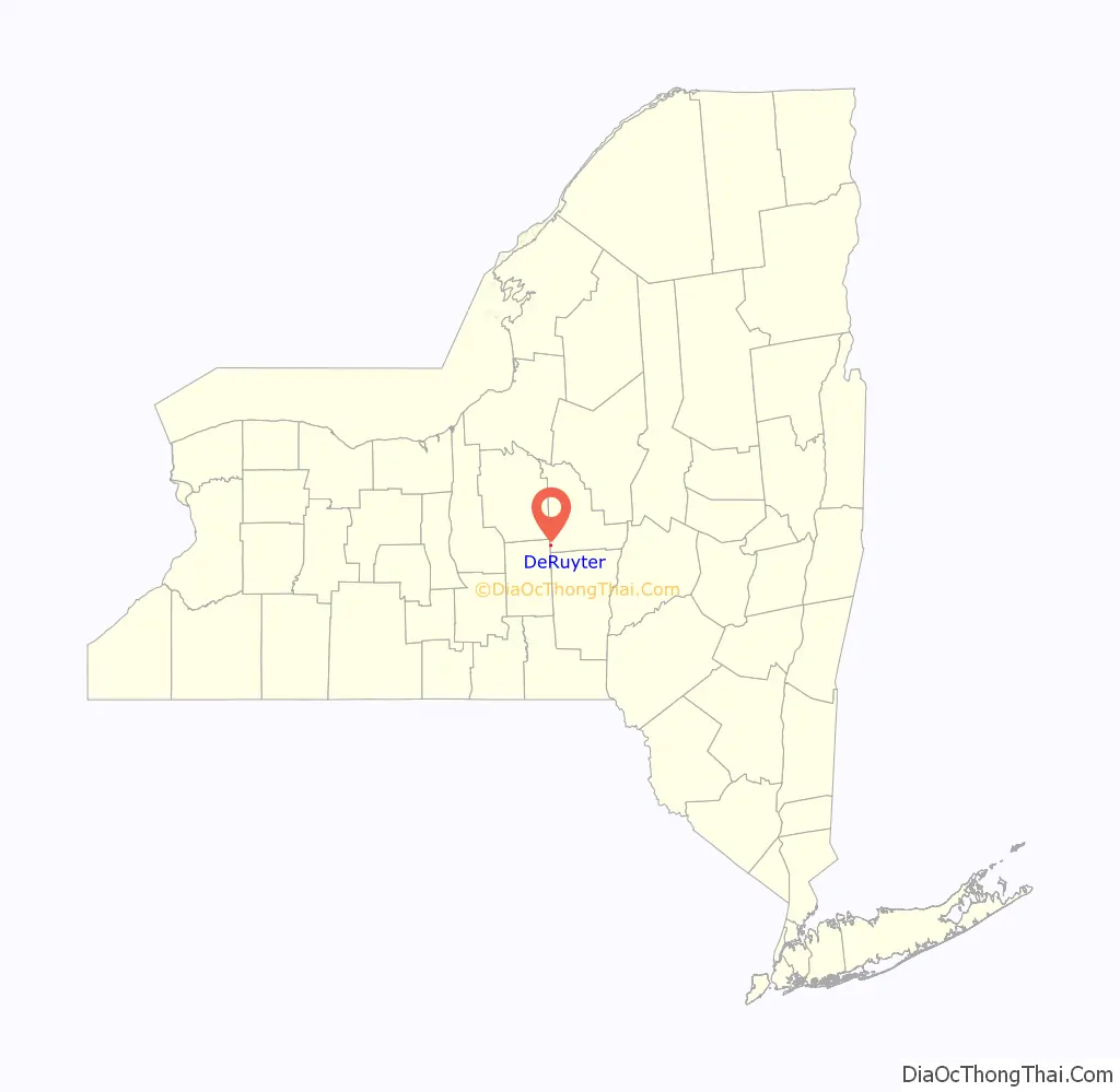
DeRuyter location map. Where is DeRuyter village?
History
The village of DeRuyter, incorporated in 1833, was originally called Tramptown. Jan Lincklaen, an agent for the Holland Land Co., whose territory included Cazenovia and areas south, named it.
The location of the village at the confluence of the four valleys, early made DeRuyter a center of trade and the railroad forming a part of the “old Midland,” running east and west, and the Cazenovia branch running north and south and now forming part of the Lehigh Valley system, furnish excellent facilities for trade and travel.
DeRuyter previous to 1795 was included in the ancient town of Whitestown, and formed a part of the famous “Lincklaen purchase.” It was embraced in Cazenovia when that town was formed in 1795, and Col. John Lincklaen gave it the name of Tromptown; but when the act was passed by Legislature, March 15, 1798, authorizing the formation of a new town, and Col. Lincklaen named it DeRuyter, after his illustrious countryman.
The building stock dates predominantly from the early to late Victorian period, the peak population and commercial era in DeRuyter’s history.
The Seventh Day Baptist Church was listed on the National Register of Historic Places in 2005.
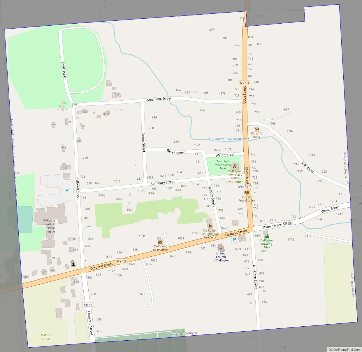
DeRuyter Road Map
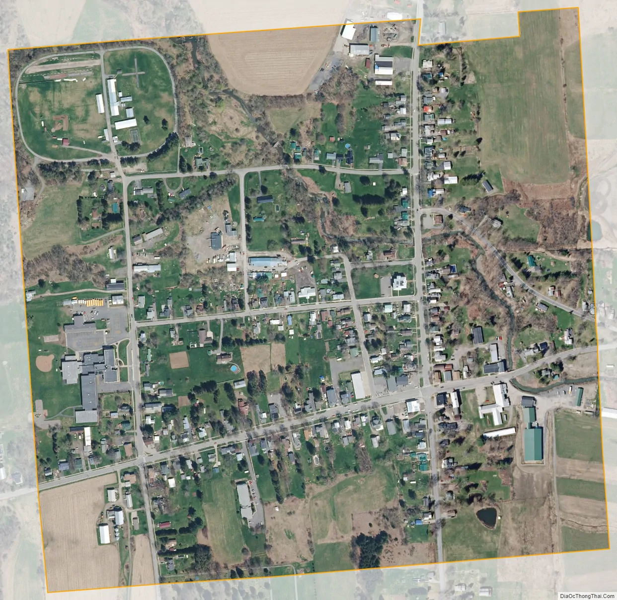
DeRuyter city Satellite Map
Geography
DeRuyter is located at 42°45′32″N 75°53′6″W / 42.75889°N 75.88500°W / 42.75889; -75.88500 (42.758925, -75.885114).
According to the United States Census Bureau, the village has a total area of 0.3 square mile (0.9 km), all land. There is a river that flows through the Village of DeRuyter.
See also
Map of New York State and its subdivision:- Albany
- Allegany
- Bronx
- Broome
- Cattaraugus
- Cayuga
- Chautauqua
- Chemung
- Chenango
- Clinton
- Columbia
- Cortland
- Delaware
- Dutchess
- Erie
- Essex
- Franklin
- Fulton
- Genesee
- Greene
- Hamilton
- Herkimer
- Jefferson
- Kings
- Lake Ontario
- Lewis
- Livingston
- Madison
- Monroe
- Montgomery
- Nassau
- New York
- Niagara
- Oneida
- Onondaga
- Ontario
- Orange
- Orleans
- Oswego
- Otsego
- Putnam
- Queens
- Rensselaer
- Richmond
- Rockland
- Saint Lawrence
- Saratoga
- Schenectady
- Schoharie
- Schuyler
- Seneca
- Steuben
- Suffolk
- Sullivan
- Tioga
- Tompkins
- Ulster
- Warren
- Washington
- Wayne
- Westchester
- Wyoming
- Yates
- Alabama
- Alaska
- Arizona
- Arkansas
- California
- Colorado
- Connecticut
- Delaware
- District of Columbia
- Florida
- Georgia
- Hawaii
- Idaho
- Illinois
- Indiana
- Iowa
- Kansas
- Kentucky
- Louisiana
- Maine
- Maryland
- Massachusetts
- Michigan
- Minnesota
- Mississippi
- Missouri
- Montana
- Nebraska
- Nevada
- New Hampshire
- New Jersey
- New Mexico
- New York
- North Carolina
- North Dakota
- Ohio
- Oklahoma
- Oregon
- Pennsylvania
- Rhode Island
- South Carolina
- South Dakota
- Tennessee
- Texas
- Utah
- Vermont
- Virginia
- Washington
- West Virginia
- Wisconsin
- Wyoming