East Kingston is a hamlet (and census-designated place) in Ulster County, New York, United States. The population was 277 at the 2020 census.
East Kingston is located in the southeastern corner of the Town of Ulster. The community is immediately north of the City of Kingston.
| Name: | East Kingston CDP |
|---|---|
| LSAD Code: | 57 |
| LSAD Description: | CDP (suffix) |
| State: | New York |
| County: | Ulster County |
| Elevation: | 151 ft (46 m) |
| Total Area: | 0.70 sq mi (1.80 km²) |
| Land Area: | 0.67 sq mi (1.75 km²) |
| Water Area: | 0.02 sq mi (0.06 km²) |
| Total Population: | 277 |
| Population Density: | 410.98/sq mi (158.72/km²) |
| FIPS code: | 3622370 |
| GNISfeature ID: | 0949148 |
Online Interactive Map
Click on ![]() to view map in "full screen" mode.
to view map in "full screen" mode.
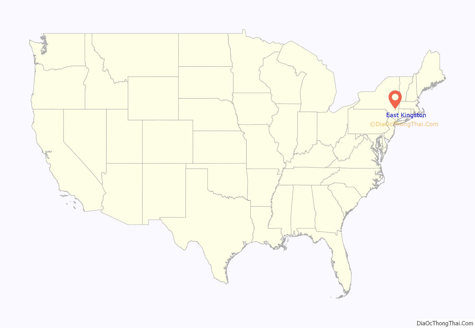
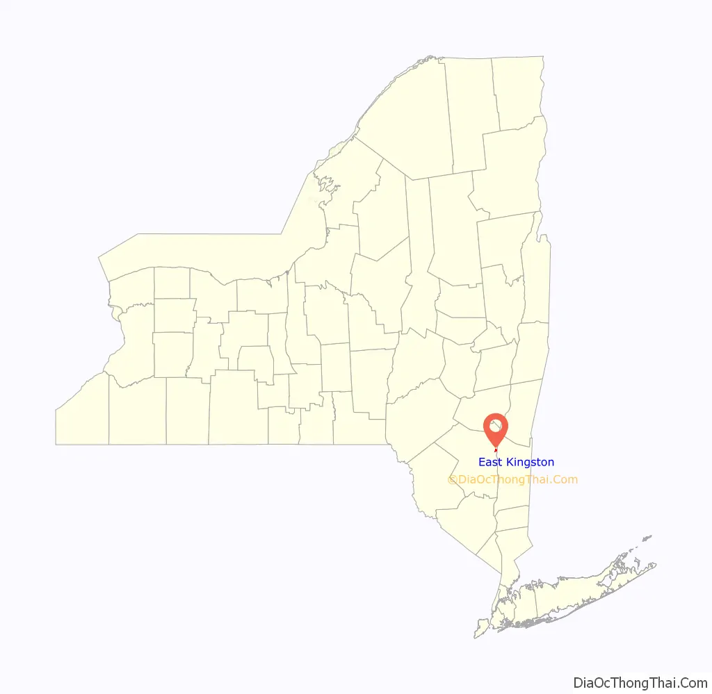
East Kingston location map. Where is East Kingston CDP?
History
St. Colman’s Church
St. Colman’s Church was built in 1874 by Rev. M.C. O’Farrell of Rondout. The church is constructed of stone and brick and in the Gothic style and seats about 250 parishioners. In 1892, an annex was added by Dr. Burtsell of Rondout. In 1904 the mission became a parish of the Archdiocese of New York. Rev. Robert A. Weir was appointed the first resident pastor.
in 2015 the parish of St. Colman merged with Saint Catherine Laboure Church in Lake Katrine, but continues to offer weekly Mass.
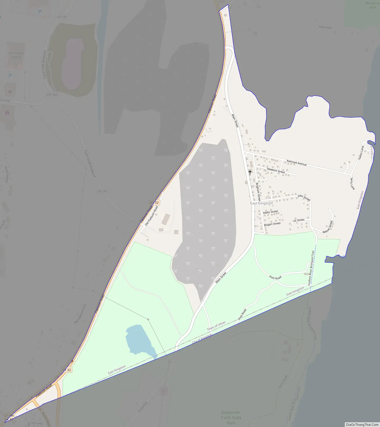
East Kingston Road Map
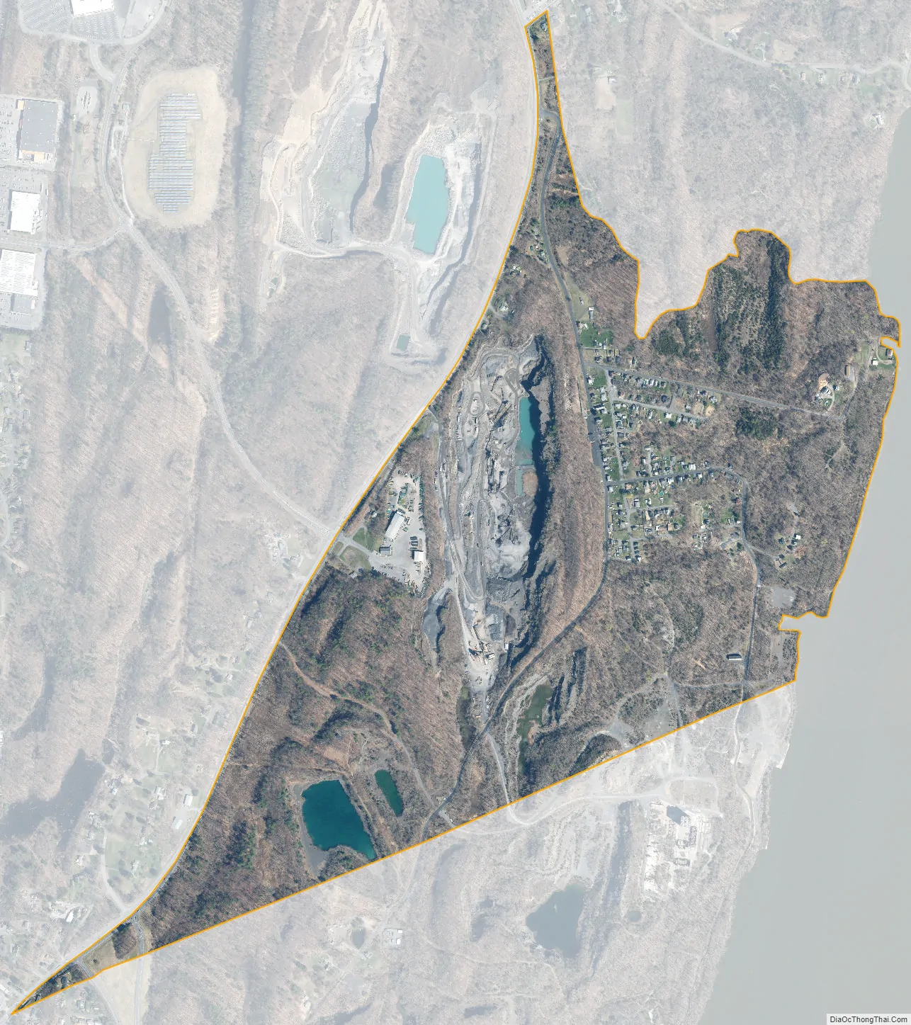
East Kingston city Satellite Map
Geography
East Kingston is located at 41°57′08″N 73°58′23″W / 41.952296°N 73.973187°W / 41.952296; -73.973187.
According to the United States Census Bureau, the CDP has a total area of 0.7 square miles (1.8 km), all land.
The community is adjacent to the Hudson River.
See also
Map of New York State and its subdivision:- Albany
- Allegany
- Bronx
- Broome
- Cattaraugus
- Cayuga
- Chautauqua
- Chemung
- Chenango
- Clinton
- Columbia
- Cortland
- Delaware
- Dutchess
- Erie
- Essex
- Franklin
- Fulton
- Genesee
- Greene
- Hamilton
- Herkimer
- Jefferson
- Kings
- Lake Ontario
- Lewis
- Livingston
- Madison
- Monroe
- Montgomery
- Nassau
- New York
- Niagara
- Oneida
- Onondaga
- Ontario
- Orange
- Orleans
- Oswego
- Otsego
- Putnam
- Queens
- Rensselaer
- Richmond
- Rockland
- Saint Lawrence
- Saratoga
- Schenectady
- Schoharie
- Schuyler
- Seneca
- Steuben
- Suffolk
- Sullivan
- Tioga
- Tompkins
- Ulster
- Warren
- Washington
- Wayne
- Westchester
- Wyoming
- Yates
- Alabama
- Alaska
- Arizona
- Arkansas
- California
- Colorado
- Connecticut
- Delaware
- District of Columbia
- Florida
- Georgia
- Hawaii
- Idaho
- Illinois
- Indiana
- Iowa
- Kansas
- Kentucky
- Louisiana
- Maine
- Maryland
- Massachusetts
- Michigan
- Minnesota
- Mississippi
- Missouri
- Montana
- Nebraska
- Nevada
- New Hampshire
- New Jersey
- New Mexico
- New York
- North Carolina
- North Dakota
- Ohio
- Oklahoma
- Oregon
- Pennsylvania
- Rhode Island
- South Carolina
- South Dakota
- Tennessee
- Texas
- Utah
- Vermont
- Virginia
- Washington
- West Virginia
- Wisconsin
- Wyoming


