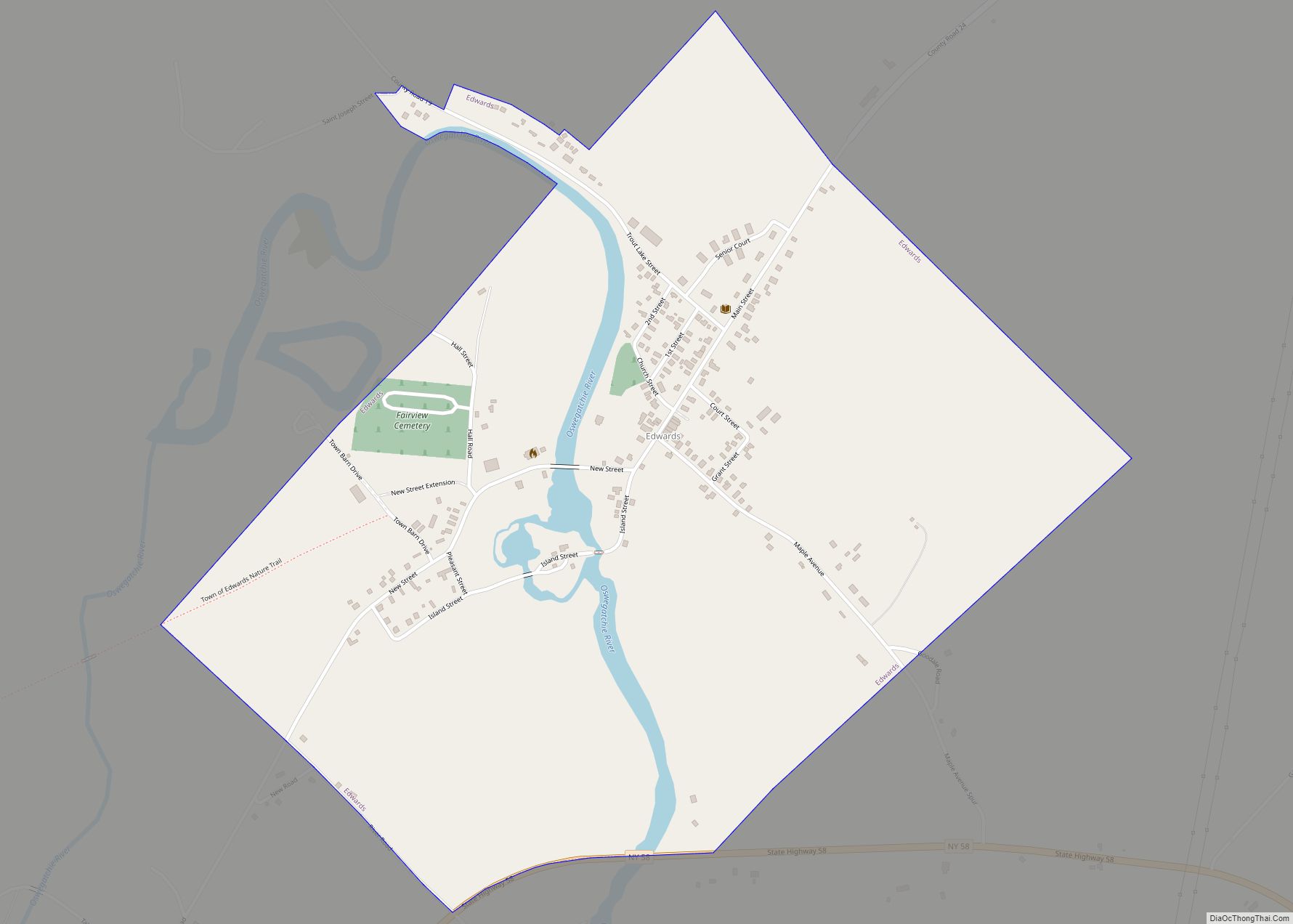
Edwards is a hamlet (and census-designated place) in St. Lawrence County, New York, United States. The population was 439 at the 2010 census. It was an incorporated village until dissolution in 2012.
The hamlet is in the northeast corner of the Town of Edwards. Both the former village and surrounding town are near the south county line.
| Name: | Edwards CDP |
|---|---|
| LSAD Code: | 57 |
| LSAD Description: | CDP (suffix) |
| State: | New York |
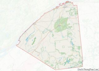
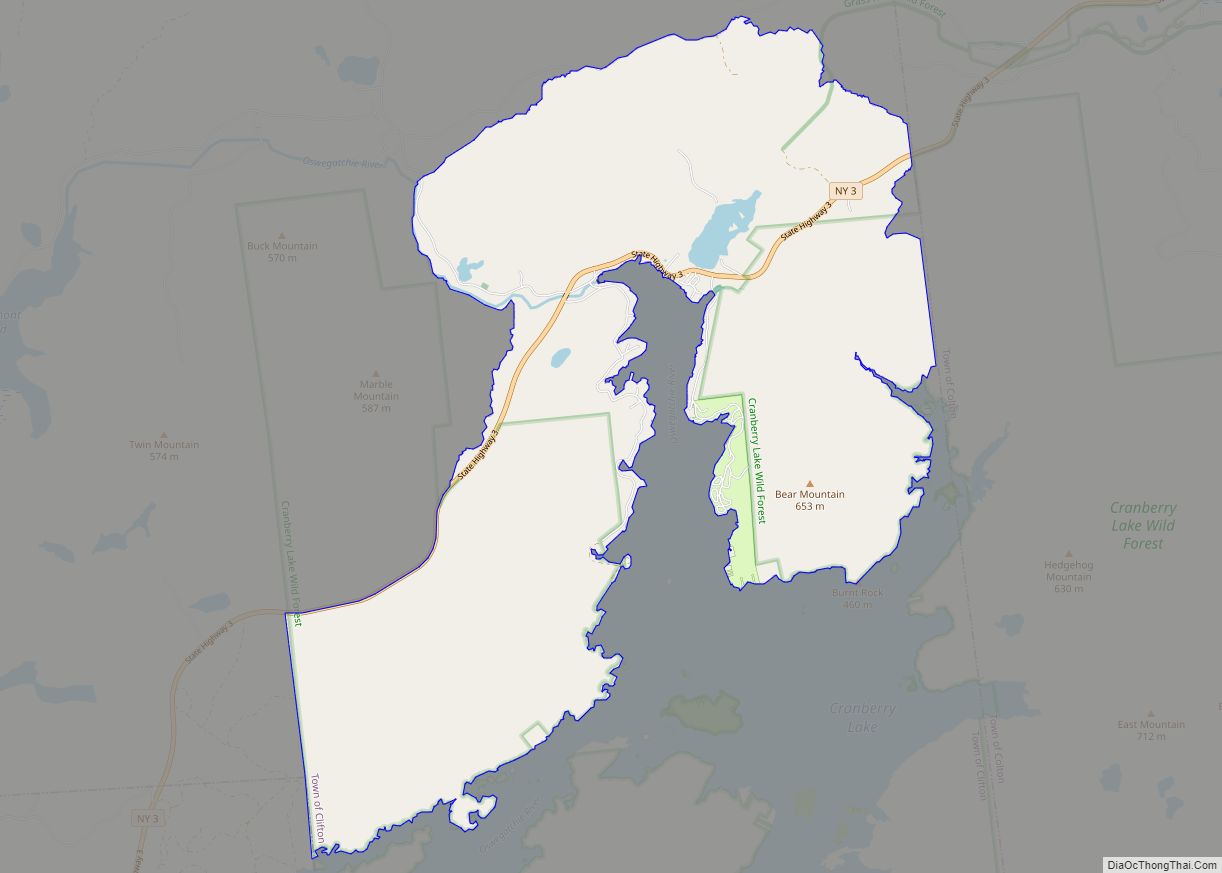
| County: | St. Lawrence County |
| Elevation: | 669 ft (204 m) |
| Total Area: | 0.96 sq mi (2.49 km²) |
| Land Area: | 0.93 sq mi (2.40 km²) |
| Water Area: | 0.04 sq mi (0.10 km²) |
| Total Population: | 361 |
| Population Density: | 390.27/sq mi (150.70/km²) |
| FIPS code: | 3623635 |
| GNISfeature ID: | 2761297 |
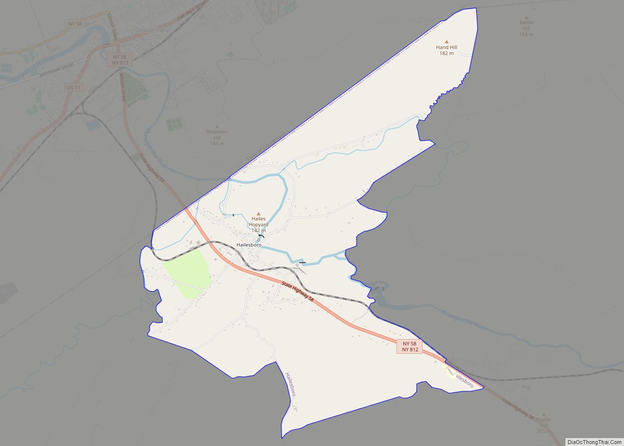
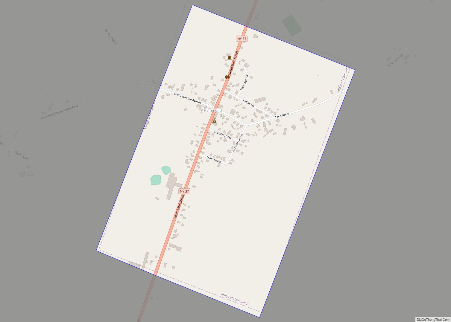
Online Interactive Map
Click on ![]() to view map in "full screen" mode.
to view map in "full screen" mode.
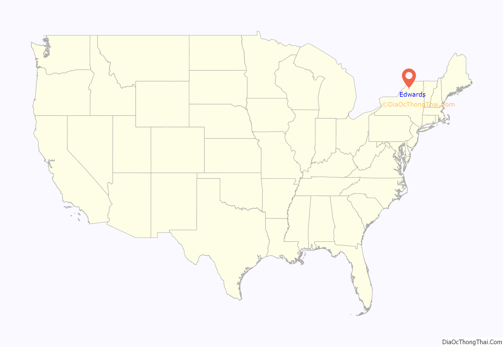
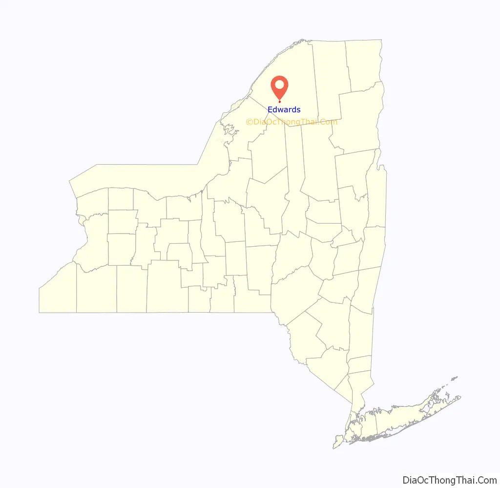
Edwards location map. Where is Edwards CDP?
History
The village was originally settled on a river island, but expanded onto the mainland to take advantage of the “Russell Turnpike,” a military road. The first structure, a grist mill, was erected in the future village in 1814, giving the future village its first name “Sheads Mill.”
A destructive fire in 1894 destroyed much of the village.
On Tuesday, March 15, 2011, village voters decided to dissolve the village into the surrounding town by a vote of 55 to 9 in favor. The village was dissolved on December 31, 2012, and on January 1, 2013, the Town of Edwards assumed responsibility for the former village.
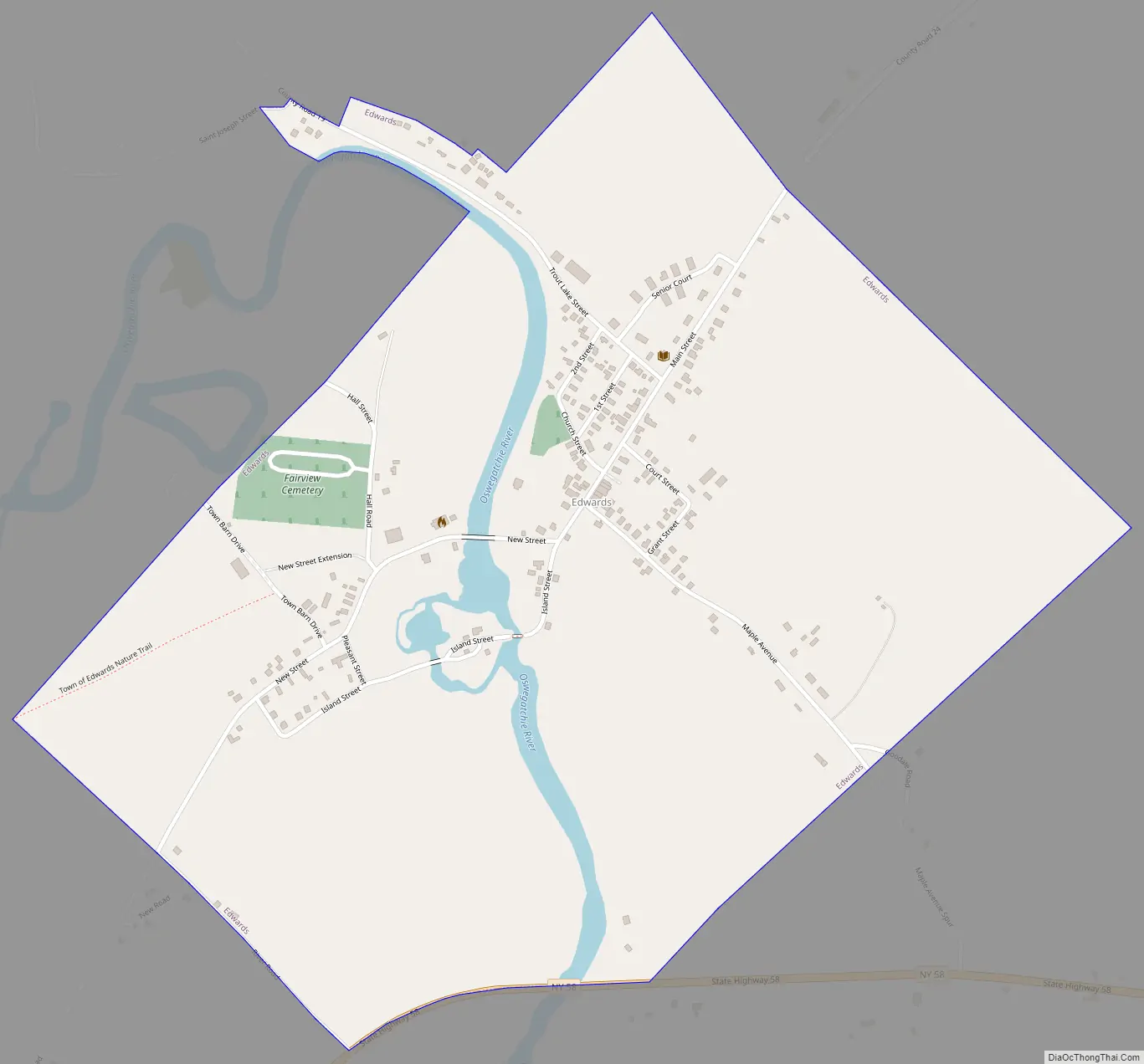
Edwards Road Map
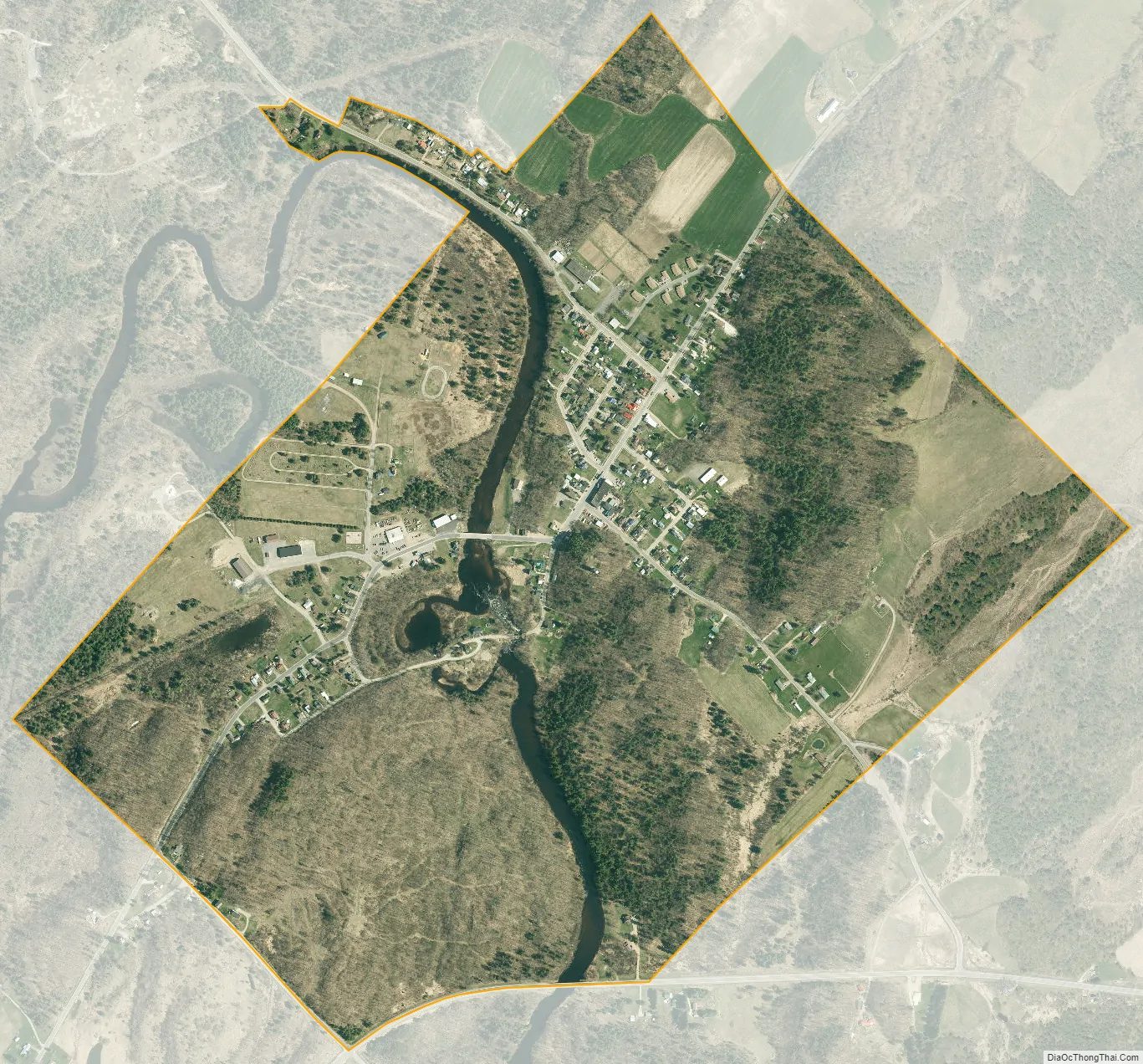
Edwards city Satellite Map
Geography
Edwards is located at 44°19′25″N 75°15′10″W / 44.32361°N 75.25278°W / 44.32361; -75.25278 (44.323659, -75.252926).
According to the United States Census Bureau, the village has a total area of 1.0 square mile (2.6 km), of which 1.0 square mile (2.5 km) is land and 1.01% is water.
The village is by the junction of County Roads 19 and 24, north of New York State Route 58.
The Oswegatchie River flows westward past the village.
See also
Map of New York State and its subdivision:- Albany
- Allegany
- Bronx
- Broome
- Cattaraugus
- Cayuga
- Chautauqua
- Chemung
- Chenango
- Clinton
- Columbia
- Cortland
- Delaware
- Dutchess
- Erie
- Essex
- Franklin
- Fulton
- Genesee
- Greene
- Hamilton
- Herkimer
- Jefferson
- Kings
- Lake Ontario
- Lewis
- Livingston
- Madison
- Monroe
- Montgomery
- Nassau
- New York
- Niagara
- Oneida
- Onondaga
- Ontario
- Orange
- Orleans
- Oswego
- Otsego
- Putnam
- Queens
- Rensselaer
- Richmond
- Rockland
- Saint Lawrence
- Saratoga
- Schenectady
- Schoharie
- Schuyler
- Seneca
- Steuben
- Suffolk
- Sullivan
- Tioga
- Tompkins
- Ulster
- Warren
- Washington
- Wayne
- Westchester
- Wyoming
- Yates
- Alabama
- Alaska
- Arizona
- Arkansas
- California
- Colorado
- Connecticut
- Delaware
- District of Columbia
- Florida
- Georgia
- Hawaii
- Idaho
- Illinois
- Indiana
- Iowa
- Kansas
- Kentucky
- Louisiana
- Maine
- Maryland
- Massachusetts
- Michigan
- Minnesota
- Mississippi
- Missouri
- Montana
- Nebraska
- Nevada
- New Hampshire
- New Jersey
- New Mexico
- New York
- North Carolina
- North Dakota
- Ohio
- Oklahoma
- Oregon
- Pennsylvania
- Rhode Island
- South Carolina
- South Dakota
- Tennessee
- Texas
- Utah
- Vermont
- Virginia
- Washington
- West Virginia
- Wisconsin
- Wyoming