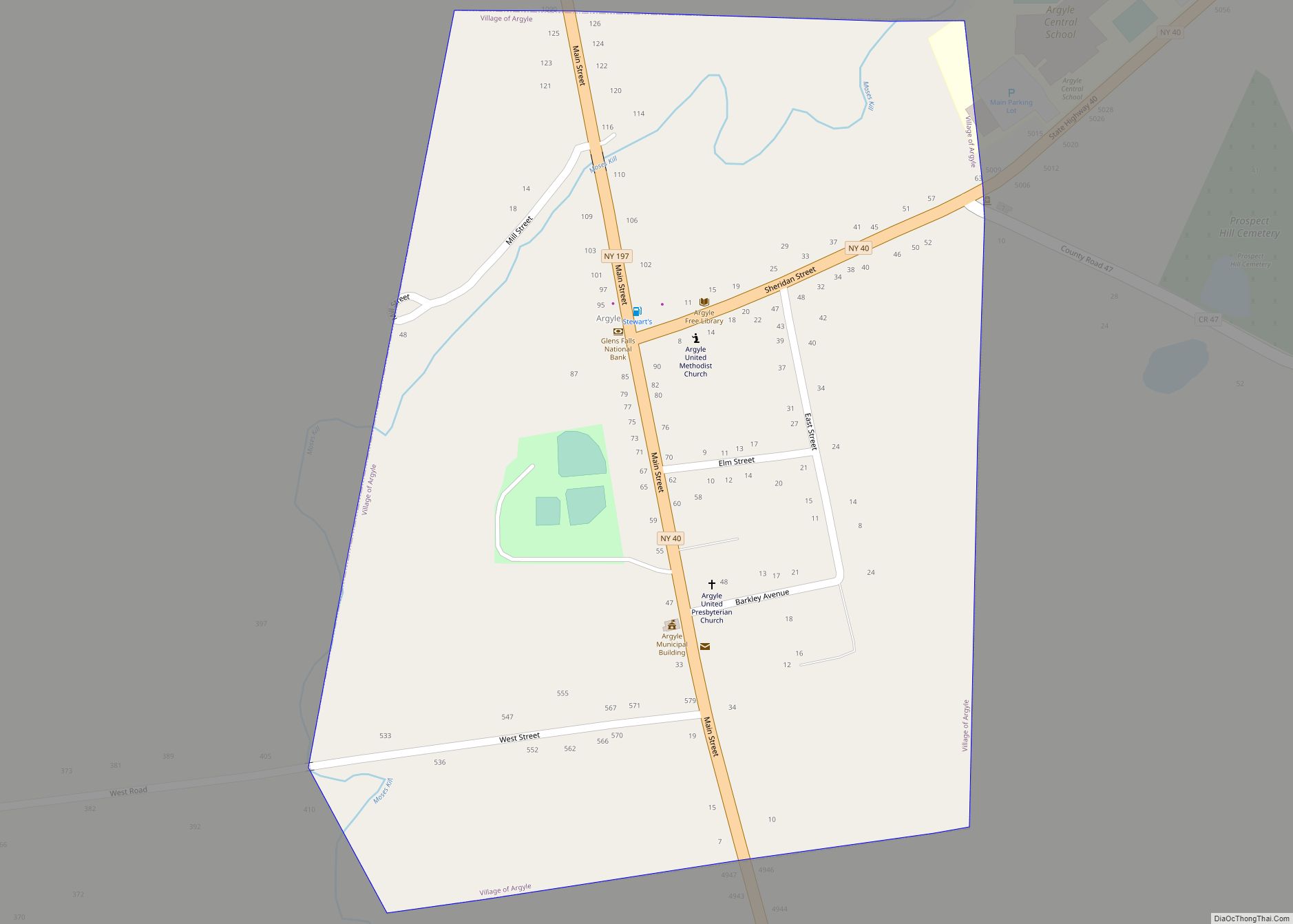
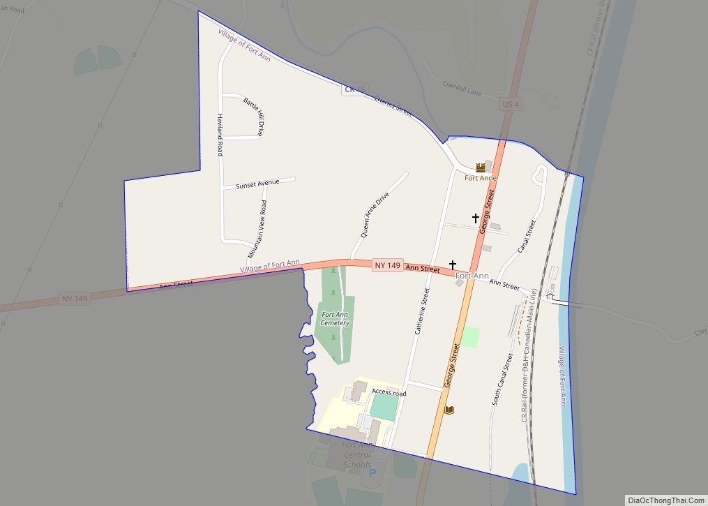
Fort Ann is a village in Washington County, New York, United States. It is part of the Glens Falls Metropolitan Statistical Area. The village population was 484 at the 2010 census. The name is derived indirectly from Queen Anne and the local fortification built in 1757 and named after her.
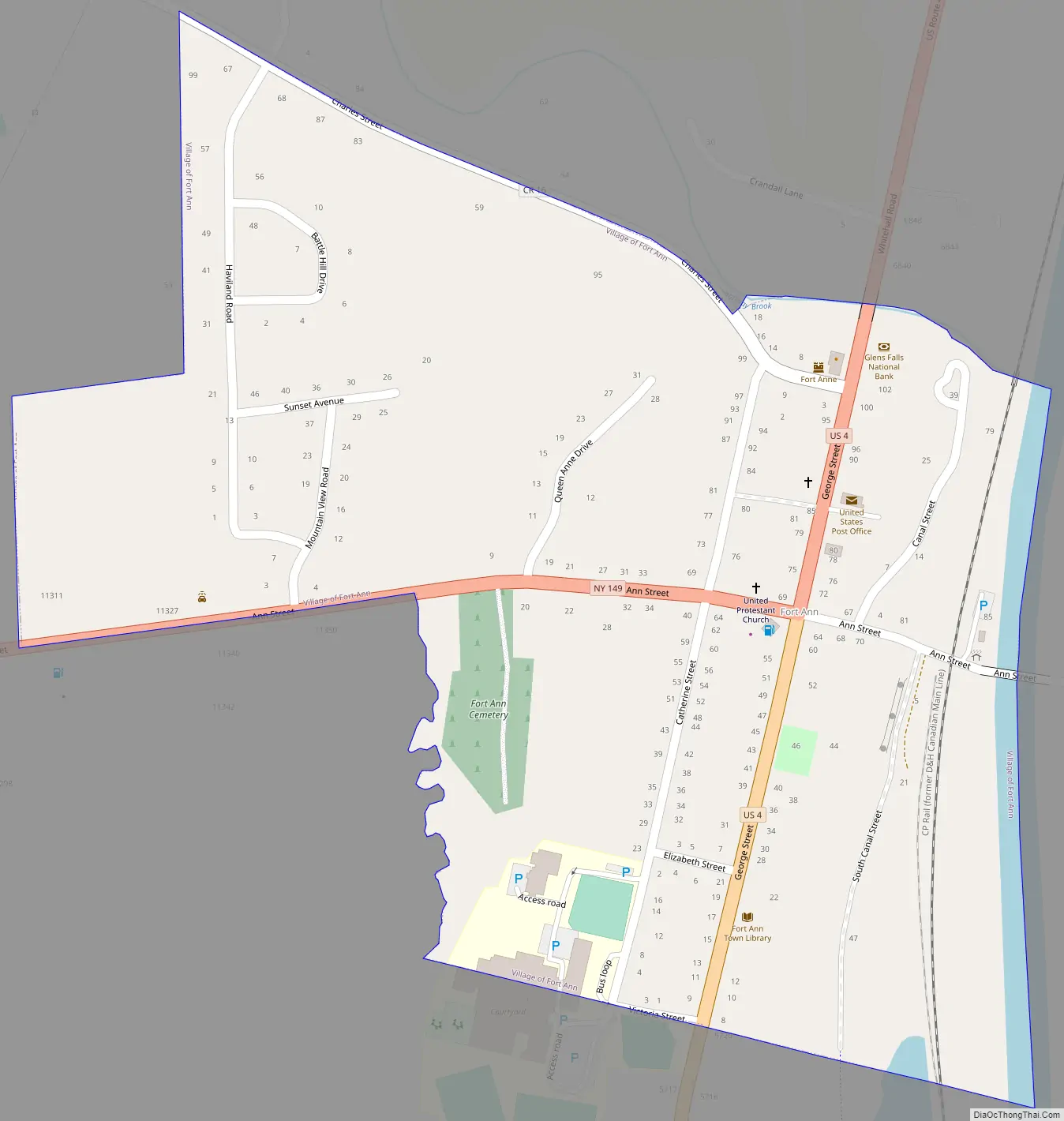
The village of Fort Ann is part of the town of Fort Ann at the junction of U.S. Route 4 and New York State Route 149.
| Name: | Fort Ann village |
|---|---|
| LSAD Code: | 47 |
| LSAD Description: | village (suffix) |
| State: | New York |
| County: | Washington County |
| Incorporated: | 1820 |
| Elevation: | 157 ft (48 m) |
| Total Area: | 0.29 sq mi (0.76 km²) |
| Land Area: | 0.29 sq mi (0.74 km²) |
| Water Area: | 0.01 sq mi (0.02 km²) |
| Total Population: | 460 |
| Population Density: | 1,608.39/sq mi (621.99/km²) |
| ZIP code: | 12827 |
| Area code: | 518 |
| FIPS code: | 3626704 |
| GNISfeature ID: | 0950461 |
| Website: | www.fortann.us |
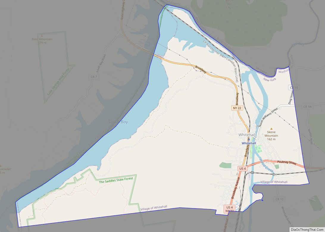
Online Interactive Map
Click on ![]() to view map in "full screen" mode.
to view map in "full screen" mode.
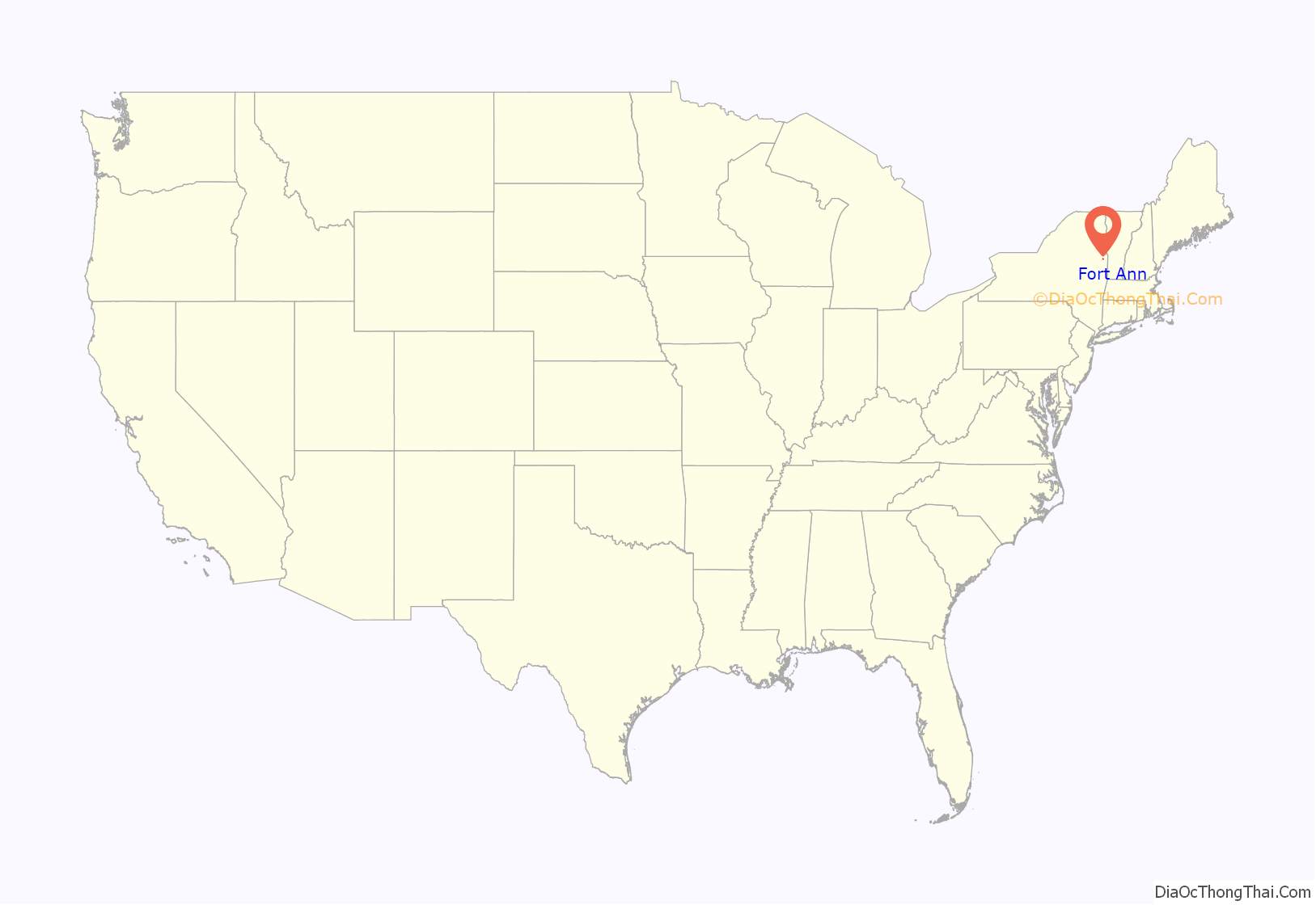
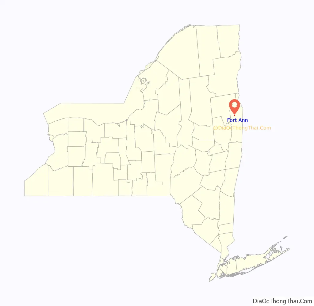
Fort Ann location map. Where is Fort Ann village?
History
The area was the location of several military forts, built from 1690 to 1777. The first was constructed during King William’s War and the last during the American Revolution. Two early forts were called “Fort Schuyler” and the “Queen’s Fort.” Also Fort Ann was the site of the 1777 Battle of Fort Anne during the Saratoga Campaign.
The village was incorporated in 1820. The Champlain Canal, completed in 1823, passes through the village. Later, the Delaware & Hudson Railroad came.
Old Stone House Library was added to the National Register of Historic Places in 2012.
Fort Ann Road Map
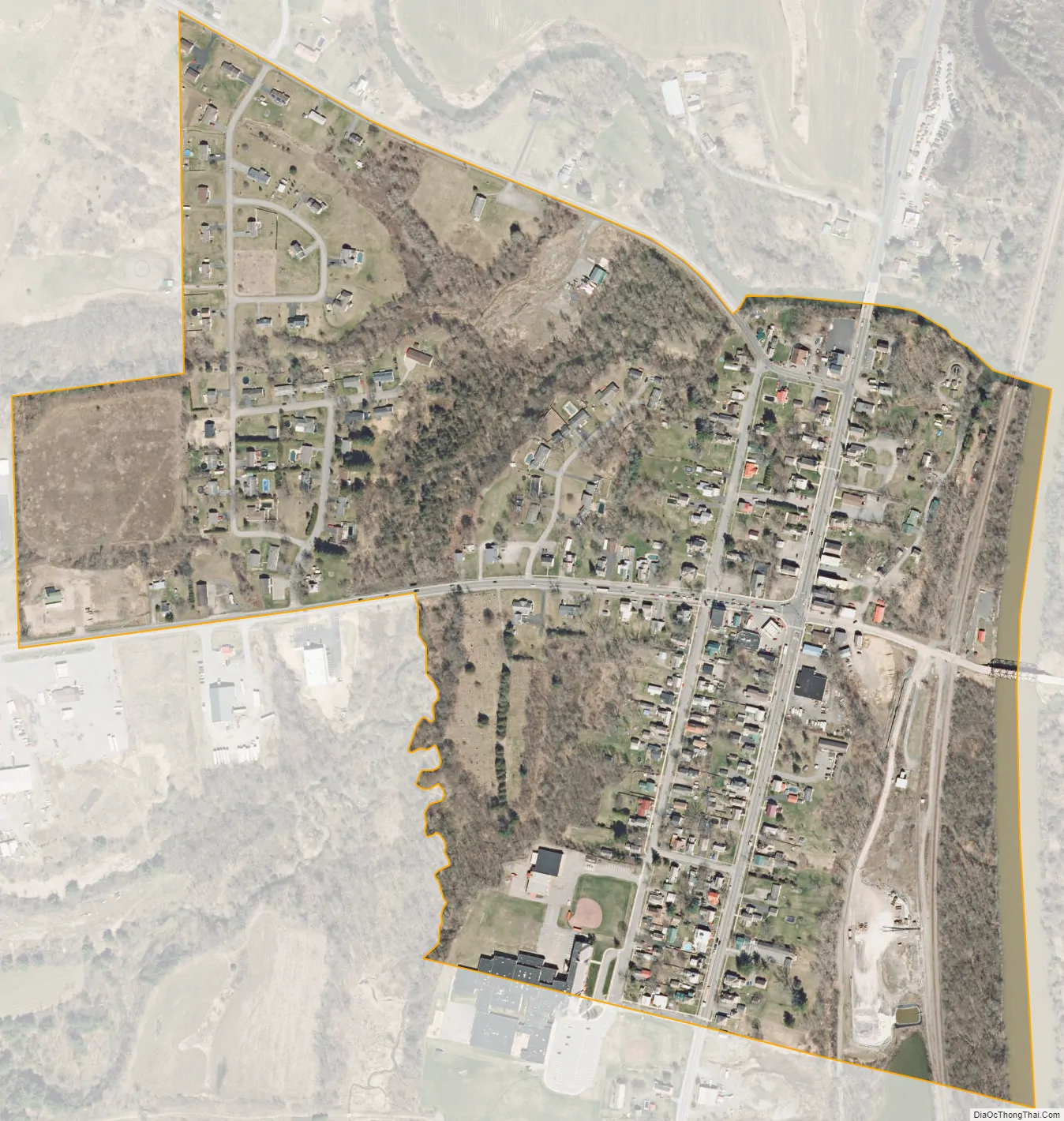
Fort Ann city Satellite Map
Geography
According to the United States Census Bureau, the village has a total area of 0.3 square miles (0.78 km), all land.
Fort Ann is located adjacent to the town lines of Kingsbury and Hartford.
In addition to U.S. 4 and NY 149, County Road 4 enters the village.
See also
Map of New York State and its subdivision:- Albany
- Allegany
- Bronx
- Broome
- Cattaraugus
- Cayuga
- Chautauqua
- Chemung
- Chenango
- Clinton
- Columbia
- Cortland
- Delaware
- Dutchess
- Erie
- Essex
- Franklin
- Fulton
- Genesee
- Greene
- Hamilton
- Herkimer
- Jefferson
- Kings
- Lake Ontario
- Lewis
- Livingston
- Madison
- Monroe
- Montgomery
- Nassau
- New York
- Niagara
- Oneida
- Onondaga
- Ontario
- Orange
- Orleans
- Oswego
- Otsego
- Putnam
- Queens
- Rensselaer
- Richmond
- Rockland
- Saint Lawrence
- Saratoga
- Schenectady
- Schoharie
- Schuyler
- Seneca
- Steuben
- Suffolk
- Sullivan
- Tioga
- Tompkins
- Ulster
- Warren
- Washington
- Wayne
- Westchester
- Wyoming
- Yates
- Alabama
- Alaska
- Arizona
- Arkansas
- California
- Colorado
- Connecticut
- Delaware
- District of Columbia
- Florida
- Georgia
- Hawaii
- Idaho
- Illinois
- Indiana
- Iowa
- Kansas
- Kentucky
- Louisiana
- Maine
- Maryland
- Massachusetts
- Michigan
- Minnesota
- Mississippi
- Missouri
- Montana
- Nebraska
- Nevada
- New Hampshire
- New Jersey
- New Mexico
- New York
- North Carolina
- North Dakota
- Ohio
- Oklahoma
- Oregon
- Pennsylvania
- Rhode Island
- South Carolina
- South Dakota
- Tennessee
- Texas
- Utah
- Vermont
- Virginia
- Washington
- West Virginia
- Wisconsin
- Wyoming