Freedom Plains is a hamlet and census-designated place (CDP) in Dutchess County, New York, United States. As of the 2010 census the population was 421.
| Name: | Freedom Plains CDP |
|---|---|
| LSAD Code: | 57 |
| LSAD Description: | CDP (suffix) |
| State: | New York |
| County: | Dutchess County |
| Elevation: | 315 ft (96 m) |
| Total Area: | 1.33 sq mi (3.46 km²) |
| Land Area: | 1.29 sq mi (3.34 km²) |
| Water Area: | 0.04 sq mi (0.11 km²) |
| Total Population: | 438 |
| Population Density: | 339.27/sq mi (131.04/km²) |
| ZIP code: | 12540 |
| Area code: | 845 |
| FIPS code: | 3627452 |
| GNISfeature ID: | 0950660 |
Online Interactive Map
Click on ![]() to view map in "full screen" mode.
to view map in "full screen" mode.
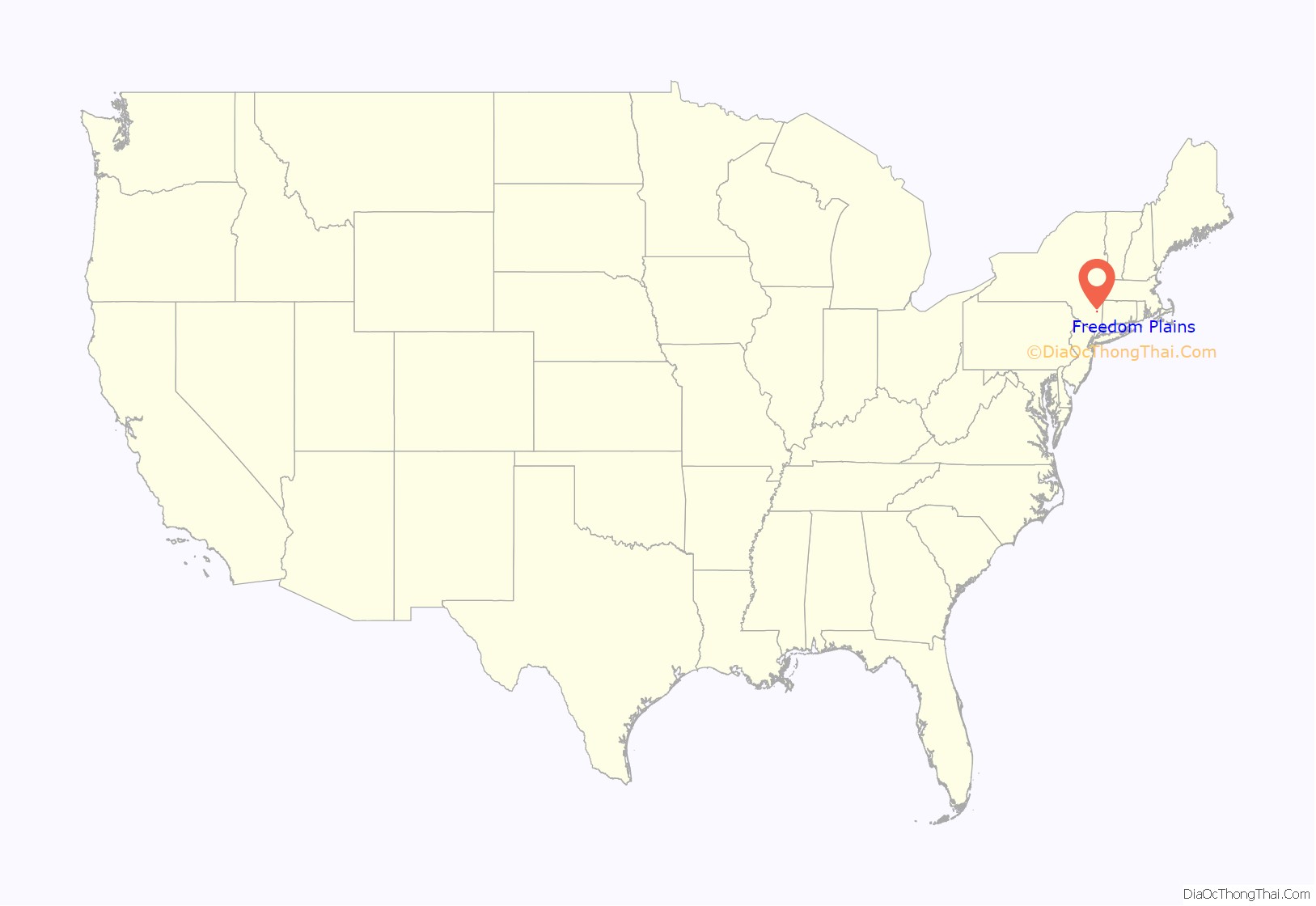
Freedom Plains location map. Where is Freedom Plains CDP?
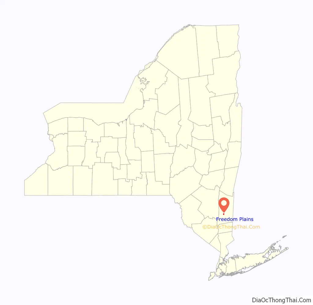
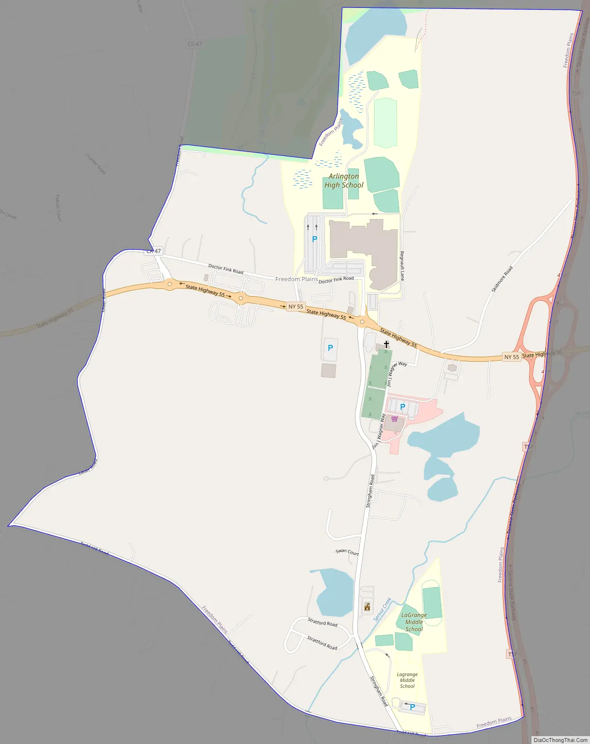
Freedom Plains Road Map
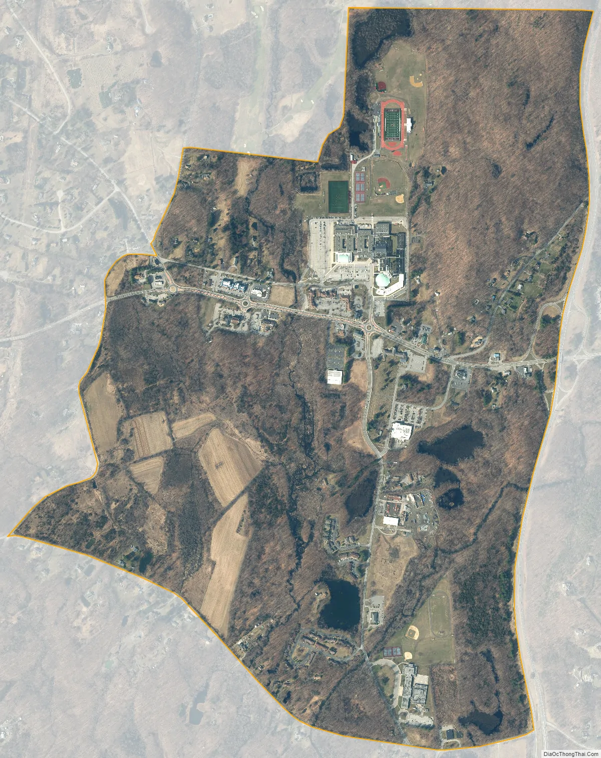
Freedom Plains city Satellite Map
Geography
Freedom Plains is in the center of the town of LaGrange, in the south-central part of Dutchess County. New York State Route 55 passes through the hamlet, leading west 7 miles (11 km) to Poughkeepsie, the county seat, and southeast 13 miles (21 km) to Pawling. The Taconic State Parkway forms the eastern edge of Freedom Plains, leading north 57 miles (92 km) to its end at Interstate 90 and south 70 miles (110 km) to New York City. The CDP is bordered to the north by James Baird State Park.
According to the U.S. Census Bureau, the Freedom Plains CDP has a total area of 1.33 square miles (3.45 km), of which 1.29 square miles (3.34 km) is land and 0.042 square miles (0.11 km), or 3.30%, is water.
See also
Map of New York State and its subdivision:- Albany
- Allegany
- Bronx
- Broome
- Cattaraugus
- Cayuga
- Chautauqua
- Chemung
- Chenango
- Clinton
- Columbia
- Cortland
- Delaware
- Dutchess
- Erie
- Essex
- Franklin
- Fulton
- Genesee
- Greene
- Hamilton
- Herkimer
- Jefferson
- Kings
- Lake Ontario
- Lewis
- Livingston
- Madison
- Monroe
- Montgomery
- Nassau
- New York
- Niagara
- Oneida
- Onondaga
- Ontario
- Orange
- Orleans
- Oswego
- Otsego
- Putnam
- Queens
- Rensselaer
- Richmond
- Rockland
- Saint Lawrence
- Saratoga
- Schenectady
- Schoharie
- Schuyler
- Seneca
- Steuben
- Suffolk
- Sullivan
- Tioga
- Tompkins
- Ulster
- Warren
- Washington
- Wayne
- Westchester
- Wyoming
- Yates
- Alabama
- Alaska
- Arizona
- Arkansas
- California
- Colorado
- Connecticut
- Delaware
- District of Columbia
- Florida
- Georgia
- Hawaii
- Idaho
- Illinois
- Indiana
- Iowa
- Kansas
- Kentucky
- Louisiana
- Maine
- Maryland
- Massachusetts
- Michigan
- Minnesota
- Mississippi
- Missouri
- Montana
- Nebraska
- Nevada
- New Hampshire
- New Jersey
- New Mexico
- New York
- North Carolina
- North Dakota
- Ohio
- Oklahoma
- Oregon
- Pennsylvania
- Rhode Island
- South Carolina
- South Dakota
- Tennessee
- Texas
- Utah
- Vermont
- Virginia
- Washington
- West Virginia
- Wisconsin
- Wyoming


