Goshen is a village in and the county seat of Orange County, New York, United States. The population was 5,777 at the 2020 census. It is part of the Poughkeepsie–Newburgh–Middletown metropolitan area as well as the larger New York metropolitan area.
The village is within the town of Goshen, some fifty miles northwest of New York City, on New York State Route 17 in the center of Orange County. Goshen is the home of the Harness Racing Museum & Hall of Fame, and hosted harness racing’s top event, the Hambletonian, from 1930 to 1956, at the former Good Time Park. Racing is still held at the Historic Track, a National Historic Landmark in the center of the village.
| Name: | Goshen village |
|---|---|
| LSAD Code: | 47 |
| LSAD Description: | village (suffix) |
| State: | New York |
| County: | Orange County |
| Incorporated: | 1809 |
| Elevation: | 440 ft (130 m) |
| Total Area: | 3.32 sq mi (8.60 km²) |
| Land Area: | 3.32 sq mi (8.60 km²) |
| Water Area: | 0.00 sq mi (0.00 km²) 0% |
| Total Population: | 5,777 |
| Population Density: | 1,740.06/sq mi (671.77/km²) |
| ZIP code: | 10924 |
| Area code: | 845 |
| FIPS code: | 3629542 |
| Website: | www.villageofgoshen-ny.gov |
Online Interactive Map
Click on ![]() to view map in "full screen" mode.
to view map in "full screen" mode.
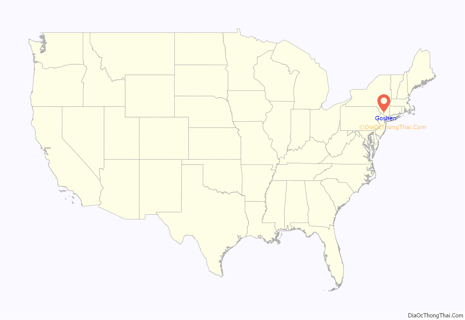
Goshen location map. Where is Goshen village?
History
The village was settled in 1714 and incorporated on March 28, 1809. In 1727 it was declared the “half-shire town” of Orange County, a predecessor to its current status as county seat. It did not take on that full status, however, until Rockland County was split from the county in 1798, and Goshen was designated the seat since Orangetown was in the new county. For a while afterward it shared that status with Newburgh, moved into Orange as compensation for the lost territory, but since the late 19th century all county government functions have been centralized in Goshen.
Goshen was the site of the hanging of the famous outlaw Claudius Smith, a British Loyalist who— along with the Mohawk Indian Chief Joseph Brant— raided the countryside surrounding Goshen during the American Revolutionary War. He and Brandt are said to have buried their many stolen treasures in the hills surrounding Goshen, and that Claudius is himself buried somewhere on the grounds of the old Presbyterian Church – with his skull having been embedded in the wall. Smith was hanged on January 22, 1779, and exactly six months later, on July 22, 1779, Brant raided what is now Port Jervis. A militia from Goshen set out to stop Brant, engaging in the disastrous Battle of Minisink, in which 45 local militiamen were killed. A monument in the center of town marks the spot where their bones were buried in a mass grave 43 years after the battle.
As early as the 1750s, residents used to race their horses along what is now Main Street in the village’s downtown. In 1838, a circular track was built around a nearby circus ground. This was the first incarnation of the Historic Track, where races are still held for one week each year, making it the oldest horse racing facility still in use in the United States. Later, the larger Good Time Park was built, which hosted the Hambletonian in later years. The Harness Racing Museum & Hall of Fame near the track recognizes Goshen’s historic importance to the sport.
In the early 20th century, the village was the home of the Interpines sanitarium, as well as the Coates-Goshen automobile, which was built and produced for two years from 1908 to 1910. In 1950, Goshen had a population of 3,311 people. By 1990, the village had been largely built out, and the number of people stood at 5,255; despite a building boom in the town, the village has remained about the same size.
In 1992, the tiny, provincial village was rocked by the same criminal, Catholic priesthood pedophilia that was gradually being exposed nation and world wide. Fr. Edward Pipala (then age 53) the pastor of St. John the Evangelist, R. Catholic Church on Murray Ave, had been molesting troubled, young teens in a number of parishes, including Sacred Heart in Monroe, NY, Staten Island and Croton Falls, NY for decades.
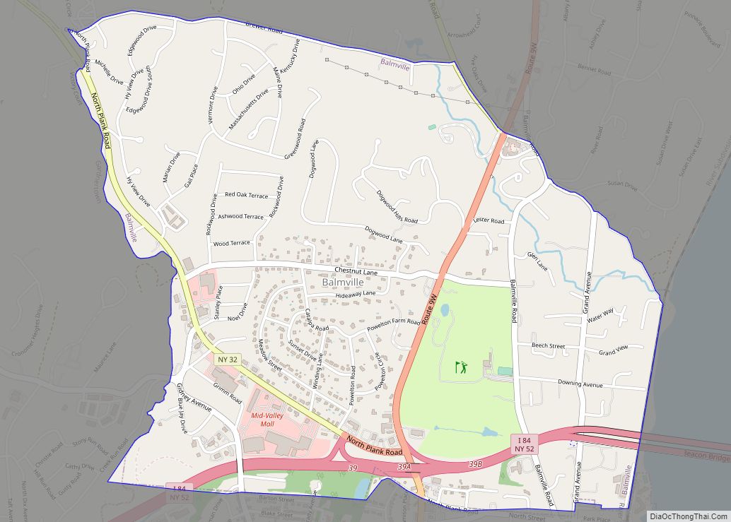
Goshen Road Map
Goshen city Satellite Map
See also
Map of New York State and its subdivision:- Albany
- Allegany
- Bronx
- Broome
- Cattaraugus
- Cayuga
- Chautauqua
- Chemung
- Chenango
- Clinton
- Columbia
- Cortland
- Delaware
- Dutchess
- Erie
- Essex
- Franklin
- Fulton
- Genesee
- Greene
- Hamilton
- Herkimer
- Jefferson
- Kings
- Lake Ontario
- Lewis
- Livingston
- Madison
- Monroe
- Montgomery
- Nassau
- New York
- Niagara
- Oneida
- Onondaga
- Ontario
- Orange
- Orleans
- Oswego
- Otsego
- Putnam
- Queens
- Rensselaer
- Richmond
- Rockland
- Saint Lawrence
- Saratoga
- Schenectady
- Schoharie
- Schuyler
- Seneca
- Steuben
- Suffolk
- Sullivan
- Tioga
- Tompkins
- Ulster
- Warren
- Washington
- Wayne
- Westchester
- Wyoming
- Yates
- Alabama
- Alaska
- Arizona
- Arkansas
- California
- Colorado
- Connecticut
- Delaware
- District of Columbia
- Florida
- Georgia
- Hawaii
- Idaho
- Illinois
- Indiana
- Iowa
- Kansas
- Kentucky
- Louisiana
- Maine
- Maryland
- Massachusetts
- Michigan
- Minnesota
- Mississippi
- Missouri
- Montana
- Nebraska
- Nevada
- New Hampshire
- New Jersey
- New Mexico
- New York
- North Carolina
- North Dakota
- Ohio
- Oklahoma
- Oregon
- Pennsylvania
- Rhode Island
- South Carolina
- South Dakota
- Tennessee
- Texas
- Utah
- Vermont
- Virginia
- Washington
- West Virginia
- Wisconsin
- Wyoming
