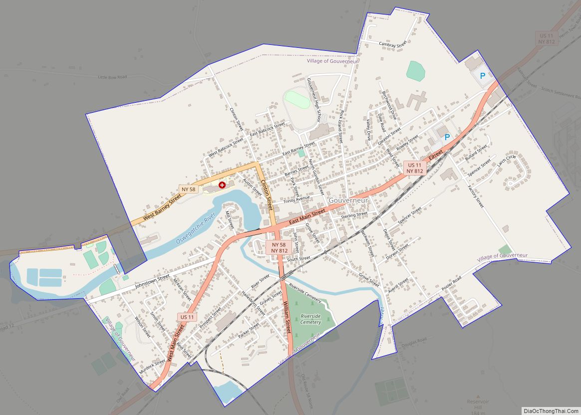
Gouverneur is a village in St. Lawrence County, New York, United States. The population was 3,949 at the 2010 census. The village is named after Gouverneur Morris, one of the authors of the Constitution of the United States, as well as a prominent landowner and part-time resident of the area.
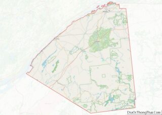
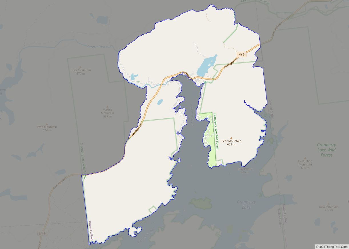
The Village of Gouverneur is in the Town of Gouverneur in the southeastern part of both the town and the county.
The community is called the “Marble Village” because of the many structures made from marble and the importance of marble in the early economy.
| Name: | Gouverneur village |
|---|---|
| LSAD Code: | 47 |
| LSAD Description: | village (suffix) |
| State: | New York |
| County: | St. Lawrence County |
| Elevation: | 440 ft (134 m) |
| Total Area: | 2.2 sq mi (5.7 km²) |
| Land Area: | 2.1 sq mi (5.5 km²) |
| Water Area: | 0.1 sq mi (0.2 km²) |
| Total Population: | 3,948 |
| FIPS code: | 3629597 |
| GNISfeature ID: | 0976353 |
Online Interactive Map
Click on ![]() to view map in "full screen" mode.
to view map in "full screen" mode.
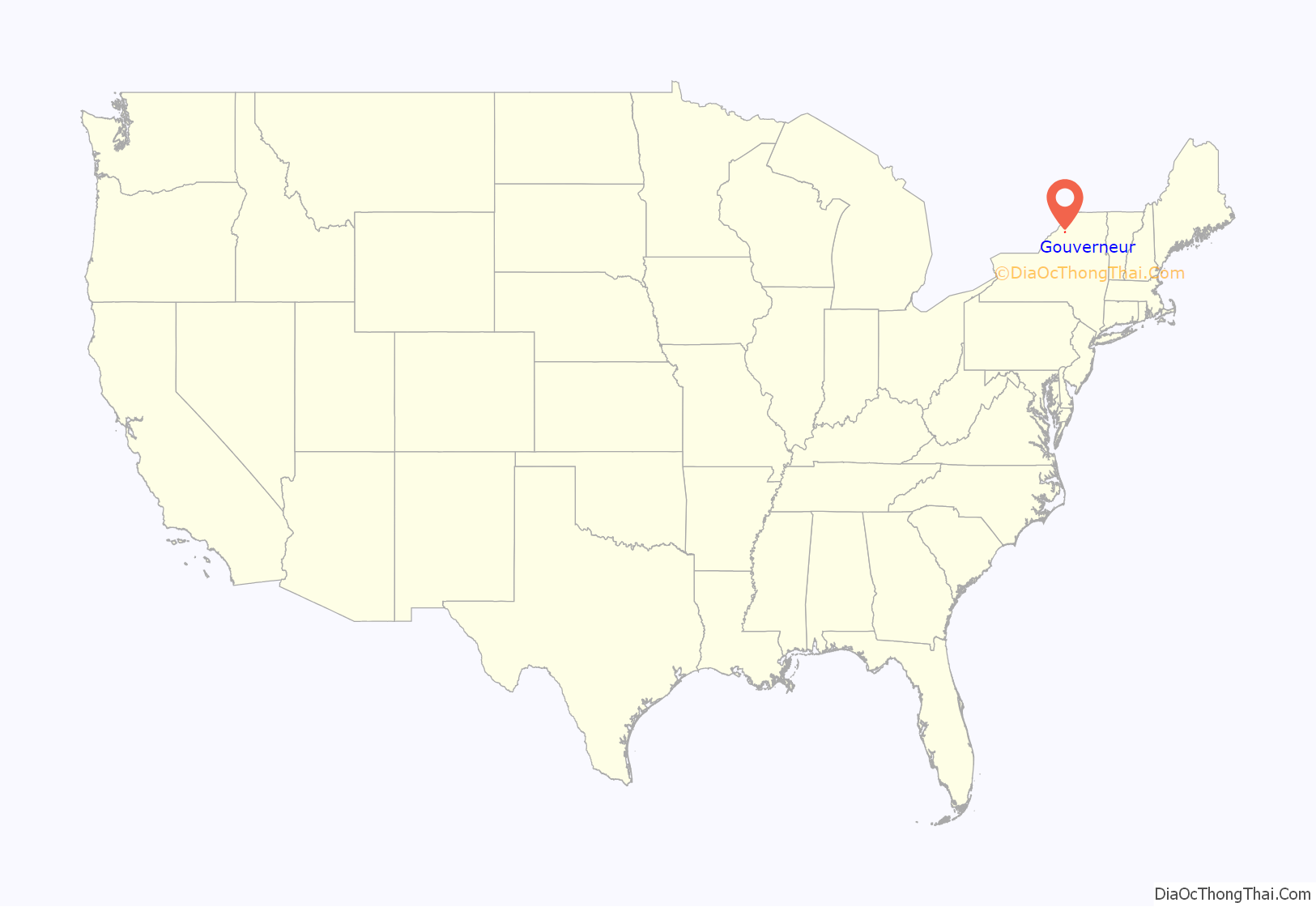
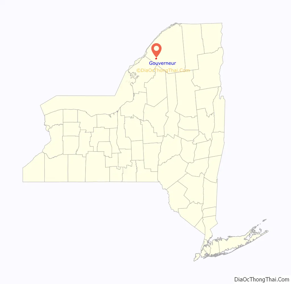
Gouverneur location map. Where is Gouverneur village?
History
Gouverneur Morris, his relative Samuel Ogden, and partner William Constable were all early landowners in northern New York, and Morris established a summer home in the town. Mining the local marble was one of the first big industries in the area. Later, mining talc and zinc became important.
The Village of Gouverneur was incorporated in 1850.
The First Presbyterian Church Complex was listed on the National Register of Historic Places in 2015.
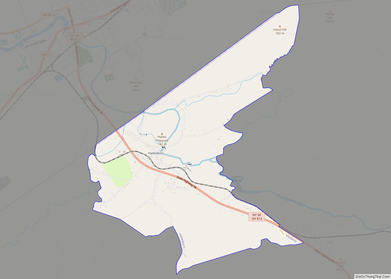
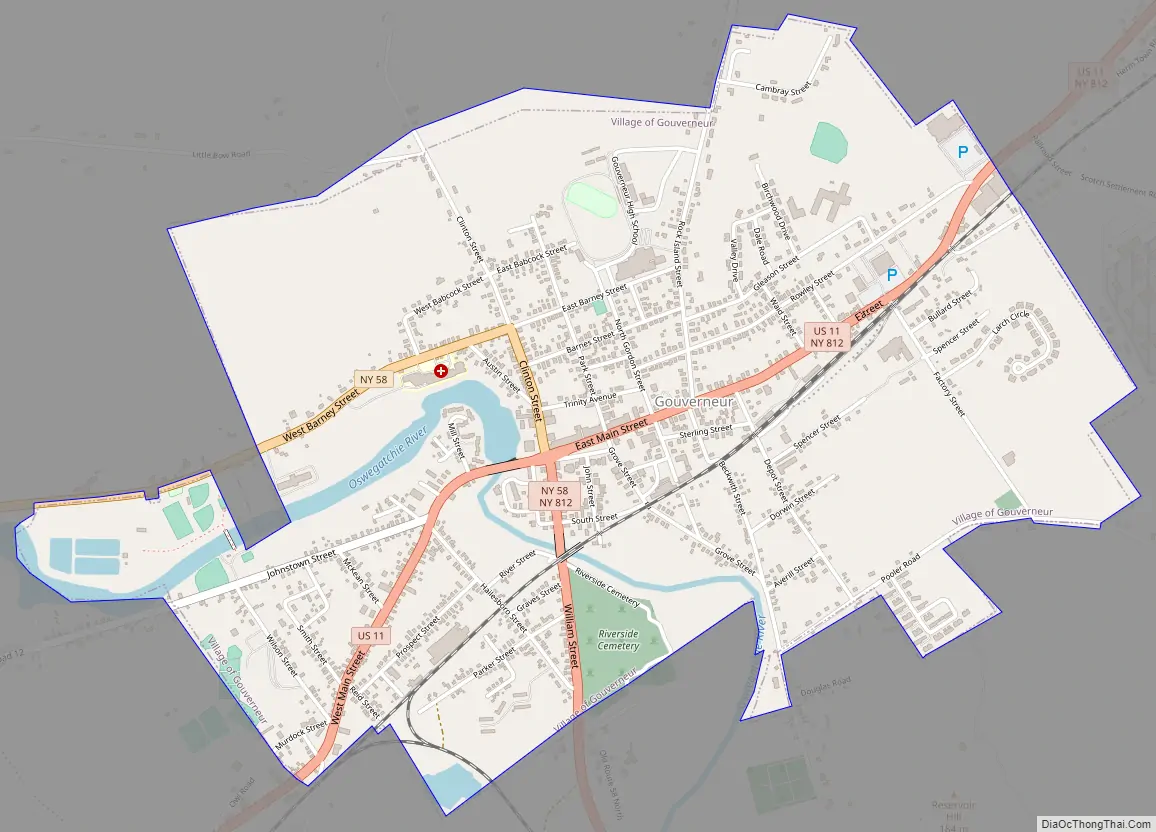
Gouverneur Road Map
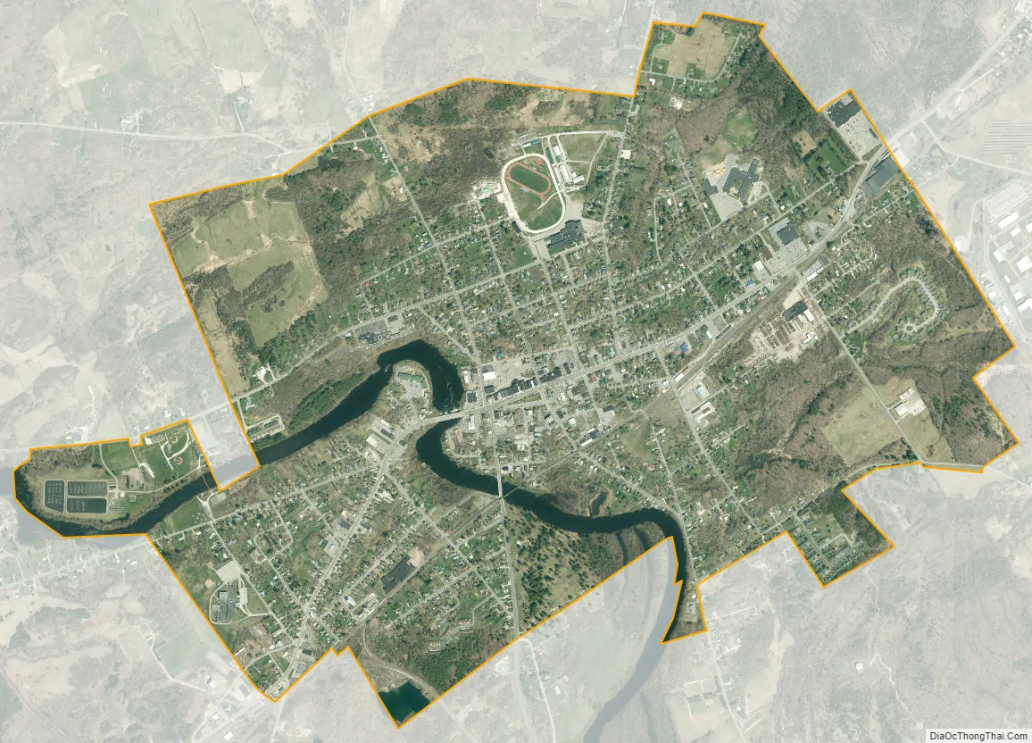
Gouverneur city Satellite Map
Geography
According to the United States Census Bureau, the village has a total area of 2.2 square miles (5.7 km), of which 2.1 square miles (5.5 km) are land and 0.1 square mile (0.2 km) (2.74%) is water.
U.S. Route 11 passes through the village, where it converges with New York State Route 58 and New York State Route 812. County Road 11 leads into the village from the north, and County Road 12 leads in from the west.
The Oswegatchie River flows westward through the village.
See also
Map of New York State and its subdivision:- Albany
- Allegany
- Bronx
- Broome
- Cattaraugus
- Cayuga
- Chautauqua
- Chemung
- Chenango
- Clinton
- Columbia
- Cortland
- Delaware
- Dutchess
- Erie
- Essex
- Franklin
- Fulton
- Genesee
- Greene
- Hamilton
- Herkimer
- Jefferson
- Kings
- Lake Ontario
- Lewis
- Livingston
- Madison
- Monroe
- Montgomery
- Nassau
- New York
- Niagara
- Oneida
- Onondaga
- Ontario
- Orange
- Orleans
- Oswego
- Otsego
- Putnam
- Queens
- Rensselaer
- Richmond
- Rockland
- Saint Lawrence
- Saratoga
- Schenectady
- Schoharie
- Schuyler
- Seneca
- Steuben
- Suffolk
- Sullivan
- Tioga
- Tompkins
- Ulster
- Warren
- Washington
- Wayne
- Westchester
- Wyoming
- Yates
- Alabama
- Alaska
- Arizona
- Arkansas
- California
- Colorado
- Connecticut
- Delaware
- District of Columbia
- Florida
- Georgia
- Hawaii
- Idaho
- Illinois
- Indiana
- Iowa
- Kansas
- Kentucky
- Louisiana
- Maine
- Maryland
- Massachusetts
- Michigan
- Minnesota
- Mississippi
- Missouri
- Montana
- Nebraska
- Nevada
- New Hampshire
- New Jersey
- New Mexico
- New York
- North Carolina
- North Dakota
- Ohio
- Oklahoma
- Oregon
- Pennsylvania
- Rhode Island
- South Carolina
- South Dakota
- Tennessee
- Texas
- Utah
- Vermont
- Virginia
- Washington
- West Virginia
- Wisconsin
- Wyoming