Granville is a village in Washington County, New York, United States. It is part of the Glens Falls Metropolitan Statistical Area. The village population was 2,543 at the 2010 census.
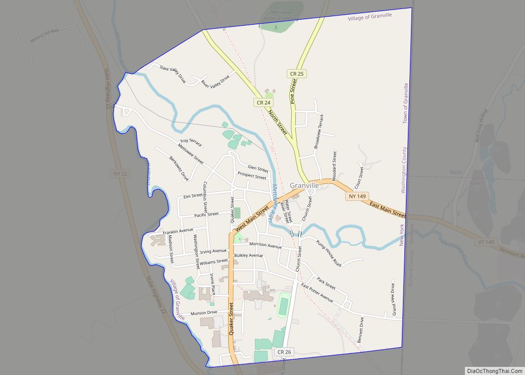
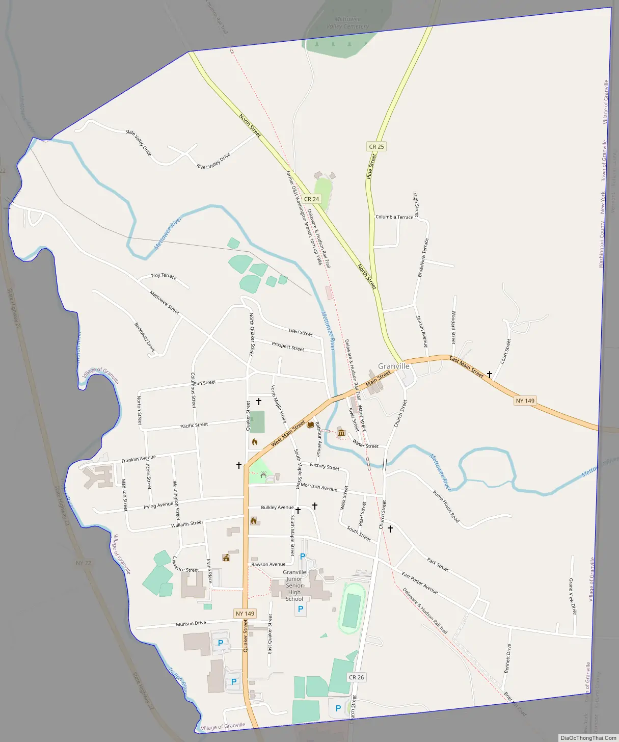
The Village of Granville is in the eastern part of the Town of Granville at Routes NY-149 and NY-22.
The Granville Airport is located north of the village.
| Name: | Granville village |
|---|---|
| LSAD Code: | 47 |
| LSAD Description: | village (suffix) |
| State: | New York |
| County: | Washington County |
| Elevation: | 410 ft (125 m) |
| Total Area: | 1.55 sq mi (4.01 km²) |
| Land Area: | 1.55 sq mi (4.01 km²) |
| Water Area: | 0.00 sq mi (0.00 km²) |
| Total Population: | 2,404 |
| Population Density: | 1,551.97/sq mi (599.12/km²) |
| ZIP code: | 12832 |
| Area code: | 518 |
| FIPS code: | 3630026 |
| GNISfeature ID: | 0951525 |
Online Interactive Map
Click on ![]() to view map in "full screen" mode.
to view map in "full screen" mode.
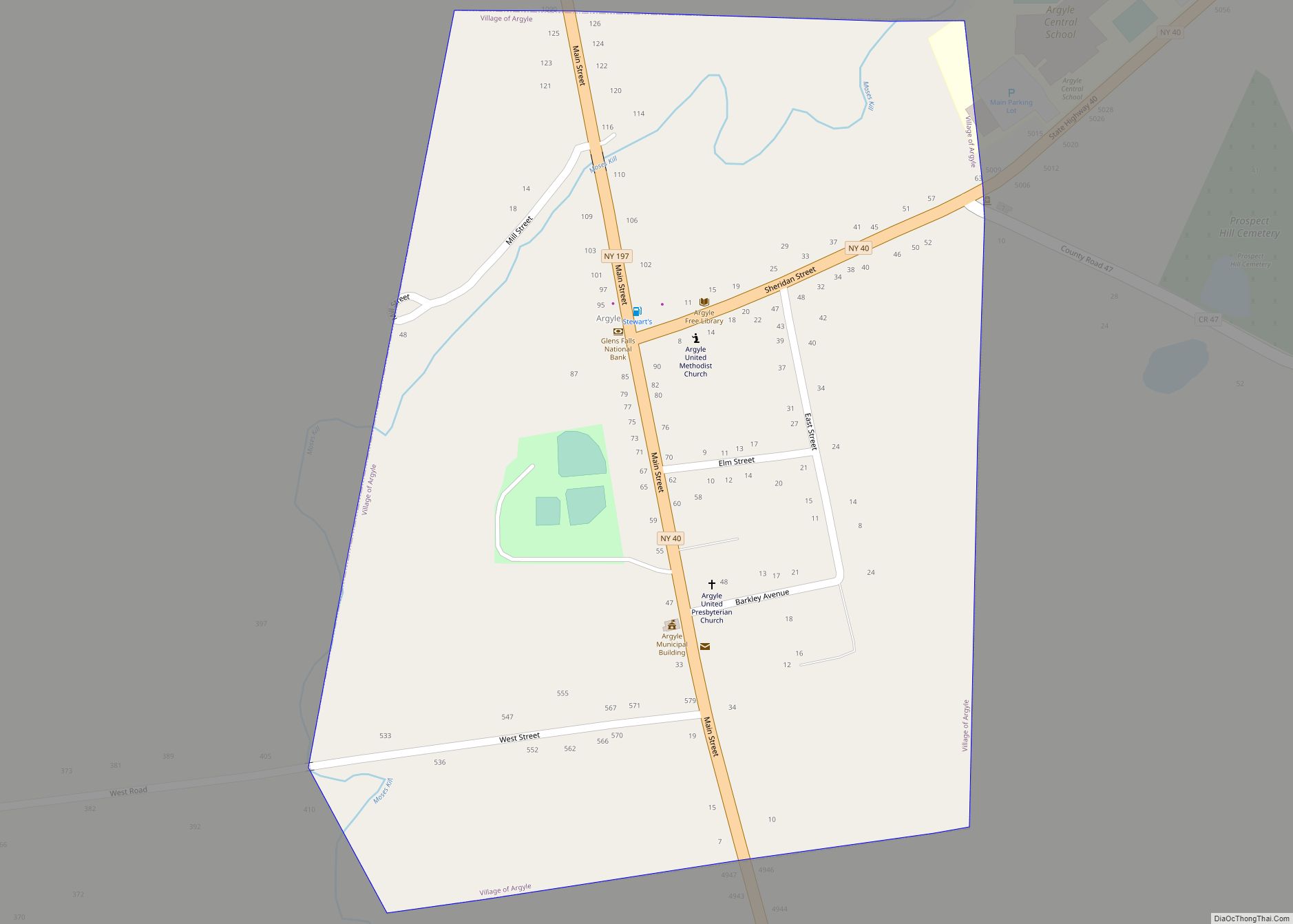
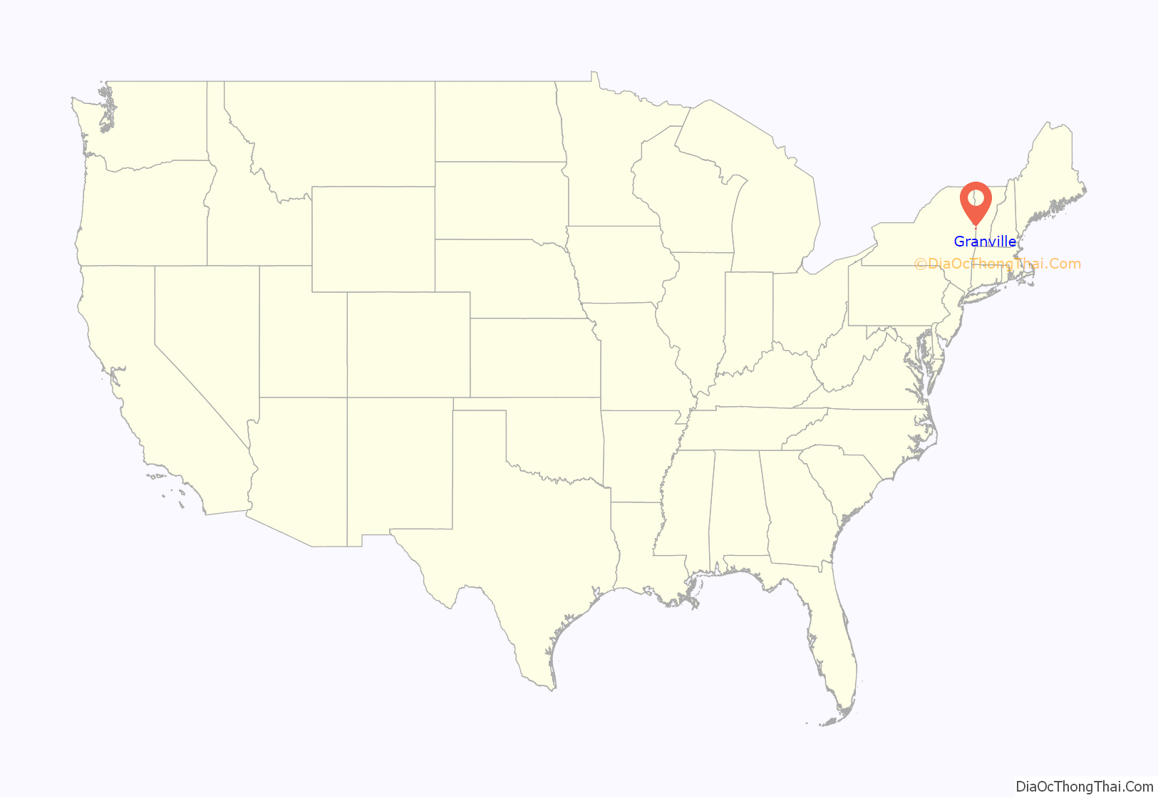
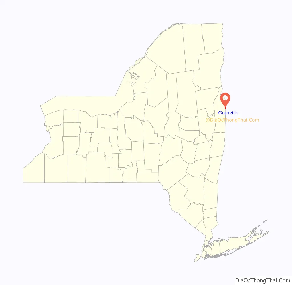
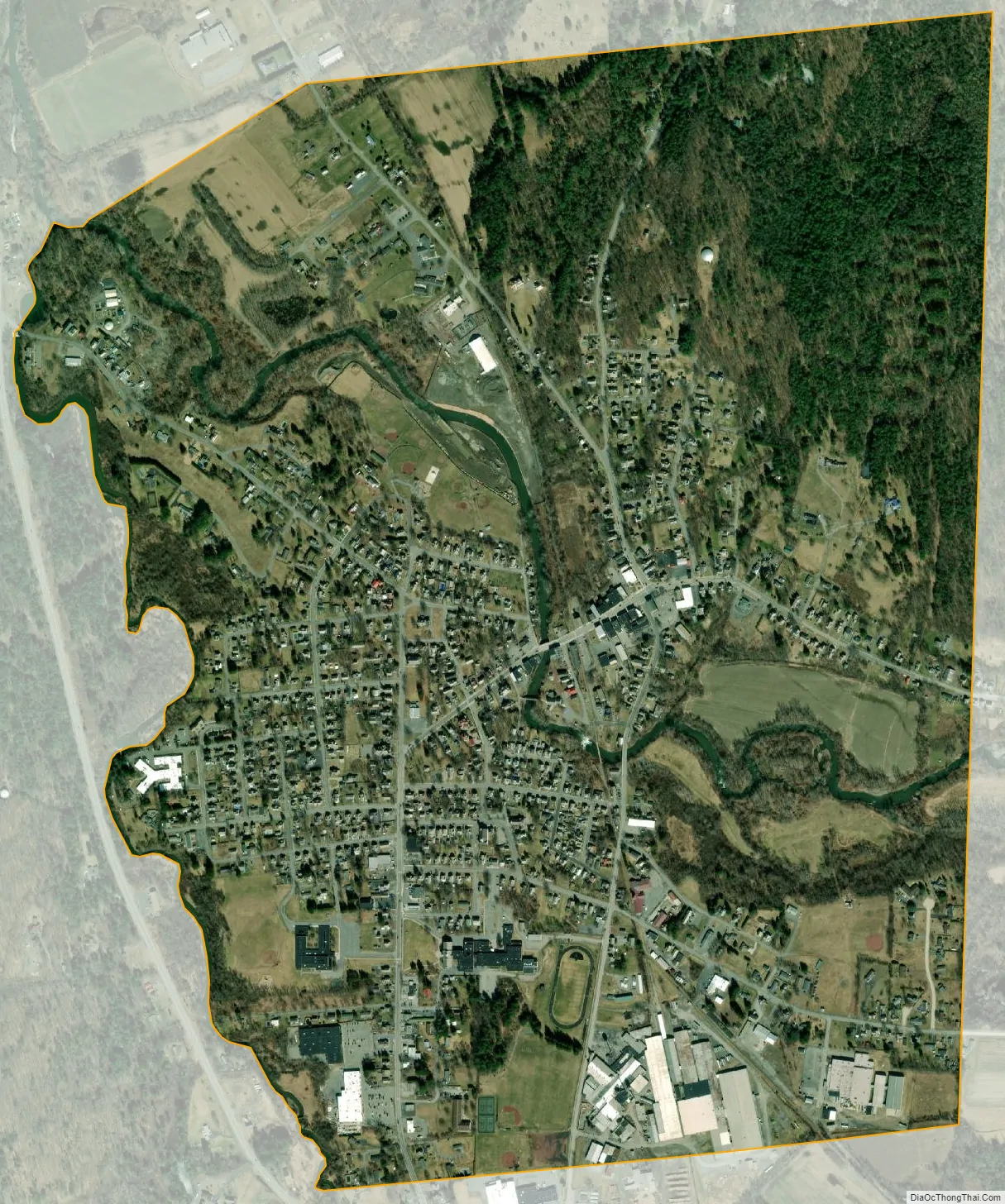
Granville location map. Where is Granville village?
History
Many early settlers arrived from the New England area, and jurisdiction was claimed by both Vermont and New York.
The first known settler was a merchant named Bishop, who opened the first store in 1780. Slate deposits were located around 1850 in the town, and the slate business spread to Granville village by 1871.
The United States Post Office was listed on the National Register of Historic Places in 1989.
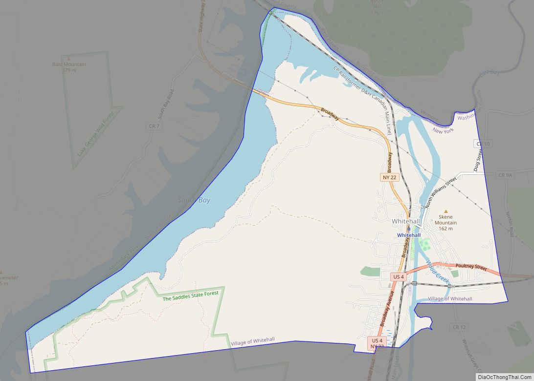
Granville Road Map
Granville city Satellite Map
Geography
According to the United States Census Bureau, the village has a total area of 1.6 square miles (4.1 km), all land.
The village is at the border of Vermont.
There are two rivers that meet in Granville: The Indian and the Mettowee (also known as Pawlet). NY Route 22 runs along the west side of the village and joins NY Route 149 south of the village. NY-149 passes through the village as Main Street and becomes Vermont Route 149 at the eastern side of the village. County Road 24 from the northwest.
See also
Map of New York State and its subdivision:- Albany
- Allegany
- Bronx
- Broome
- Cattaraugus
- Cayuga
- Chautauqua
- Chemung
- Chenango
- Clinton
- Columbia
- Cortland
- Delaware
- Dutchess
- Erie
- Essex
- Franklin
- Fulton
- Genesee
- Greene
- Hamilton
- Herkimer
- Jefferson
- Kings
- Lake Ontario
- Lewis
- Livingston
- Madison
- Monroe
- Montgomery
- Nassau
- New York
- Niagara
- Oneida
- Onondaga
- Ontario
- Orange
- Orleans
- Oswego
- Otsego
- Putnam
- Queens
- Rensselaer
- Richmond
- Rockland
- Saint Lawrence
- Saratoga
- Schenectady
- Schoharie
- Schuyler
- Seneca
- Steuben
- Suffolk
- Sullivan
- Tioga
- Tompkins
- Ulster
- Warren
- Washington
- Wayne
- Westchester
- Wyoming
- Yates
- Alabama
- Alaska
- Arizona
- Arkansas
- California
- Colorado
- Connecticut
- Delaware
- District of Columbia
- Florida
- Georgia
- Hawaii
- Idaho
- Illinois
- Indiana
- Iowa
- Kansas
- Kentucky
- Louisiana
- Maine
- Maryland
- Massachusetts
- Michigan
- Minnesota
- Mississippi
- Missouri
- Montana
- Nebraska
- Nevada
- New Hampshire
- New Jersey
- New Mexico
- New York
- North Carolina
- North Dakota
- Ohio
- Oklahoma
- Oregon
- Pennsylvania
- Rhode Island
- South Carolina
- South Dakota
- Tennessee
- Texas
- Utah
- Vermont
- Virginia
- Washington
- West Virginia
- Wisconsin
- Wyoming