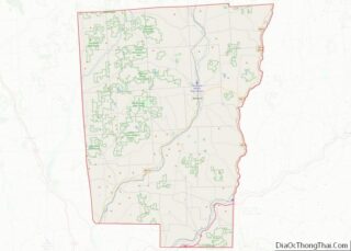
Greene is a village in Chenango County, New York, United States. The population was 1,580 at the 2010 census. The village is named after General Nathanael Greene. It is within the town of Greene and is northeast of Binghamton.
| Name: | Greene village |
|---|---|
| LSAD Code: | 47 |
| LSAD Description: | village (suffix) |
| State: | New York |
| County: | Chenango County |
| Elevation: | 919 ft (280 m) |
| Total Area: | 1.11 sq mi (2.86 km²) |
| Land Area: | 1.07 sq mi (2.77 km²) |
| Water Area: | 0.04 sq mi (0.10 km²) |
| Total Population: | 1,463 |
| Population Density: | 1,369.85/sq mi (529.05/km²) |
| ZIP code: | 13778 |
| Area code: | 607 |
| FIPS code: | 3630411 |
| GNISfeature ID: | 0951739 |
| Website: | nygreene.com/villageofgreene.htm |
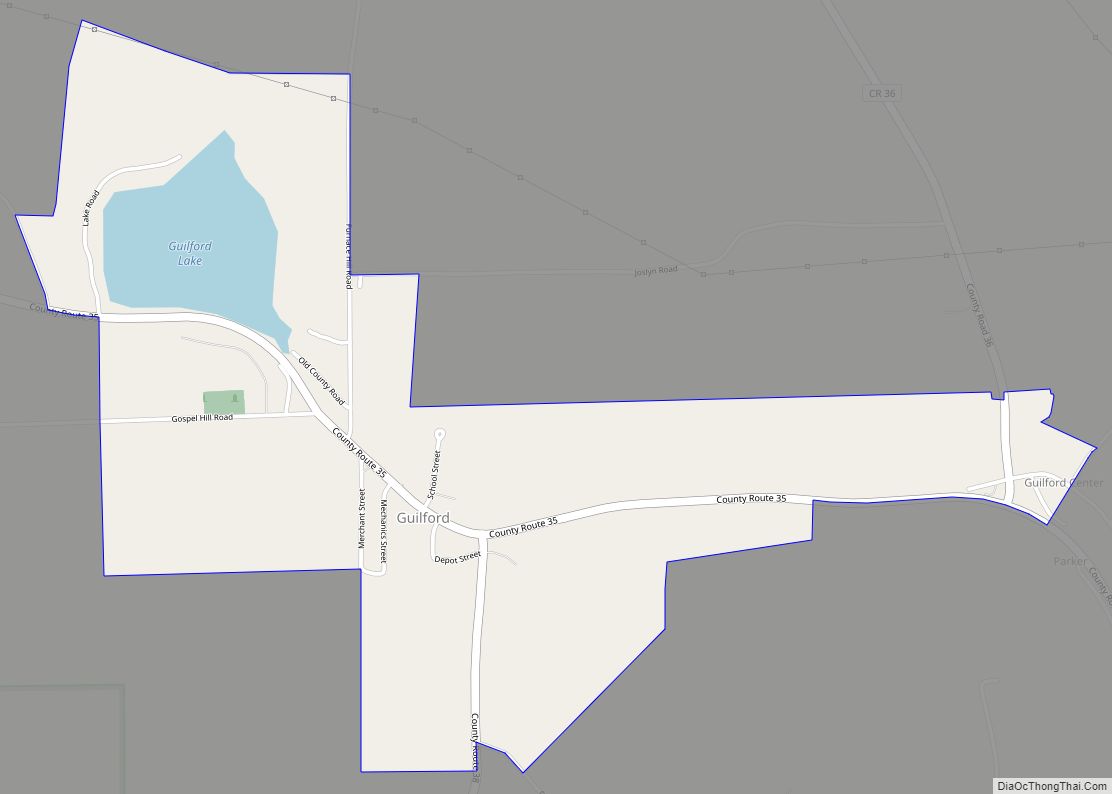
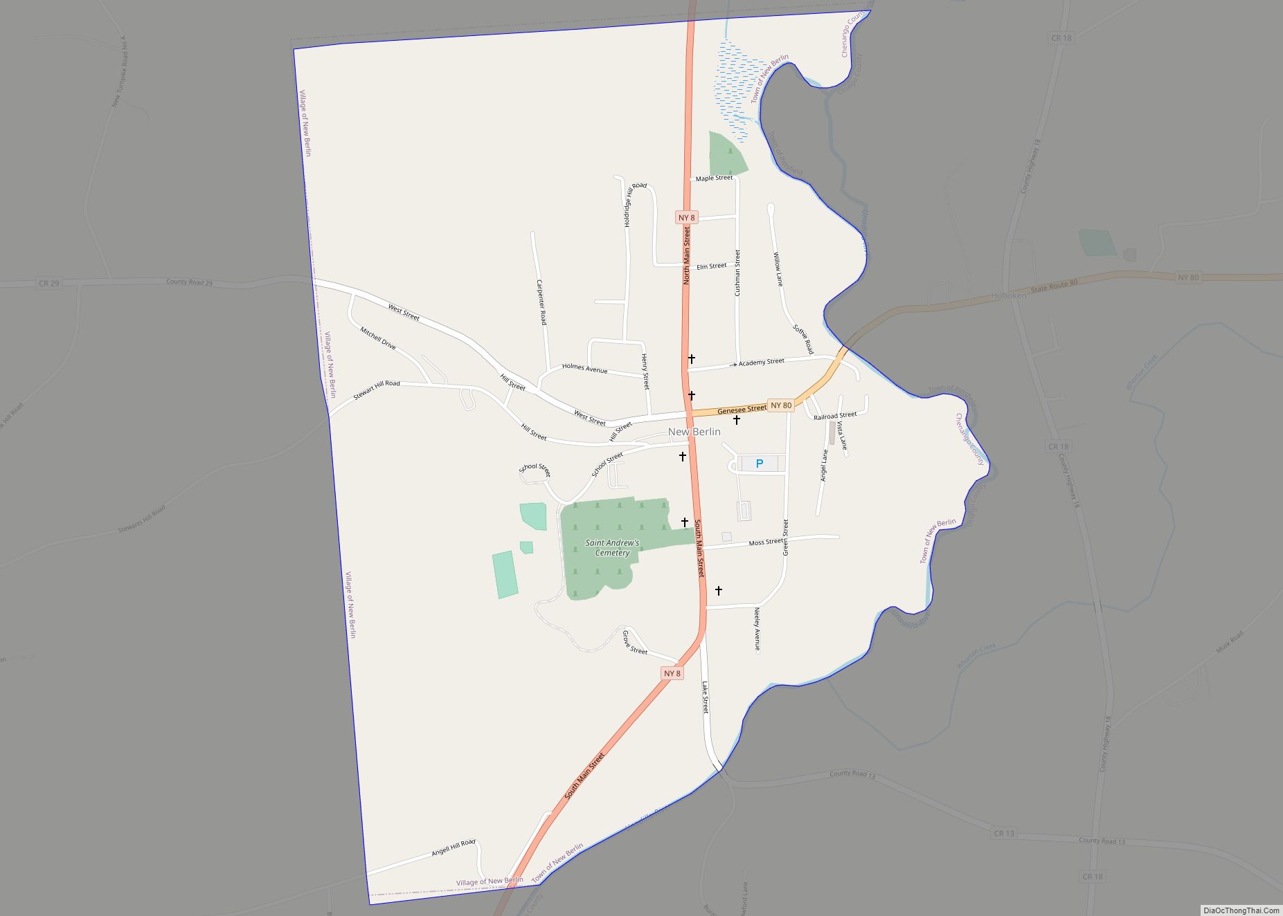
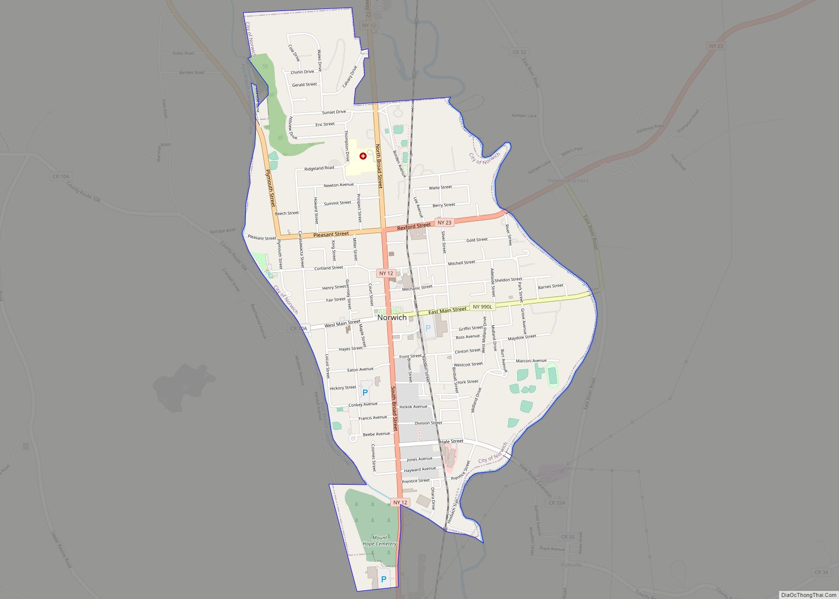
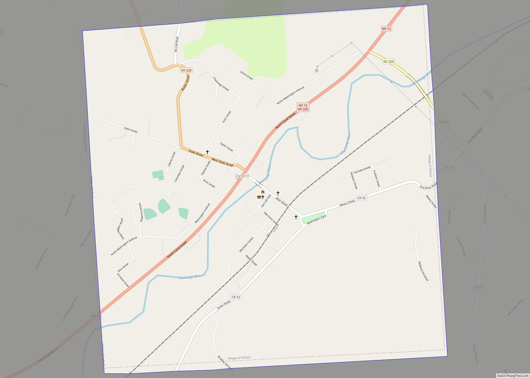
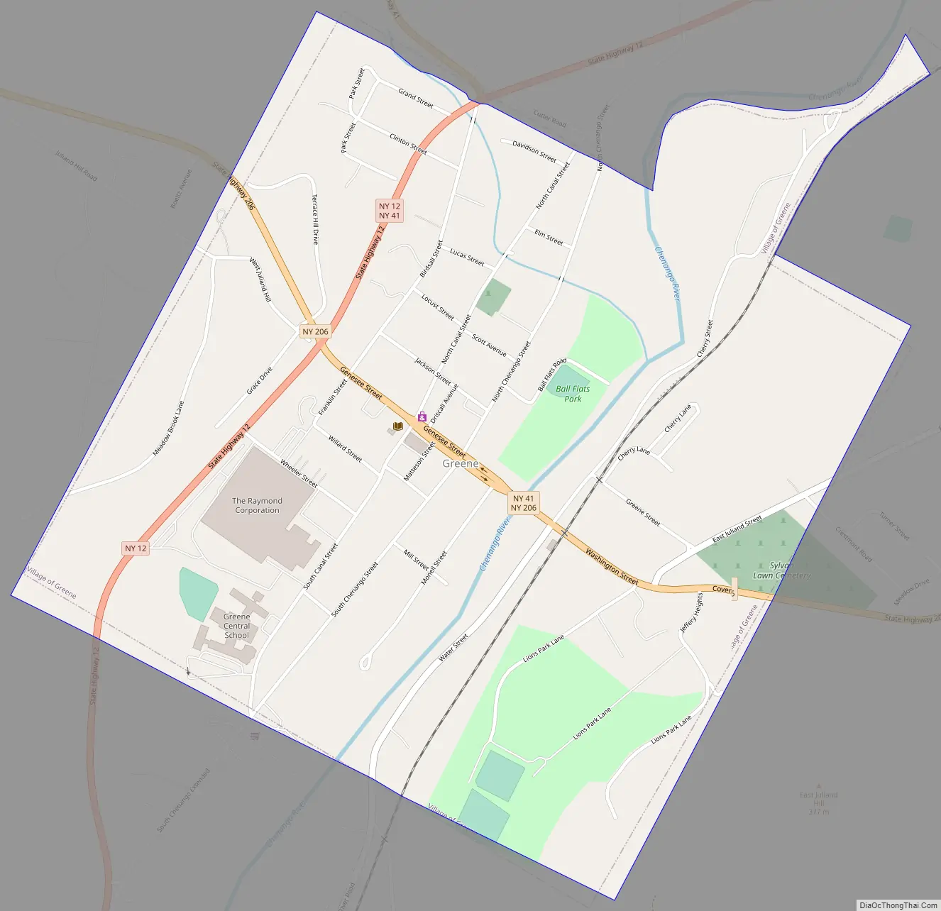
Online Interactive Map
Click on ![]() to view map in "full screen" mode.
to view map in "full screen" mode.
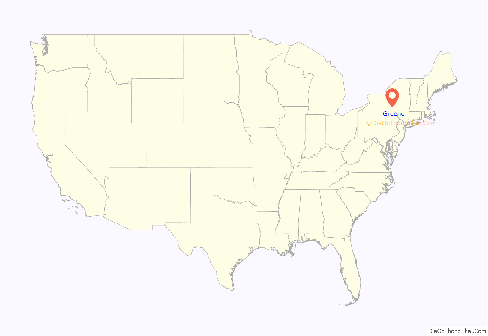
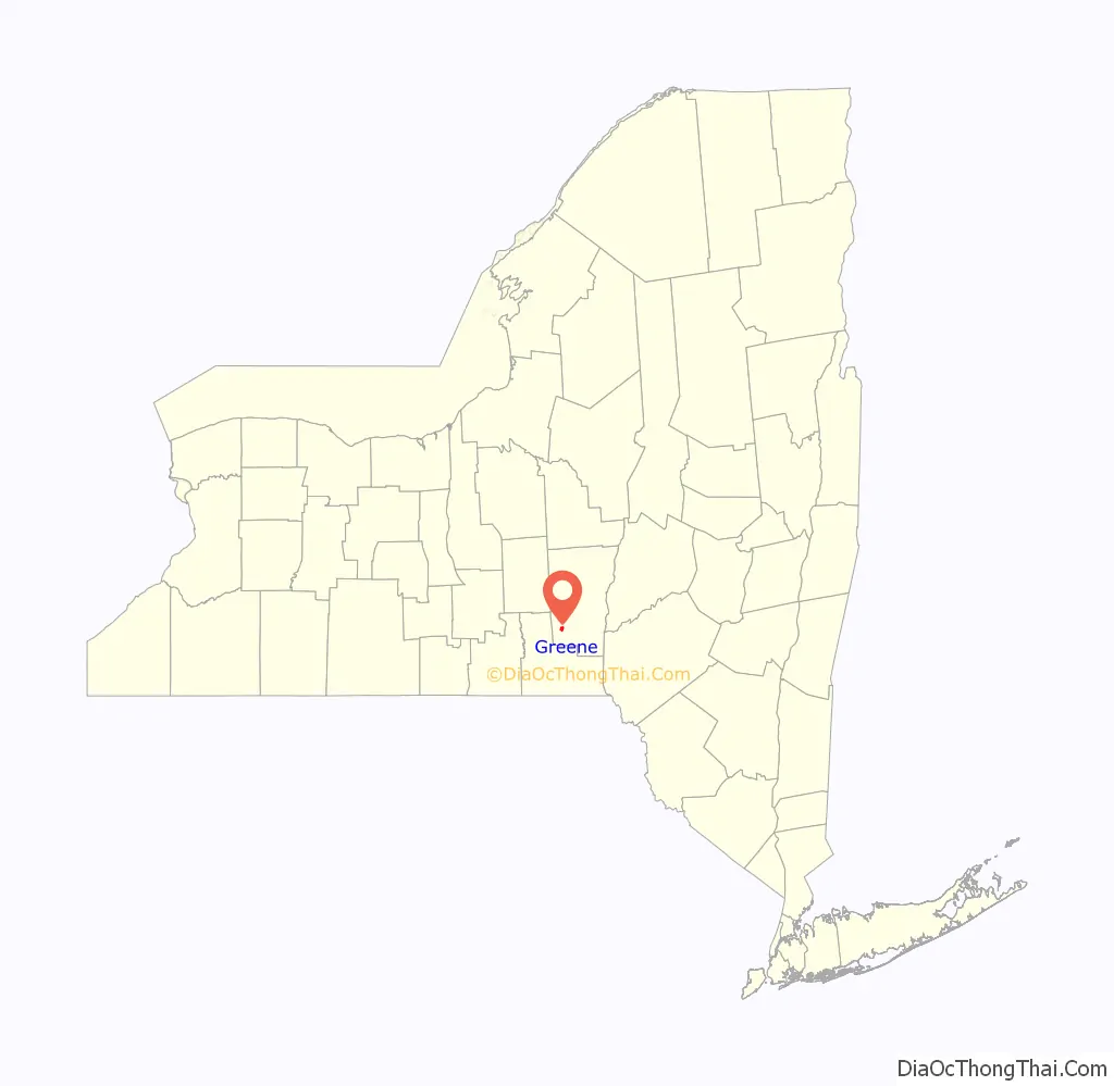
Greene location map. Where is Greene village?
History
The village was the site of the first settlement in the town, around 1792 by Stephen Ketchum, and was originally called “Hornby”. The town later, in 1806, changed the name to that of the Revolutionary War general.
The village of Greene was laid out in 1806 and incorporated in 1842. In 1982, many of its historic buildings were included in the Greene Historic District on the National Register of Historic Places. The frequently cleansed Chenango River is a haven for wildlife, such as the great horned owl and the Virginia opossum.
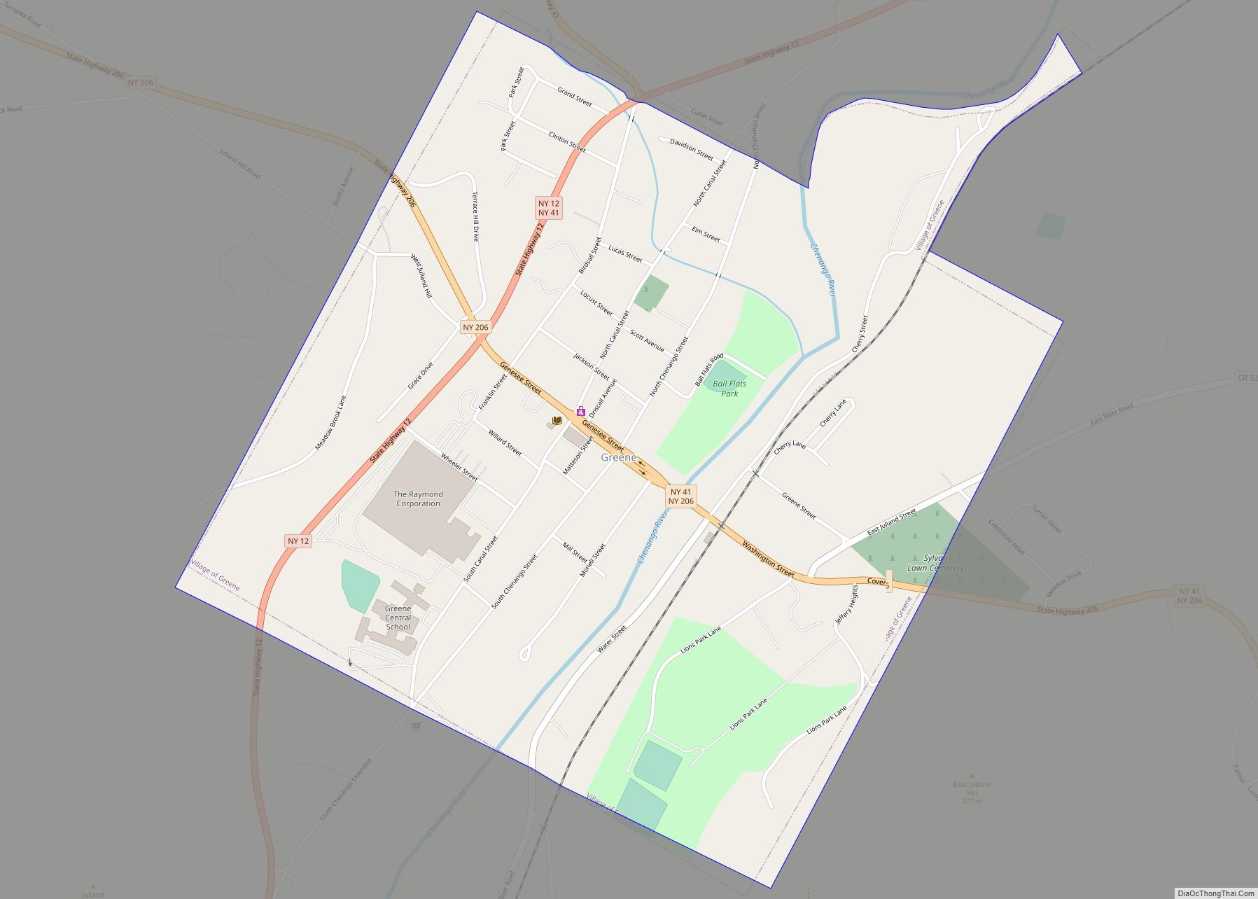
Greene Road Map
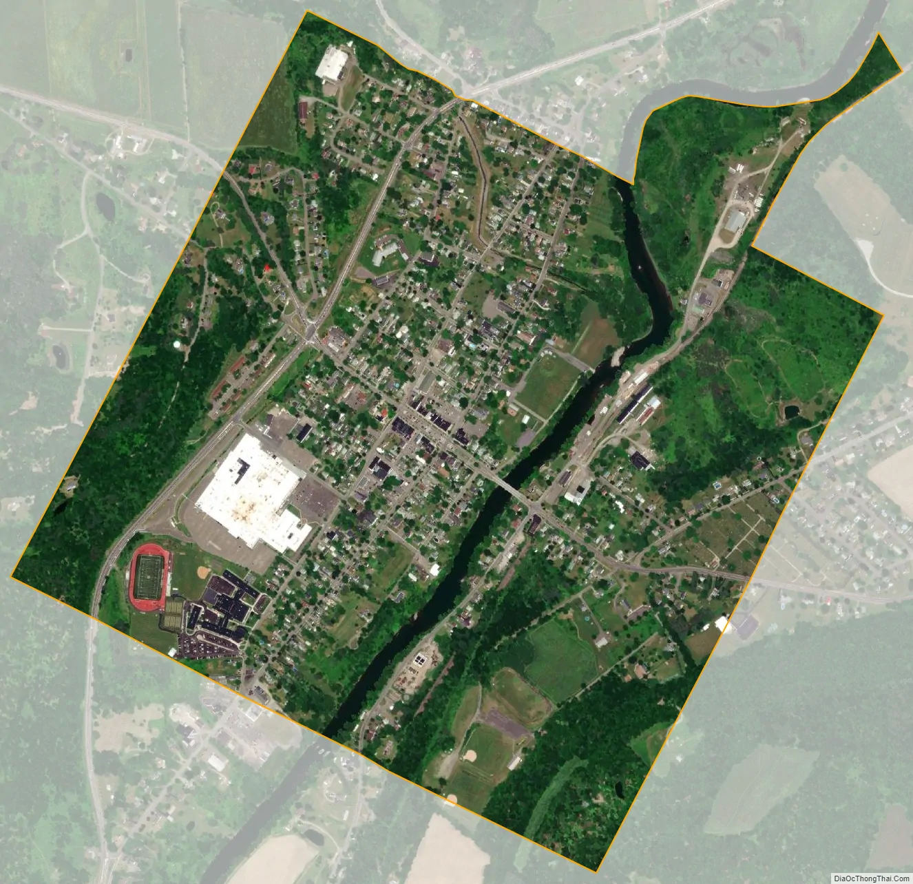
Greene city Satellite Map
Geography
Greene village is located north of the geographic center of the town of Greene at 42°19′48″N 75°46′12″W / 42.33000°N 75.77000°W / 42.33000; -75.77000 (42.330073, -75.770137). It is in the southwestern part of Chenango County.
According to the United States Census Bureau, the village has a total area of 1.1 square miles (2.9 km), of which 1.1 square miles (2.8 km) is land and 0.04 square miles (0.1 km), or 3.40%, is water.
The village is on the banks of the Chenango River and was located near the former Chenango Canal. The Utica Branch of the New York, Susquehanna and Western Railway, formerly the Lackawanna Railroad, later Erie Lackawanna, later Conrail, follows the river through the area. It has been inactive since devastating floods during the summer of 2006.
New York State Route 12 and New York State Route 206 intersect in the village.
See also
Map of New York State and its subdivision:- Albany
- Allegany
- Bronx
- Broome
- Cattaraugus
- Cayuga
- Chautauqua
- Chemung
- Chenango
- Clinton
- Columbia
- Cortland
- Delaware
- Dutchess
- Erie
- Essex
- Franklin
- Fulton
- Genesee
- Greene
- Hamilton
- Herkimer
- Jefferson
- Kings
- Lake Ontario
- Lewis
- Livingston
- Madison
- Monroe
- Montgomery
- Nassau
- New York
- Niagara
- Oneida
- Onondaga
- Ontario
- Orange
- Orleans
- Oswego
- Otsego
- Putnam
- Queens
- Rensselaer
- Richmond
- Rockland
- Saint Lawrence
- Saratoga
- Schenectady
- Schoharie
- Schuyler
- Seneca
- Steuben
- Suffolk
- Sullivan
- Tioga
- Tompkins
- Ulster
- Warren
- Washington
- Wayne
- Westchester
- Wyoming
- Yates
- Alabama
- Alaska
- Arizona
- Arkansas
- California
- Colorado
- Connecticut
- Delaware
- District of Columbia
- Florida
- Georgia
- Hawaii
- Idaho
- Illinois
- Indiana
- Iowa
- Kansas
- Kentucky
- Louisiana
- Maine
- Maryland
- Massachusetts
- Michigan
- Minnesota
- Mississippi
- Missouri
- Montana
- Nebraska
- Nevada
- New Hampshire
- New Jersey
- New Mexico
- New York
- North Carolina
- North Dakota
- Ohio
- Oklahoma
- Oregon
- Pennsylvania
- Rhode Island
- South Carolina
- South Dakota
- Tennessee
- Texas
- Utah
- Vermont
- Virginia
- Washington
- West Virginia
- Wisconsin
- Wyoming