Hammondsport is a village at the south end of Keuka Lake, in Steuben County, one of the Finger Lakes of New York, United States.
The Village of Hammondsport is in the Town of Urbana and is northeast of Bath.
| Name: | Hammondsport village |
|---|---|
| LSAD Code: | 47 |
| LSAD Description: | village (suffix) |
| State: | New York |
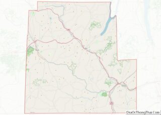
| County: | Steuben County |
| Elevation: | 755 ft (230 m) |
| Total Area: | 0.37 sq mi (0.96 km²) |
| Land Area: | 0.35 sq mi (0.91 km²) |
| Water Area: | 0.02 sq mi (0.05 km²) |
| Total Population: | 583 |
| Population Density: | 1,665.71/sq mi (642.88/km²) |
| ZIP code: | 14840 |
| Area code: | 607 |
| FIPS code: | 3631852 |
| GNISfeature ID: | 0952131 |
| Website: | hammondsport.us |
Online Interactive Map
Click on ![]() to view map in "full screen" mode.
to view map in "full screen" mode.
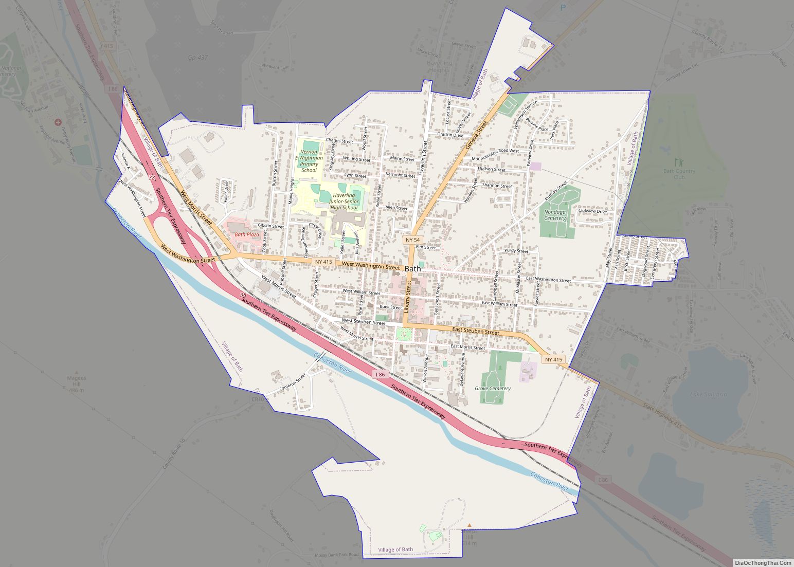
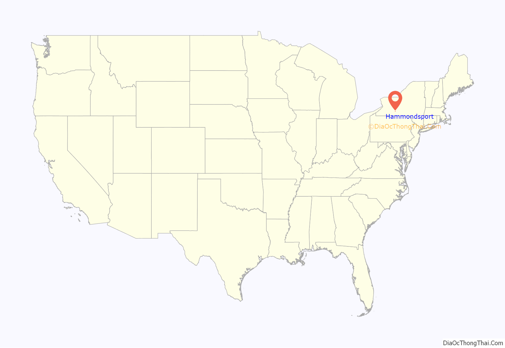
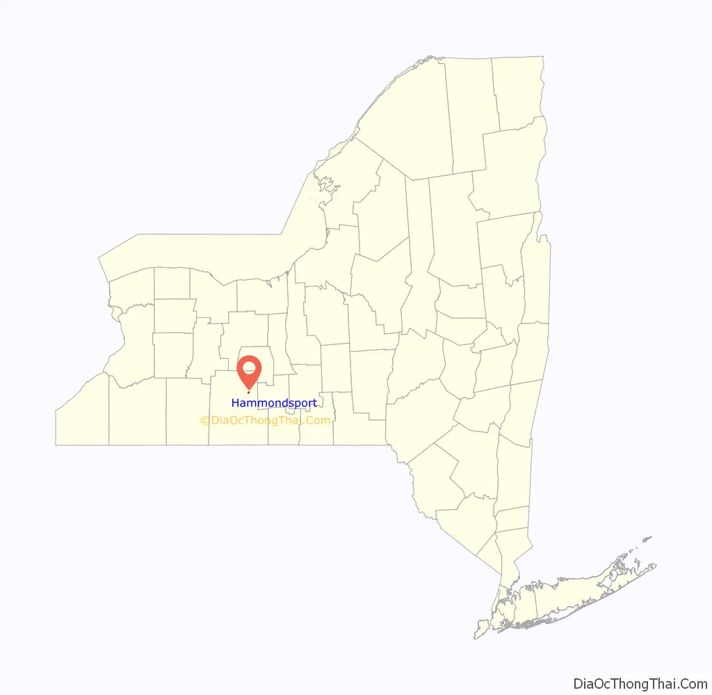
Hammondsport location map. Where is Hammondsport village?
History
Lazarus Hammond founded the village around 1827. The village was incorporated in 1856. The village later became a center for the New York wine industry.
The American motorcycle designer and manufacturer, and recognized expert on gasoline engines Glenn Hammond Curtiss resided at Hammondsport, where he was born in 1878. Early development of aircraft and seaplanes was carried out at Hammondsport by Curtiss who had joined with Alexander Graham Bell and others in the Aerial Experiment Association.
In 1921, five local men purchased a wood barrel factory just south of the present D.W. Putnam Wine Company, and named it the Aerial Service Corporation. Two of these men, Henry Kleckler, the president and William Chadeayne, vice president, were formerly with the Curtiss Aeroplane Company, founded by Curtiss. Today, this company is known as the Mercury Corporation.
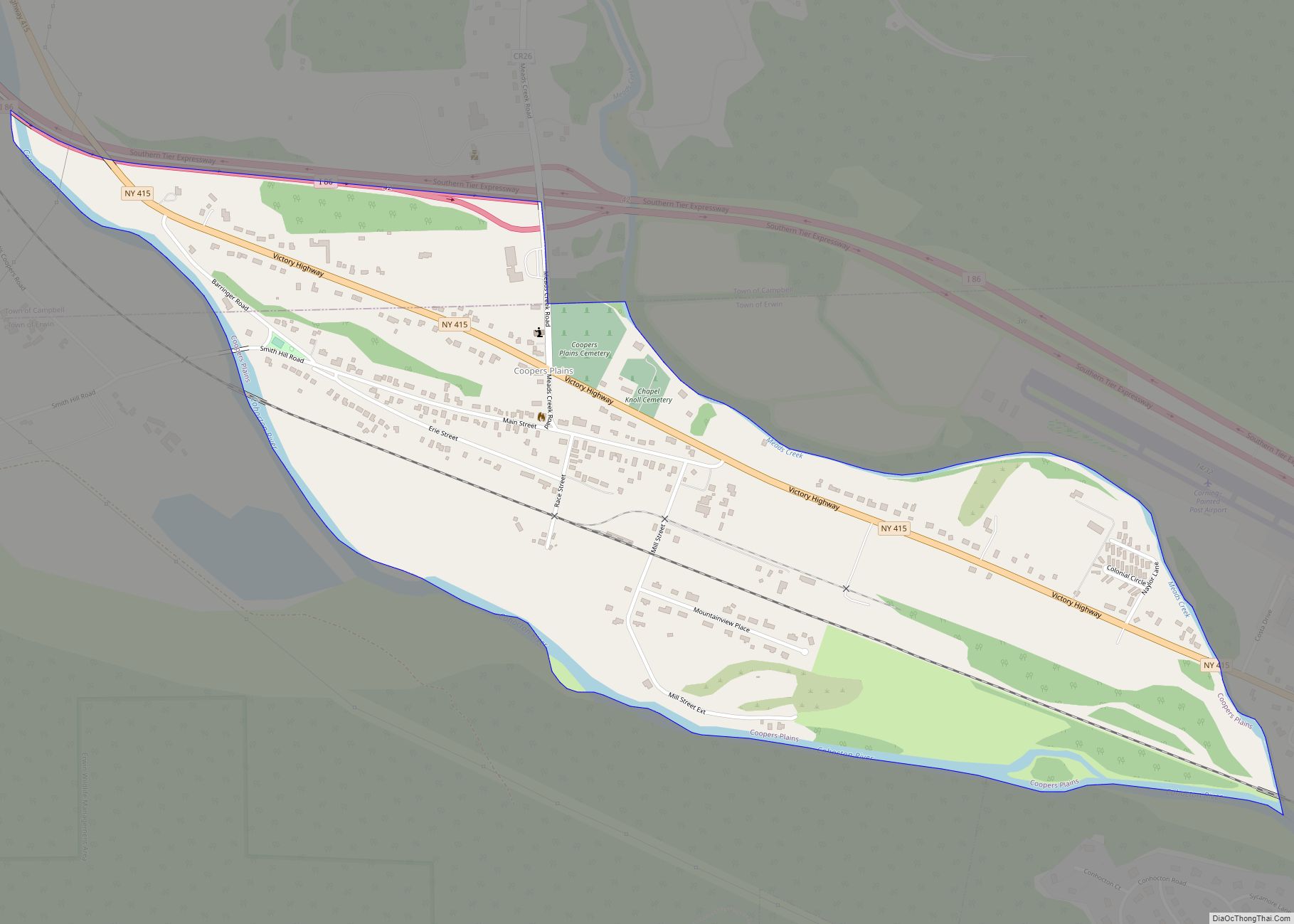
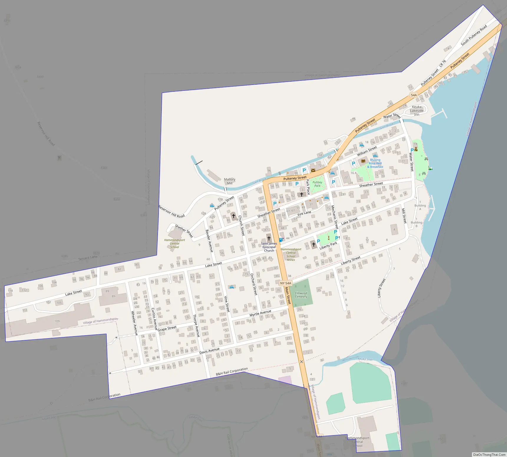
Hammondsport Road Map
Hammondsport city Satellite Map
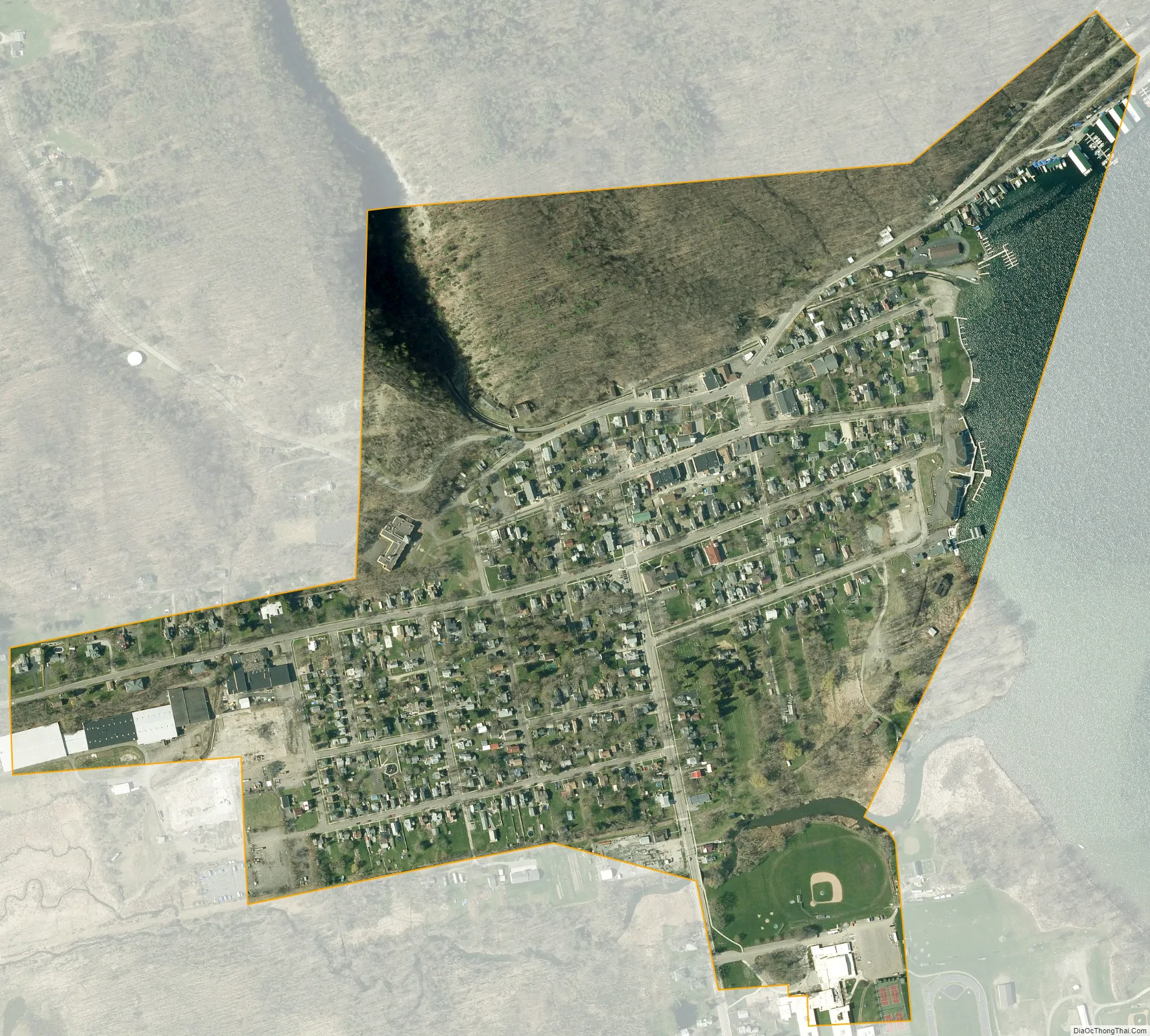
Geography
According to the United States Census Bureau, the village has a total area of 0.4 square miles (1.0 km), of which 0.3 square miles (0.78 km) is land and 0.04 square miles (0.10 km) (5.41%) is water.
Hammondsport is at the south end of Keuka Lake, north of the junction of New York State Route 54 and New York State Route 54A. NY-54A passes through the village after linking with County Road 76.
Keuka Inlet and Glen Brook flow past the village.
See also
Map of New York State and its subdivision:- Albany
- Allegany
- Bronx
- Broome
- Cattaraugus
- Cayuga
- Chautauqua
- Chemung
- Chenango
- Clinton
- Columbia
- Cortland
- Delaware
- Dutchess
- Erie
- Essex
- Franklin
- Fulton
- Genesee
- Greene
- Hamilton
- Herkimer
- Jefferson
- Kings
- Lake Ontario
- Lewis
- Livingston
- Madison
- Monroe
- Montgomery
- Nassau
- New York
- Niagara
- Oneida
- Onondaga
- Ontario
- Orange
- Orleans
- Oswego
- Otsego
- Putnam
- Queens
- Rensselaer
- Richmond
- Rockland
- Saint Lawrence
- Saratoga
- Schenectady
- Schoharie
- Schuyler
- Seneca
- Steuben
- Suffolk
- Sullivan
- Tioga
- Tompkins
- Ulster
- Warren
- Washington
- Wayne
- Westchester
- Wyoming
- Yates
- Alabama
- Alaska
- Arizona
- Arkansas
- California
- Colorado
- Connecticut
- Delaware
- District of Columbia
- Florida
- Georgia
- Hawaii
- Idaho
- Illinois
- Indiana
- Iowa
- Kansas
- Kentucky
- Louisiana
- Maine
- Maryland
- Massachusetts
- Michigan
- Minnesota
- Mississippi
- Missouri
- Montana
- Nebraska
- Nevada
- New Hampshire
- New Jersey
- New Mexico
- New York
- North Carolina
- North Dakota
- Ohio
- Oklahoma
- Oregon
- Pennsylvania
- Rhode Island
- South Carolina
- South Dakota
- Tennessee
- Texas
- Utah
- Vermont
- Virginia
- Washington
- West Virginia
- Wisconsin
- Wyoming