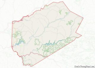
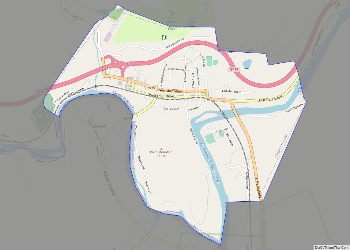
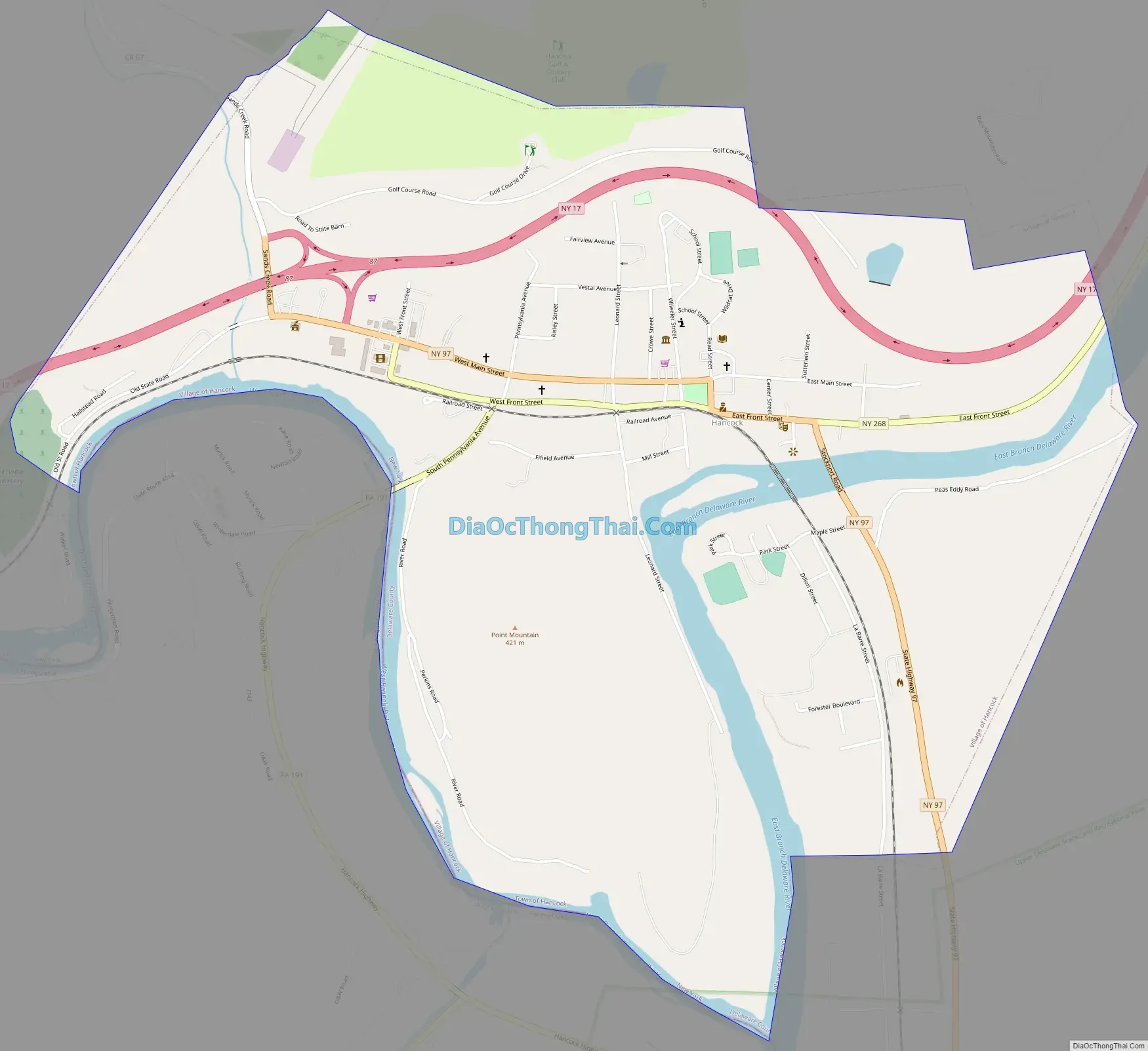
Hancock is a village in Delaware County, New York, United States. The population was 908 at the 2020 census. The village is in the west part of the town of Hancock at the junction of NY Routes 17 and 97.
Hancock is located at the confluence of the East and West branches of the Delaware River.
Hancock owes its former importance mainly to the Erie Railroad from 1848. The Erie merged into the Erie Lackawanna Railway in 1960. The railroad still exists as the Southern Tier Line of the Norfolk Southern Railway, leased to the Central New York Railroad, but sees only a few freight trains weekly.
The Scranton Branch of the New York, Ontario and Western Railway bridged the West Branch of the Delaware River just west of the village; this railway’s main activity in the area was at Cadosia junction, a few miles up the East Branch of the Delaware River. Though the O&W ceased operations on March 29, 1957, the bridge was not removed until the 1970s.
| Name: | Hancock village |
|---|---|
| LSAD Code: | 47 |
| LSAD Description: | village (suffix) |
| State: | New York |
| County: | Delaware County |
| Elevation: | 922 ft (281 m) |
| Total Area: | 1.70 sq mi (4.39 km²) |
| Land Area: | 1.57 sq mi (4.06 km²) |
| Water Area: | 0.13 sq mi (0.34 km²) |
| Total Population: | 908 |
| Population Density: | 579.82/sq mi (223.82/km²) |
| ZIP code: | 13783 |
| Area code: | 607 |
| FIPS code: | 3631940 |
| GNISfeature ID: | 0952148 |
| Website: | villageofhancockny.com |
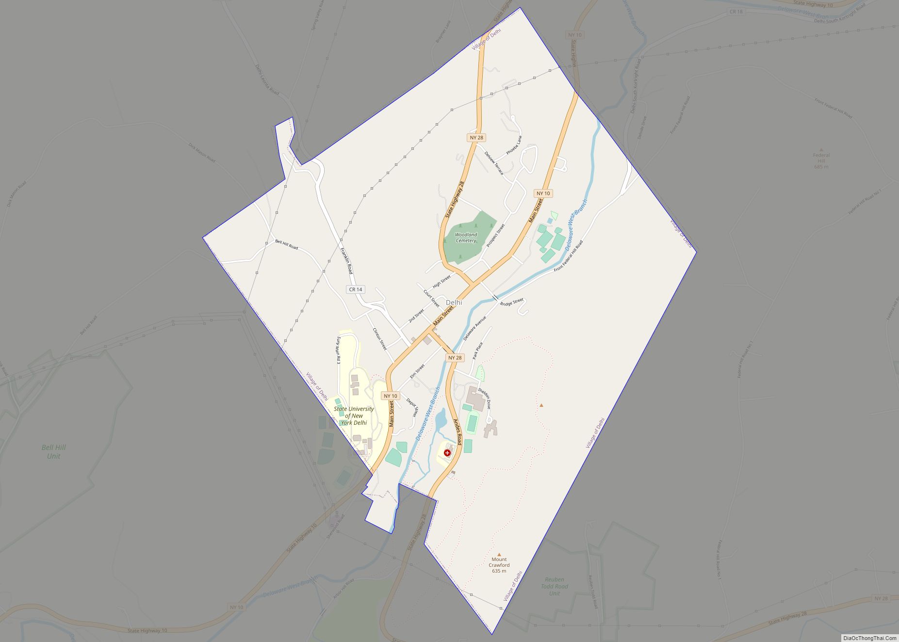
Online Interactive Map
Click on ![]() to view map in "full screen" mode.
to view map in "full screen" mode.
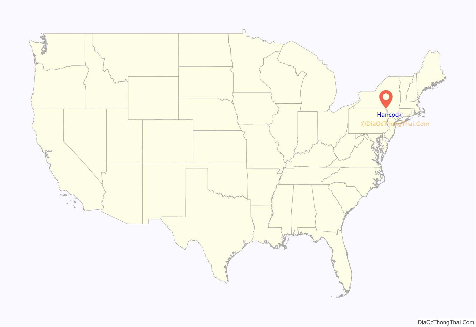
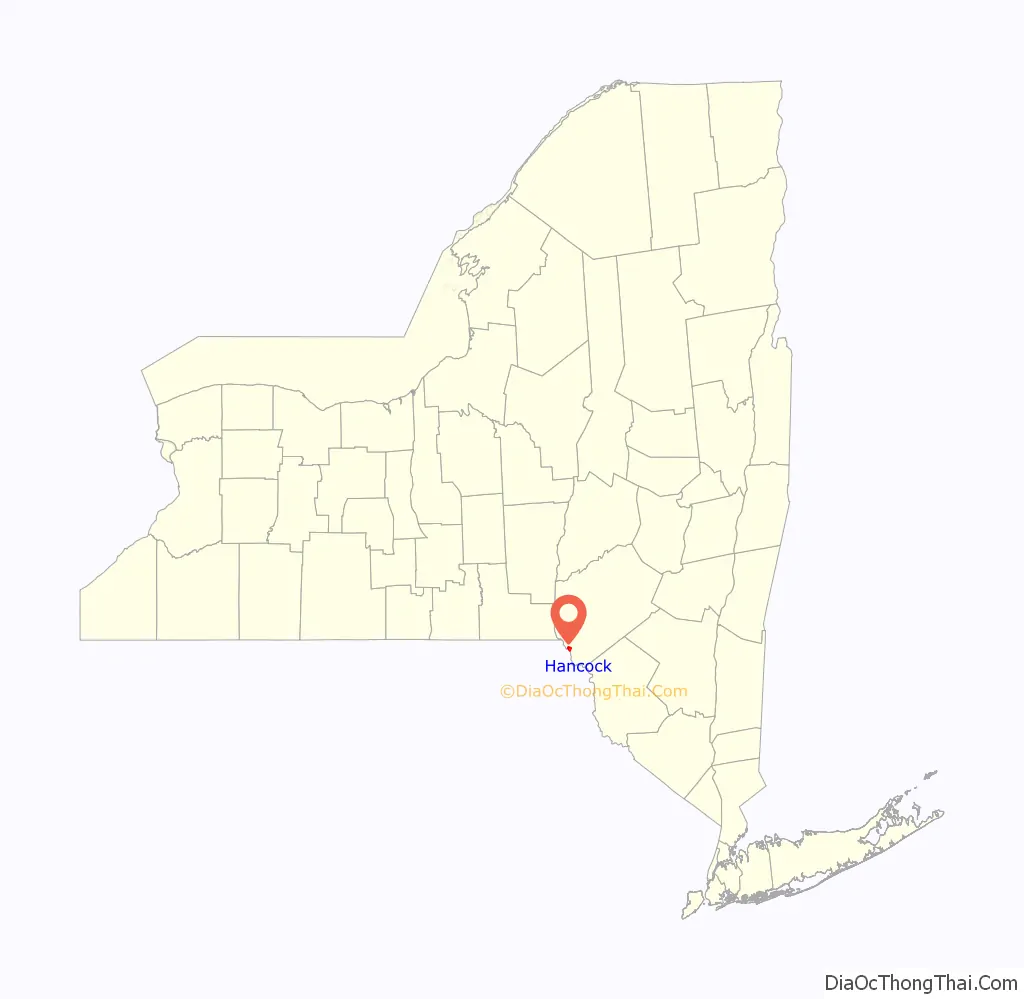
Hancock location map. Where is Hancock village?
Hancock Road Map
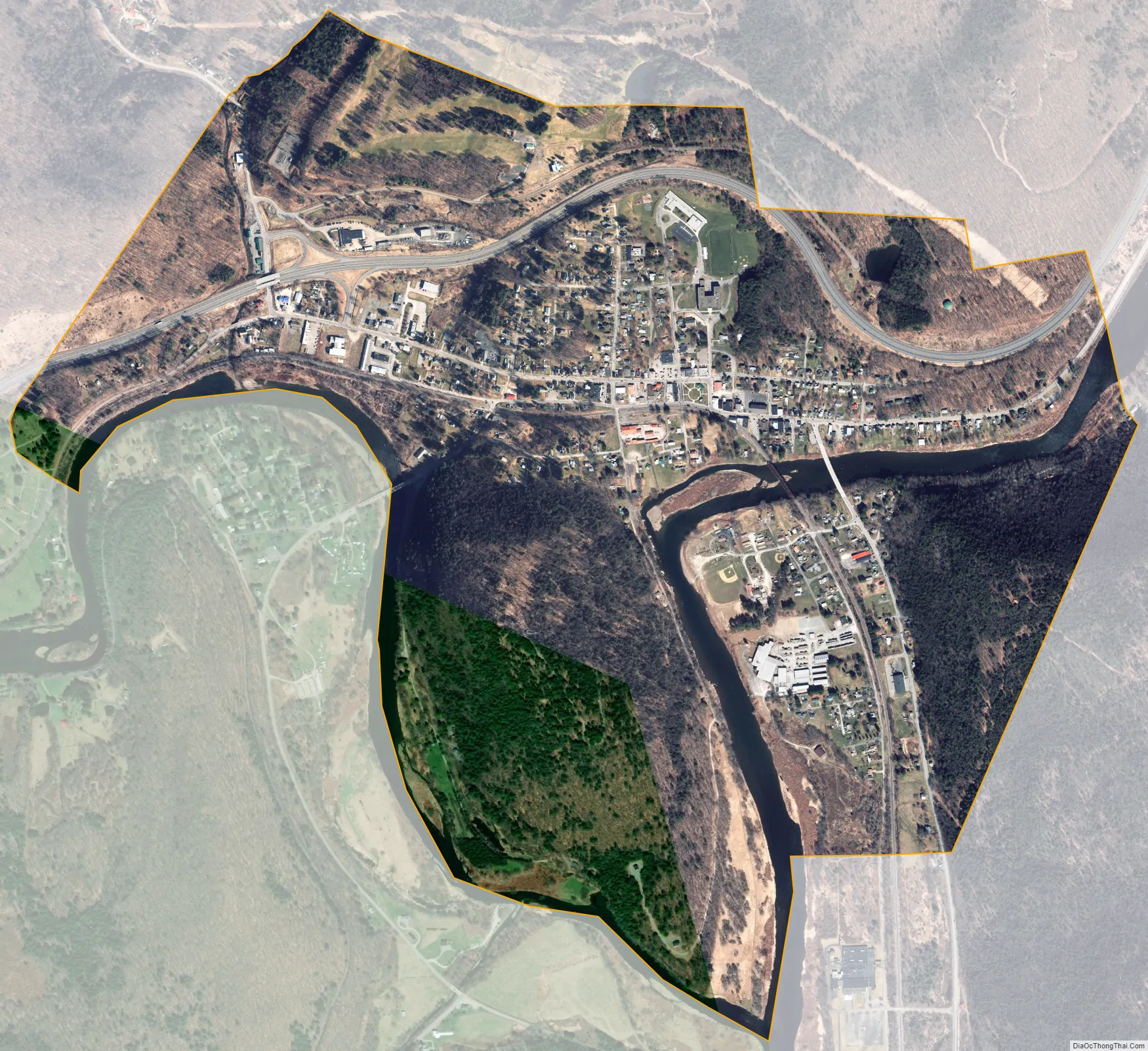
Hancock city Satellite Map
Geography
Hancock is situated at the convergence of the East and West Branch of the Delaware River and borders Pennsylvania. The village is located at 41°57′17″N 75°16′59″W / 41.95472°N 75.28306°W / 41.95472; -75.28306 (41.954764, -75.283326). Hancock is 43 miles (69 km) east of Binghamton with easy access via New York State Route 17. To many, Hancock is considered part of the Southern Tier region, while others regard it a part of the Catskills region. Nevertheless, since it is farther from New York City than Roscoe, it has always been considered to be in Upstate New York.
According to the United States Census Bureau, the village has a total area of 1.7 square miles (4.3 km), of which 1.5 square miles (3.9 km) is land and 0.2 square miles (0.4 km), or 8.57%, is water.
See also
Map of New York State and its subdivision:- Albany
- Allegany
- Bronx
- Broome
- Cattaraugus
- Cayuga
- Chautauqua
- Chemung
- Chenango
- Clinton
- Columbia
- Cortland
- Delaware
- Dutchess
- Erie
- Essex
- Franklin
- Fulton
- Genesee
- Greene
- Hamilton
- Herkimer
- Jefferson
- Kings
- Lake Ontario
- Lewis
- Livingston
- Madison
- Monroe
- Montgomery
- Nassau
- New York
- Niagara
- Oneida
- Onondaga
- Ontario
- Orange
- Orleans
- Oswego
- Otsego
- Putnam
- Queens
- Rensselaer
- Richmond
- Rockland
- Saint Lawrence
- Saratoga
- Schenectady
- Schoharie
- Schuyler
- Seneca
- Steuben
- Suffolk
- Sullivan
- Tioga
- Tompkins
- Ulster
- Warren
- Washington
- Wayne
- Westchester
- Wyoming
- Yates
- Alabama
- Alaska
- Arizona
- Arkansas
- California
- Colorado
- Connecticut
- Delaware
- District of Columbia
- Florida
- Georgia
- Hawaii
- Idaho
- Illinois
- Indiana
- Iowa
- Kansas
- Kentucky
- Louisiana
- Maine
- Maryland
- Massachusetts
- Michigan
- Minnesota
- Mississippi
- Missouri
- Montana
- Nebraska
- Nevada
- New Hampshire
- New Jersey
- New Mexico
- New York
- North Carolina
- North Dakota
- Ohio
- Oklahoma
- Oregon
- Pennsylvania
- Rhode Island
- South Carolina
- South Dakota
- Tennessee
- Texas
- Utah
- Vermont
- Virginia
- Washington
- West Virginia
- Wisconsin
- Wyoming