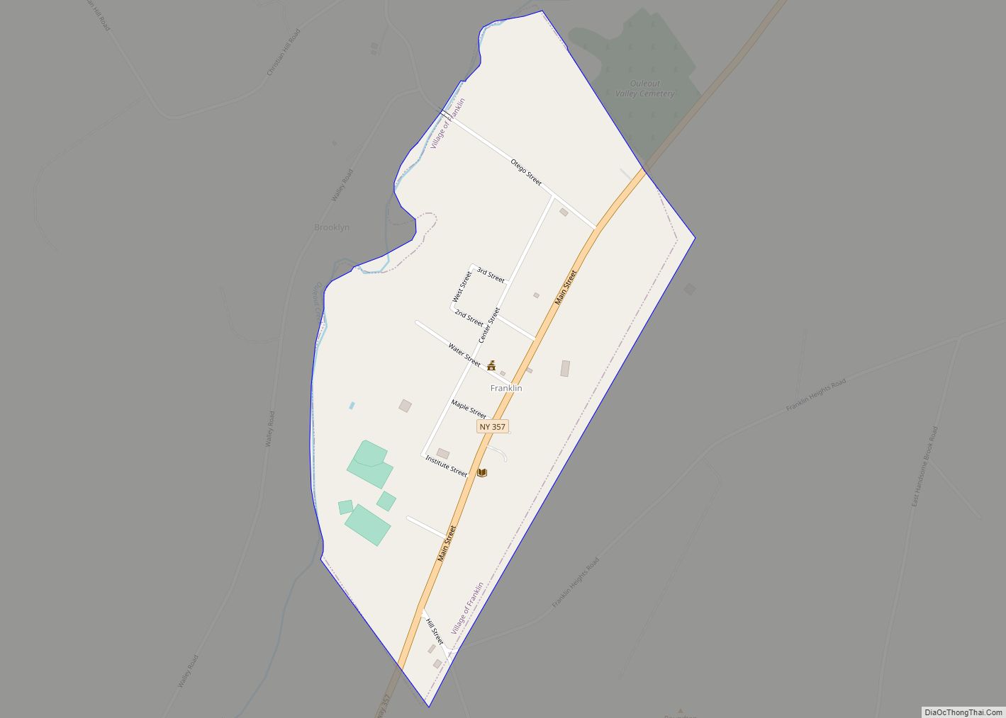
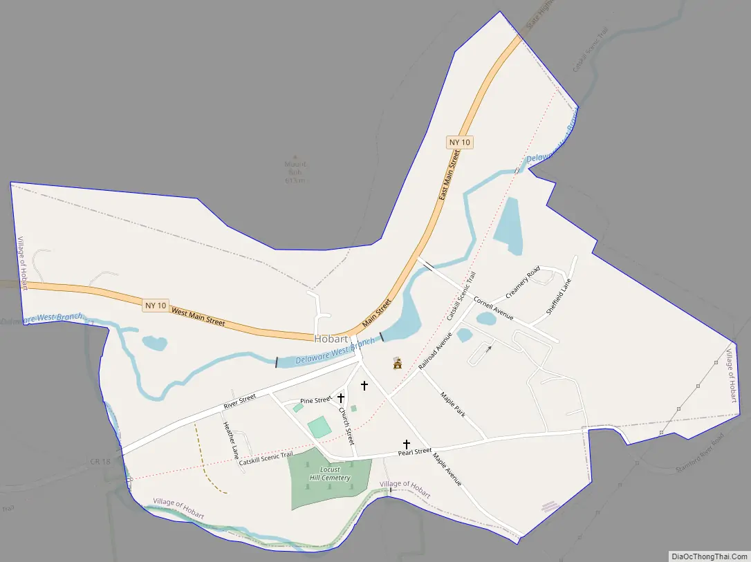
Hobart is a village in Delaware County, New York, United States. The population was 441 at the 2010 census. The village is in the town of Stamford and is on New York Route 10 in the northeastern part of the county.
| Name: | Hobart village |
|---|---|
| LSAD Code: | 47 |
| LSAD Description: | village (suffix) |
| State: | New York |
| County: | Delaware County |
| Elevation: | 1,650 ft (503 m) |
| Total Area: | 0.51 sq mi (1.31 km²) |
| Land Area: | 0.50 sq mi (1.29 km²) |
| Water Area: | 0.01 sq mi (0.02 km²) |
| Total Population: | 351 |
| Population Density: | 704.82/sq mi (272.21/km²) |
| ZIP code: | 13788 |
| Area code: | 607 |
| FIPS code: | 3634979 |
| GNISfeature ID: | 0952909 |
| Website: | www.hobartny.net |
Online Interactive Map
Click on ![]() to view map in "full screen" mode.
to view map in "full screen" mode.
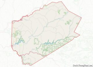
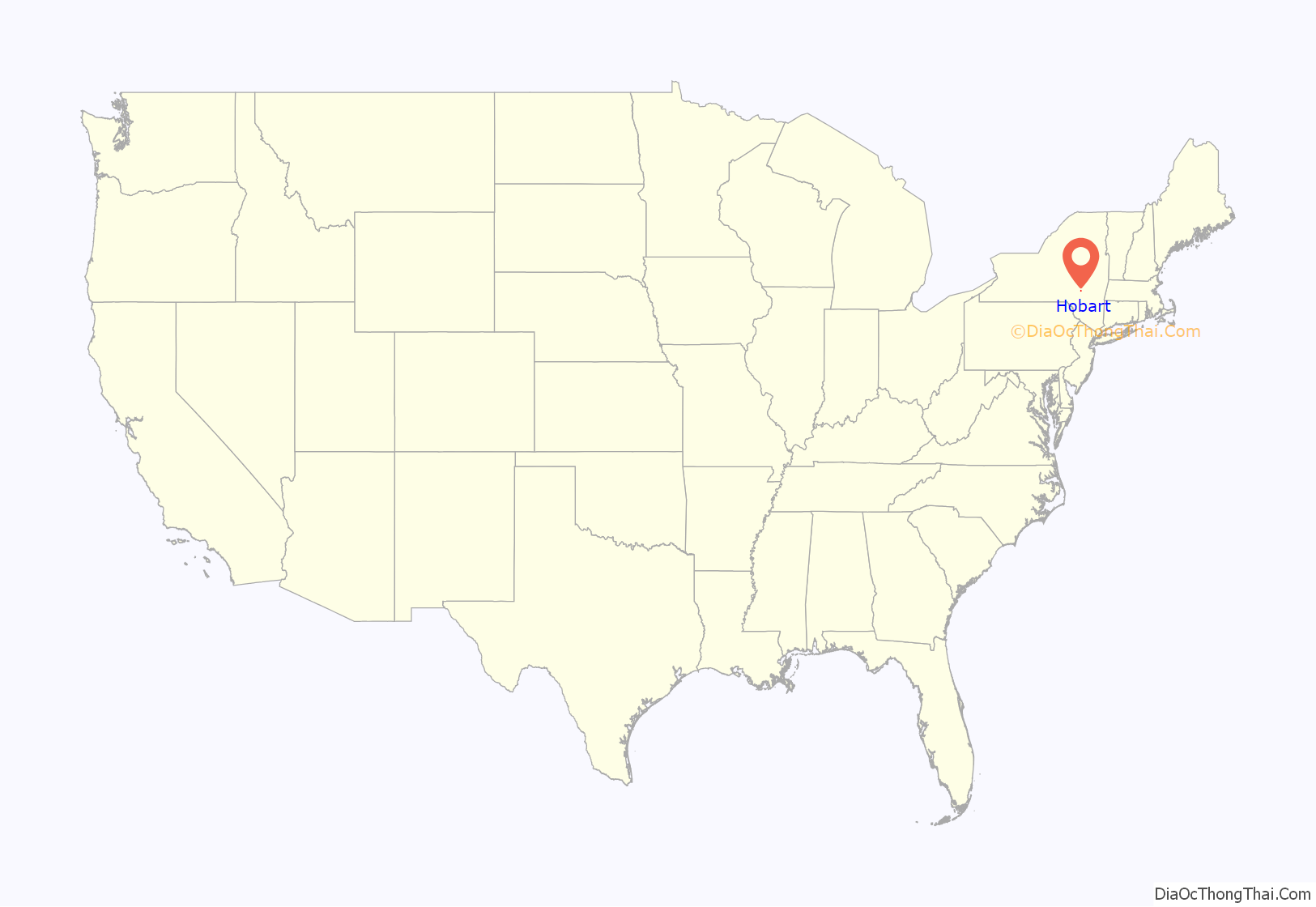
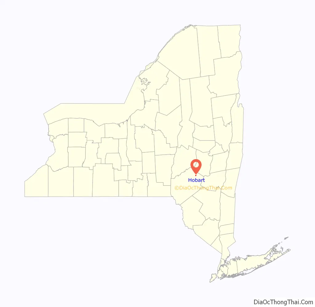
Hobart location map. Where is Hobart village?
History
The village of Hobart was originally named Waterville. When the modern village of Waterville, New York claimed the name in 1808, a new name was sought for the village on the Delaware River. In 1828, the name Hobart was selected, after Bishop John Henry Hobart, then the Bishop of the Episcopal Diocese of New York, who founded St. Peter’s Episcopal Church in the village in September 1819. Bishop Hobart would visit the village again in 1827 before it was renamed. He planned to visit the newly renamed village of Hobart again in October 1830, but died in September 1830, before he could do so.
The Hobart Masonic Hall and the St. Peter’s Episcopal Church Complex are listed on the National Register of Historic Places.
Hobart is noted for being a book village with six independent book stores.
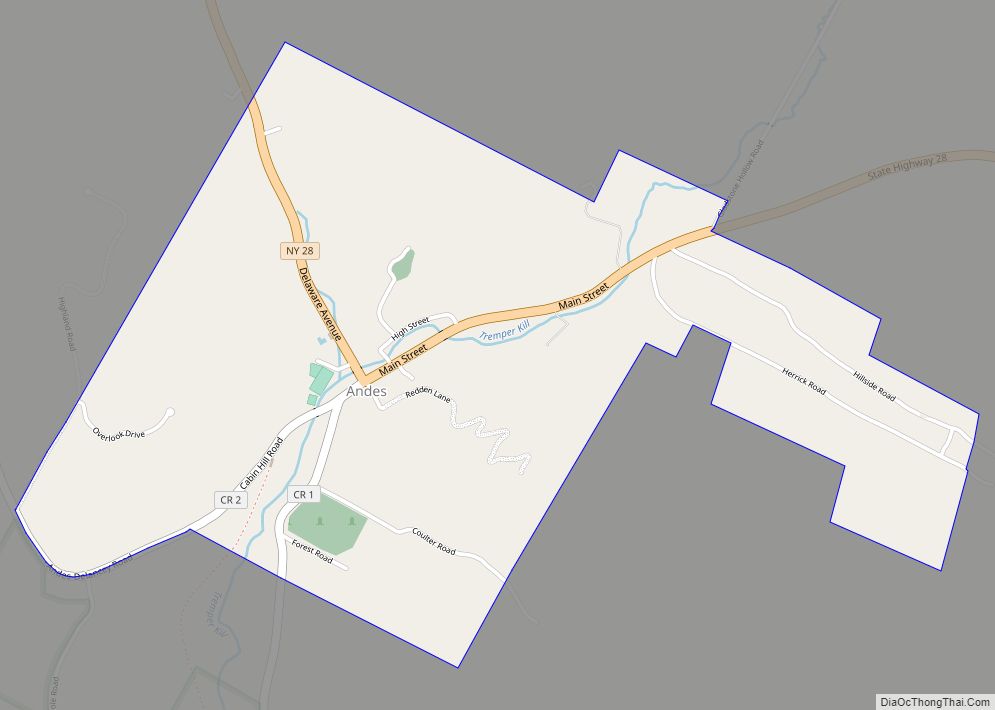
Hobart Road Map
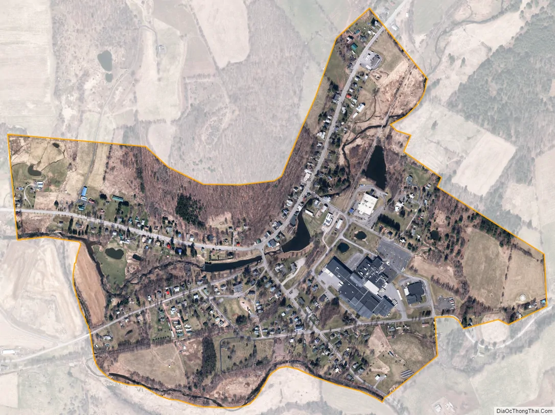
Hobart city Satellite Map
Geography
Hobart is located in the north-central part of the town of Stamford at 42°22′17″N 74°40′7″W / 42.37139°N 74.66861°W / 42.37139; -74.66861 (42.371251, -74.668481), along the upper reaches of the West Branch Delaware River.
According to the United States Census Bureau, the village has a total area of 0.50 square miles (1.3 km), of which 0.01 square miles (0.02 km), or 1.38%, is water.
See also
Map of New York State and its subdivision:- Albany
- Allegany
- Bronx
- Broome
- Cattaraugus
- Cayuga
- Chautauqua
- Chemung
- Chenango
- Clinton
- Columbia
- Cortland
- Delaware
- Dutchess
- Erie
- Essex
- Franklin
- Fulton
- Genesee
- Greene
- Hamilton
- Herkimer
- Jefferson
- Kings
- Lake Ontario
- Lewis
- Livingston
- Madison
- Monroe
- Montgomery
- Nassau
- New York
- Niagara
- Oneida
- Onondaga
- Ontario
- Orange
- Orleans
- Oswego
- Otsego
- Putnam
- Queens
- Rensselaer
- Richmond
- Rockland
- Saint Lawrence
- Saratoga
- Schenectady
- Schoharie
- Schuyler
- Seneca
- Steuben
- Suffolk
- Sullivan
- Tioga
- Tompkins
- Ulster
- Warren
- Washington
- Wayne
- Westchester
- Wyoming
- Yates
- Alabama
- Alaska
- Arizona
- Arkansas
- California
- Colorado
- Connecticut
- Delaware
- District of Columbia
- Florida
- Georgia
- Hawaii
- Idaho
- Illinois
- Indiana
- Iowa
- Kansas
- Kentucky
- Louisiana
- Maine
- Maryland
- Massachusetts
- Michigan
- Minnesota
- Mississippi
- Missouri
- Montana
- Nebraska
- Nevada
- New Hampshire
- New Jersey
- New Mexico
- New York
- North Carolina
- North Dakota
- Ohio
- Oklahoma
- Oregon
- Pennsylvania
- Rhode Island
- South Carolina
- South Dakota
- Tennessee
- Texas
- Utah
- Vermont
- Virginia
- Washington
- West Virginia
- Wisconsin
- Wyoming