Waterville (called Ska-na-wis, “long swamp” by the Haudenosaunee) is a village in Oneida County, New York, United States. According to the 2010 census, its population was 1,583.
| Name: | Waterville village |
|---|---|
| LSAD Code: | 47 |
| LSAD Description: | village (suffix) |
| State: | New York |
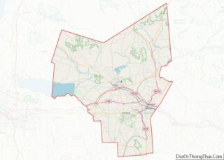
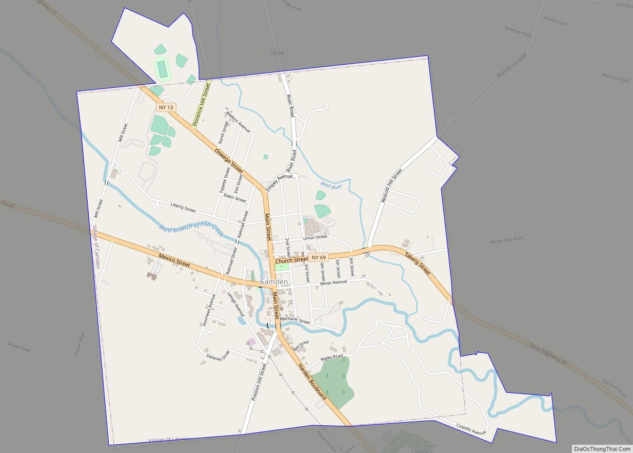
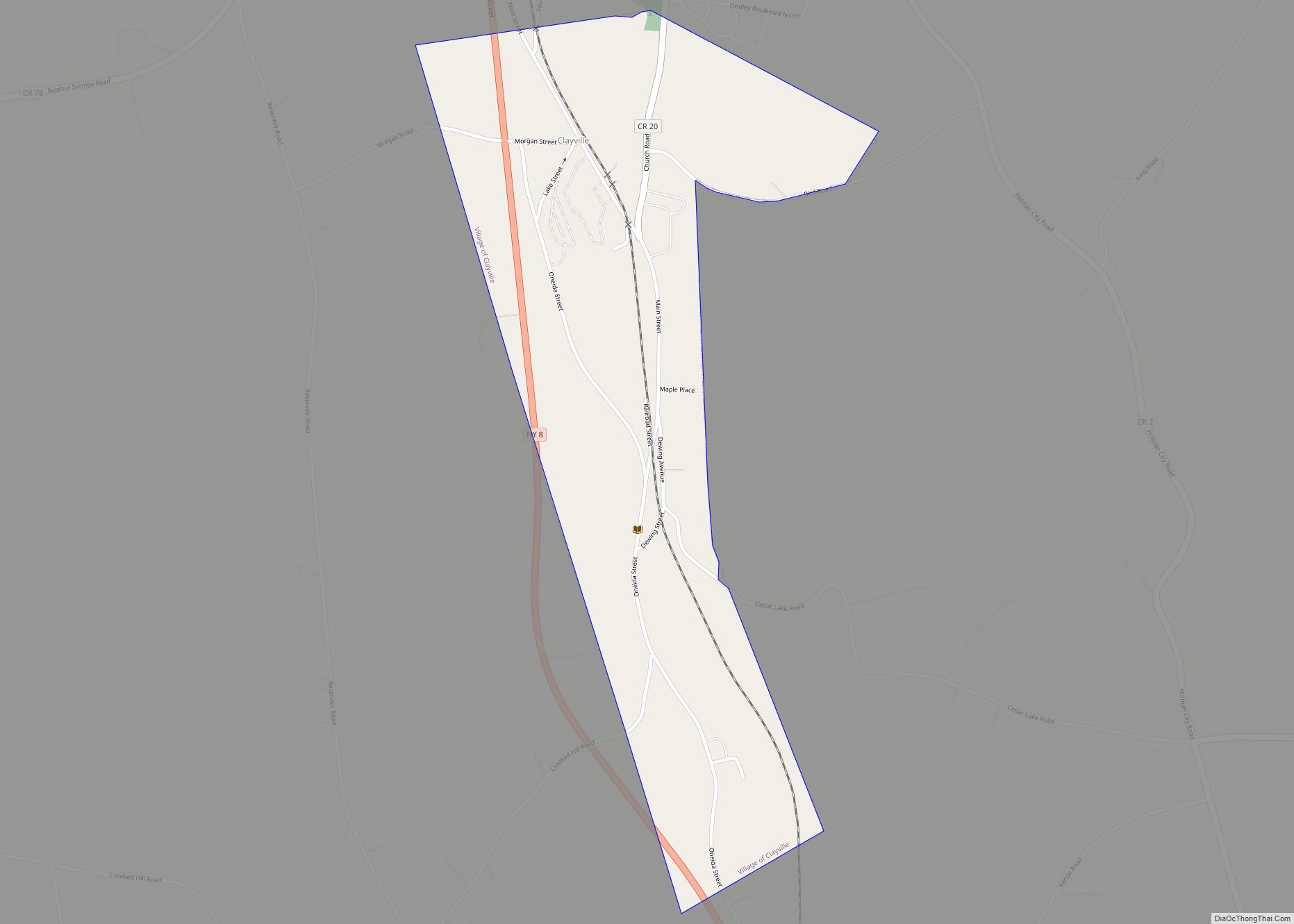
| County: | Oneida County |
| Elevation: | 1,201 ft (366 m) |
| Total Area: | 1.42 sq mi (3.67 km²) |
| Land Area: | 1.42 sq mi (3.67 km²) |
| Water Area: | 0.00 sq mi (0.00 km²) |
| Total Population: | 1,473 |
| Population Density: | 1,040.25/sq mi (401.68/km²) |
| ZIP code: | 13480 |
| Area code: | 315 |
| FIPS code: | 3678663 |
| GNISfeature ID: | 0968917 |
| Website: | www.watervilleny.com |
Online Interactive Map
Click on ![]() to view map in "full screen" mode.
to view map in "full screen" mode.
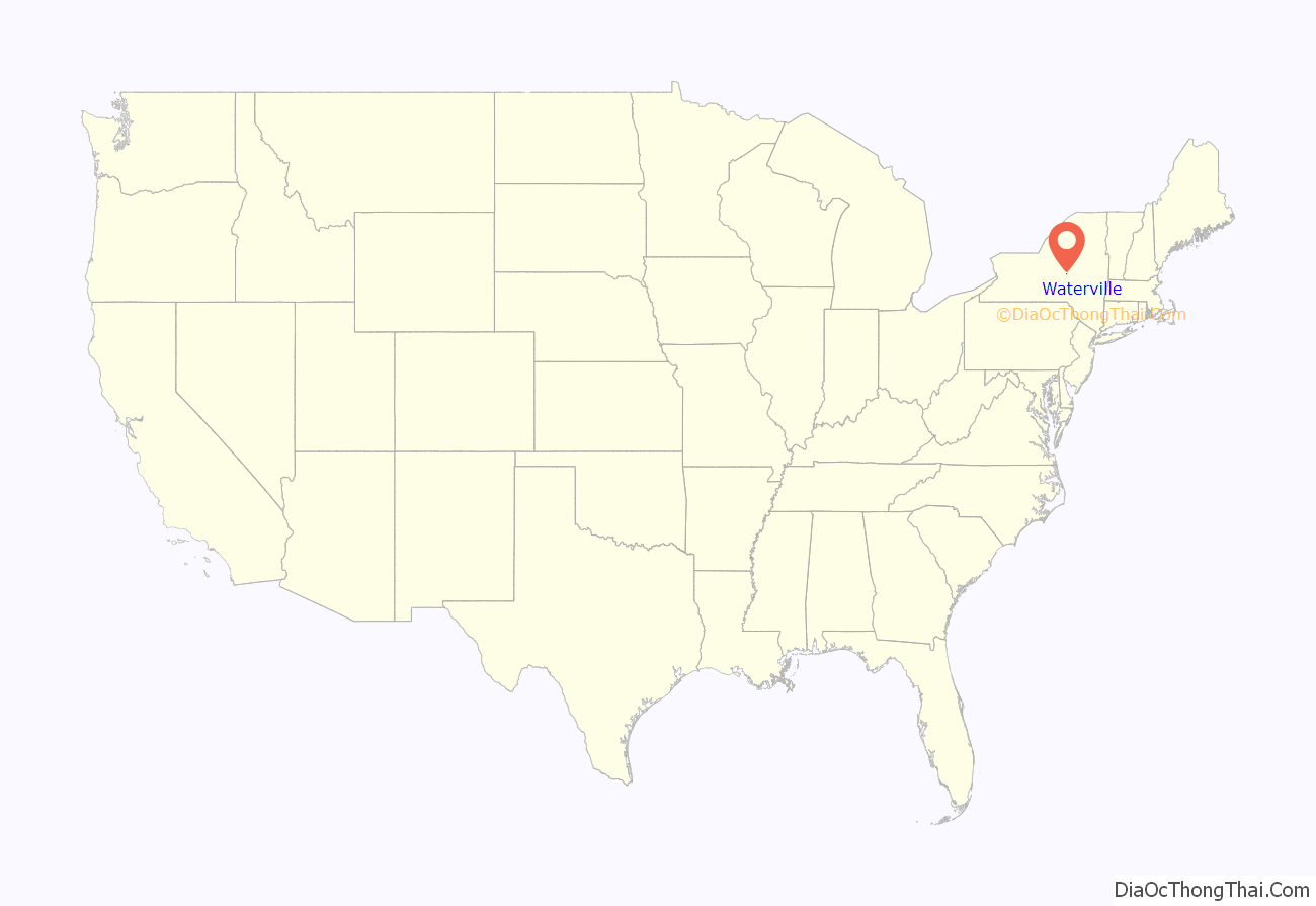
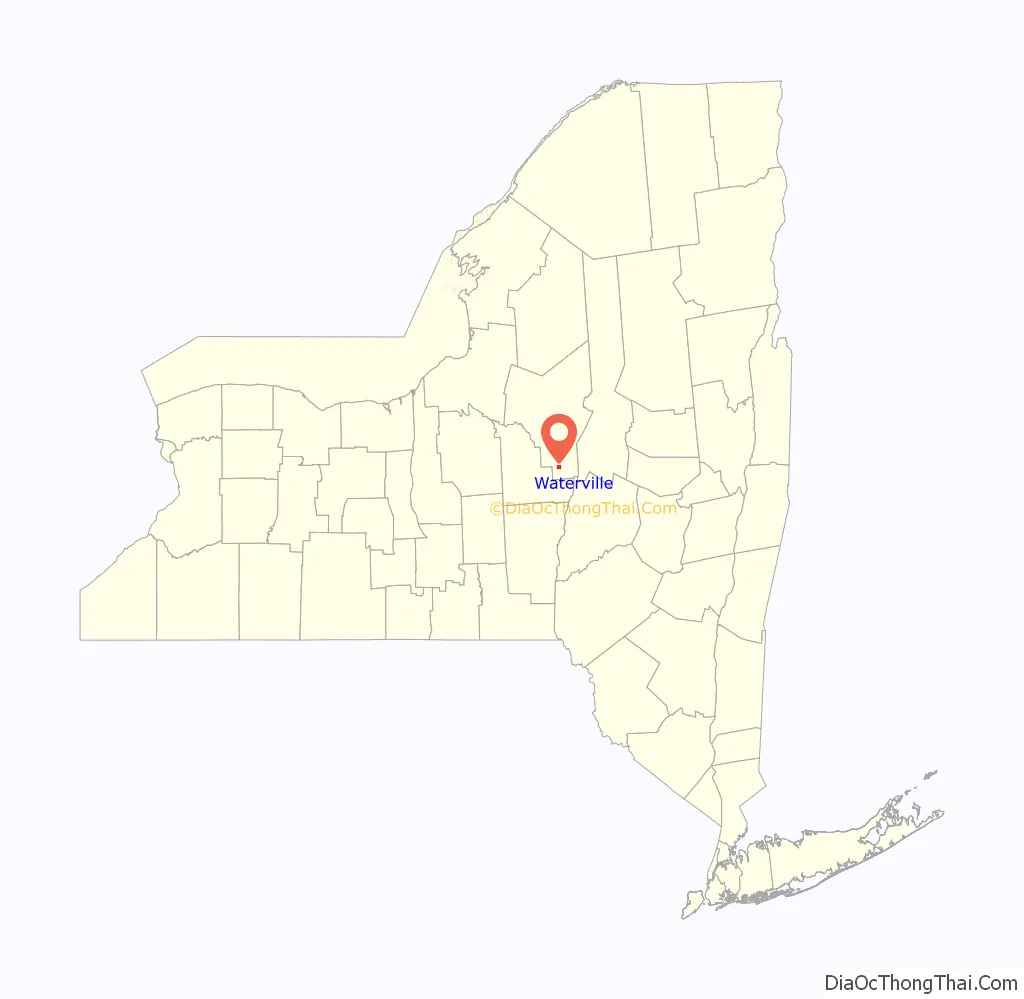
Waterville location map. Where is Waterville village?
History
Long the traditional territory of the Iroquoian-speaking Oneida people of the Haudenosaunee, the Waterville area was first settled by European Americans circa 1792 after the United States’ victory in the American Revolutionary War. The US forced the Iroquois Confederacy to cede most of its land in New York state. The settlement was known as “The Huddle”. In 1808, the settlement formally took the name of Waterville. The village is named after Waterville, Maine.
Hops (humulus lupulus) were introduced to the area in about 1820; by 1875, Waterville was considered the “Hops Capital of the World.” Several inventions related to the cultivation and curing of hops were developed locally, the most important of which was liquid hop extract. The International Hop Stock Exchange was established in the 1860s.
With the introduction of railway service in 1867, chiefly the Delaware, Lackawanna and Western Railroad, Waterville became a major shipping point for hops-related cargo; “Waterville Hops” and hop extract were shipped to brewers all over the world. The economic prosperity fueled by the hop industry was reflected by merchants building fine Victorian-style homes. By the 1920s, hop production began to wane, due primarily to poor agricultural technology. By the close of the 1940s, Waterville’s working hop farms had all been converted to other uses. Some locals continue to grow hops as a recreational “tip of the hat” to Waterville’s past.
The Loomis Gang, a notorious group of horse thieves, lived and operated in the Waterville area during the mid-nineteenth century. Beyond documented history, there is much folklore associated with the Loomis family, including legends of ghosts that haunt the Nine Mile Swamp area located one mile south of Waterville.
Also of interest is the former home of George Eastman, the father of the Kodak Company. Kodak made, and continues to make, high-quality cameras and accessories. The parking lot across from St. Bernard’s Church is the approximate site of Eastman’s former residence.
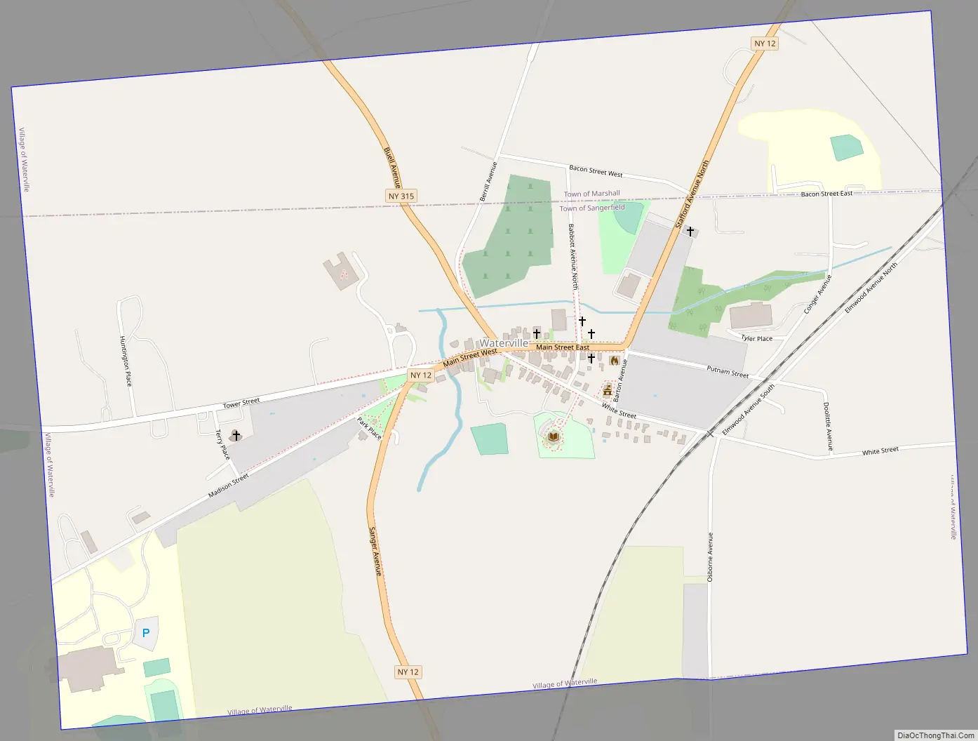
Waterville Road Map
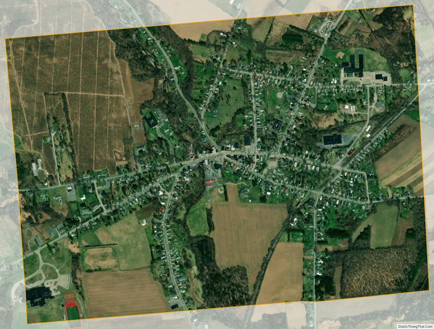
Waterville city Satellite Map
Geography
Waterville is located at 42°55′54″N 75°22′36″W / 42.93167°N 75.37667°W / 42.93167; -75.37667 (42.931591, -75.376538).
The Village of Waterville is on the border of the Town of Marshall and the Town of Sangerfield – two subdivisions of Oneida County.
New York State Route 12 runs north–south through the center of town, where it intersects state route 315. One mile south of the village, U.S. Route 20 runs east–west and intersects Route 12 in Sangerfield.
According to the United States Census Bureau, the village has a total area of 1.3 square miles (3.4 km), all land except Big Creek, a tributary to the Oriskany Creek that runs through the center of town crossing under Sanger Avenue (Route 12) and paralleling Buell Avenue (Route 315). Rolling hills, farmland, and mixed forests are found in the surrounding area. Other nearby bodies of water include Chittening Pond, Bailey Lake, Gorton Lake, the Waterville Reservoirs (headwaters of Big Creek) and the Nine Mile Swamp.
The nearest city, Utica, lies approximately fifteen miles north of the village. At 1,200 feet MSL, the village is at a higher elevation than Utica, which is located in the Mohawk River Valley. By Route 20, Waterville is approximately sixty miles east of Syracuse and eighty miles west of Albany.
To the east of the village is Tassel Hill, the highest point in Oneida County at 1,945 feet above sea level. Tassel Hill is located in the Tassel Hill State Forest, which offers all-season recreational opportunities such as camping, hiking, biking, ATV-riding, and snowmobiling. Nearby is the Albert J. Woodford State Forest.
See also
Map of New York State and its subdivision:- Albany
- Allegany
- Bronx
- Broome
- Cattaraugus
- Cayuga
- Chautauqua
- Chemung
- Chenango
- Clinton
- Columbia
- Cortland
- Delaware
- Dutchess
- Erie
- Essex
- Franklin
- Fulton
- Genesee
- Greene
- Hamilton
- Herkimer
- Jefferson
- Kings
- Lake Ontario
- Lewis
- Livingston
- Madison
- Monroe
- Montgomery
- Nassau
- New York
- Niagara
- Oneida
- Onondaga
- Ontario
- Orange
- Orleans
- Oswego
- Otsego
- Putnam
- Queens
- Rensselaer
- Richmond
- Rockland
- Saint Lawrence
- Saratoga
- Schenectady
- Schoharie
- Schuyler
- Seneca
- Steuben
- Suffolk
- Sullivan
- Tioga
- Tompkins
- Ulster
- Warren
- Washington
- Wayne
- Westchester
- Wyoming
- Yates
- Alabama
- Alaska
- Arizona
- Arkansas
- California
- Colorado
- Connecticut
- Delaware
- District of Columbia
- Florida
- Georgia
- Hawaii
- Idaho
- Illinois
- Indiana
- Iowa
- Kansas
- Kentucky
- Louisiana
- Maine
- Maryland
- Massachusetts
- Michigan
- Minnesota
- Mississippi
- Missouri
- Montana
- Nebraska
- Nevada
- New Hampshire
- New Jersey
- New Mexico
- New York
- North Carolina
- North Dakota
- Ohio
- Oklahoma
- Oregon
- Pennsylvania
- Rhode Island
- South Carolina
- South Dakota
- Tennessee
- Texas
- Utah
- Vermont
- Virginia
- Washington
- West Virginia
- Wisconsin
- Wyoming