Hornell is a city in Steuben County, New York, United States. The population was 8,259 at the 2020 census. The city is named after the Hornell family, early settlers.
The City of Hornell is surrounded by Town of Hornellsville. Hornell is about 55 miles (89 km) south of Rochester and is near the western edge of Steuben County.
Hornell is nicknamed the “Maple City” after the large maple trees that once grew throughout the town and covered the surrounding hills of the Canisteo Valley. Hornell has the largest Saint Patrick’s Day parade and celebration in the area, bringing many out to welcome spring and show their green.
| Name: | Hornell city |
|---|---|
| LSAD Code: | 25 |
| LSAD Description: | city (suffix) |
| State: | New York |
| County: | Steuben County |
| Elevation: | 1,161 ft (354 m) |
| Total Area: | 3.28 sq mi (8.49 km²) |
| Land Area: | 3.28 sq mi (8.49 km²) |
| Water Area: | 0.00 sq mi (0.00 km²) |
| Total Population: | 8,259 |
| Population Density: | 2,519.98/sq mi (973.08/km²) |
| ZIP code: | 14843 |
| Area code: | 607 |
| FIPS code: | 3635672 |
| GNISfeature ID: | 0975771 |
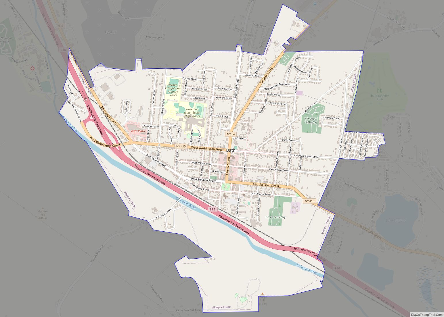
Online Interactive Map
Click on ![]() to view map in "full screen" mode.
to view map in "full screen" mode.
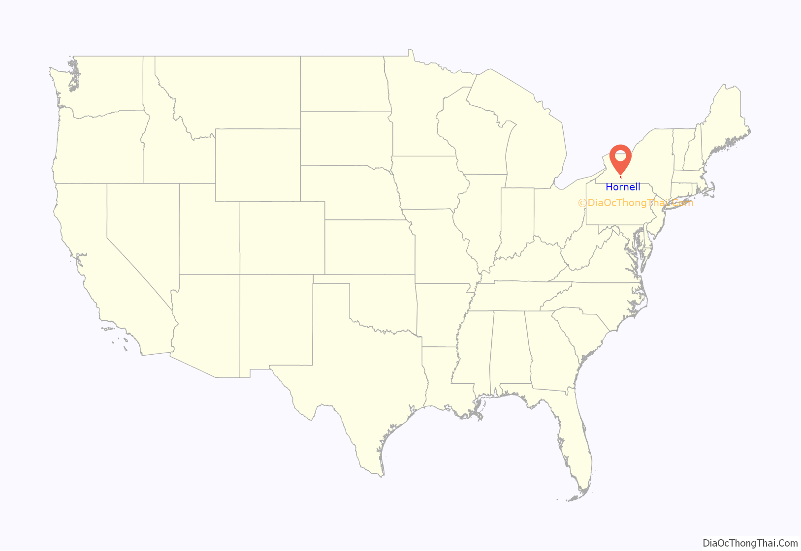
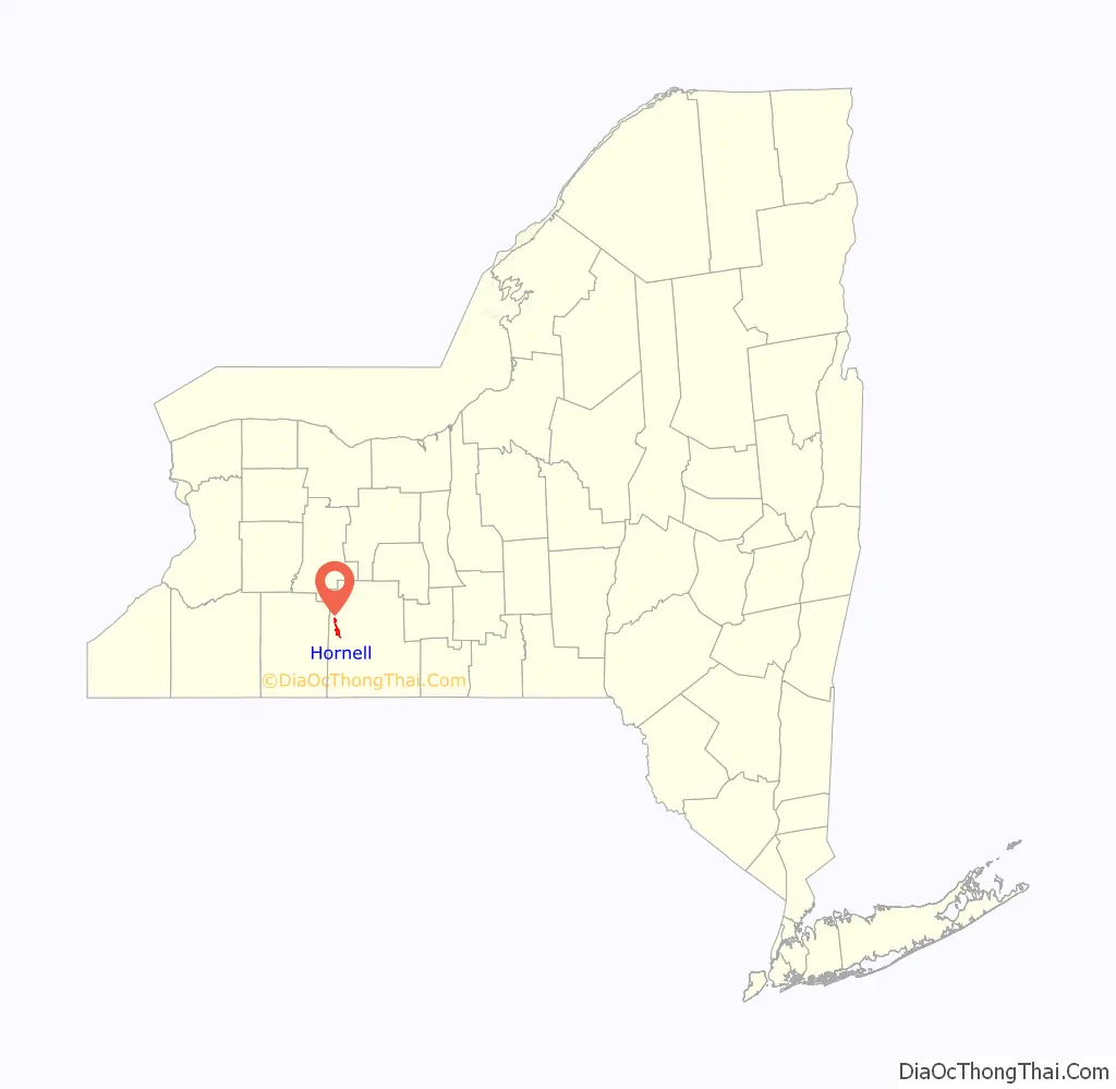
Hornell location map. Where is Hornell city?
History
What is now Hornell was first settled in 1790 under the name “Upper Canisteo”, to distinguish it from the community of Canisteo, then known as “Lower Canisteo”. The family of Benjamin Crosby were the first settlers in what is now Hornell. The area was incorporated as a town in 1820, as “Hornellsville.” The name comes from early settler George Hornell Jr, who built the first gristmill here.
The City of Hornell was chartered in 1888 as the “City of Hornellsville,” (having been first organized as the “Village of Hornellsville” in 1852). The name was changed to Hornell in 1906.
Major flooding in 1936 put parts of the city under water, prompting the creation of a system of levees to prevent future serious flooding issues.
The former city park, Union Park, was destroyed by the highway construction of the 1970s.
In 1950, Hornell had a population just above 15,000 people. It had two radio stations, WWHG and WLEA, and three movie theaters – the Steuben and the Majestic were located on Broadway, the Hornell on Main Street.
The current mayor of Hornell is Republican John Buckley.
The Hornell Armory, Hornell Public Library, Adsit House, Lincoln School, St. Ann’s Federation Building, and United States Post Office are listed on the National Register of Historic Places.
Hornell Road Map
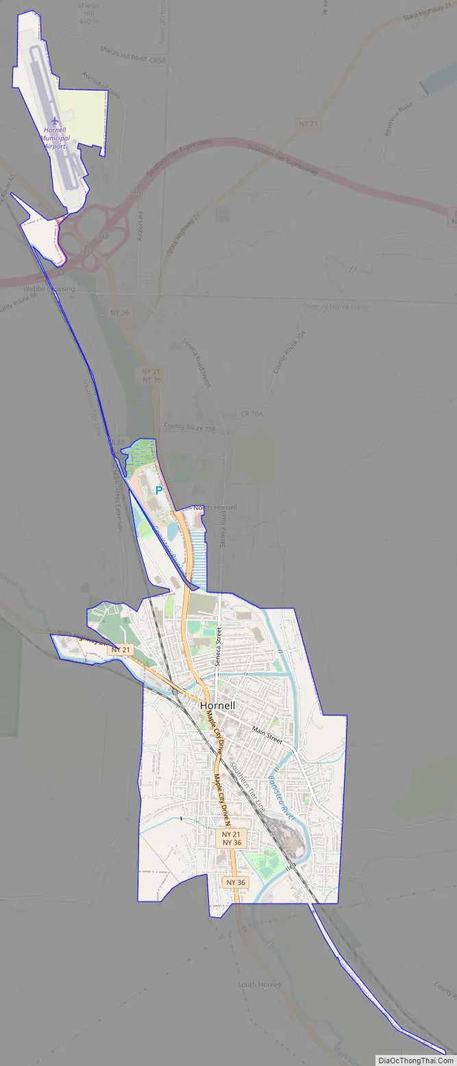
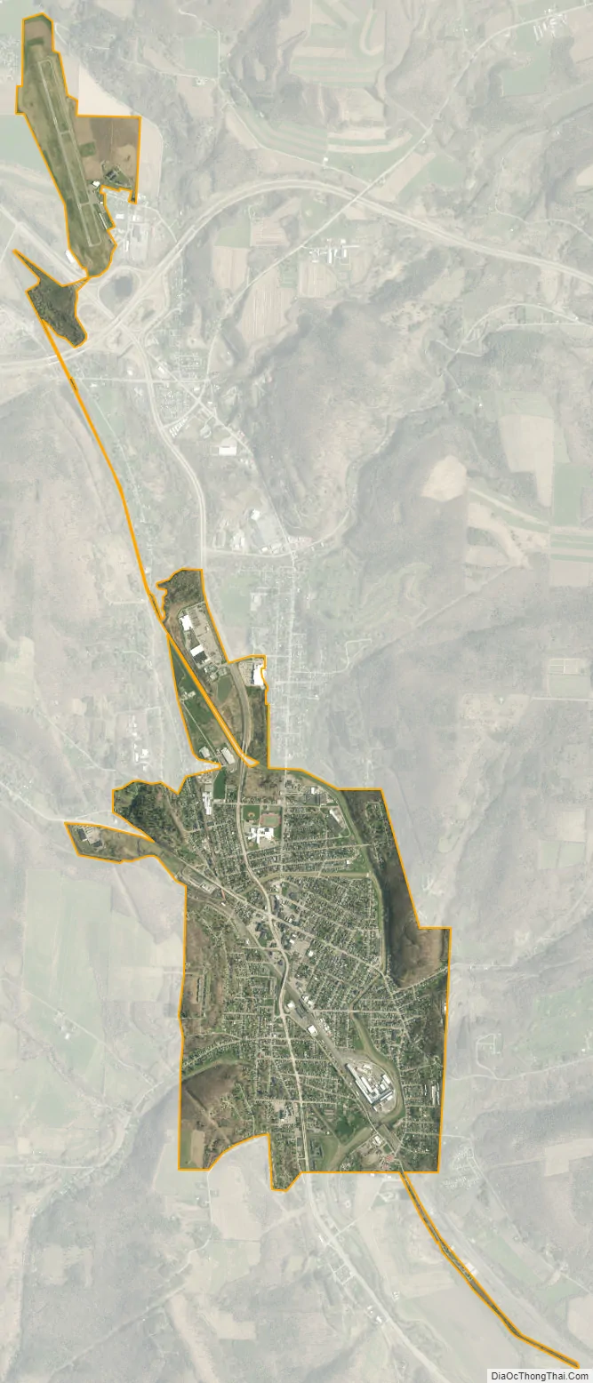
Hornell city Satellite Map
Geography
Hornell is located at 42°19′N 77°40′W / 42.317°N 77.667°W / 42.317; -77.667 (42.3244, -77.6603). Hornell is at an altitude of 1,160 feet (350 meters) above sea level.
According to the United States Census Bureau, the city has a total area of 2.7 square miles (7.0 km), all land.
Hornell is on the Canisteo River and surrounded by the foothills of the Allegheny Mountains.
See also
Map of New York State and its subdivision:- Albany
- Allegany
- Bronx
- Broome
- Cattaraugus
- Cayuga
- Chautauqua
- Chemung
- Chenango
- Clinton
- Columbia
- Cortland
- Delaware
- Dutchess
- Erie
- Essex
- Franklin
- Fulton
- Genesee
- Greene
- Hamilton
- Herkimer
- Jefferson
- Kings
- Lake Ontario
- Lewis
- Livingston
- Madison
- Monroe
- Montgomery
- Nassau
- New York
- Niagara
- Oneida
- Onondaga
- Ontario
- Orange
- Orleans
- Oswego
- Otsego
- Putnam
- Queens
- Rensselaer
- Richmond
- Rockland
- Saint Lawrence
- Saratoga
- Schenectady
- Schoharie
- Schuyler
- Seneca
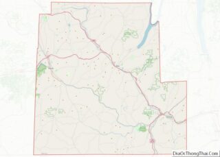
- Steuben
- Suffolk
- Sullivan
- Tioga
- Tompkins
- Ulster
- Warren
- Washington
- Wayne
- Westchester
- Wyoming
- Yates
- Alabama
- Alaska
- Arizona
- Arkansas
- California
- Colorado
- Connecticut
- Delaware
- District of Columbia
- Florida
- Georgia
- Hawaii
- Idaho
- Illinois
- Indiana
- Iowa
- Kansas
- Kentucky
- Louisiana
- Maine
- Maryland
- Massachusetts
- Michigan
- Minnesota
- Mississippi
- Missouri
- Montana
- Nebraska
- Nevada
- New Hampshire
- New Jersey
- New Mexico
- New York
- North Carolina
- North Dakota
- Ohio
- Oklahoma
- Oregon
- Pennsylvania
- Rhode Island
- South Carolina
- South Dakota
- Tennessee
- Texas
- Utah
- Vermont
- Virginia
- Washington
- West Virginia
- Wisconsin
- Wyoming