Hyde Park is a hamlet and census-designated place (CDP) in the town of Hyde Park, Dutchess County, New York, United States. Its population was 1,908 as of the 2010 census.
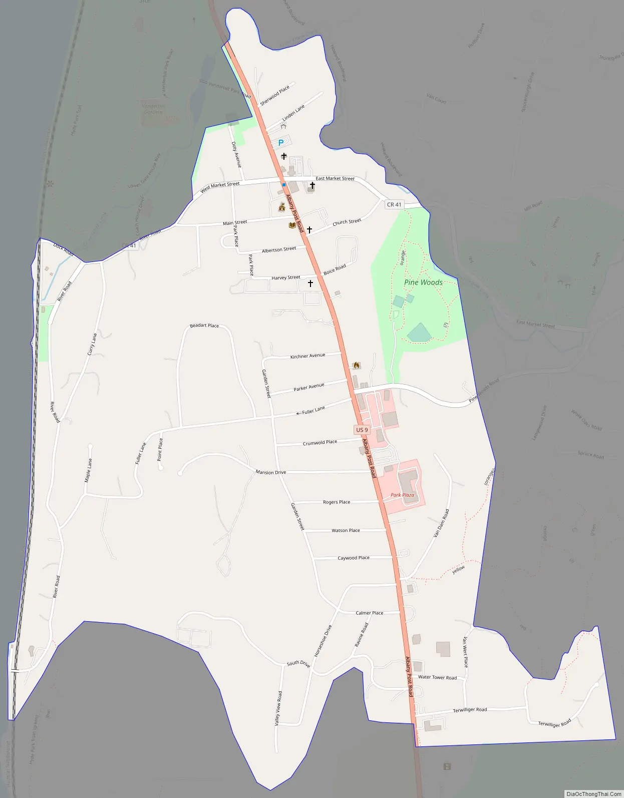
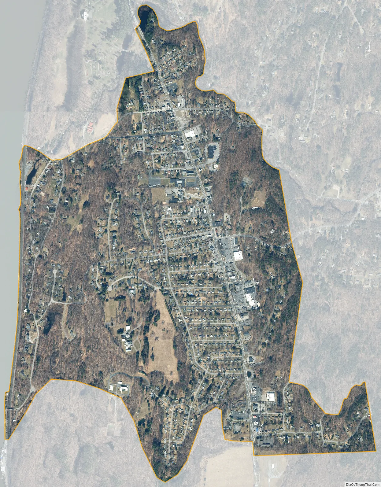
The hamlet of Hyde Park is on the western side of the town of Hyde Park, bordered on the west by the Hudson River. The northern edge of the hamlet is Crum Elbow Creek, a tributary of the Hudson. On the north side of the creek, just outside the hamlet, is the Vanderbilt Mansion National Historic Site. The Springwood Estate, preserved as the Home of Franklin D. Roosevelt National Historic Site, is just outside the hamlet to the south.
U.S. Route 9 passes through the center of the hamlet, leading north 5 miles (8 km) to Staatsburg and south 6 miles (10 km) to Poughkeepsie, the county seat.
| Name: | Hyde Park CDP |
|---|---|
| LSAD Code: | 57 |
| LSAD Description: | CDP (suffix) |
| State: | New York |
| County: | Dutchess County |
| Elevation: | 187 ft (57 m) |
| Total Area: | 1.24 sq mi (3.22 km²) |
| Land Area: | 1.24 sq mi (3.22 km²) |
| Water Area: | 0.00 sq mi (0.00 km²) |
| Total Population: | 1,925 |
| Population Density: | 1,549.92/sq mi (598.22/km²) |
| ZIP code: | 12538 |
| Area code: | 845 |
| FIPS code: | 3637198 |
| GNISfeature ID: | 0953559 |
Online Interactive Map
Click on ![]() to view map in "full screen" mode.
to view map in "full screen" mode.
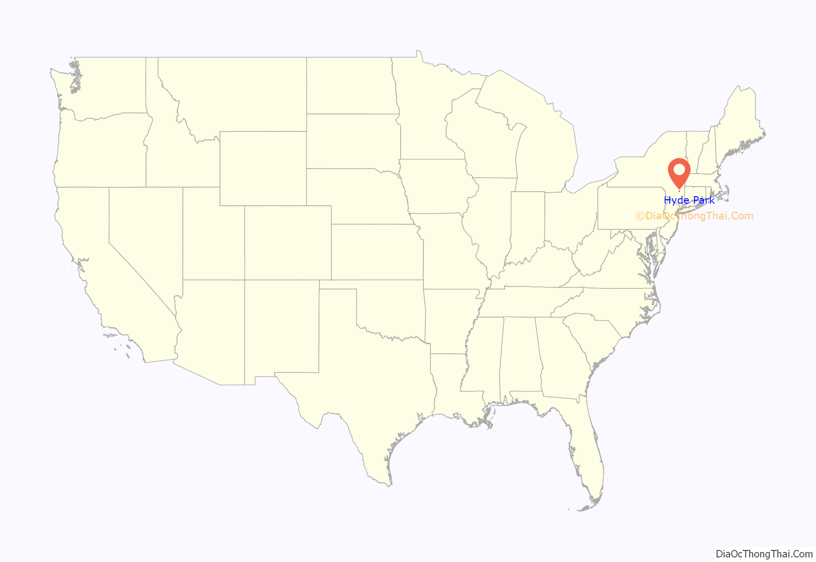
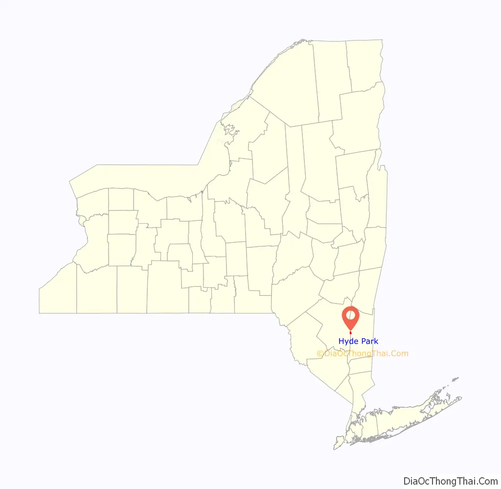
Hyde Park location map. Where is Hyde Park CDP?
Hyde Park Road Map
Hyde Park city Satellite Map
Geography
According to the U.S. Census Bureau, the Hyde Park CDP has an area of 1.2 square miles (3.1 km), all land.
See also
Map of New York State and its subdivision:- Albany
- Allegany
- Bronx
- Broome
- Cattaraugus
- Cayuga
- Chautauqua
- Chemung
- Chenango
- Clinton
- Columbia
- Cortland
- Delaware
- Dutchess
- Erie
- Essex
- Franklin
- Fulton
- Genesee
- Greene
- Hamilton
- Herkimer
- Jefferson
- Kings
- Lake Ontario
- Lewis
- Livingston
- Madison
- Monroe
- Montgomery
- Nassau
- New York
- Niagara
- Oneida
- Onondaga
- Ontario
- Orange
- Orleans
- Oswego
- Otsego
- Putnam
- Queens
- Rensselaer
- Richmond
- Rockland
- Saint Lawrence
- Saratoga
- Schenectady
- Schoharie
- Schuyler
- Seneca
- Steuben
- Suffolk
- Sullivan
- Tioga
- Tompkins
- Ulster
- Warren
- Washington
- Wayne
- Westchester
- Wyoming
- Yates
- Alabama
- Alaska
- Arizona
- Arkansas
- California
- Colorado
- Connecticut
- Delaware
- District of Columbia
- Florida
- Georgia
- Hawaii
- Idaho
- Illinois
- Indiana
- Iowa
- Kansas
- Kentucky
- Louisiana
- Maine
- Maryland
- Massachusetts
- Michigan
- Minnesota
- Mississippi
- Missouri
- Montana
- Nebraska
- Nevada
- New Hampshire
- New Jersey
- New Mexico
- New York
- North Carolina
- North Dakota
- Ohio
- Oklahoma
- Oregon
- Pennsylvania
- Rhode Island
- South Carolina
- South Dakota
- Tennessee
- Texas
- Utah
- Vermont
- Virginia
- Washington
- West Virginia
- Wisconsin
- Wyoming


