Inwood is a hamlet and census-designated place (CDP) in Nassau County, on Long Island, in New York, United States. The population was 9,792 at the 2010 census. It is considered part of Long Island’s Five Towns area and is located within the Town of Hempstead.
| Name: | Inwood CDP |
|---|---|
| LSAD Code: | 57 |
| LSAD Description: | CDP (suffix) |
| State: | New York |
| County: | Nassau County |
| Elevation: | 10 ft (3 m) |
| Total Area: | 2.21 sq mi (5.73 km²) |
| Land Area: | 1.59 sq mi (4.13 km²) |
| Water Area: | 0.62 sq mi (1.60 km²) |
| Total Population: | 11,340 |
| Population Density: | 7,109.72/sq mi (2,745.20/km²) |
| ZIP code: | 11096 |
| Area code: | 516 |
| FIPS code: | 3637583 |
| GNISfeature ID: | 0953741 |
Online Interactive Map
Click on ![]() to view map in "full screen" mode.
to view map in "full screen" mode.
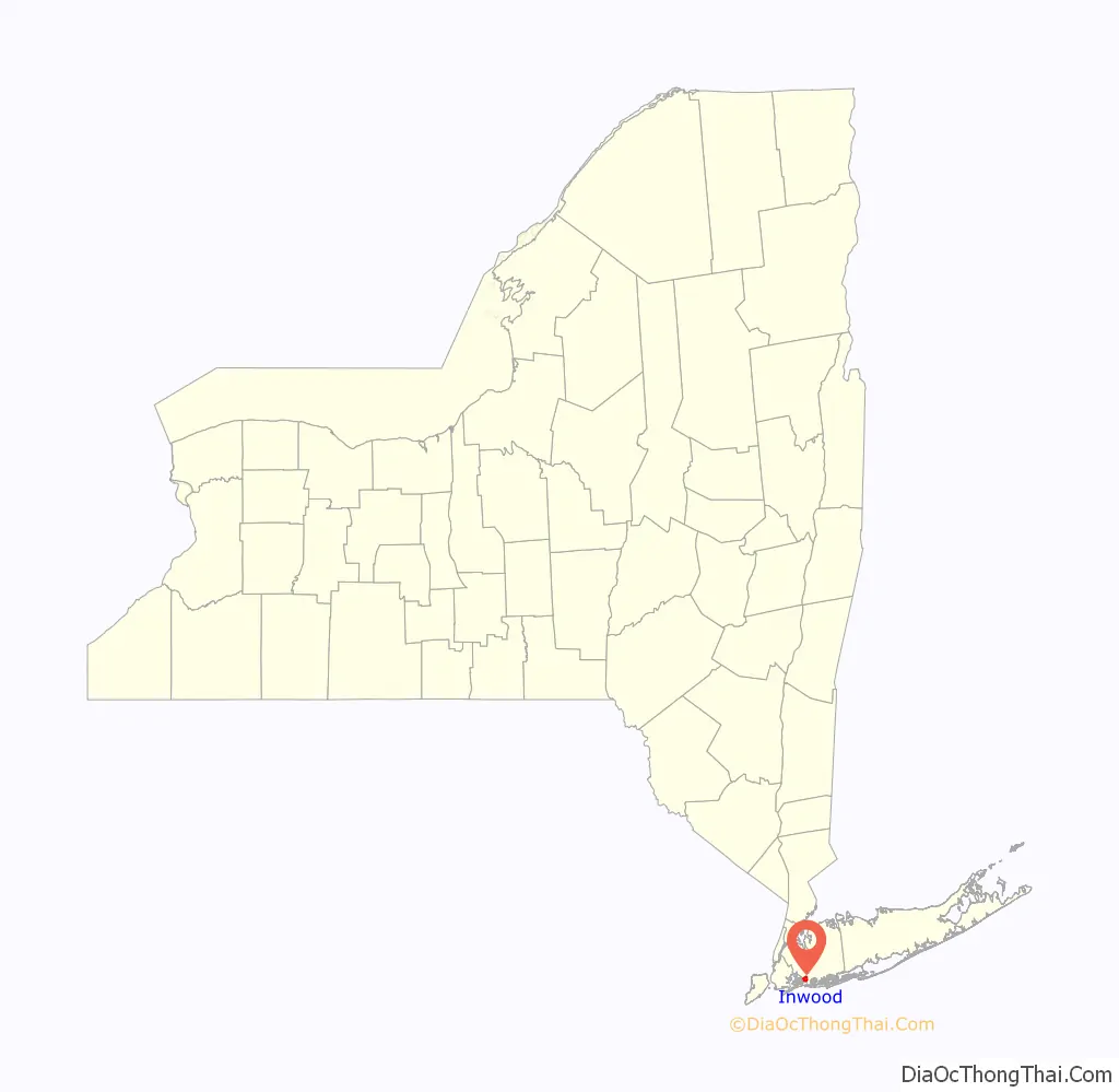
Inwood location map. Where is Inwood CDP?

History
Inwood was first settled in 1600s. Like many other nearby communities, the area was known as Near Rockaway. A meeting was held by the Town of Hempstead on January 16, 1663, and during that meeting, the name of what is now Inwood was changed to North West Point (also spelled as Northwest Point), named after its geographic position in relation to the more central part of Far Rockaway, which it was then part of. It became the first area which was once known as Near Rockaway to be given its own name. Its original settlers were Jamaica Bay fishermen, generally lawless and troublesome to other Rockaway residents. Soon after the American Civil War, the area in 1871 became known as Westville. The Westville designation was used until residents petitioned for the United States Postal Service to establish a post office in the community. The post office refused as a Westville already existed upstate. This led locals to change the community’s name to Inwood in December 1888. This name received the most votes; the other proposed names included Bayhead, Springhaven, Radwayton, Elco, Raway, Pike’s Peak, and Custer. By changing the name, the locals were able to get a post office for Inwood, which opened on February 25, 1889.
The post office closed ca. 1920, and it was not until 1949 when a new post office would open in the community (although an unsuccessful attempt was made in 1932).
The first true road in the area, the Inwood end of Lord Avenue, was built when the neighboring village of Lawrence was developed.
When the first post office in the village was established on February 25, 1889, the name of the village was changed to Inwood; a post office named Westville already existed in New York State. By the time of World War I, a large part of Inwood’s population was of Italian and Albanian extraction.
Inwood is home to the famous Inwood Country Club which was the site of the 1921 PGA Championship as well as the 1923 U.S. Open.
Inwood Road Map

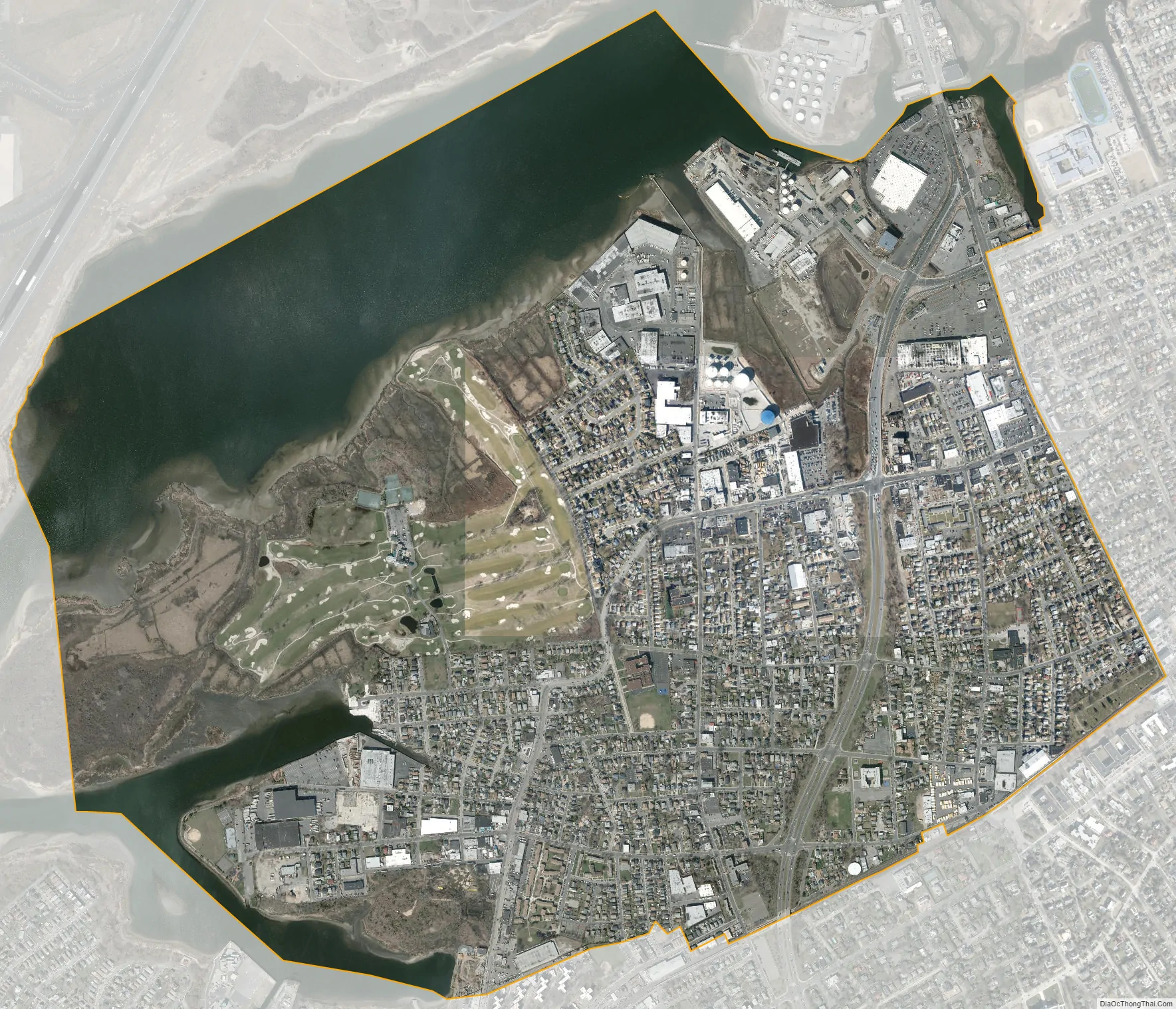
Inwood city Satellite Map
Geography
According to the United States Census Bureau, the CDP has a total area of 2.1 square miles (5.4 km), of which 1.7 square miles (4.4 km) is land and 0.4 square miles (1.0 km) (20.19%) is water.
Inwood’s northernmost and westernmost boundaries border Queens in the City of New York.
Inwood is bisected by the Nassau Expressway (New York State Route 878).
See also
Map of New York State and its subdivision:- Albany
- Allegany
- Bronx
- Broome
- Cattaraugus
- Cayuga
- Chautauqua
- Chemung
- Chenango
- Clinton
- Columbia
- Cortland
- Delaware
- Dutchess
- Erie
- Essex
- Franklin
- Fulton
- Genesee
- Greene
- Hamilton
- Herkimer
- Jefferson
- Kings
- Lake Ontario
- Lewis
- Livingston
- Madison
- Monroe
- Montgomery
- Nassau
- New York
- Niagara
- Oneida
- Onondaga
- Ontario
- Orange
- Orleans
- Oswego
- Otsego
- Putnam
- Queens
- Rensselaer
- Richmond
- Rockland
- Saint Lawrence
- Saratoga
- Schenectady
- Schoharie
- Schuyler
- Seneca
- Steuben
- Suffolk
- Sullivan
- Tioga
- Tompkins
- Ulster
- Warren
- Washington
- Wayne
- Westchester
- Wyoming
- Yates
- Alabama
- Alaska
- Arizona
- Arkansas
- California
- Colorado
- Connecticut
- Delaware
- District of Columbia
- Florida
- Georgia
- Hawaii
- Idaho
- Illinois
- Indiana
- Iowa
- Kansas
- Kentucky
- Louisiana
- Maine
- Maryland
- Massachusetts
- Michigan
- Minnesota
- Mississippi
- Missouri
- Montana
- Nebraska
- Nevada
- New Hampshire
- New Jersey
- New Mexico
- New York
- North Carolina
- North Dakota
- Ohio
- Oklahoma
- Oregon
- Pennsylvania
- Rhode Island
- South Carolina
- South Dakota
- Tennessee
- Texas
- Utah
- Vermont
- Virginia
- Washington
- West Virginia
- Wisconsin
- Wyoming


