Jamestown is a city in southern Chautauqua County, in the U.S. state of New York. The population was 28,712 at the 2020 census. Situated between Lake Erie to the north and the Allegheny National Forest to the south, Jamestown is the largest population center in the county. Nearby Chautauqua Lake is a freshwater resource used by fishermen, boaters, and naturalists.
Notable people from Jamestown include legendary comedienne Lucille Ball, U.S. Supreme Court justice and Nuremberg chief prosecutor Robert H. Jackson, musician Natalie Merchant, musician Dennis Drew, musician John Lombardo, naturalist Roger Tory Peterson, NFL head coach Nick Sirianni, and NFL Commissioner Roger Goodell.
In the 20th century, Jamestown was a thriving industrial area, noted for producing several well-known products. They include the crescent wrench, produced by Karl Peterson’s the Crescent Tool Company in Jamestown beginning in 1907. and the automatic lever voting machine, manufactured by the Automatic Voting Machine Company, which dominated the lever voting machine industry from its location on Jones and Gifford Avenue in Jamestown until its bankruptcy in 1983. Jamestown was also once called the “Furniture Capital of the World” because of the once-thriving furniture industry. People visited from all over the country to attend furniture expositions at the Furniture Mart, a building that still stands in the city and houses offices for a variety of companies. For most of the 20th century, Blackstone Corporation, led by Reginald Lenna, was Jamestown’s largest employer and one of the driving cores of the local economy, manufacturing washing machines and automobile components.
| Name: | Jamestown city |
|---|---|
| LSAD Code: | 25 |
| LSAD Description: | city (suffix) |
| State: | New York |
| County: | Chautauqua County |
| Founded: | 1810; 213 years ago (1810) |
| Elevation: | 1,378 ft (420 m) |
| Total Area: | 9.05 sq mi (23.45 km²) |
| Land Area: | 8.90 sq mi (23.05 km²) |
| Water Area: | 0.15 sq mi (0.40 km²) |
| Total Population: | 28,712 |
| Population Density: | 3,226.07/sq mi (1,245.66/km²) |
| Area code: | 716 |
| FIPS code: | 3638264 |
| GNISfeature ID: | 0953925 |
| Website: | www.jamestownny.net |
Online Interactive Map
Click on ![]() to view map in "full screen" mode.
to view map in "full screen" mode.
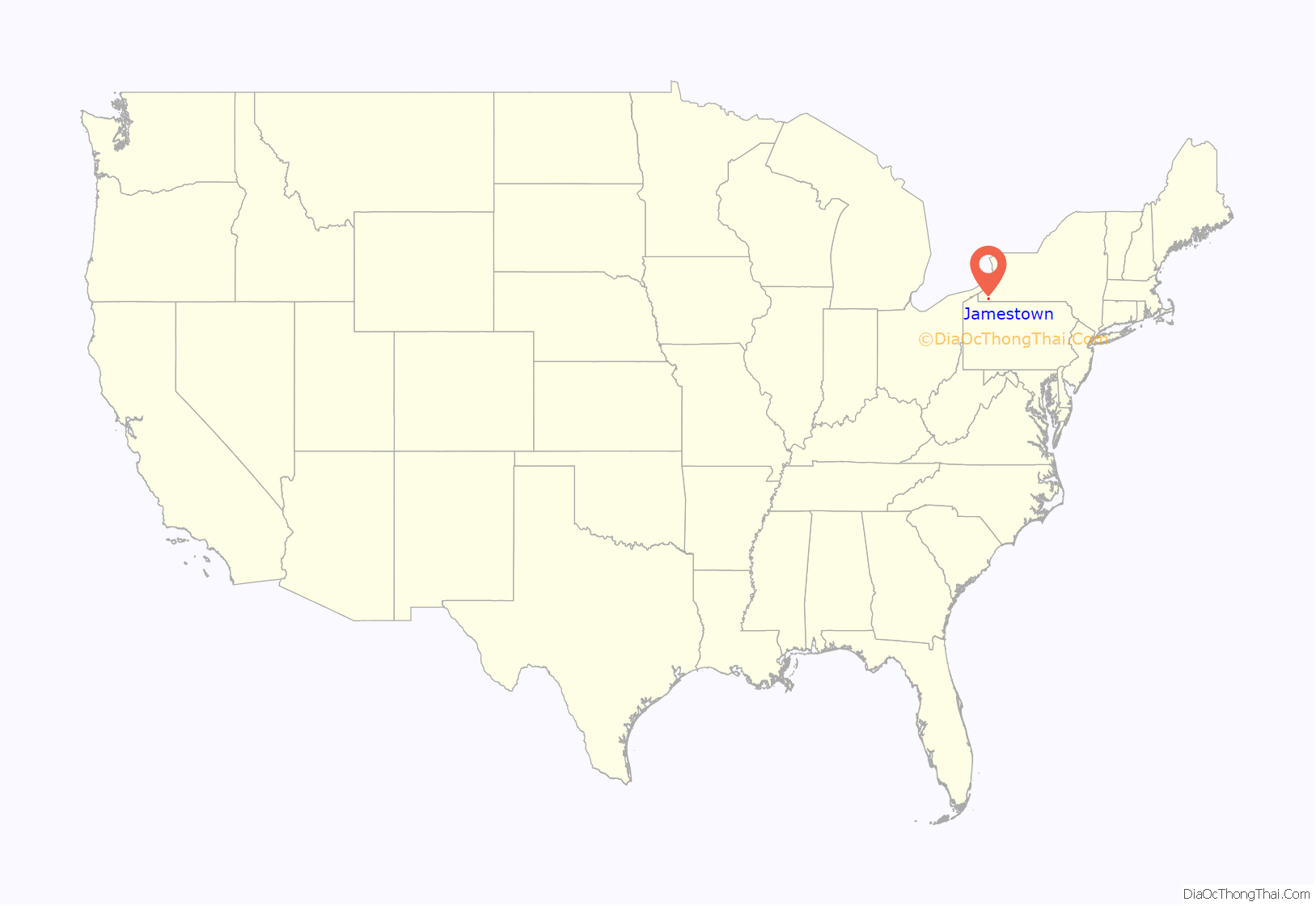
Jamestown location map. Where is Jamestown city?
History
19th century
Jamestown is named after James Prendergast, an early Chautauqua County settler. His family purchased 3,500 acres (14 km) in 1806 in the area now known as Chautauqua County. James Prendergast explored the area that is now Jamestown. and saw the area to be valuable, and so he purchased an additional 1,000 acres (4.0 km) of land in the area in 1808. In the fall of 1809, Prendergast and an employee, John Blowers, built a log cabin, which became the first building in Jamestown. Another log cabin, as well as mills and a dam, were built on the Chadakoin River later on. In 1855, a night watch was created for the purpose of looking out for fires.
Jamestown was incorporated into a village in 1827 and incorporated into a city on April 19, 1886. Oscar F. Price was elected as the first mayor of the city on April 13, 1886. James Murray was appointed the first Chief of Police and would lead a force of six police officers.
In 1887, Jamestown Electric Light and Power Company, Art Metal, and WCA Hospital were established. In 1888, Jamestown Woolen Spinning Co. was established and the cornerstone of Holy Trinity Lutheran Church laid. In 1889, the American Aristotype Co. was established. The first electric trolley car in Jamestown made its appearance in 1890. In 1891, a fire destroyed the Old Homestead Hotel at Third and Pine Streets and four people died, but the James Prendergast Library and the Municipal Light Plant were established the same year.
In 1892, Chautauqua Worsted mills was founded. In 1893, Jamestown Veneer Works was started by Nathan Wilson, and Jamestown’s first ice cream company started making Collins Ice Cream. In 1895, the cornerstone of City Hall was laid and the city council decided to lay no more wooden sidewalks. Eleazer Green was elected mayor the same year. In 1896, Empire Worsted Mills was formed; in 1898, Chautauqua Towel Mills was opened; and in 1899, Henry H. Cooper was elected mayor.
20th century
In 1900, Tinkham Brothers established their business, the Furniture Index was published, and the Hall Textile Corporation was formed. In 1903, Jamestown purchased a water system and the J.P. Danielson Tool Co. was organized. In 1906, James L. Weeks was elected mayor. In 1907, the Crescent Tool Company was started by Karl Peterson and Charles F. Falldine. In 1908, Samuel A. Carlson was elected mayor. Music Study Club and Jamestown Symphony Orchestra began the same year.
In 1910, the excavation began for the construction of Jamestown General Hospital, which still stands in the present day. In 1911, the Norden Club was started. On August 6, actress Lucille Ball was born in Jamestown. The first plane ever to fly over Jamestown did so on September 28, 1911. The Norden Clubhouse was completed in 1914. On April 8, 1917, Company E left for guard duty. The Emerson Glass Company started the same year. In 1918, Jamestown Corp. formed to make airplane propellers. A steamship, the City of Pittsburgh sank at the Boatlanding, also in 1918.
In 1921, the Zonta Club was organized. In 1925, the Hotel Samuels was sold. That same year, the Scottish Rite Temple was formally opened and taxpayers voted a $350,000 bond issue for the Third Street Bridge. The following year, Third Street Bridge was completed and it still stands today. In 1927, Jamestown celebrated the centennial of its incorporation as a village. Lars Larson was elected mayor the same year. In 1930, Samuel A. Carlson served as mayor once again. In 1931, a fire destroyed the old Martyn Factory. Also, the city purchases Niagara, Lockport and Ontario Power Company.
In 1932, the ground was broken for the new armory, the Erie Railroad station was dedicated, and the Community Chest was permanently formed. In 1933, Elk Furniture Company was sold. Also, Milton Carlson and Frederick Larson took over Jamestown Airport. The board of education assumed title to school forest. Also in 1933, city councilman Leon F. Roberts was elected mayor. In 1934, Jamestown Airport Corp. offered an airport to the city and the city secured the old armory as a relief center. As part of The New Deal, ground was broken for a new high school, which provided jobs during the Great Depression.
In 1935, the Board of Education opened the new industrial arts building and City Council approved $314,000 airport for North Main Street site. In November, Jamestown High School was formally dedicated. In 1937, the Temple Hesed Abraham was dedicated and the Alfred Collegiate Extension Center opened with 80 students. In 1938, Kevin McElrath became mayor and Jamestown General Hospital’s maternity annex opened. In 1939, twelve local plans surveyed by the government to produce supplies in wartime. Also, the city’s new airport was formally dedicated.
In 1940, the PONY league baseball began and Co. E was inducted into federal service. In 1941, Jamestown Municipal Stadium was dedicated and Samuel A. Stroth was elected mayor. In 1942, East Second Street widening was ordered and flames destroyed the old state armory. In 1945, Jamestown was hit by a tornado. In 1946, Dr. Carlyle C. Ring was named superintendent of schools. C.C. Ring Elementary School presently stands, in his honor. In 1950, Jamestown Community College was opened.
In 1951, Stanley A. Weeks was elected mayor and the addition to the municipal power plant was opened. In 1954, Samuel A. Stroth was elected mayor and Allegheny Airlines began east-west flight via Jamestown. In 1955, Carl F. Sanford was elected mayor. In 1956, Lucille Ball and Desi Arnaz visited Jamestown. In 1957, a $400,000 runway improvement to Jamestown Municipal Airport was added. In 1958, a new sewage disposal plant was opened, Buffalo Street pumping station was modernized, and a new wing opened at Jamestown General Hospital. In 1959, Jamestown’s new post office was started. In 1960, Jamestown celebrated the sesquicentennial of the first house erected here. That same year, Mohawk Airlines started to serve Jamestown.
In 1961, Jamestown Community College moved into new Falconer Street campus and William D. Whitehead was elected mayor. In 1963, the City’s first parking ramp opened at Main and Second Streets and Frederick H. Dunn elected mayor. Additionally, Grandin Mills on Allen Street was destroyed by fire and singer Natalie Merchant was born in Jamestown. In 1964, the Washington Street Bridge was completed. In 1967, an addition to Jamestown High School was completed. Also, Jamestown Community College opened a new Science and Engineering Building. In that same year, Charles B. Magnuson was elected mayor. In 1968, an addition to the James Prendergast Free Library was completed. In 1969, the Cherry Street parking ramp was opened, passenger rail service to Jamestown discontinued the next year by Erie-Lackawanna Railway, Stanley N. Lundine was elected mayor, and the New Gustavus Adolphus Children’s Home opened. In 1970, the Final approval was granted for the Brooklyn Square Urban Renewal Project.
Throughout the 1970s, homes in Brooklyn Square were relocated as well as many stores and shops. A second Urban Renewal Project was proposed in 2006, and the project began in 2007. Jamestown has hosted thirteen Babe Ruth World Series since 1980 and hosted the 13-Year-Old Babe Ruth World Series in 2008. The James Prendergast Library has regularly ranked in the top ten in the nation among those that service populations of 25,000-49,999, according to HAPLR, with a peak ranking of fourth in 2004..
21st century
On August 1, 2018, Jamestown opened the Jamestown National Comedy Center. This became the official National Comedy Center, receiving national designation from Congress.
Jamestown Road Map
Jamestown city Satellite Map
Geography
Jamestown is 71 miles (114 km) southwest of Buffalo, 158 miles (254 km) north of Pittsburgh, and 145 miles (233 km) northeast of Cleveland.
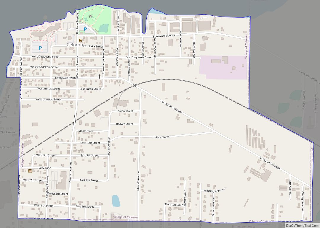
The Chadakoin River runs through Jamestown.
See also
Map of New York State and its subdivision:- Albany
- Allegany
- Bronx
- Broome
- Cattaraugus
- Cayuga
- Chautauqua
- Chemung
- Chenango
- Clinton
- Columbia
- Cortland
- Delaware
- Dutchess
- Erie
- Essex
- Franklin
- Fulton
- Genesee
- Greene
- Hamilton
- Herkimer
- Jefferson
- Kings
- Lake Ontario
- Lewis
- Livingston
- Madison
- Monroe
- Montgomery
- Nassau
- New York
- Niagara
- Oneida
- Onondaga
- Ontario
- Orange
- Orleans
- Oswego
- Otsego
- Putnam
- Queens
- Rensselaer
- Richmond
- Rockland
- Saint Lawrence
- Saratoga
- Schenectady
- Schoharie
- Schuyler
- Seneca
- Steuben
- Suffolk
- Sullivan
- Tioga
- Tompkins
- Ulster
- Warren
- Washington
- Wayne
- Westchester
- Wyoming
- Yates
- Alabama
- Alaska
- Arizona
- Arkansas
- California
- Colorado
- Connecticut
- Delaware
- District of Columbia
- Florida
- Georgia
- Hawaii
- Idaho
- Illinois
- Indiana
- Iowa
- Kansas
- Kentucky
- Louisiana
- Maine
- Maryland
- Massachusetts
- Michigan
- Minnesota
- Mississippi
- Missouri
- Montana
- Nebraska
- Nevada
- New Hampshire
- New Jersey
- New Mexico
- New York
- North Carolina
- North Dakota
- Ohio
- Oklahoma
- Oregon
- Pennsylvania
- Rhode Island
- South Carolina
- South Dakota
- Tennessee
- Texas
- Utah
- Vermont
- Virginia
- Washington
- West Virginia
- Wisconsin
- Wyoming
