Kaser is a village in the town of Ramapo, Rockland County, New York, United States. The village is completely surrounded by the hamlet of Monsey. As of the 2020 United States census, the village population was 5,491.
Kaser is a village with a population consisting almost entirely of Hasidic Jews of the Viznitz denomination. The etymology of the name is derived from the Eastern European pronunciation of Hebrew, as the word “כֶּתֶר” is pronounced “Kay-ser”, hence “Kaser”, (כֶּתֶר=crown in English). A total of 4% of Kaser’s population claims Romanian ancestry, making Kaser the most Romanian census place in the United States.
The village is the most densely populated municipality in New York State according to the 2010 census, being the only incorporated place in the state with a higher population density than New York City; and the 5th most in the United States.
| Name: | Kaser village |
|---|---|
| LSAD Code: | 47 |
| LSAD Description: | village (suffix) |
| State: | New York |
| County: | Rockland County |
| Incorporated: | January 25, 1990 |
| Elevation: | 541 ft (165 m) |
| Total Area: | 0.17 sq mi (0.44 km²) |
| Land Area: | 0.17 sq mi (0.44 km²) |
| Water Area: | 0.00 sq mi (0.00 km²) |
| Total Population: | 5,491 |
| Population Density: | 31,924.42/sq mi (12,360.57/km²) |
| FIPS code: | 3638934 |
| GNISfeature ID: | 0979944 |
Online Interactive Map
Click on ![]() to view map in "full screen" mode.
to view map in "full screen" mode.
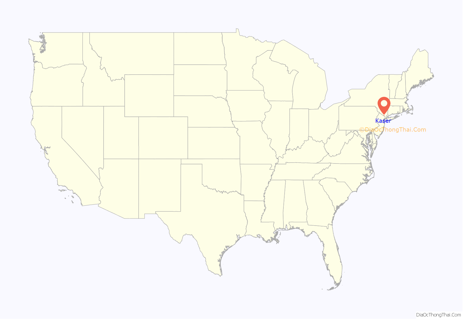
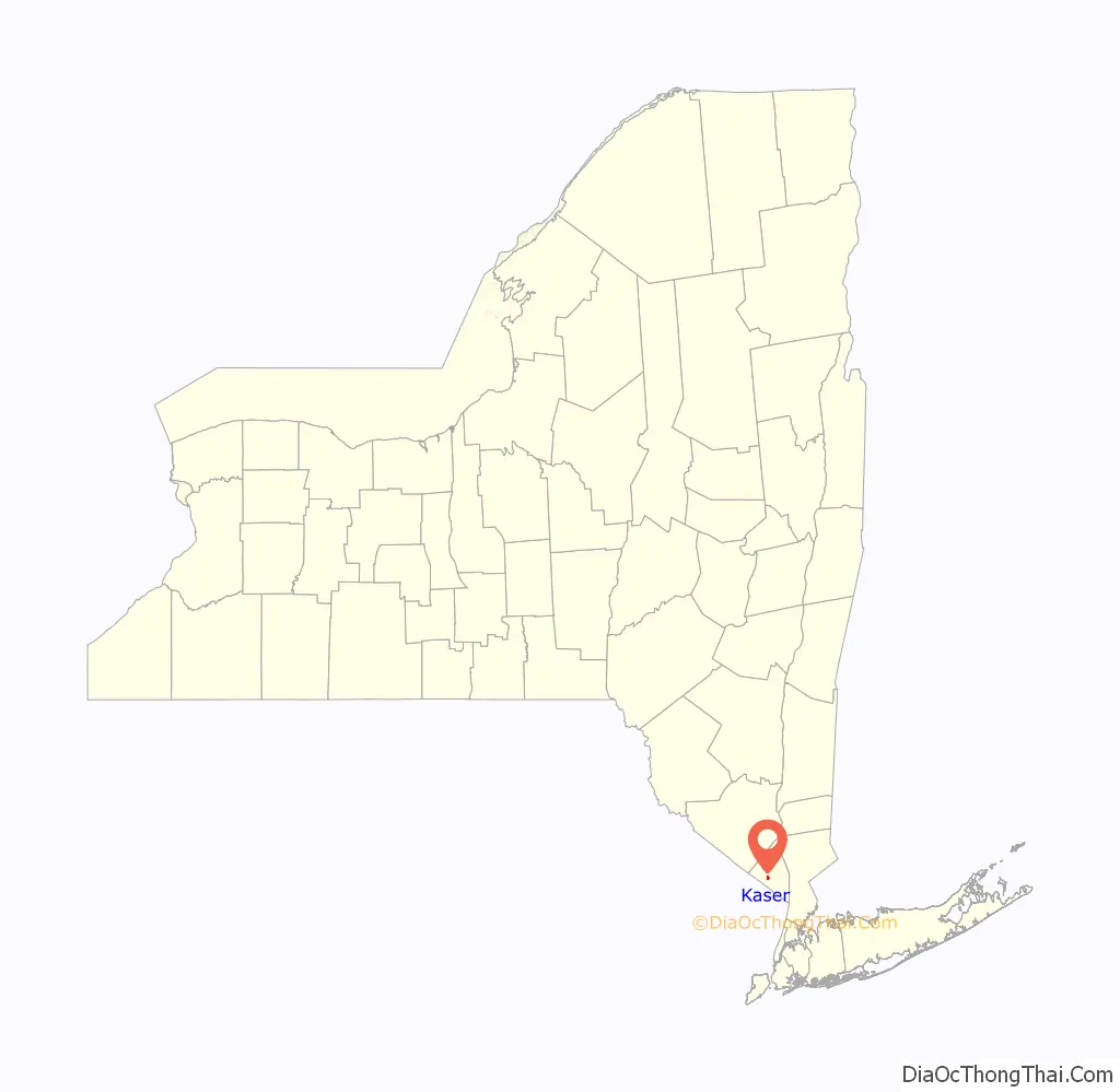
Kaser location map. Where is Kaser village?
History
Members of Viznitz, a Hasidic denomination, established Kaser in 1990 so they could build denser housing. Herbert Reisman, the supervisor of the town of Ramapo, cooperated in the creation of Kaser because the town leaders also wanted to create more housing.
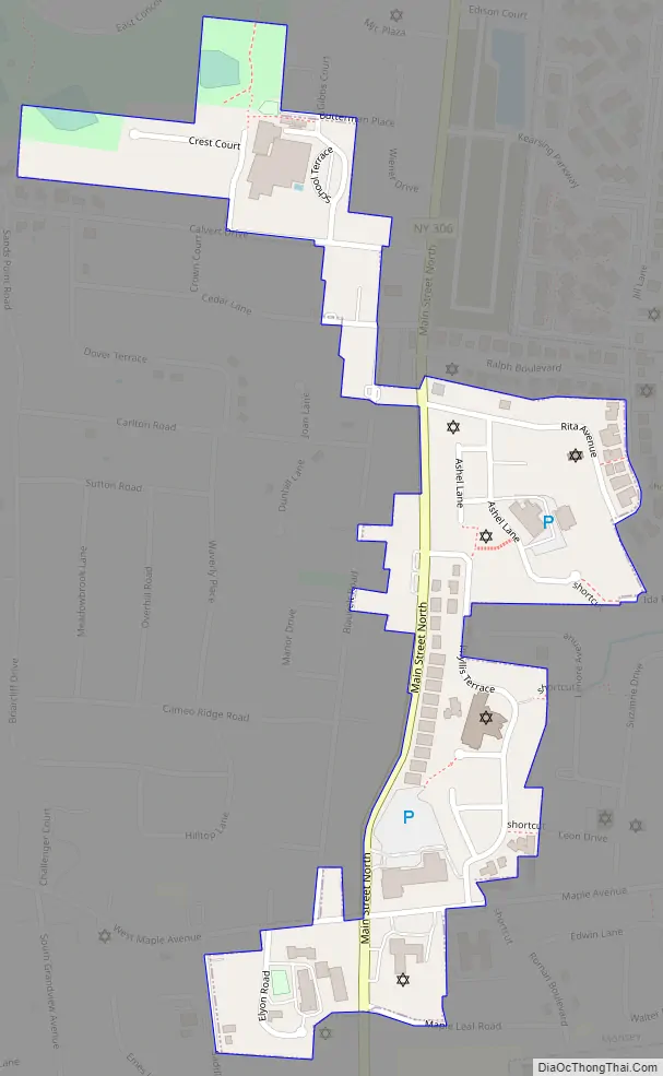
Kaser Road Map
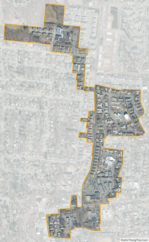
Kaser city Satellite Map
Geography
The village of Kaser is on NY 306.
According to the United States Census Bureau, the village has a total area of 0.2 square mile (0.4 km), all land.
See also
Map of New York State and its subdivision:- Albany
- Allegany
- Bronx
- Broome
- Cattaraugus
- Cayuga
- Chautauqua
- Chemung
- Chenango
- Clinton
- Columbia
- Cortland
- Delaware
- Dutchess
- Erie
- Essex
- Franklin
- Fulton
- Genesee
- Greene
- Hamilton
- Herkimer
- Jefferson
- Kings
- Lake Ontario
- Lewis
- Livingston
- Madison
- Monroe
- Montgomery
- Nassau
- New York
- Niagara
- Oneida
- Onondaga
- Ontario
- Orange
- Orleans
- Oswego
- Otsego
- Putnam
- Queens
- Rensselaer
- Richmond
- Rockland
- Saint Lawrence
- Saratoga
- Schenectady
- Schoharie
- Schuyler
- Seneca
- Steuben
- Suffolk
- Sullivan
- Tioga
- Tompkins
- Ulster
- Warren
- Washington
- Wayne
- Westchester
- Wyoming
- Yates
- Alabama
- Alaska
- Arizona
- Arkansas
- California
- Colorado
- Connecticut
- Delaware
- District of Columbia
- Florida
- Georgia
- Hawaii
- Idaho
- Illinois
- Indiana
- Iowa
- Kansas
- Kentucky
- Louisiana
- Maine
- Maryland
- Massachusetts
- Michigan
- Minnesota
- Mississippi
- Missouri
- Montana
- Nebraska
- Nevada
- New Hampshire
- New Jersey
- New Mexico
- New York
- North Carolina
- North Dakota
- Ohio
- Oklahoma
- Oregon
- Pennsylvania
- Rhode Island
- South Carolina
- South Dakota
- Tennessee
- Texas
- Utah
- Vermont
- Virginia
- Washington
- West Virginia
- Wisconsin
- Wyoming


