Keeseville is a hamlet (and census-designated place) in Clinton and Essex counties, New York, United States. The population was 1,815 at the 2010 census. The hamlet was named after the Keese family, early settlers from Vermont. It developed along the Ausable River, which provided water power for mills and industrial development.
Keeseville is in the towns of Au Sable and Chesterfield and is south of the city of Plattsburgh. It is located inside what are now the boundaries of Adirondack Park, which was authorized in the 20th century.
On January 23, 2013, the town’s selectboard voted to dissolve the village. As of 2016, the U.S. Census Bureau still had Keeseville listed as a village.
| Name: | Keeseville CDP |
|---|---|
| LSAD Code: | 57 |
| LSAD Description: | CDP (suffix) |
| State: | New York |
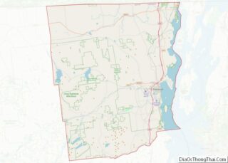
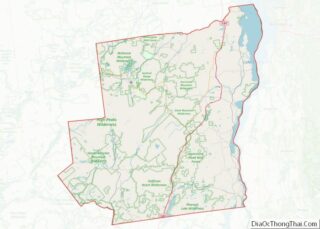
| County: | Clinton County, Essex County |
| Incorporated: | May 1878 |
| Elevation: | 417 ft (127 m) |
| Total Area: | 6.13 sq mi (15.88 km²) |
| Land Area: | 6.02 sq mi (15.59 km²) |
| Water Area: | 0.11 sq mi (0.29 km²) |
| Total Population: | 2,931 |
| Population Density: | 486.88/sq mi (187.98/km²) |
| ZIP code: | 12911, 12924, 12944 |
| Area code: | 518 |
| FIPS code: | 3639089 |
| GNISfeature ID: | 2390918 |
| Website: | www.co.essex.ny.us/Keeseville.asp |
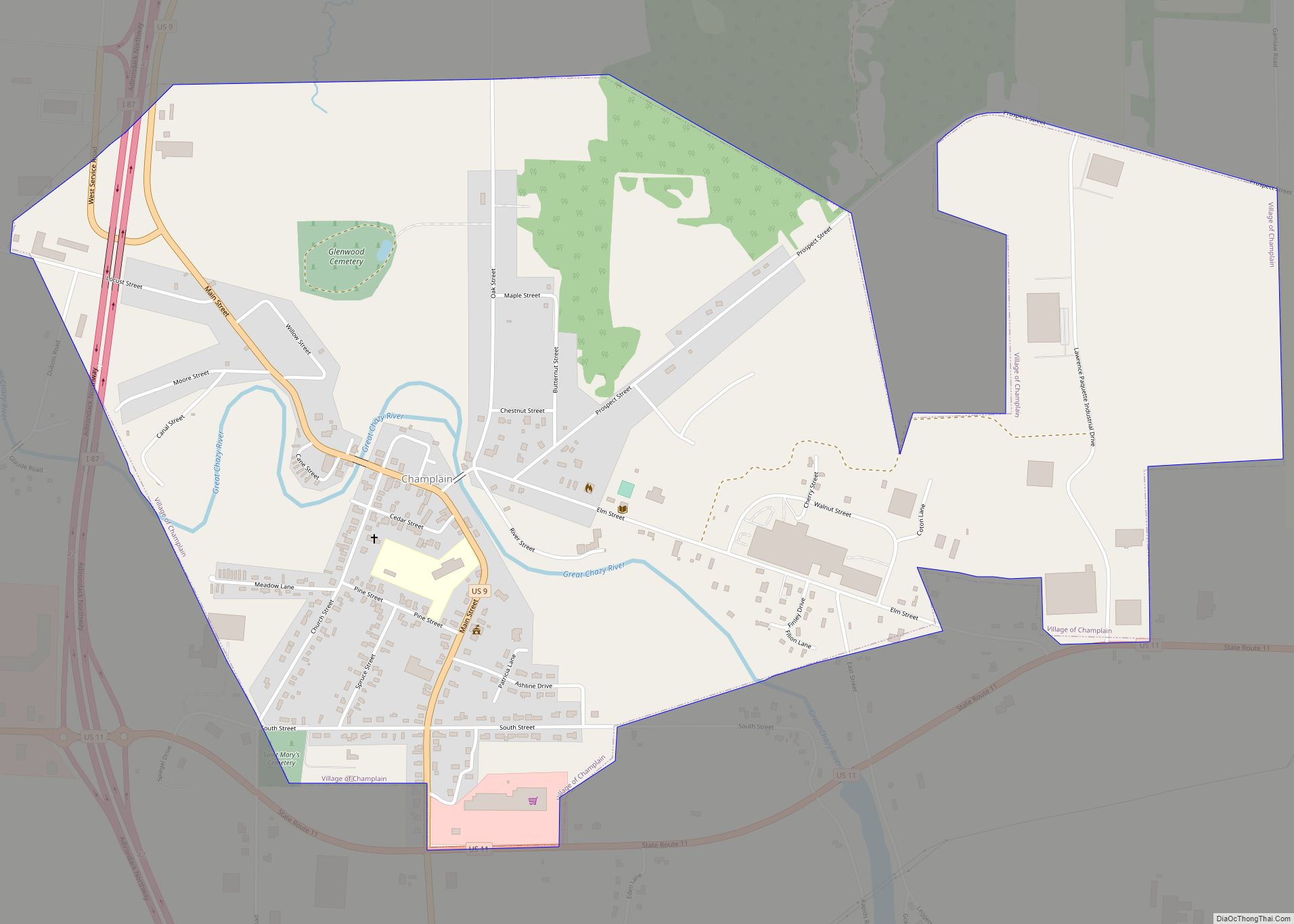
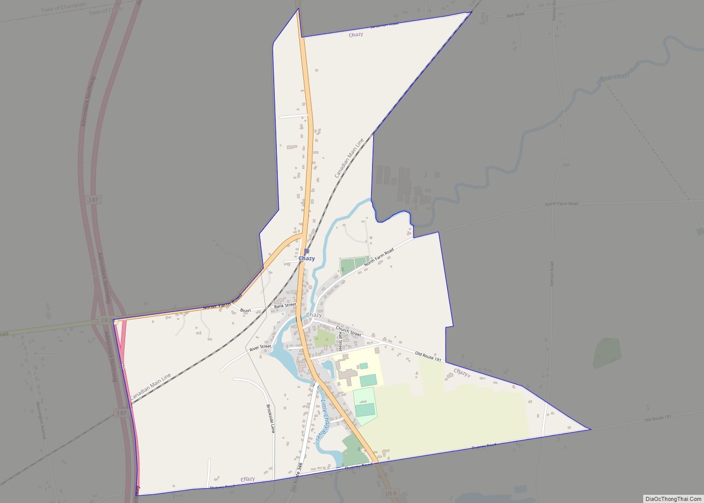
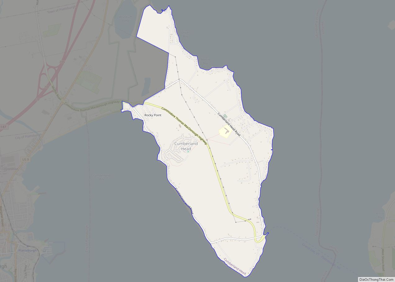
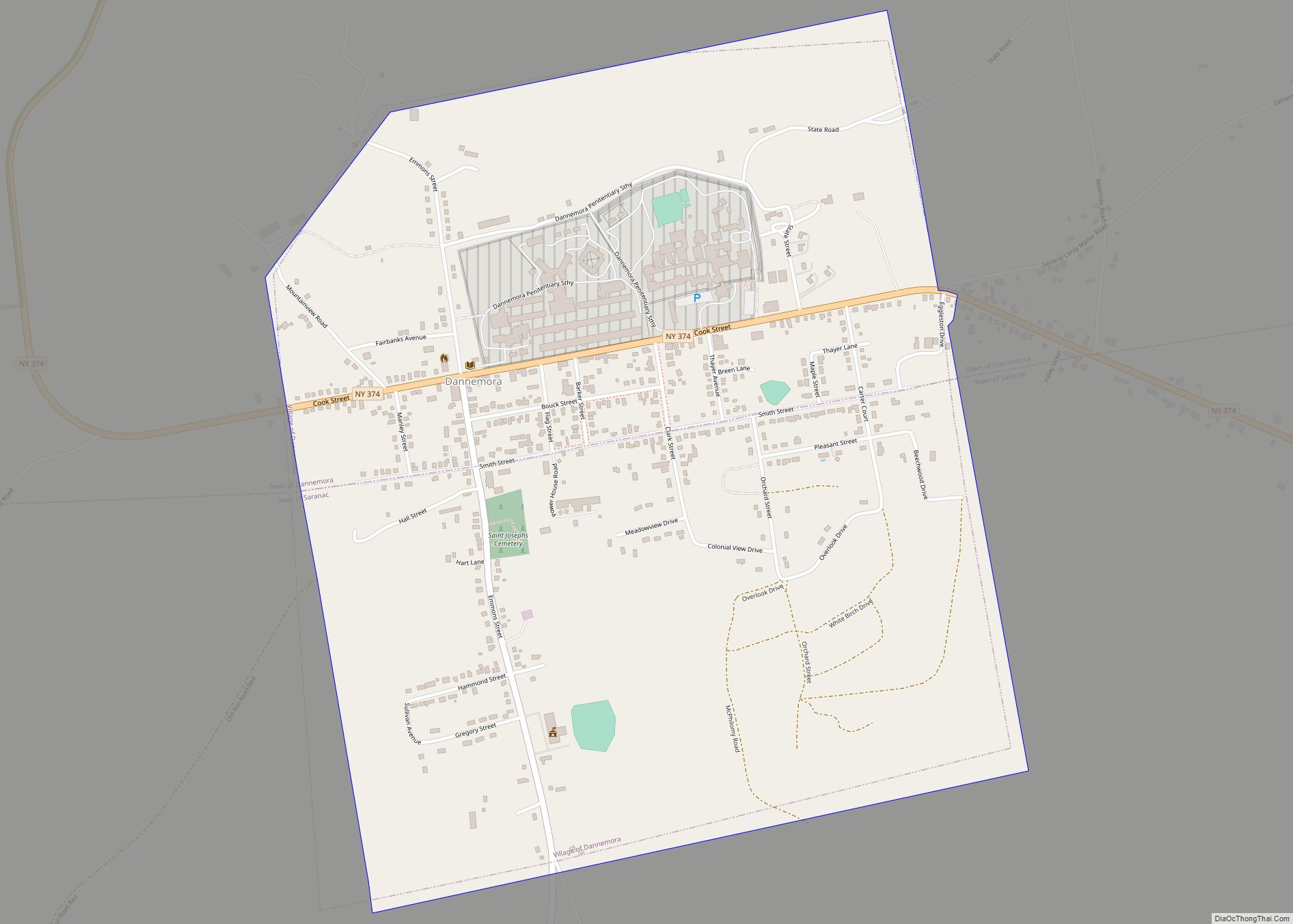
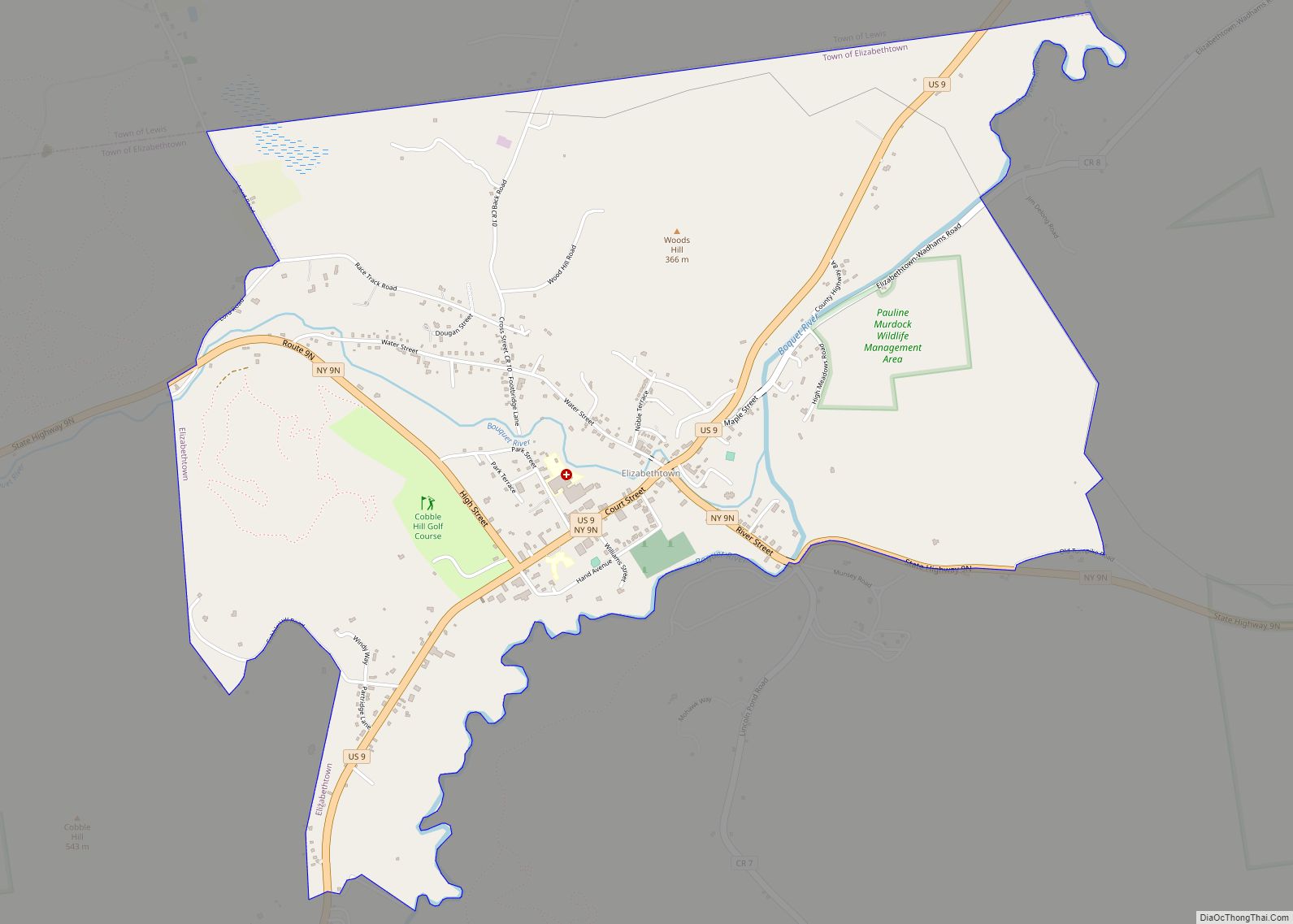
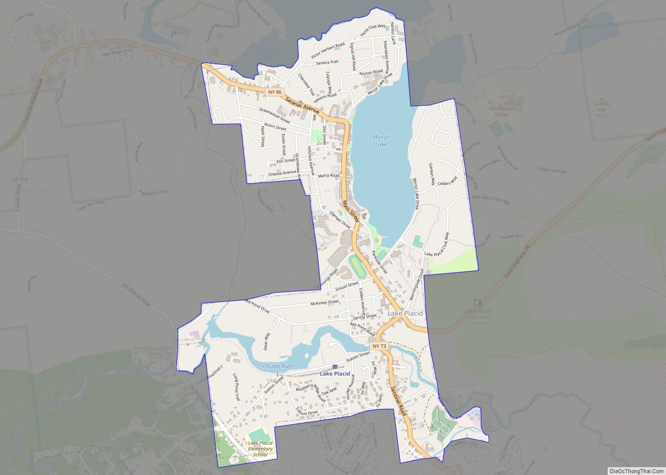
Online Interactive Map
Click on ![]() to view map in "full screen" mode.
to view map in "full screen" mode.
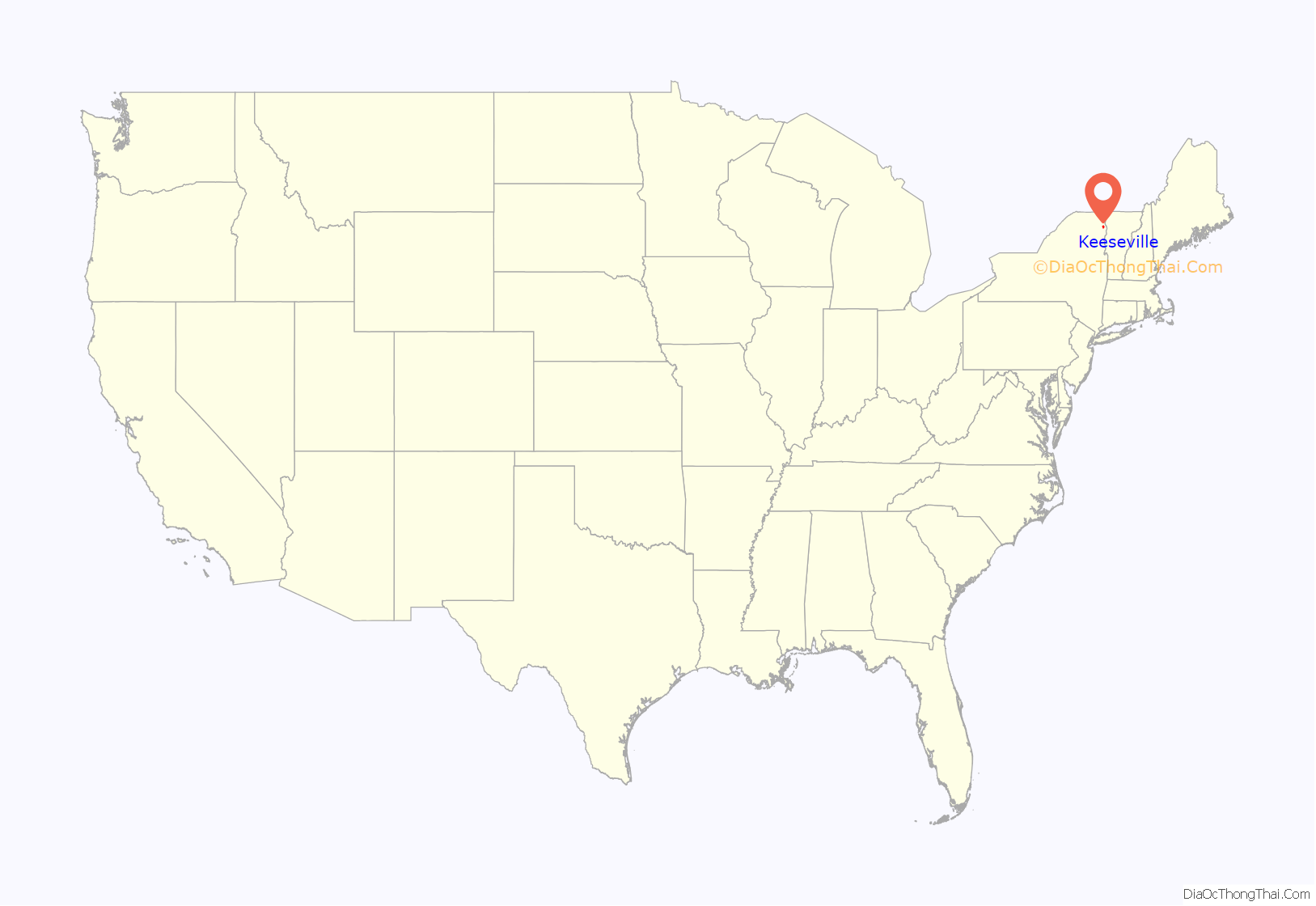
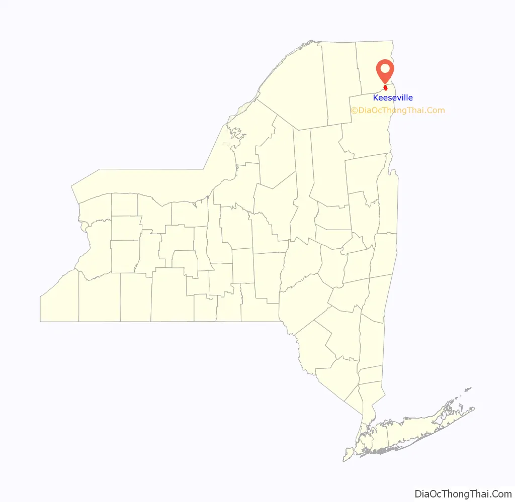
Keeseville location map. Where is Keeseville CDP?
History
The hamlet was originally called “Anderson Falls” by settlers from New England, who moved into the area following the American Revolutionary War and forcing of Iroquois tribes off their lands. The name was changed circa 1812 to “Keeseville”, after a local manufacturer and businessman. The early hamlet was an industrial area devoted, in part, to lumber, iron processing and milling. There has also been a strong French Canadian influence, and many ethnic French have historic ties to the area. The Catholic cathedral, St. John’s, was designed in a French style. As population moved west across New York and later to more urbanized areas, the village declined in population.
The Keeseville, Ausable Chasm & Lake Champlain Railroad connected Port Kent steamships and the Delaware & Hudson Railroad with the Chasm and local commerce from 1890 until 1924. The “Peanut RR” was a 5.6 mile shortline, of traditional American Standard Gauge width to allow easy transfer onto the rest of the U.S. rail network. The former train station, long North Country Club Restaurant, received a historic roadside marker on May 19, 2018. Visit Anderson Falls Heritage Society, 96 Clinton Street in Keeseville, to experience local history.
THE Essex County Republican newspaper, founded in Port Henry, moved to Keeseville in the 20th century, becoming the Keeseville Essex County Republican.
In January 2013, voters decided in a referendum by a vote of 268–176 to dissolve the village. Their territory falls under the jurisdiction of the two towns in which it is located, which will provide services and government. The village officially dissolved on December 31, 2014.
The Double-Span Metal Pratt Truss Bridge, Keeseville Historic District, Rembrandt Hall, Stone Arch Bridge, Swing Bridge, and Tomlinson House are listed on the National Register of Historic Places.
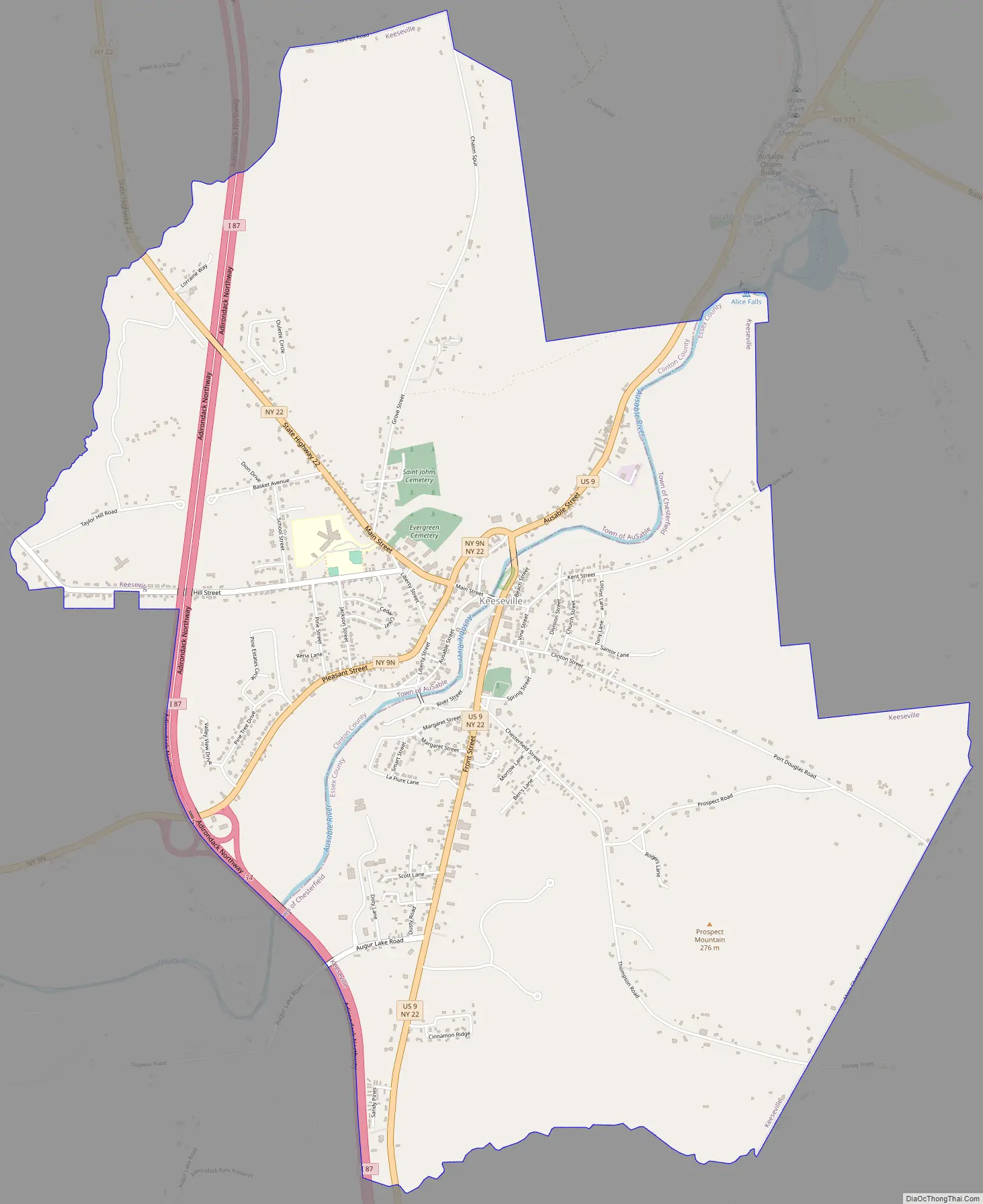
Keeseville Road Map
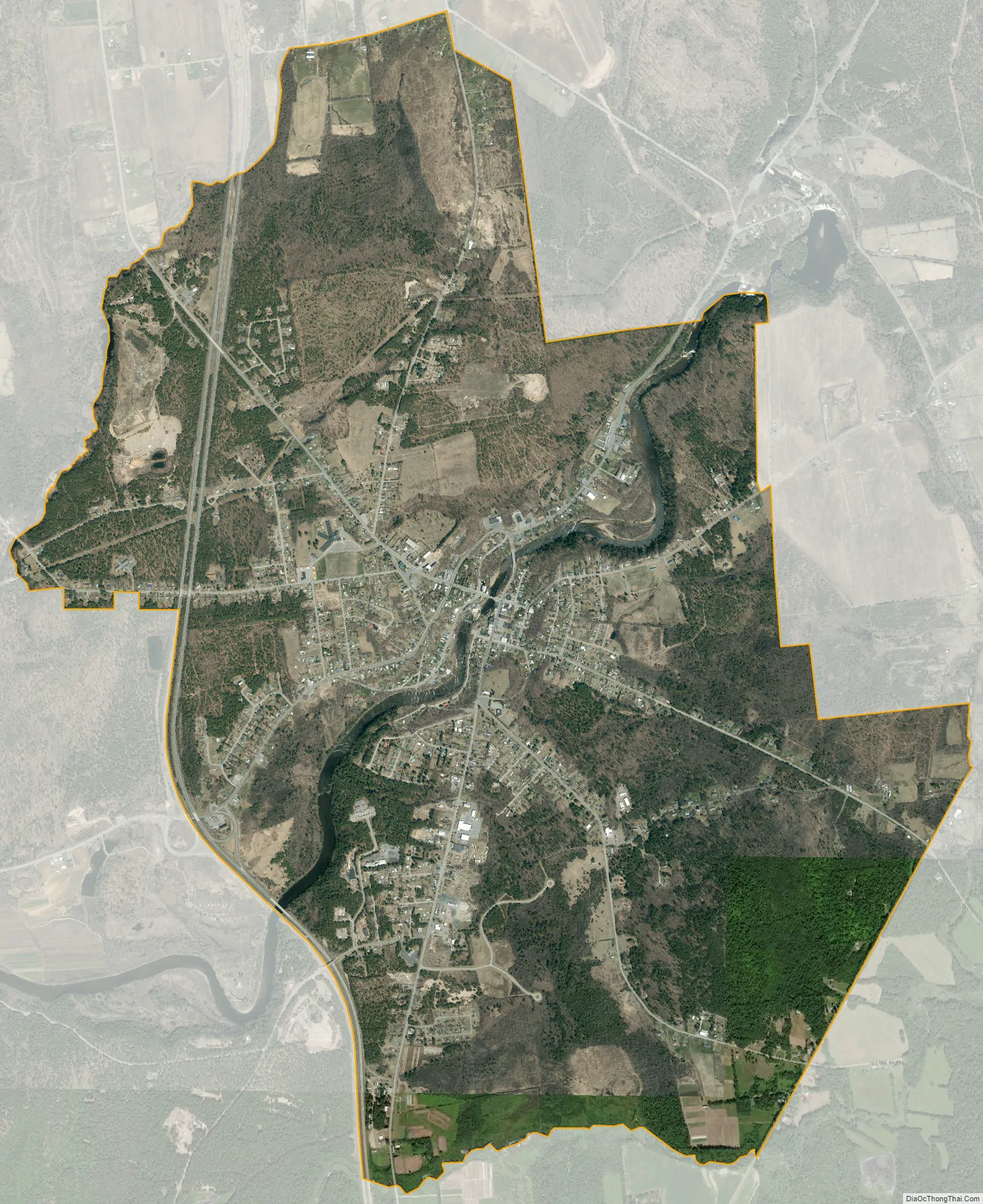
Keeseville city Satellite Map
Geography
Keeseville is located at 44°30′13″N 73°28′52″W / 44.50361°N 73.48111°W / 44.50361; -73.48111 (44.503688, -73.481087), south of Plattsburgh, just west of Lake Champlain, within the Adirondack Park. The Ausable River, forming the boundary between Clinton and Essex counties, flows through the village. The northern half of the hamlet is within the Town of Au Sable in Clinton County, while the southern half is in the Town of Chesterfield in Essex County.
According to the United States Census Bureau, the village has a total area of 1.2 square miles (3.2 km), of which 1.2 square miles (3.0 km) is land and 0.04 square miles (0.1 km), or 4.47%, is water.
Keeseville is at the junction of US Route 9, New York State Route 22 and New York State Route 9N, as well as Essex County Roads 15, 16, and 17. Interstate 87, the Northway, passes west of the village, with access from Exit 34 (NY 9N).
See also
Map of New York State and its subdivision:- Albany
- Allegany
- Bronx
- Broome
- Cattaraugus
- Cayuga
- Chautauqua
- Chemung
- Chenango
- Clinton
- Columbia
- Cortland
- Delaware
- Dutchess
- Erie
- Essex
- Franklin
- Fulton
- Genesee
- Greene
- Hamilton
- Herkimer
- Jefferson
- Kings
- Lake Ontario
- Lewis
- Livingston
- Madison
- Monroe
- Montgomery
- Nassau
- New York
- Niagara
- Oneida
- Onondaga
- Ontario
- Orange
- Orleans
- Oswego
- Otsego
- Putnam
- Queens
- Rensselaer
- Richmond
- Rockland
- Saint Lawrence
- Saratoga
- Schenectady
- Schoharie
- Schuyler
- Seneca
- Steuben
- Suffolk
- Sullivan
- Tioga
- Tompkins
- Ulster
- Warren
- Washington
- Wayne
- Westchester
- Wyoming
- Yates
- Alabama
- Alaska
- Arizona
- Arkansas
- California
- Colorado
- Connecticut
- Delaware
- District of Columbia
- Florida
- Georgia
- Hawaii
- Idaho
- Illinois
- Indiana
- Iowa
- Kansas
- Kentucky
- Louisiana
- Maine
- Maryland
- Massachusetts
- Michigan
- Minnesota
- Mississippi
- Missouri
- Montana
- Nebraska
- Nevada
- New Hampshire
- New Jersey
- New Mexico
- New York
- North Carolina
- North Dakota
- Ohio
- Oklahoma
- Oregon
- Pennsylvania
- Rhode Island
- South Carolina
- South Dakota
- Tennessee
- Texas
- Utah
- Vermont
- Virginia
- Washington
- West Virginia
- Wisconsin
- Wyoming