Kerhonkson /kərˈhɒŋksən/ is a hamlet and census-designated place (CDP) in Ulster County, New York, United States. The population was 1,722 at the 2020 census.
The Kerhonkson CDP is an urban concentration that straddles the border of the town of Rochester and the town of Wawarsing, with the larger portion in Rochester. US 209 is the hamlet’s main artery. The western terminus of US 44 / NY 55 is at Route 209 in the Wawarsing portion of the Kerhonkson CDP. The U.S. Postal Service Zip Code of Kerhonkson (12446) covers a much larger area of the town of Rochester, as well as part of Wawarsing and a small area of the town of Olive.
Kerhonkson Elementary School is one of two elementary schools in the Rondout Valley Central School District. Soyuzivka, a Ukrainian resort and cultural center, is within the Kerhonkson Zip Code, in the town of Warwarsing.
| Name: | Kerhonkson CDP |
|---|---|
| LSAD Code: | 57 |
| LSAD Description: | CDP (suffix) |
| State: | New York |
| County: | Ulster County |
| Elevation: | 262 ft (80 m) |
| Total Area: | 5.3 sq mi (13.7 km²) |
| Total Population: | 1,722 |
| Population Density: | 324.91/sq mi (125.69/km²) |
| Area code: | 845 |
| FIPS code: | 3639397 |
| GNISfeature ID: | 954549 |
| Website: | www.townofrochester.net |
Online Interactive Map
Click on ![]() to view map in "full screen" mode.
to view map in "full screen" mode.
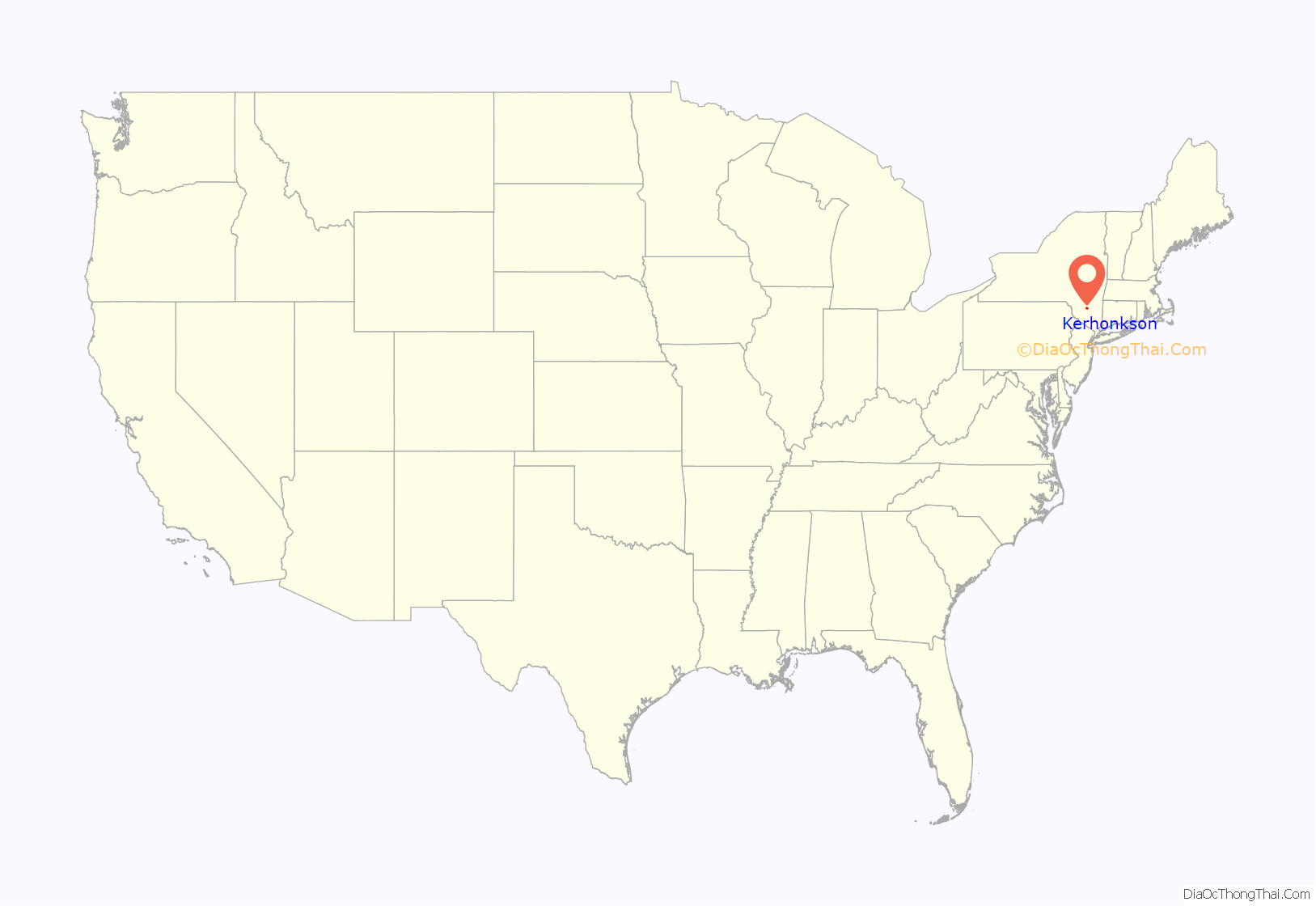
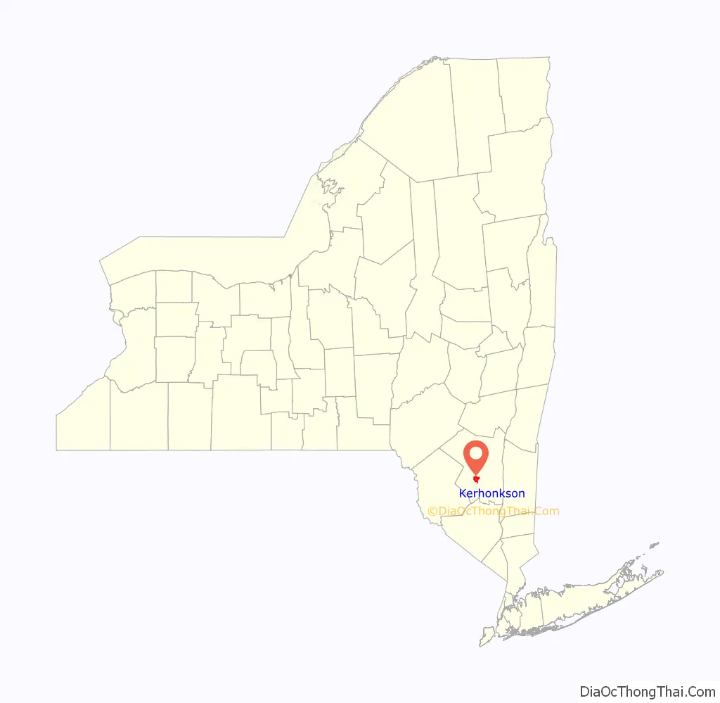
Kerhonkson location map. Where is Kerhonkson CDP?
History
Colonial Era
Kerhonkson was the site of a colonial fort, on Deyo’s Hill, that protected early immigrants from Native American attacks.
Before the burning of Kingston on October 12, 1777, all the important documents and government officials were moved to Kerhonkson, remaining for two weeks until they were moved to Albany, making Kerhonkson briefly the capital of New York.
Canal Era
The Delaware and Hudson Canal was completed in 1828. This opened up local industries such as coal, lumber, dairy, and hotel. Barges towed by mules transported goods along Rondout Creek from Pennsylvania to the Hudson River. In the canal era, Kerhonkson was known as Middleport
Railroad Era
The Delaware and Oswego Railroad was constructed in 1909 along the old canal towpath and a station was constructed along Main Street to ship out dairy products. The Summitville to Kingston segment was acquired by the New York, Ontario and Western. In the line’s waning years, passenger service was reduced to Sunday and holiday service, and summer only. The tracks were pulled up in 1957 once products were being moved by truck upstate. The path is now a popular local hiking and biking destination known as the Rail Trail. It is 3.5 miles long.
Peg Leg Bates
In 1951, the famed tap dancer Peg Leg Bates became the first African-American resort owner in the Catskills when he opened the Peg Leg Bates Country Club in Palentown, a hamlet in the northern end of the Kerhonkson Zip Code. His wife Alice E. Bates died in 1987, and Bates leased the property to a new owner, Doreen Richardson, in 1989. Part of Route 209 in Ulster County was named “Clayton Peg Leg Bates Memorial Highway” in his honor.
Richardson operated the former Peg Leg Bates club as the “Mountain Valley Resort” until her death in 2012.
The Peg Leg Bates resort played an important role in the history of the civil rights movement in 1966 when a meeting of the Student Nonviolent Coordinating Committee (SNCC) held there voted to expel whites from its staff.
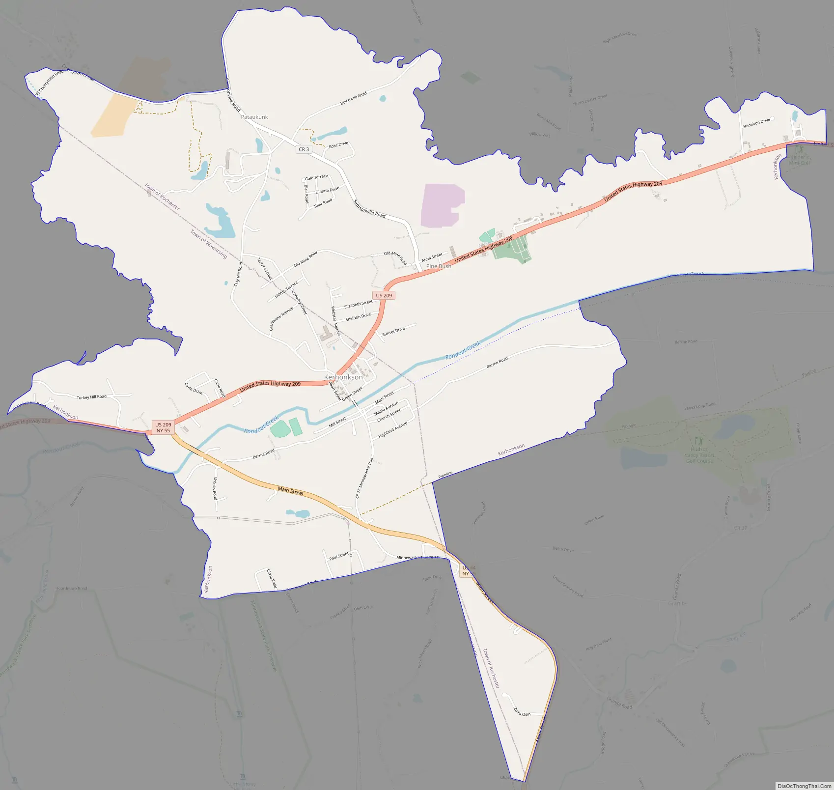
Kerhonkson Road Map
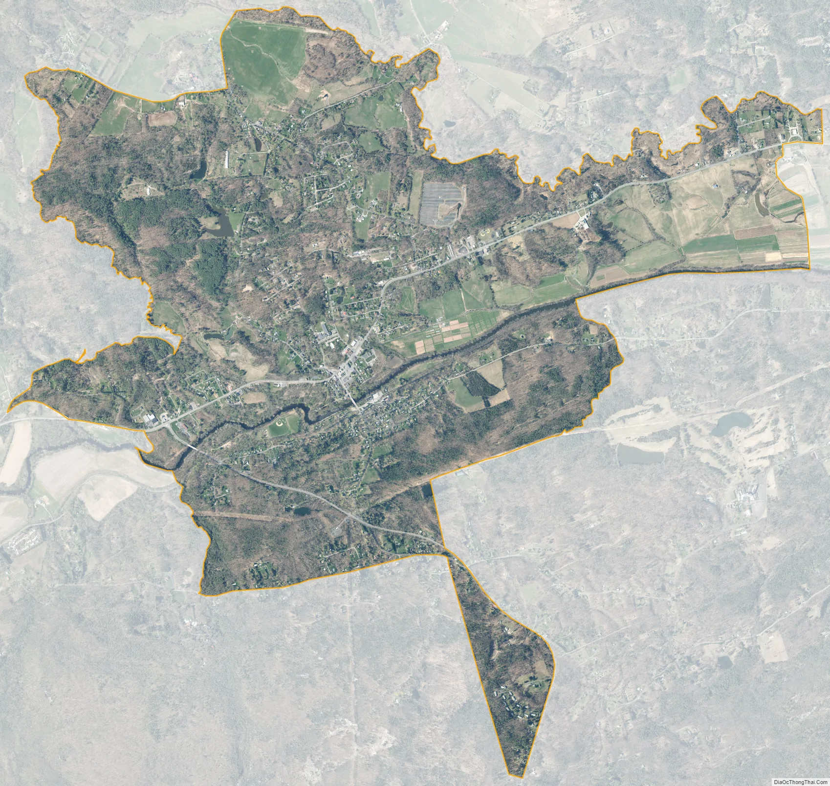
Kerhonkson city Satellite Map
Geography
The Kerhonkson CDP is located at 41°46′28″N 74°17′51″W / 41.774485°N 74.297480°W / 41.774485; -74.297480. with a total area of 5.3 square miles (14 km), all land. The CDP is in the valley of Rondout Creek, a tributary of the Hudson River, and adjacent to the Shawangunk Mountains, famous for the rock climbing and biodiversity of the Shawangunk Ridge.
The Minnewaska State Park Preserve is in the Kerhonkson Zip Code area, along Route 44/55.
See also
Map of New York State and its subdivision:- Albany
- Allegany
- Bronx
- Broome
- Cattaraugus
- Cayuga
- Chautauqua
- Chemung
- Chenango
- Clinton
- Columbia
- Cortland
- Delaware
- Dutchess
- Erie
- Essex
- Franklin
- Fulton
- Genesee
- Greene
- Hamilton
- Herkimer
- Jefferson
- Kings
- Lake Ontario
- Lewis
- Livingston
- Madison
- Monroe
- Montgomery
- Nassau
- New York
- Niagara
- Oneida
- Onondaga
- Ontario
- Orange
- Orleans
- Oswego
- Otsego
- Putnam
- Queens
- Rensselaer
- Richmond
- Rockland
- Saint Lawrence
- Saratoga
- Schenectady
- Schoharie
- Schuyler
- Seneca
- Steuben
- Suffolk
- Sullivan
- Tioga
- Tompkins
- Ulster
- Warren
- Washington
- Wayne
- Westchester
- Wyoming
- Yates
- Alabama
- Alaska
- Arizona
- Arkansas
- California
- Colorado
- Connecticut
- Delaware
- District of Columbia
- Florida
- Georgia
- Hawaii
- Idaho
- Illinois
- Indiana
- Iowa
- Kansas
- Kentucky
- Louisiana
- Maine
- Maryland
- Massachusetts
- Michigan
- Minnesota
- Mississippi
- Missouri
- Montana
- Nebraska
- Nevada
- New Hampshire
- New Jersey
- New Mexico
- New York
- North Carolina
- North Dakota
- Ohio
- Oklahoma
- Oregon
- Pennsylvania
- Rhode Island
- South Carolina
- South Dakota
- Tennessee
- Texas
- Utah
- Vermont
- Virginia
- Washington
- West Virginia
- Wisconsin
- Wyoming


