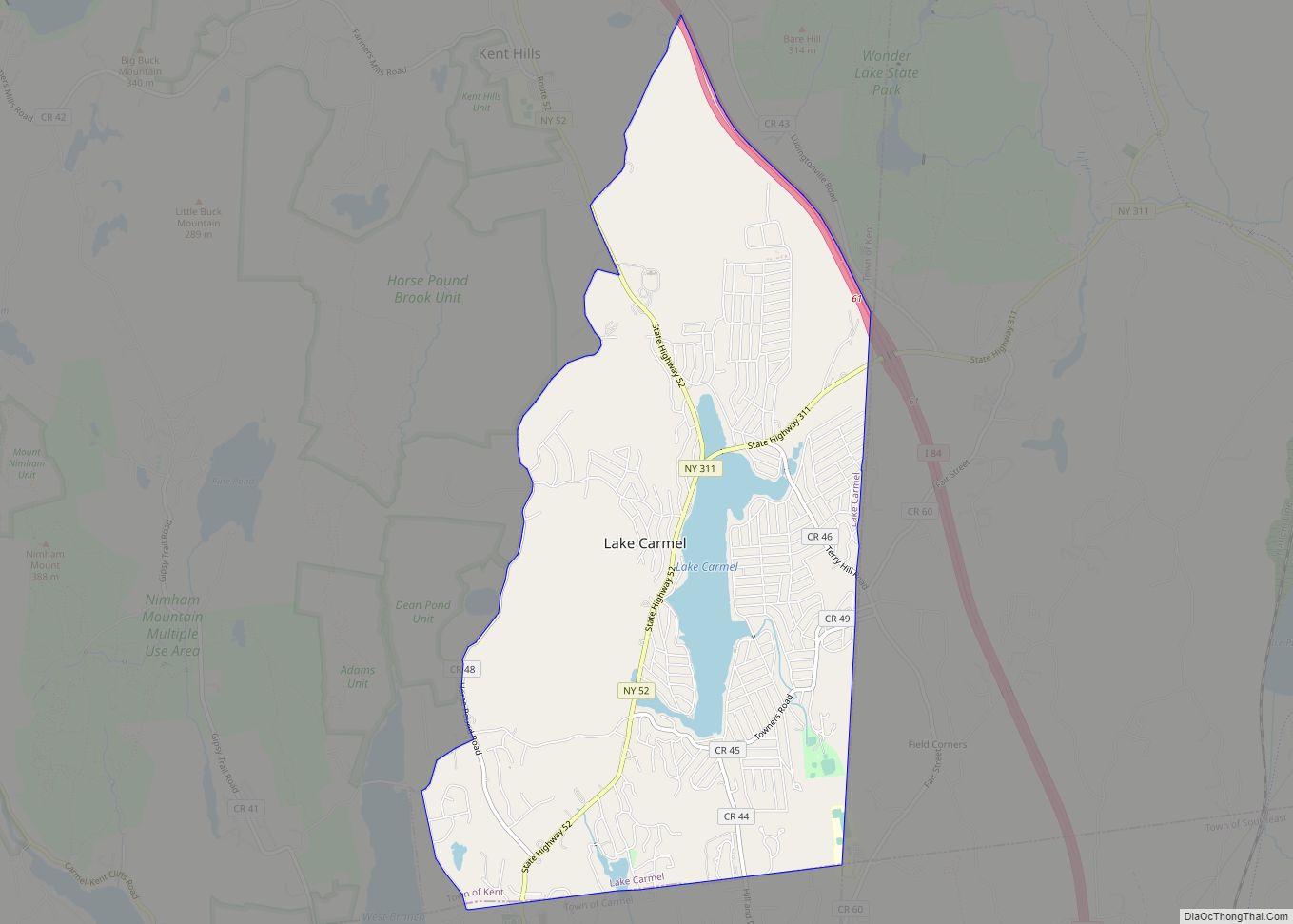
Lake Carmel is a hamlet and census-designated place in the town of Kent in Putnam County, New York, United States. The home of over half of the town of Kent’s population of 8,282, the hamlet is centered around Lake Carmel, a 1.6 mile long manmade lake in the southeastern corner of the township and just north of hamlet of Carmel within the town of Carmel.
The lake and surrounding community was developed by the Smadbeck brothers, who excavated and dammed a swamp in the 1920s and sold lots through the now-defunct New York Daily Mirror. The hamlet is the seat of the volunteer Lake Carmel Fire Department; its fire district covers the eastern half of the township, and of the Kent town government.
| Name: | Lake Carmel CDP |
|---|---|
| LSAD Code: | 57 |
| LSAD Description: | CDP (suffix) |
| State: | New York |
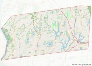
| County: | Putnam County |
| Elevation: | 801 ft (244 m) |
| Total Area: | 5.56 sq mi (14.39 km²) |
| Land Area: | 5.22 sq mi (13.53 km²) |
| Water Area: | 0.33 sq mi (0.86 km²) |
| Total Population: | 8,069 |
| Population Density: | 1,544.31/sq mi (596.29/km²) |
| ZIP code: | 10512 |
| Area code: | 845 |
| FIPS code: | 3640398 |
| GNISfeature ID: | 0954900 |
Online Interactive Map
Click on ![]() to view map in "full screen" mode.
to view map in "full screen" mode.
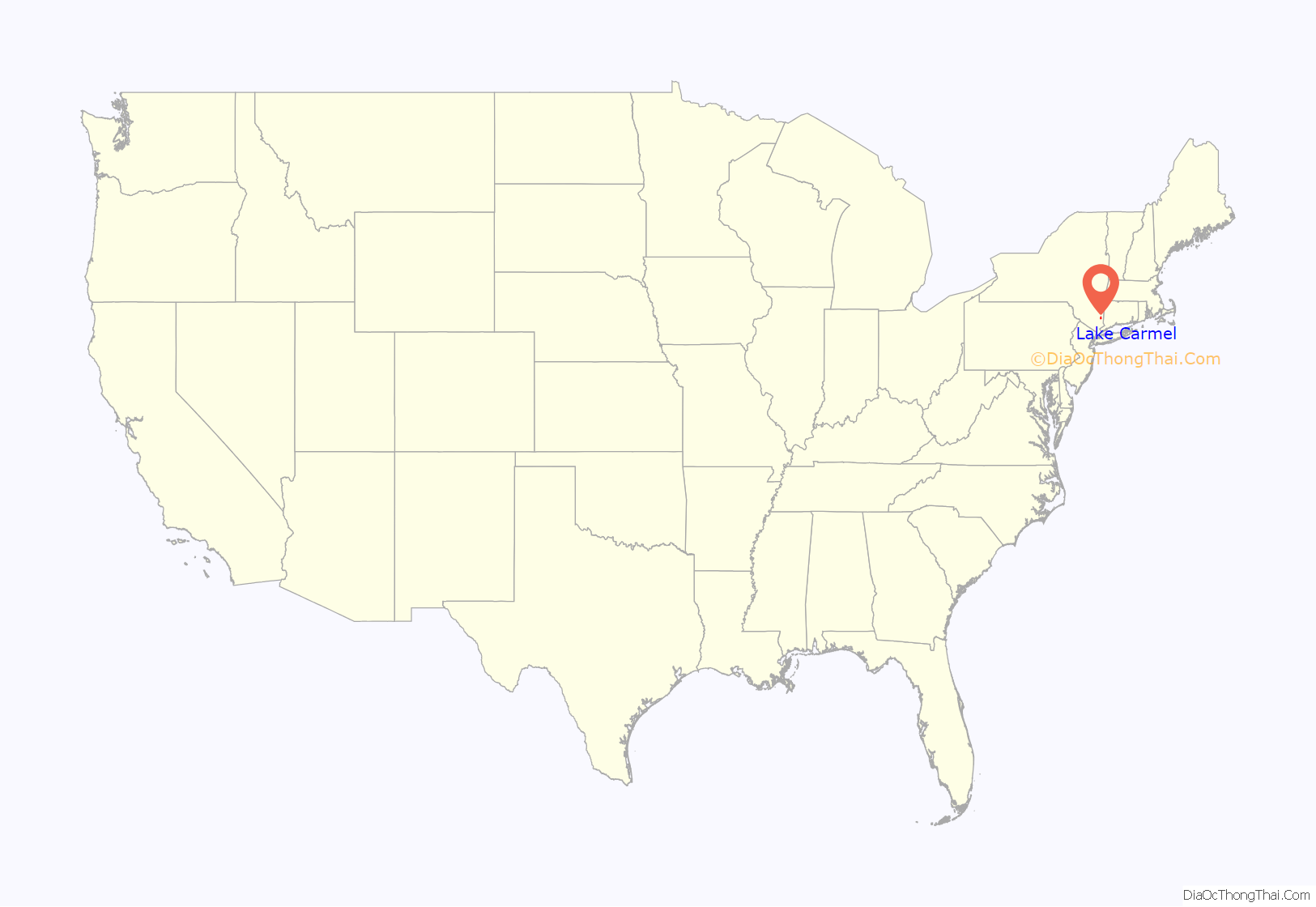
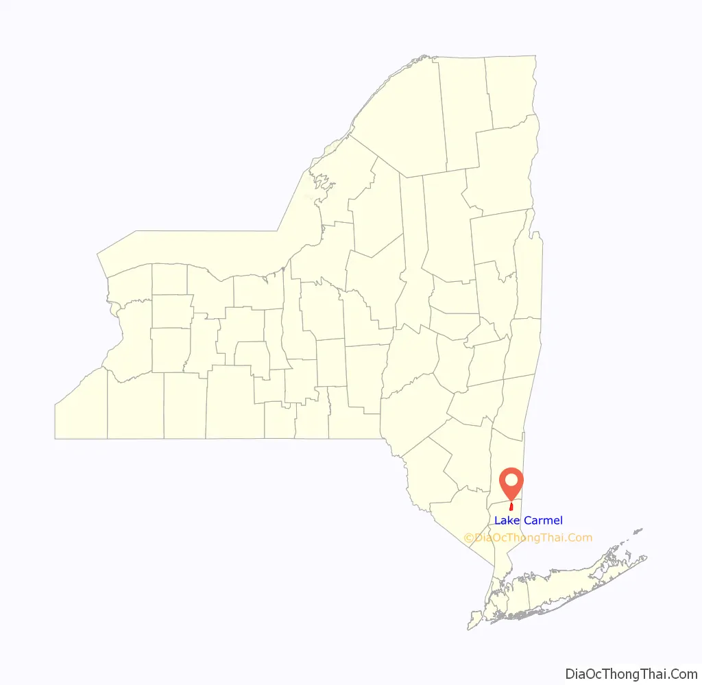
Lake Carmel location map. Where is Lake Carmel CDP?
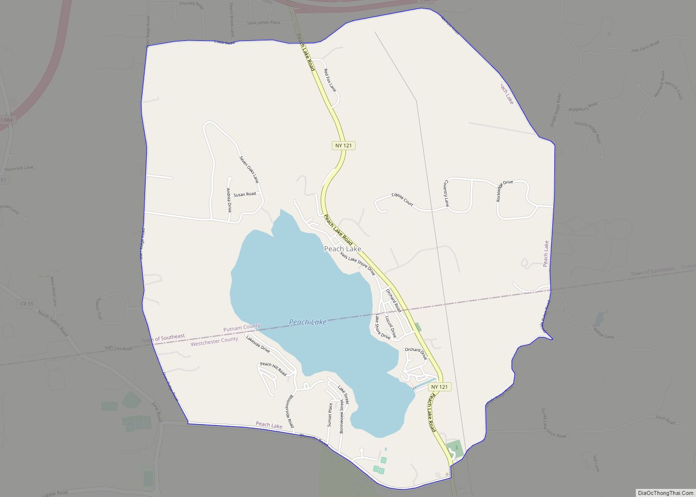
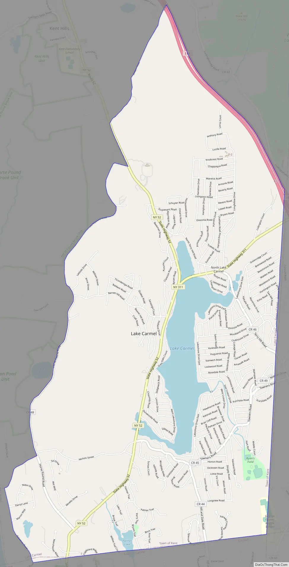
Lake Carmel Road Map
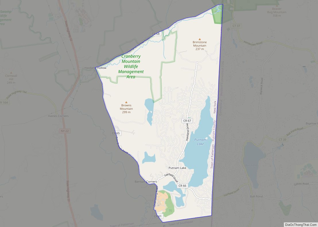
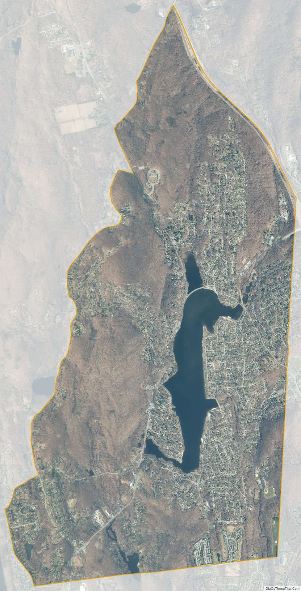
Lake Carmel city Satellite Map
Geography
Lake Carmel is located at 41°27′37″N 73°39′42″W / 41.46028°N 73.66167°W / 41.46028; -73.66167 (41.460268, -73.661663). According to the United States Census Bureau, the community has a total area of 5.5 square miles (14 km), of which 5.2 square miles (13 km) is land and 0.3 square miles (0.78 km), or 6.35%, is water.
The community is west of Interstate 84, accessed at Exits 58 and 61. Lake Carmel mail can be addressed to Carmel or Kent Lakes as well as Lake Carmel.
See also
Map of New York State and its subdivision:- Albany
- Allegany
- Bronx
- Broome
- Cattaraugus
- Cayuga
- Chautauqua
- Chemung
- Chenango
- Clinton
- Columbia
- Cortland
- Delaware
- Dutchess
- Erie
- Essex
- Franklin
- Fulton
- Genesee
- Greene
- Hamilton
- Herkimer
- Jefferson
- Kings
- Lake Ontario
- Lewis
- Livingston
- Madison
- Monroe
- Montgomery
- Nassau
- New York
- Niagara
- Oneida
- Onondaga
- Ontario
- Orange
- Orleans
- Oswego
- Otsego
- Putnam
- Queens
- Rensselaer
- Richmond
- Rockland
- Saint Lawrence
- Saratoga
- Schenectady
- Schoharie
- Schuyler
- Seneca
- Steuben
- Suffolk
- Sullivan
- Tioga
- Tompkins
- Ulster
- Warren
- Washington
- Wayne
- Westchester
- Wyoming
- Yates
- Alabama
- Alaska
- Arizona
- Arkansas
- California
- Colorado
- Connecticut
- Delaware
- District of Columbia
- Florida
- Georgia
- Hawaii
- Idaho
- Illinois
- Indiana
- Iowa
- Kansas
- Kentucky
- Louisiana
- Maine
- Maryland
- Massachusetts
- Michigan
- Minnesota
- Mississippi
- Missouri
- Montana
- Nebraska
- Nevada
- New Hampshire
- New Jersey
- New Mexico
- New York
- North Carolina
- North Dakota
- Ohio
- Oklahoma
- Oregon
- Pennsylvania
- Rhode Island
- South Carolina
- South Dakota
- Tennessee
- Texas
- Utah
- Vermont
- Virginia
- Washington
- West Virginia
- Wisconsin
- Wyoming