Limestone is a hamlet (and census-designated place) in Cattaraugus County, New York, United States. The population was 389 at the 2010 census.
The former village lies in the southern part of the town of Carrollton and is 6 miles (10 km) north of the city of Bradford, Pennsylvania. The name is said to derive from the rapid deterioration of some excavated skeletons, which quickly became white dust upon exposure to air.
| Name: | Limestone CDP |
|---|---|
| LSAD Code: | 57 |
| LSAD Description: | CDP (suffix) |
| State: | New York |
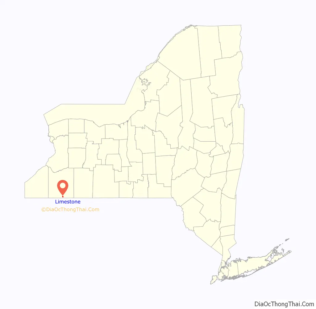
| County: | Cattaraugus County |
| Incorporated: | December 7, 1877 |
| Elevation: | 1,411 ft (430 m) |
| Total Area: | 1.70 sq mi (4.40 km²) |
| Land Area: | 1.69 sq mi (4.37 km²) |
| Water Area: | 0.01 sq mi (0.03 km²) |
| Total Population: | 358 |
| Population Density: | 212.21/sq mi (81.94/km²) |
| ZIP code: | 14753 |
| Area code: | 716 |
| FIPS code: | 3642378 |
| GNISfeature ID: | 0955350 |
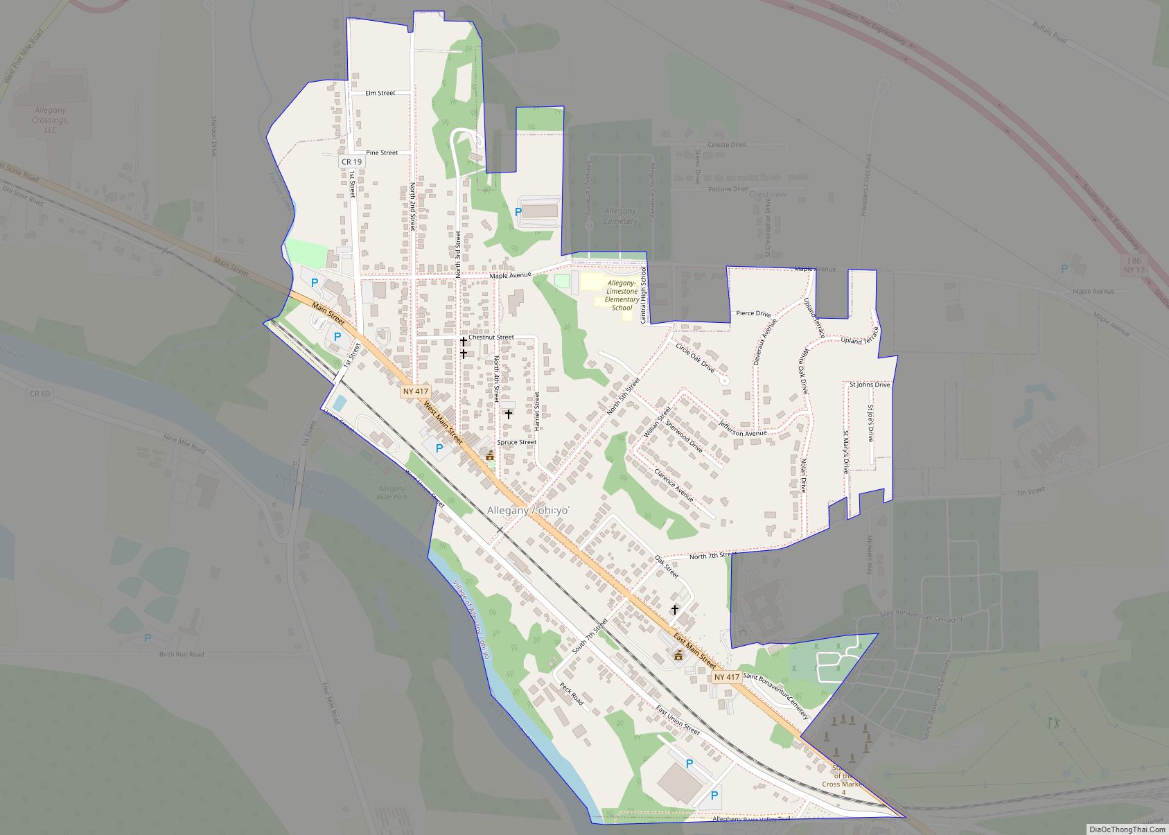
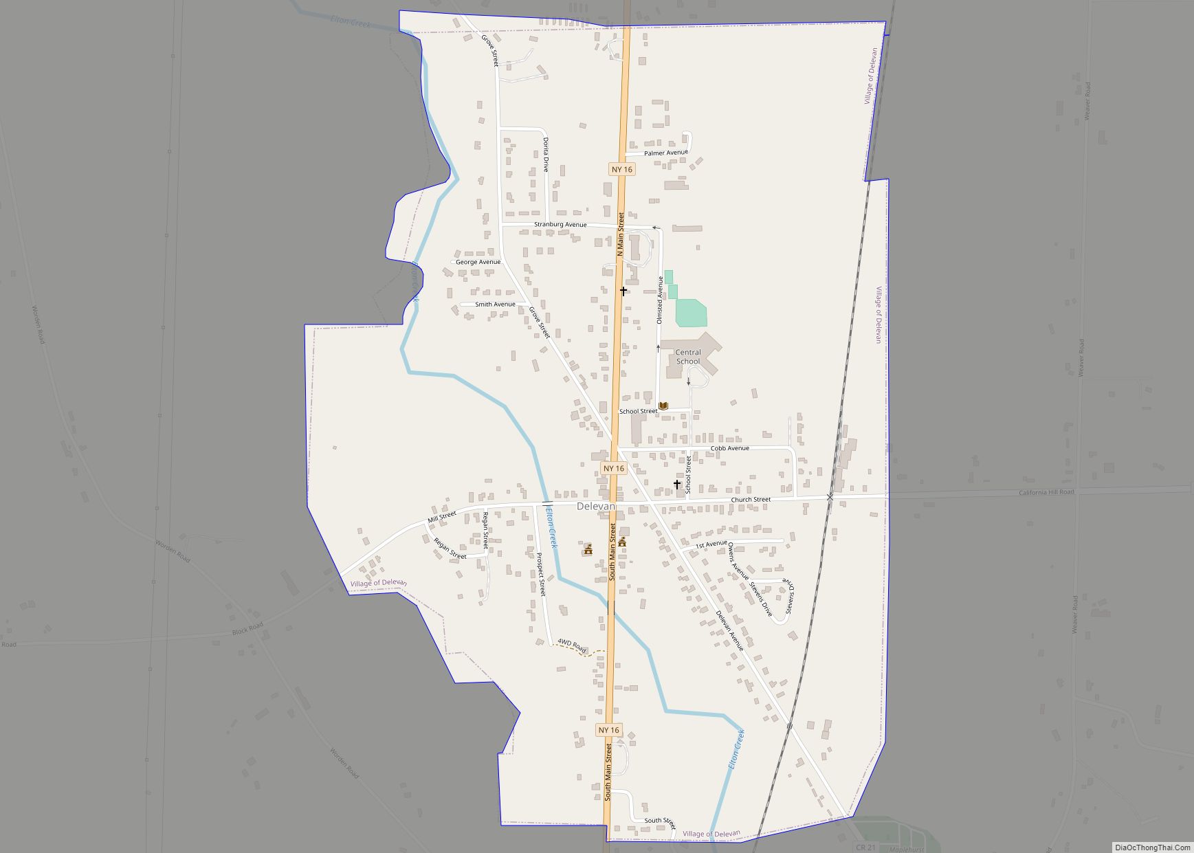
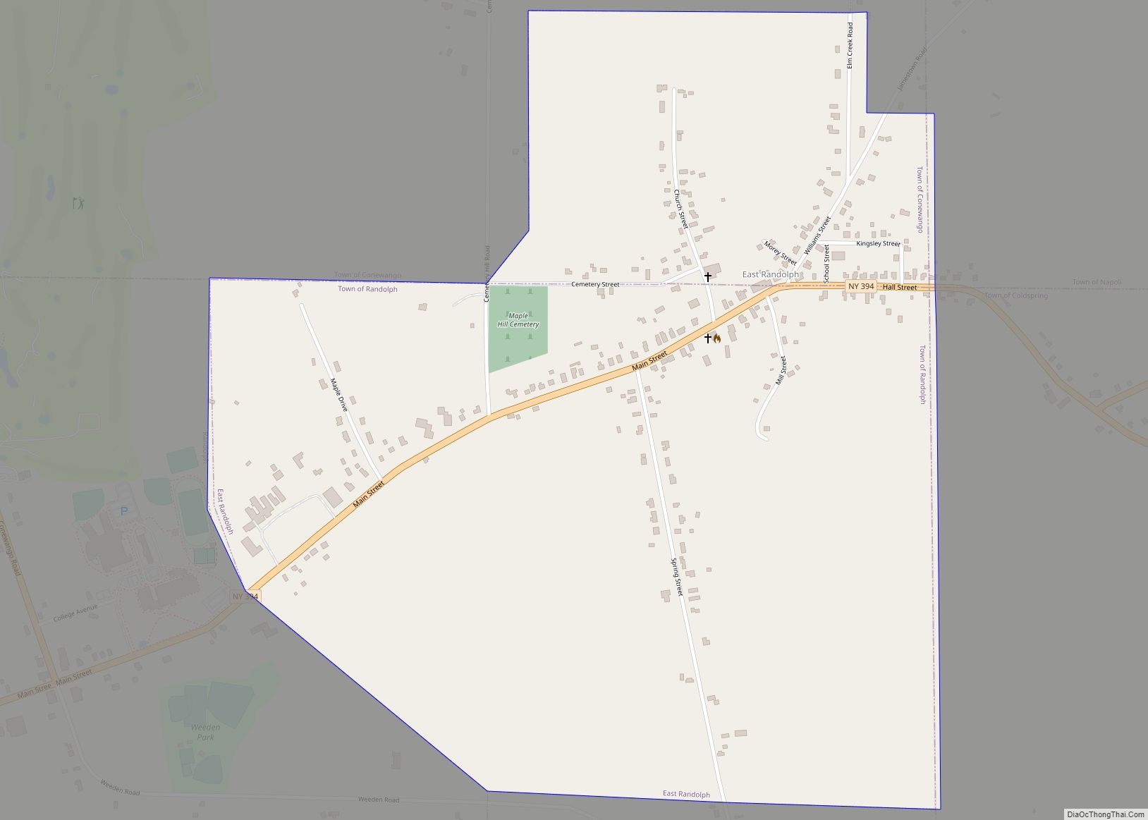
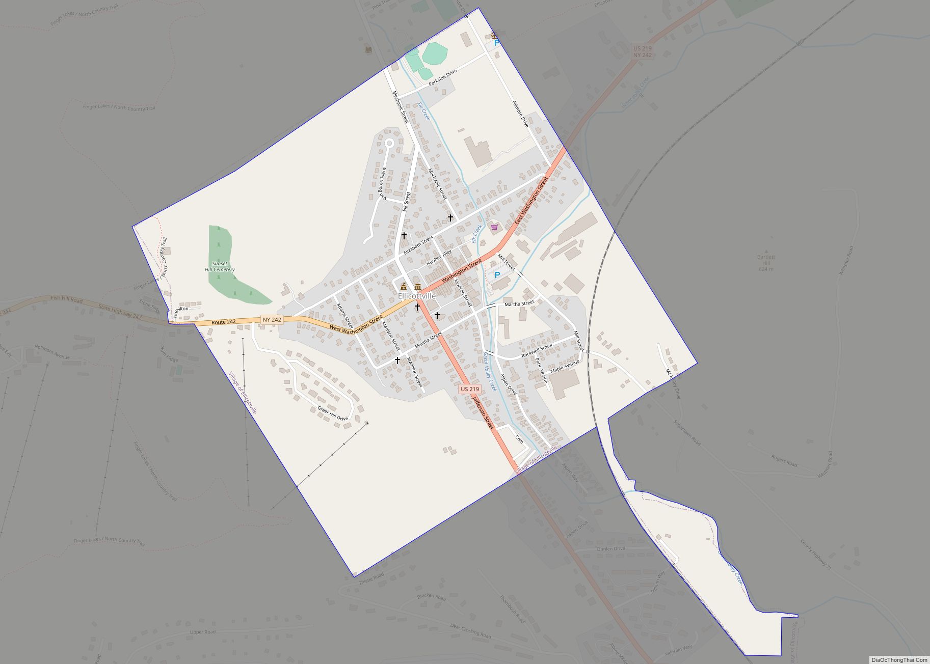
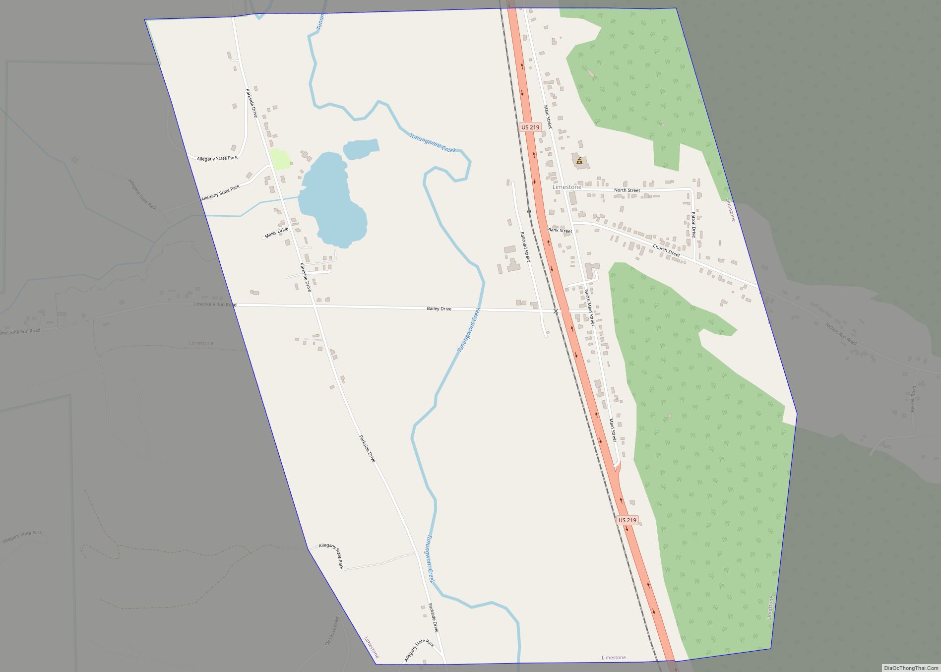
Online Interactive Map
Click on ![]() to view map in "full screen" mode.
to view map in "full screen" mode.
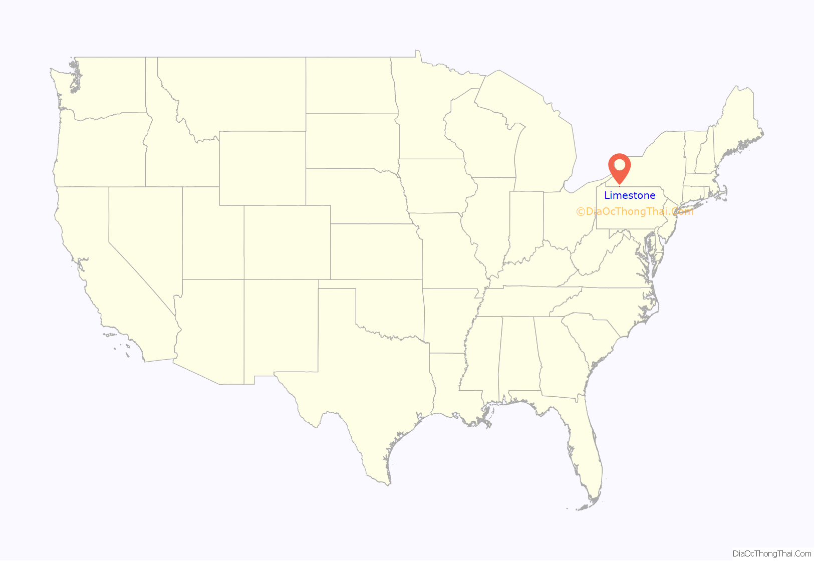
Limestone location map. Where is Limestone CDP?
History
The village of Limestone was incorporated in 1877. In 2008, 187 village residents signed a petition calling for the village’s dissolution. It was predicted that as a result of dissolution, both village and town residents would see their taxes decrease, by four and 46 percent respectively. Additionally, the town would receive $750,000 in state aid. The village’s incorporation was dissolved following the successful passage of a referendum on October 13, 2009; the dissolution took effect January 1, 2011. Of the village’s 229 registered voters, 97 voted, 71 of them in favor of dissolution.
The Limestone Central School District (mascot: the Tigers) was headquartered in the village until 1995, when it merged with Allegany Central School to form the current Allegany-Limestone Central School. The school building remained open as an elementary school until 2010, by which point attendance at the building had dropped to 67 students, well below what would have been needed to support it.
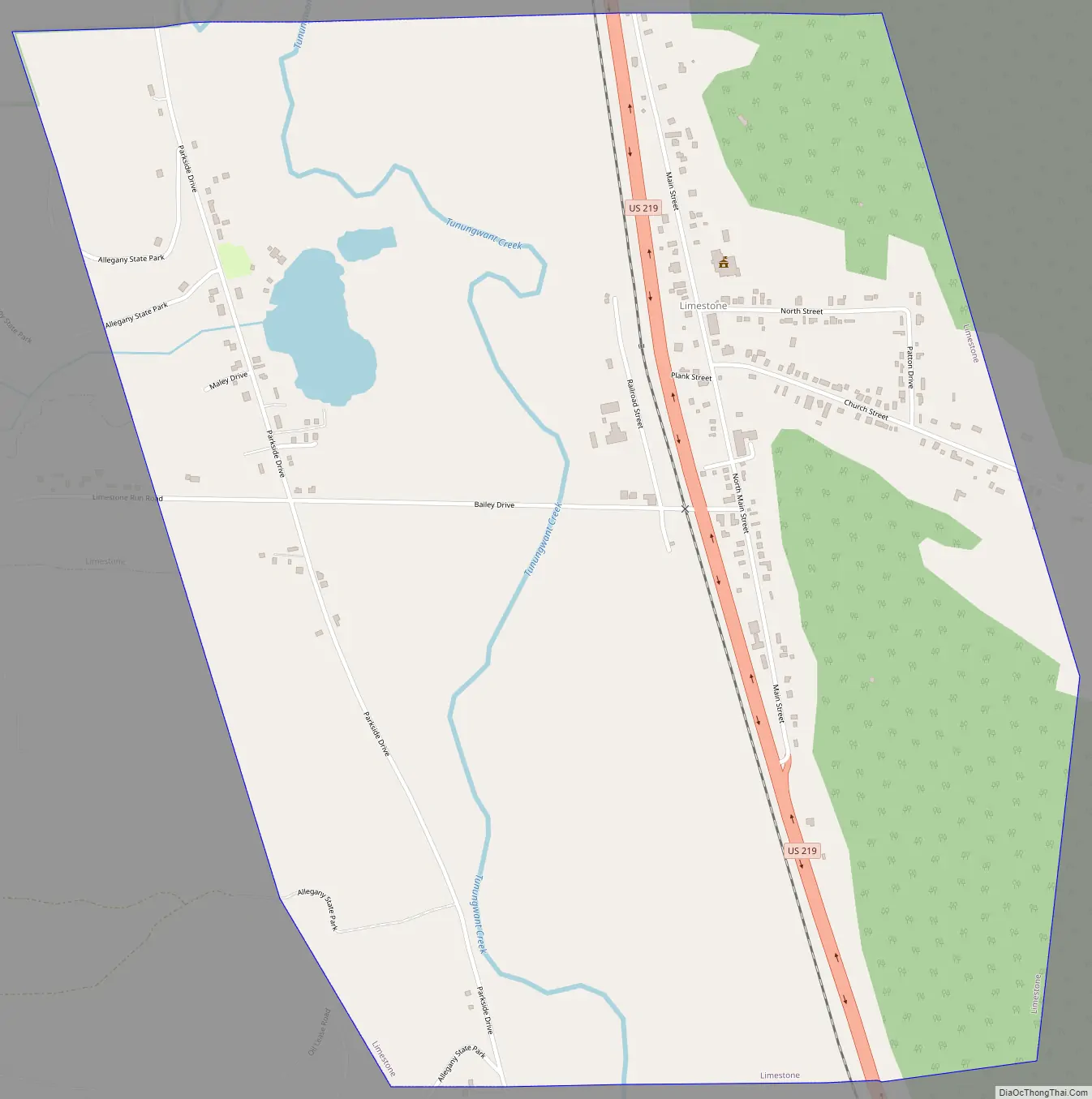
Limestone Road Map
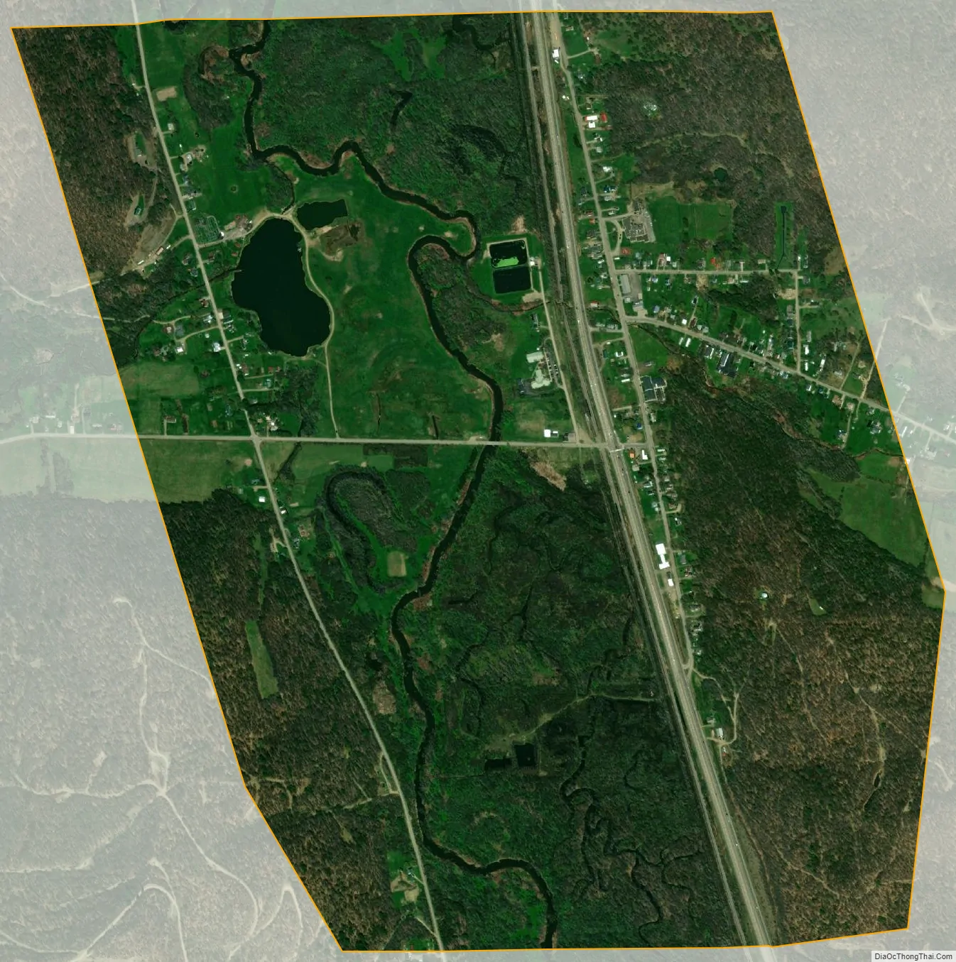
Limestone city Satellite Map
Geography
Limestone is located at 42°1′34″N 78°37′59″W / 42.02611°N 78.63306°W / 42.02611; -78.63306 (42.026029, -78.632983).
According to the United States Census Bureau, the former village has a total area of 1.6 square miles (4.2 km), of which 0.01 square miles (0.03 km), or 0.64%, is water.
The hamlet is 2 miles (3 km) north of the state line of Pennsylvania. Limestone is located on U.S. Route 219, and is on the east side of the Allegany State Park. Tunungwant Creek (also known as “Tuna Creek”), a tributary of the Allegheny River, flows south to north along the village’s western side. Nichols Run flows from the east through the center of the hamlet.
See also
Map of New York State and its subdivision:- Albany
- Allegany
- Bronx
- Broome
- Cattaraugus
- Cayuga
- Chautauqua
- Chemung
- Chenango
- Clinton
- Columbia
- Cortland
- Delaware
- Dutchess
- Erie
- Essex
- Franklin
- Fulton
- Genesee
- Greene
- Hamilton
- Herkimer
- Jefferson
- Kings
- Lake Ontario
- Lewis
- Livingston
- Madison
- Monroe
- Montgomery
- Nassau
- New York
- Niagara
- Oneida
- Onondaga
- Ontario
- Orange
- Orleans
- Oswego
- Otsego
- Putnam
- Queens
- Rensselaer
- Richmond
- Rockland
- Saint Lawrence
- Saratoga
- Schenectady
- Schoharie
- Schuyler
- Seneca
- Steuben
- Suffolk
- Sullivan
- Tioga
- Tompkins
- Ulster
- Warren
- Washington
- Wayne
- Westchester
- Wyoming
- Yates
- Alabama
- Alaska
- Arizona
- Arkansas
- California
- Colorado
- Connecticut
- Delaware
- District of Columbia
- Florida
- Georgia
- Hawaii
- Idaho
- Illinois
- Indiana
- Iowa
- Kansas
- Kentucky
- Louisiana
- Maine
- Maryland
- Massachusetts
- Michigan
- Minnesota
- Mississippi
- Missouri
- Montana
- Nebraska
- Nevada
- New Hampshire
- New Jersey
- New Mexico
- New York
- North Carolina
- North Dakota
- Ohio
- Oklahoma
- Oregon
- Pennsylvania
- Rhode Island
- South Carolina
- South Dakota
- Tennessee
- Texas
- Utah
- Vermont
- Virginia
- Washington
- West Virginia
- Wisconsin
- Wyoming