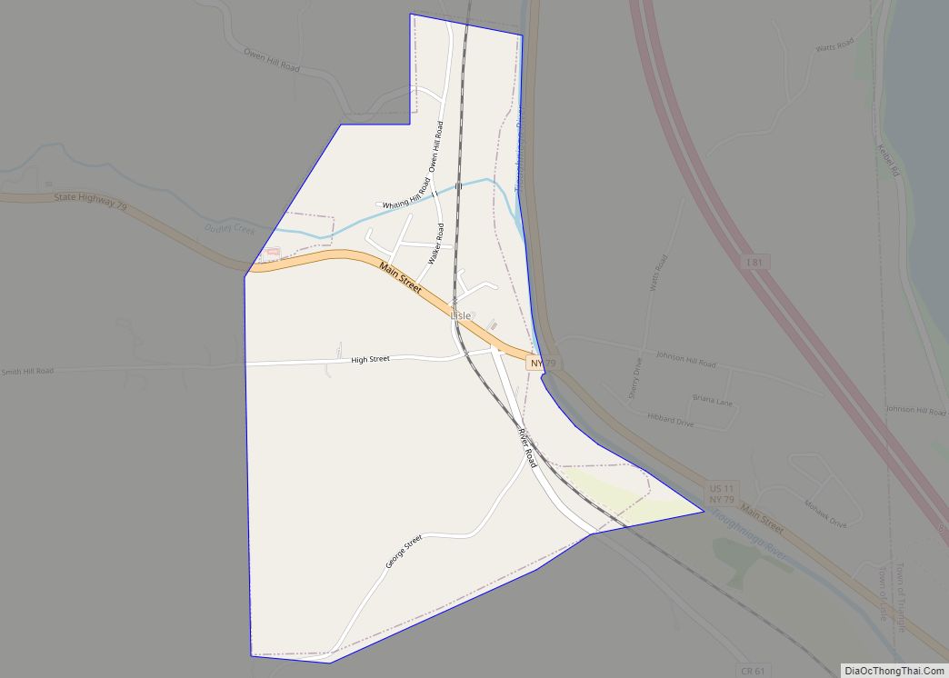
Lisle is a village in Broome County, New York, United States. The population was 320 at the 2010 census. It is part of the Binghamton Metropolitan Statistical Area. The village was named after a community in France.
The village of Lisle is in the southeast part of the town of Lisle and is north of Binghamton.
| Name: | Lisle village |
|---|---|
| LSAD Code: | 47 |
| LSAD Description: | village (suffix) |
| State: | New York |
| County: | Broome County |
| Elevation: | 974 ft (297 m) |
| Total Area: | 0.94 sq mi (2.43 km²) |
| Land Area: | 0.94 sq mi (2.43 km²) |
| Water Area: | 0.00 sq mi (0.00 km²) |
| Total Population: | 348 |
| Population Density: | 371.79/sq mi (143.49/km²) |
| ZIP code: | 13797 |
| Area code: | 607 |
| FIPS code: | 3642642 |
| GNISfeature ID: | 0955434 |
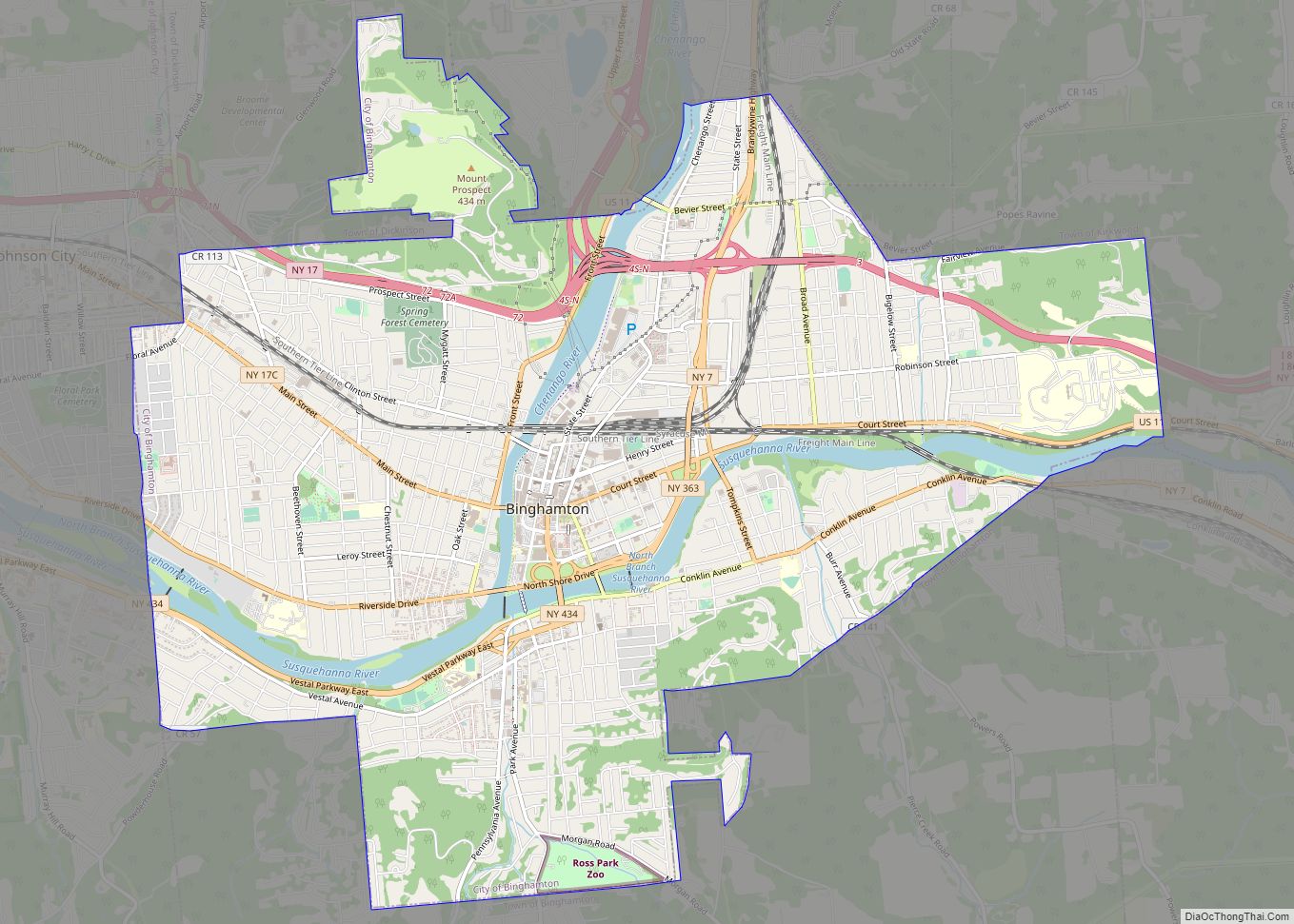
Online Interactive Map
Click on ![]() to view map in "full screen" mode.
to view map in "full screen" mode.
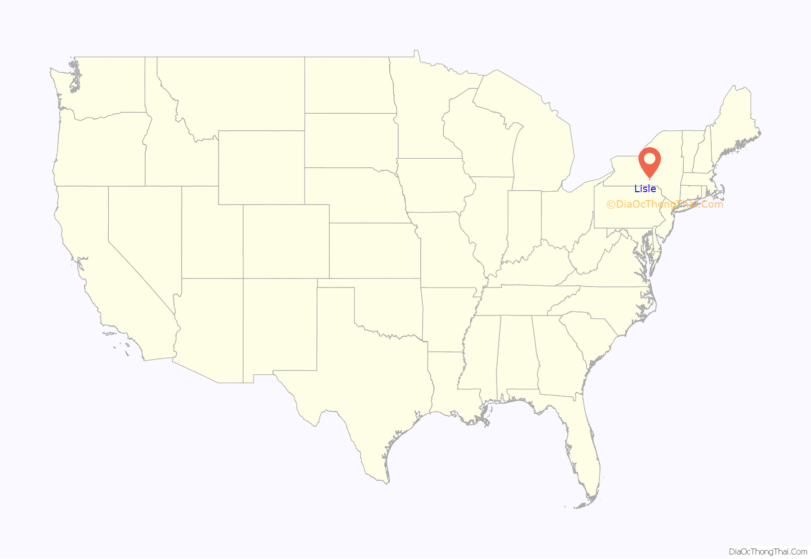
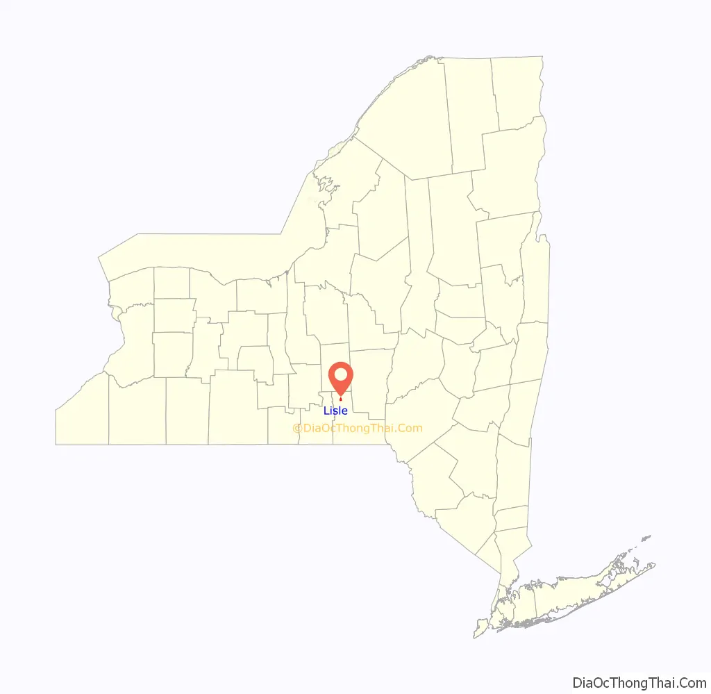
Lisle location map. Where is Lisle village?
History
The inhabitants voted against forming a village in 1867, but the village was later incorporated in 1876.
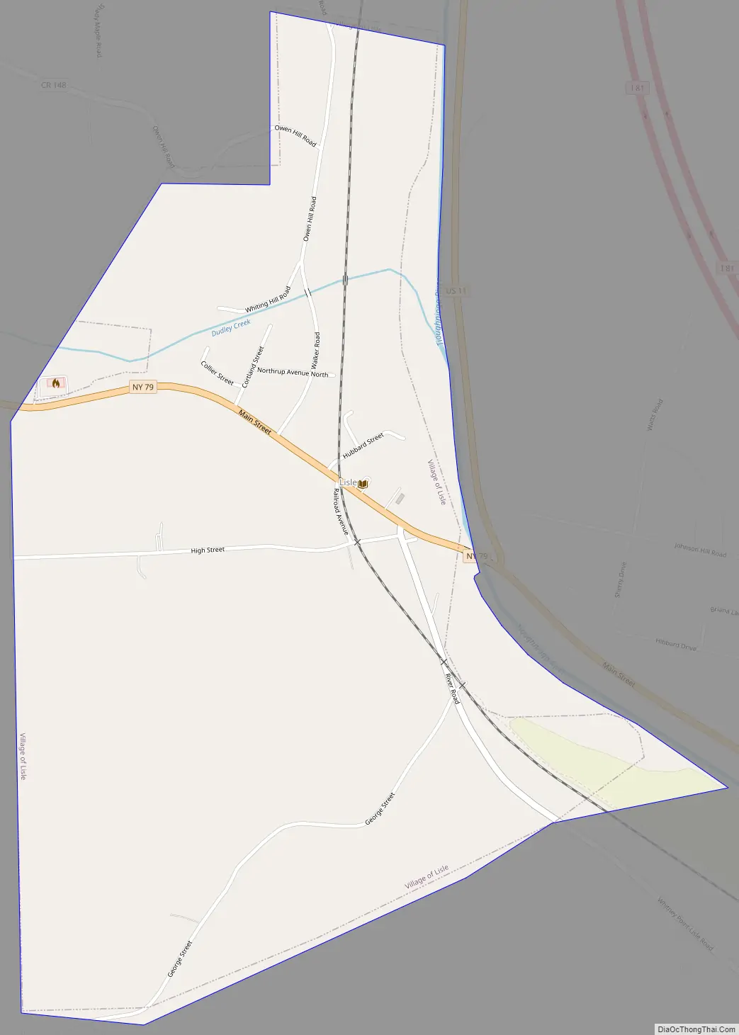
Lisle Road Map
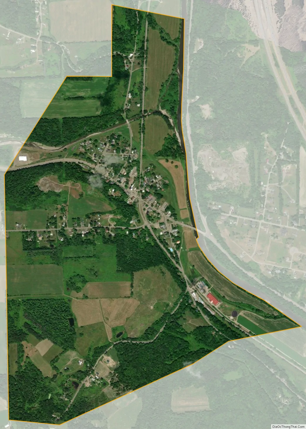
Lisle city Satellite Map
Geography
According to the United States Census Bureau, the village has a total area of 0.93 square miles (2.4 km), all land.
The Tioughnioga River forms the eastern boundary of the village. It is a tributary of the Susquehanna River.
The village is on New York State Route 79 west of U.S. Route 11 and Interstate 81, and is located one mile north of the larger village of Whitney Point.
See also
Map of New York State and its subdivision:- Albany
- Allegany
- Bronx
- Broome
- Cattaraugus
- Cayuga
- Chautauqua
- Chemung
- Chenango
- Clinton
- Columbia
- Cortland
- Delaware
- Dutchess
- Erie
- Essex
- Franklin
- Fulton
- Genesee
- Greene
- Hamilton
- Herkimer
- Jefferson
- Kings
- Lake Ontario
- Lewis
- Livingston
- Madison
- Monroe
- Montgomery
- Nassau
- New York
- Niagara
- Oneida
- Onondaga
- Ontario
- Orange
- Orleans
- Oswego
- Otsego
- Putnam
- Queens
- Rensselaer
- Richmond
- Rockland
- Saint Lawrence
- Saratoga
- Schenectady
- Schoharie
- Schuyler
- Seneca
- Steuben
- Suffolk
- Sullivan
- Tioga
- Tompkins
- Ulster
- Warren
- Washington
- Wayne
- Westchester
- Wyoming
- Yates
- Alabama
- Alaska
- Arizona
- Arkansas
- California
- Colorado
- Connecticut
- Delaware
- District of Columbia
- Florida
- Georgia
- Hawaii
- Idaho
- Illinois
- Indiana
- Iowa
- Kansas
- Kentucky
- Louisiana
- Maine
- Maryland
- Massachusetts
- Michigan
- Minnesota
- Mississippi
- Missouri
- Montana
- Nebraska
- Nevada
- New Hampshire
- New Jersey
- New Mexico
- New York
- North Carolina
- North Dakota
- Ohio
- Oklahoma
- Oregon
- Pennsylvania
- Rhode Island
- South Carolina
- South Dakota
- Tennessee
- Texas
- Utah
- Vermont
- Virginia
- Washington
- West Virginia
- Wisconsin
- Wyoming