Little Valley is a village in Cattaraugus County, New York, United States and as the county seat, is the location of the county fair (held in August in the fairgrounds north of the village). The village is in the northwest corner of the town of Little Valley, which is north of Salamanca. The village population was 1,084 at the 2020 census, out of a population of 1,740 within the entire town.
The village’s name is a relative comparison of two tributaries (the other being the neighboring Great Valley) of the Allegheny River.
| Name: | Little Valley village |
|---|---|
| LSAD Code: | 47 |
| LSAD Description: | village (suffix) |
| State: | New York |
| County: | Cattaraugus County |
| Incorporated: | 1870 |
| Elevation: | 1,598 ft (487 m) |
| Total Area: | 1.00 sq mi (2.60 km²) |
| Land Area: | 1.00 sq mi (2.60 km²) |
| Water Area: | 0.00 sq mi (0.00 km²) |
| Total Population: | 1,058 |
| Population Density: | 1,055.89/sq mi (407.67/km²) |
| ZIP code: | 14755 |
| Area code: | 716 |
| FIPS code: | 3642829 |
| GNISfeature ID: | 0955720 |
| Website: | www.villageoflittlevalley.org |
Online Interactive Map
Click on ![]() to view map in "full screen" mode.
to view map in "full screen" mode.
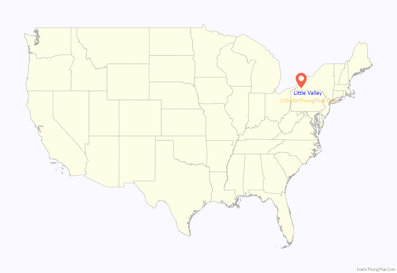
Little Valley location map. Where is Little Valley village?
History
Prior to 1868, the village of Ellicottville was the county seat, but the presence of a railroad line in Little Valley prompted a move. The village of Little Valley was incorporated in 1876. The railroad line shut down around 1990.
The Little Valley post office is the only village structure listed on the National Register of Historic Places. The building is one of the newer buildings in the town, constructed in 1941 as project of the Works Progress Administration. Several other buildings (such as the Civil War Memorial Building in 1911 and the former Little Valley Central School building in 1921, as well as many of the houses) are significantly older than the post office.
Ira Joe Fisher, a daytime television personality and weather reporter, spent most of his childhood in Little Valley.
Little Valley Road Map
Little Valley city Satellite Map
Geography
The village of Little Valley is located in the northwest part of the town of Little Valley at 42°14′58″N 78°47′59″W / 42.24944°N 78.79972°W / 42.24944; -78.79972 (42.249555, -78.799775).
According to the United States Census Bureau, the village has a total area of 1.0 square mile (2.6 km), all land.
Little Valley Creek, a tributary of the Allegheny River, flows past the northeast side of the village. A smaller creek, Lees Hollow, flanks Little Valley Creek on the southern side of the village. Another creek without a name flows through the middle of the Village. Historical records and maps do not indicate a name for this creek.
State routes NY-242 and NY-353 converge at the village. County Routes 5 and 14 enter the village from the north.
Bus service is provided to the village by Coach USA (on its Jamestown to New York City line) and the Seneca Transit System (on its Buffalo to Highbanks line).
The Pat McGee Trail runs through Little Valley and has a major stop at a former rail depot (now a pavilion) in the village.
See also
Map of New York State and its subdivision:- Albany
- Allegany
- Bronx
- Broome
- Cattaraugus
- Cayuga
- Chautauqua
- Chemung
- Chenango
- Clinton
- Columbia
- Cortland
- Delaware
- Dutchess
- Erie
- Essex
- Franklin
- Fulton
- Genesee
- Greene
- Hamilton
- Herkimer
- Jefferson
- Kings
- Lake Ontario
- Lewis
- Livingston
- Madison
- Monroe
- Montgomery
- Nassau
- New York
- Niagara
- Oneida
- Onondaga
- Ontario
- Orange
- Orleans
- Oswego
- Otsego
- Putnam
- Queens
- Rensselaer
- Richmond
- Rockland
- Saint Lawrence
- Saratoga
- Schenectady
- Schoharie
- Schuyler
- Seneca
- Steuben
- Suffolk
- Sullivan
- Tioga
- Tompkins
- Ulster
- Warren
- Washington
- Wayne
- Westchester
- Wyoming
- Yates
- Alabama
- Alaska
- Arizona
- Arkansas
- California
- Colorado
- Connecticut
- Delaware
- District of Columbia
- Florida
- Georgia
- Hawaii
- Idaho
- Illinois
- Indiana
- Iowa
- Kansas
- Kentucky
- Louisiana
- Maine
- Maryland
- Massachusetts
- Michigan
- Minnesota
- Mississippi
- Missouri
- Montana
- Nebraska
- Nevada
- New Hampshire
- New Jersey
- New Mexico
- New York
- North Carolina
- North Dakota
- Ohio
- Oklahoma
- Oregon
- Pennsylvania
- Rhode Island
- South Carolina
- South Dakota
- Tennessee
- Texas
- Utah
- Vermont
- Virginia
- Washington
- West Virginia
- Wisconsin
- Wyoming
