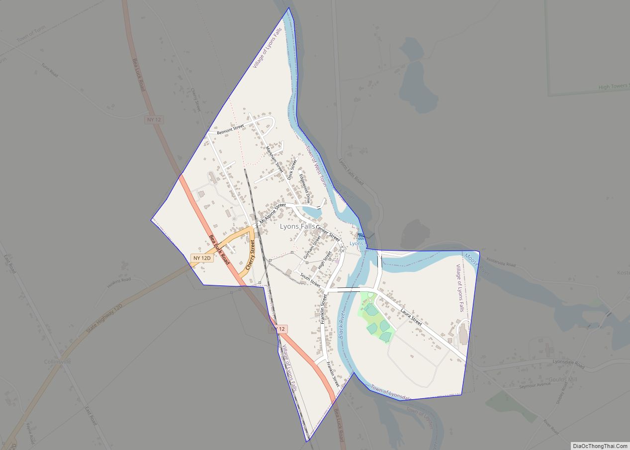
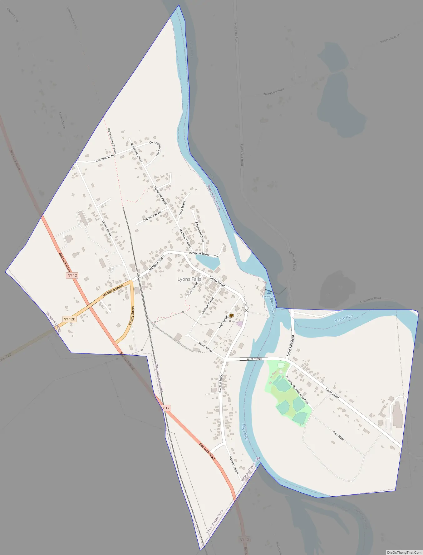
Lyons Falls is a village in Lewis County, New York, United States. The population was 566 at the 2010 census. The village is on the border of the towns of West Turin and Lyonsdale. It is at the junction of state Routes 12 and 12D, approximately 14 miles (23 km) south of Lowville, the county seat.
| Name: | Lyons Falls village |
|---|---|
| LSAD Code: | 47 |
| LSAD Description: | village (suffix) |
| State: | New York |
| County: | Lewis County |
| Elevation: | 830 ft (253 m) |
| Total Area: | 1.07 sq mi (2.77 km²) |
| Land Area: | 0.97 sq mi (2.52 km²) |
| Water Area: | 0.10 sq mi (0.25 km²) |
| Total Population: | 570 |
| Population Density: | 584.62/sq mi (225.81/km²) |
| ZIP code: | 13368 |
| Area code: | 315 |
| FIPS code: | 3644006 |
| GNISfeature ID: | 956202 |
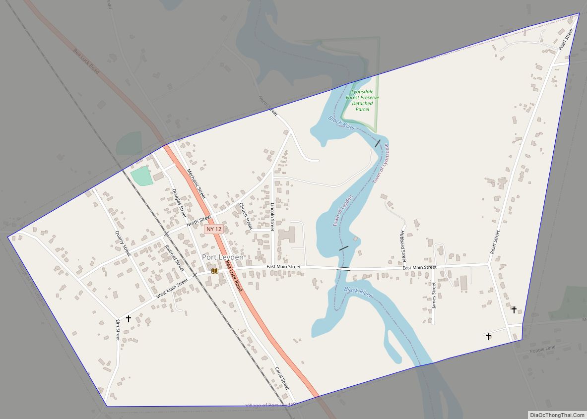
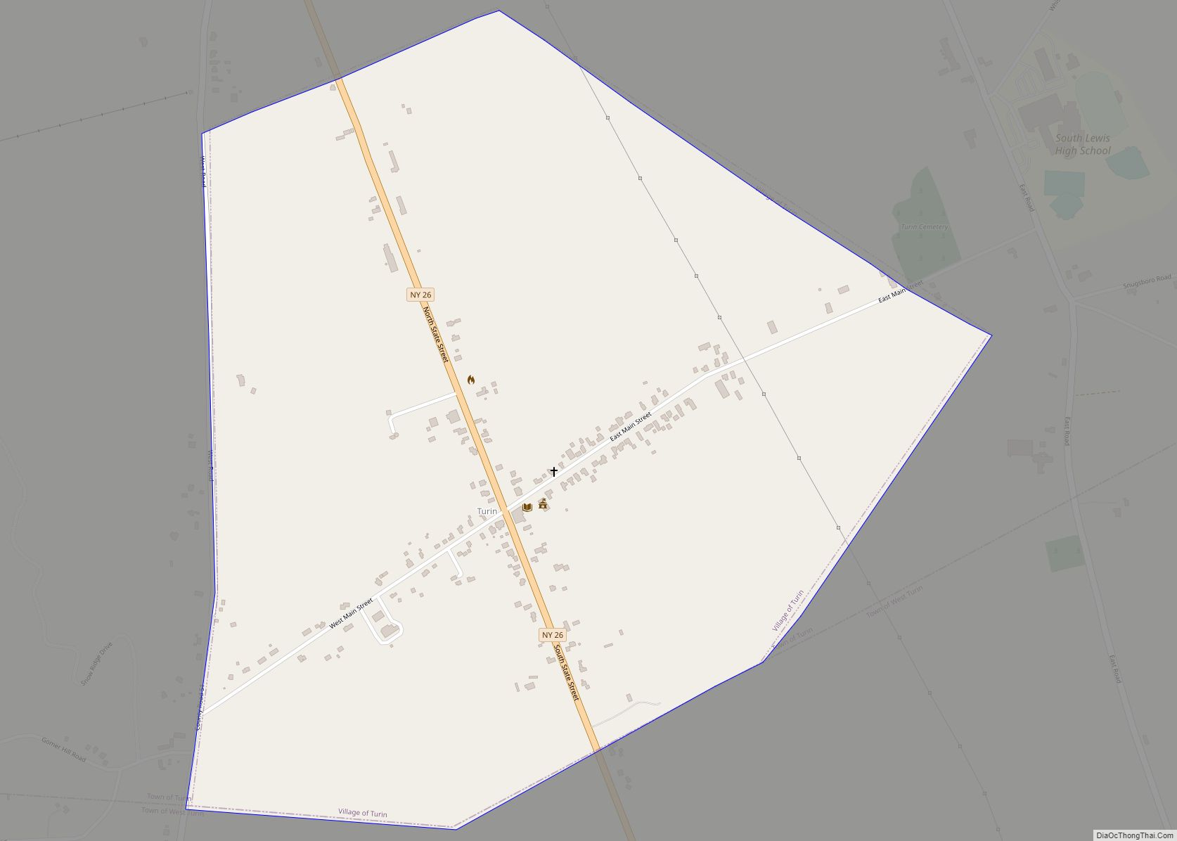
Online Interactive Map
Click on ![]() to view map in "full screen" mode.
to view map in "full screen" mode.
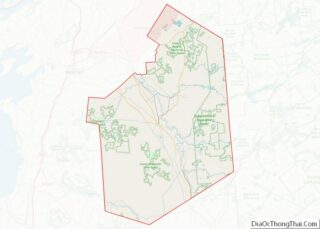
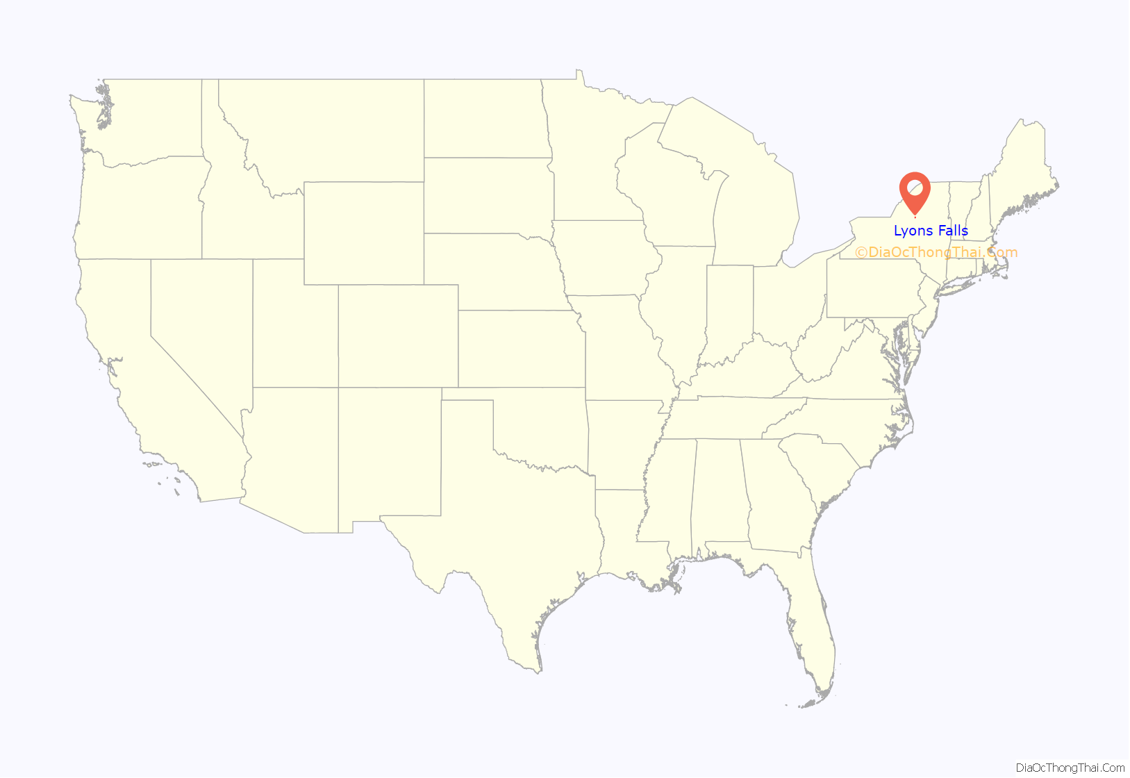
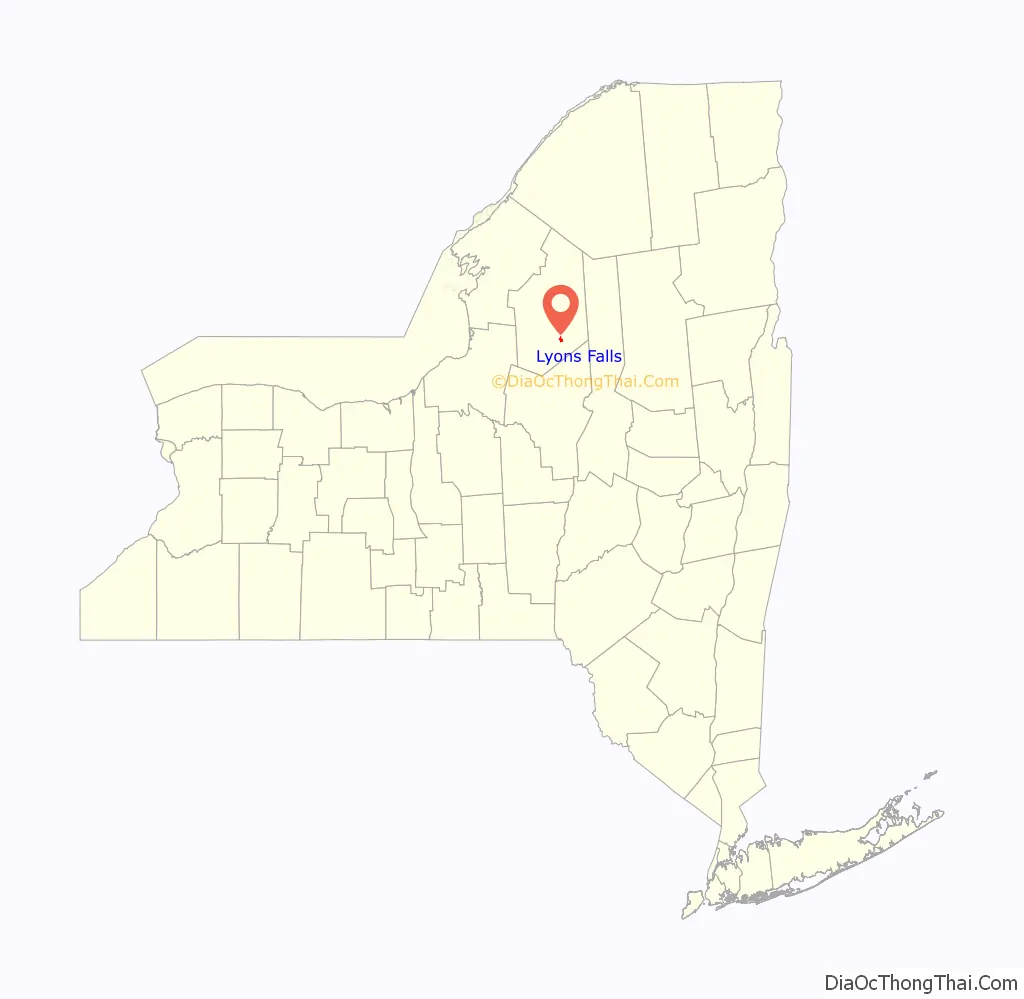
Lyons Falls location map. Where is Lyons Falls village?
History
The village was at the northern end of the Black River Canal, when it was completed in 1858.
The Forest Presbyterian Church, Gould Mansion Complex, and The Pines are listed on the National Register of Historic Places. The Wildwood Cemetery and Mary Lyon Fisher Memorial Chapel was added in 2011.
Lyons Falls Road Map
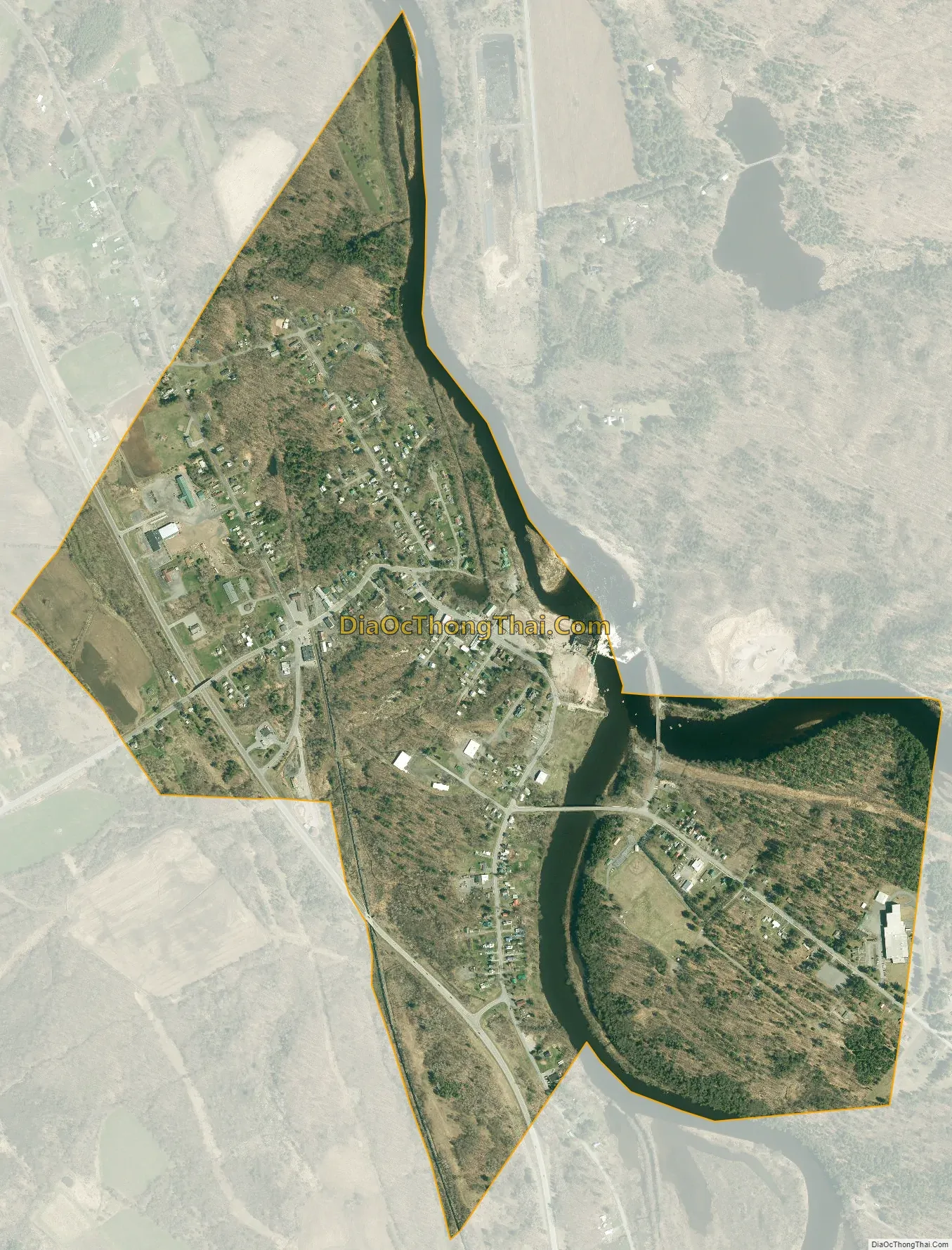
Lyons Falls city Satellite Map
Geography
Lyons Falls is located in southern Lewis County at 43°37′1″N 75°21′42″W / 43.61694°N 75.36167°W / 43.61694; -75.36167 (43.616984, -75.361750). According to the United States Census Bureau, the village has a total area of 1.1 square miles (2.8 km), of which 1.0 square mile (2.5 km) are land and 0.1 square miles (0.3 km), or 9.03%, are water. The village is situated at a 70-foot (21 m) waterfall on the Black River, which flows northward through the village and is joined from the east just above the falls by the Moose River. Most of the village is in the town of West Turin, on the west side of the Black River, while a less densely developed part of the village, including Riverside Park, is in the town of Lyonsdale on the east side of the river.
New York State Route 12 passes through the west side of the village, leading north 14 miles (23 km) to Lowville and south 10 miles (16 km) to Boonville. Route 12D crosses Route 12 on an overpass, with connection via Cherry Street. 12D leads south to Boonville as well, following a more westerly 11-mile (18 km) route.
See also
Map of New York State and its subdivision:- Albany
- Allegany
- Bronx
- Broome
- Cattaraugus
- Cayuga
- Chautauqua
- Chemung
- Chenango
- Clinton
- Columbia
- Cortland
- Delaware
- Dutchess
- Erie
- Essex
- Franklin
- Fulton
- Genesee
- Greene
- Hamilton
- Herkimer
- Jefferson
- Kings
- Lake Ontario
- Lewis
- Livingston
- Madison
- Monroe
- Montgomery
- Nassau
- New York
- Niagara
- Oneida
- Onondaga
- Ontario
- Orange
- Orleans
- Oswego
- Otsego
- Putnam
- Queens
- Rensselaer
- Richmond
- Rockland
- Saint Lawrence
- Saratoga
- Schenectady
- Schoharie
- Schuyler
- Seneca
- Steuben
- Suffolk
- Sullivan
- Tioga
- Tompkins
- Ulster
- Warren
- Washington
- Wayne
- Westchester
- Wyoming
- Yates
- Alabama
- Alaska
- Arizona
- Arkansas
- California
- Colorado
- Connecticut
- Delaware
- District of Columbia
- Florida
- Georgia
- Hawaii
- Idaho
- Illinois
- Indiana
- Iowa
- Kansas
- Kentucky
- Louisiana
- Maine
- Maryland
- Massachusetts
- Michigan
- Minnesota
- Mississippi
- Missouri
- Montana
- Nebraska
- Nevada
- New Hampshire
- New Jersey
- New Mexico
- New York
- North Carolina
- North Dakota
- Ohio
- Oklahoma
- Oregon
- Pennsylvania
- Rhode Island
- South Carolina
- South Dakota
- Tennessee
- Texas
- Utah
- Vermont
- Virginia
- Washington
- West Virginia
- Wisconsin
- Wyoming