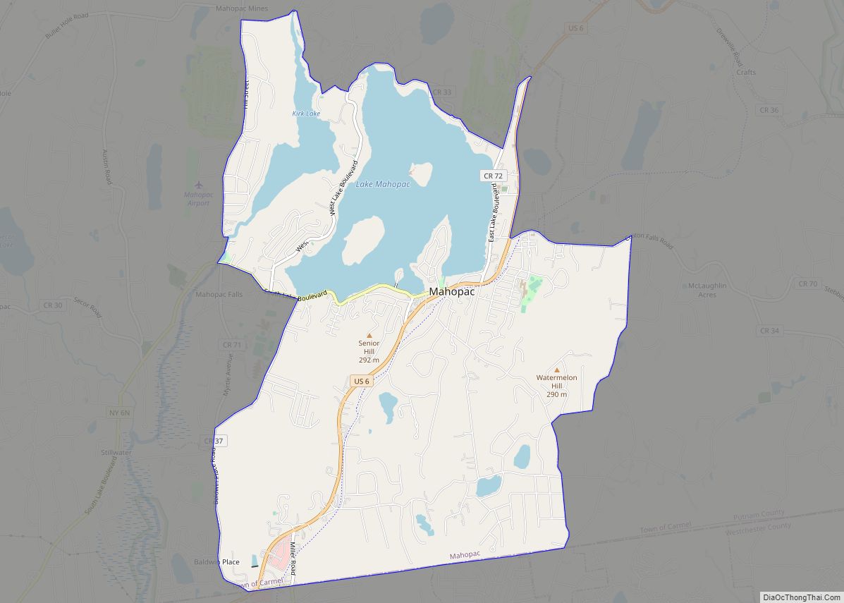
Mahopac (/ˈmeɪəˌpæk/ or /ˌməˈhoʊpæk/) is a hamlet (and census-designated place) in the town of Carmel in Putnam County, New York, United States. Also known as Lake Mahopac, the exurb is located some 47 miles (76 km) north of New York City, on US Route 6 at the county’s southern central border with Westchester County. As of the 2020 census, the population was 8,932.
| Name: | Mahopac CDP |
|---|---|
| LSAD Code: | 57 |
| LSAD Description: | CDP (suffix) |
| State: | New York |
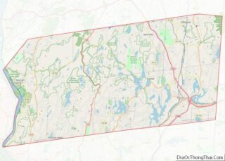
| County: | Putnam County |
| Elevation: | 666 ft (203 m) |
| Total Area: | 7.32 sq mi (18.96 km²) |
| Land Area: | 6.13 sq mi (15.87 km²) |
| Water Area: | 1.19 sq mi (3.09 km²) |
| Total Population: | 8,932 |
| Population Density: | 1,457.33/sq mi (562.72/km²) |
| ZIP code: | 10541 |
| Area code: | 845 |
| FIPS code: | 3644534 |
| GNISfeature ID: | 0956273 |
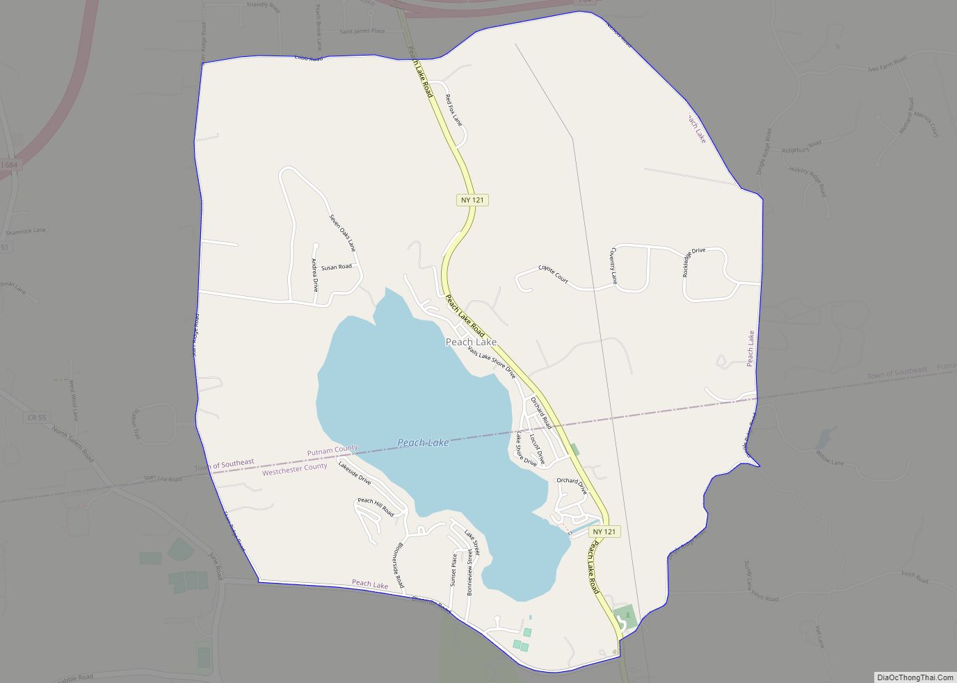
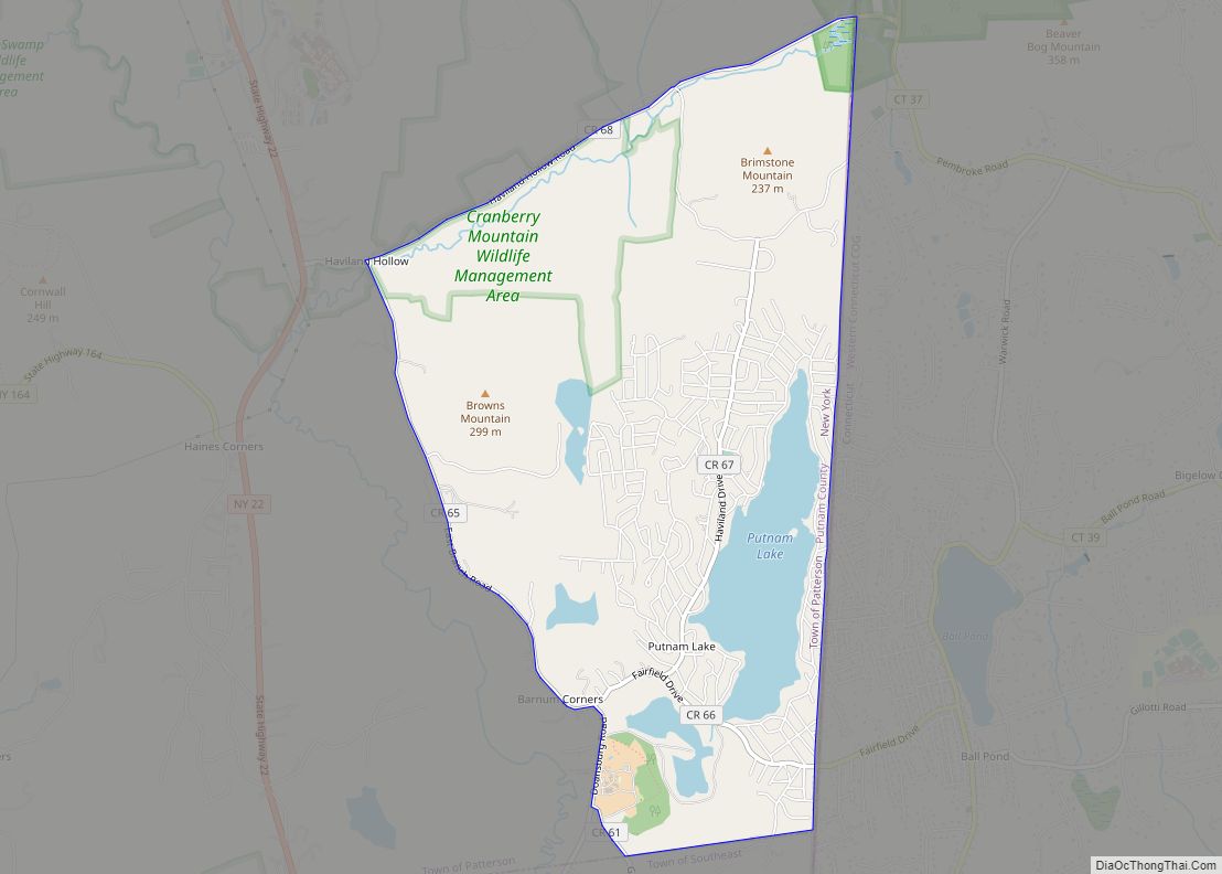
Online Interactive Map
Click on ![]() to view map in "full screen" mode.
to view map in "full screen" mode.
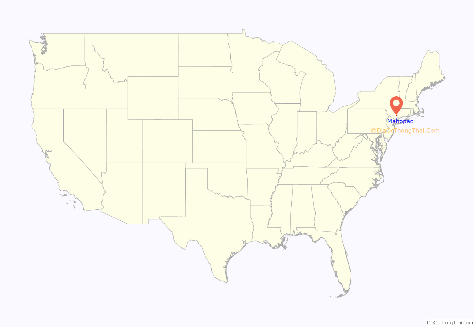
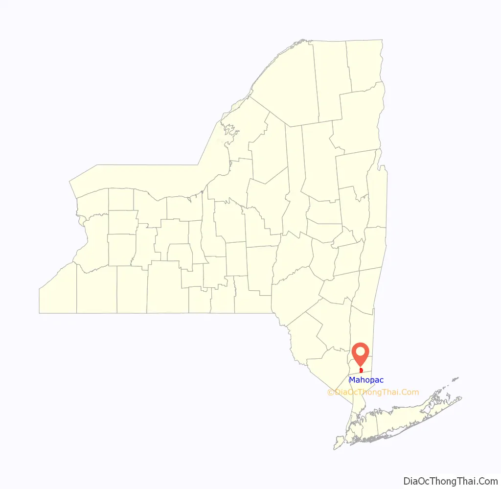
Mahopac location map. Where is Mahopac CDP?
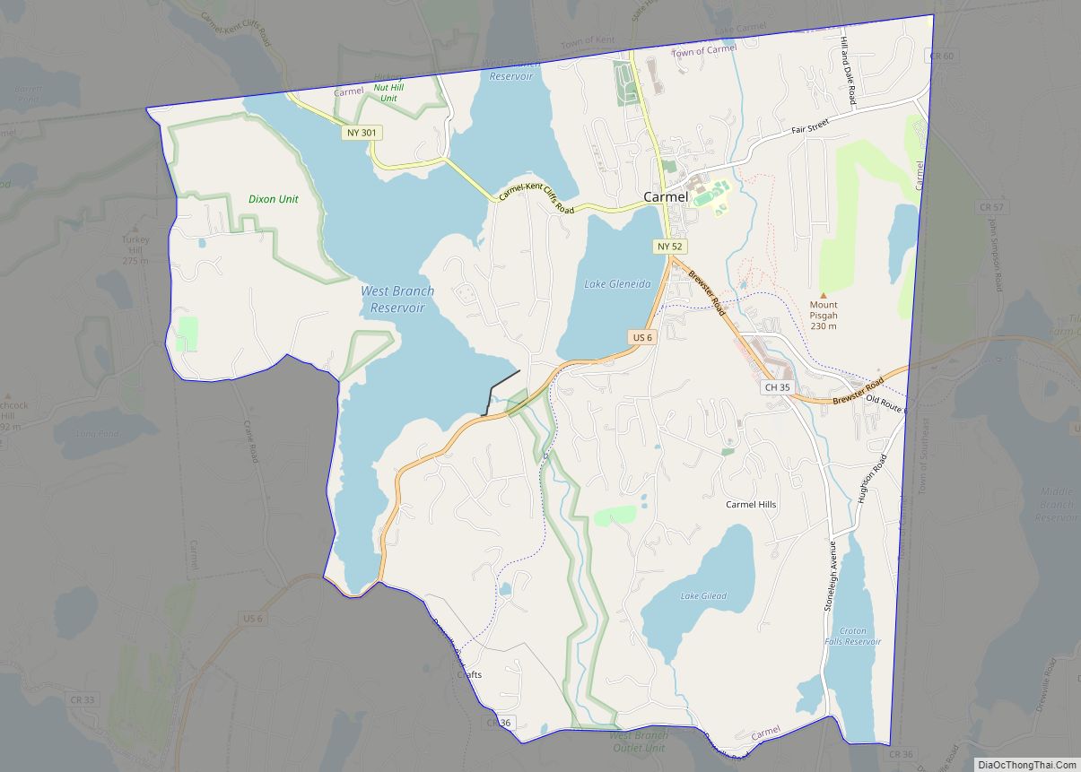
History
Mahopac was originally inhabited by the Wappinger people, an Algonquian tribe. The hamlet’s land was part of a huge tract encompassing all of today’s Putnam County patented in 1697 by Adolphus Philipse, son of a wealthy Anglo-Dutch gentryman, known as the Philipse Patent. During the French and Indian War, Wappingers throughout Putnam County traveled north to Massachusetts to fight for the British.
When the British Crown refused to return their land after the war, most Wappingers abandoned the area, concentrating in Stockbridge, Massachusetts before relocating with other displaced Native Americans elsewhere. Farmers and their families migrated to Mahopac from as far away as Cape Cod and rented land from the Philipse family. Wheelwrights and blacksmiths set up shops to assist the tenant farmers.
Although no battles were fought in Mahopac during the American Revolution, the area was strategically important due to its location. With troop encampments in nearby Patterson, Yorktown, West Point, and Danbury, Connecticut, it was a cross-roads between key Colonial garrisons. Soldiers were stationed in Mahopac Falls to guard the Red Mills, an important center for grinding grain and storing flour for the American troops.
Upon Colonial victory in the Revolution, the Tory-sympathizing Philipse family lost its claim to the land, which was then resold to farmers and speculators by New York State. After the incorporation of Putnam County in 1812 the Mahopac area grew steadily. By the middle-19th century the hamlet had become a summer resort community. The New York and Harlem Railroad brought vacationers north from New York City to Croton Falls. Hotels would often have competing races of decorated horse-drawn coaches bringing passengers from the train to Lake Mahopac. After the Civil War a direct rail spur was laid, creating boom times for the village.
The locale remained primarily a summer resort until after World War II, when nearby highways such as the Taconic State and Saw Mill River parkways began to make travel by automobile convenient. With the passing of the New York Central Putnam Division’s last passenger service to Mahopac in 1959, the hamlet evolved into a year-round community, many of its residents making the commute to New York City.
Today
Mahopac has a 5,200 sq. ft (480 sq. m) library, featuring multiple reading rooms overlooking Lake Mahopac, abundant computers, a law library and conference rooms. The library is host to many public events including adult education, technology instruction, and yoga classes.
The Carmel Historical Society Museum in the Old Town Hall on McAlpin Avenue features many fascinating area artifacts.
Mahopac has had several motion pictures filmed on location. Among them are scenes from the 1982 comedy film Tootsie. An exterior shot is used in which the Mahopac Farm Playhouse exterior was converted to read “SYRACUSE FARM PLAYHOUSE.” The property, which at times has been host to flea markets and antique shows, was originally a dairy farm, which produced products sold as far south as New York City. The Playhouse was closed in the mid-1980s, and the property, which lies along the Westchester County border, is now being considered for commercial development.
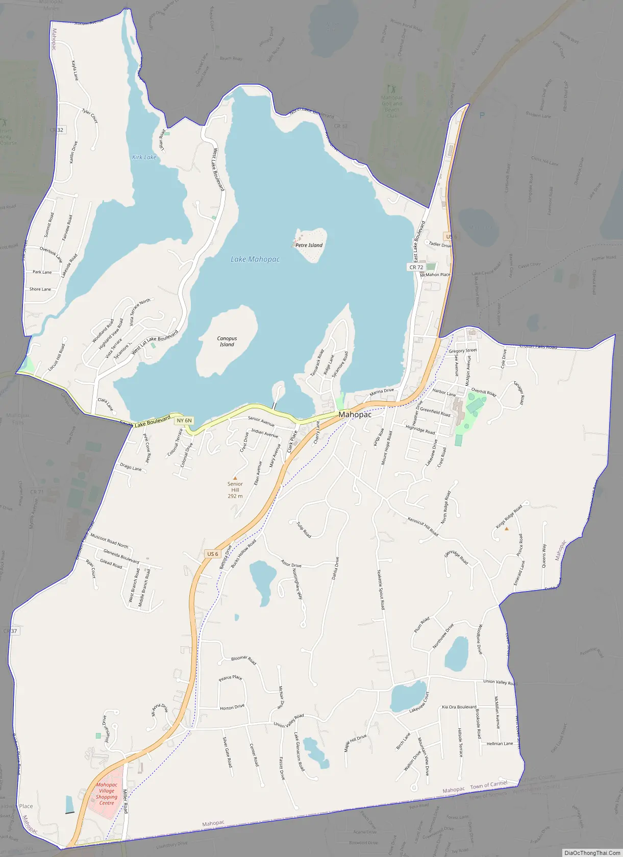
Mahopac Road Map
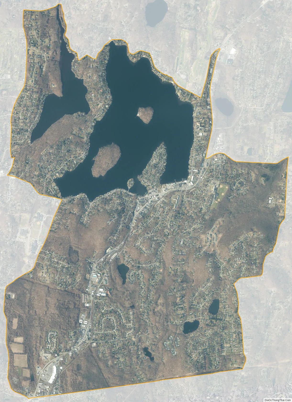
Mahopac city Satellite Map
Geography
According to the United States Census Bureau, the Mahopac CDP has a total area of 6.4 square miles (16.7 km), of which 5.3 square miles (13.7 km) is land and 1.1 square miles (2.9 km), or 17.57%, is water.
While the hamlet of Carmel is the seat of the county government, Mahopac, the largest population center in the town of Carmel, hosts the Town Hall. Both Mahopac (ZIP code 10541) and Mahopac Falls (10542) have their own post offices.
See also
Map of New York State and its subdivision:- Albany
- Allegany
- Bronx
- Broome
- Cattaraugus
- Cayuga
- Chautauqua
- Chemung
- Chenango
- Clinton
- Columbia
- Cortland
- Delaware
- Dutchess
- Erie
- Essex
- Franklin
- Fulton
- Genesee
- Greene
- Hamilton
- Herkimer
- Jefferson
- Kings
- Lake Ontario
- Lewis
- Livingston
- Madison
- Monroe
- Montgomery
- Nassau
- New York
- Niagara
- Oneida
- Onondaga
- Ontario
- Orange
- Orleans
- Oswego
- Otsego
- Putnam
- Queens
- Rensselaer
- Richmond
- Rockland
- Saint Lawrence
- Saratoga
- Schenectady
- Schoharie
- Schuyler
- Seneca
- Steuben
- Suffolk
- Sullivan
- Tioga
- Tompkins
- Ulster
- Warren
- Washington
- Wayne
- Westchester
- Wyoming
- Yates
- Alabama
- Alaska
- Arizona
- Arkansas
- California
- Colorado
- Connecticut
- Delaware
- District of Columbia
- Florida
- Georgia
- Hawaii
- Idaho
- Illinois
- Indiana
- Iowa
- Kansas
- Kentucky
- Louisiana
- Maine
- Maryland
- Massachusetts
- Michigan
- Minnesota
- Mississippi
- Missouri
- Montana
- Nebraska
- Nevada
- New Hampshire
- New Jersey
- New Mexico
- New York
- North Carolina
- North Dakota
- Ohio
- Oklahoma
- Oregon
- Pennsylvania
- Rhode Island
- South Carolina
- South Dakota
- Tennessee
- Texas
- Utah
- Vermont
- Virginia
- Washington
- West Virginia
- Wisconsin
- Wyoming