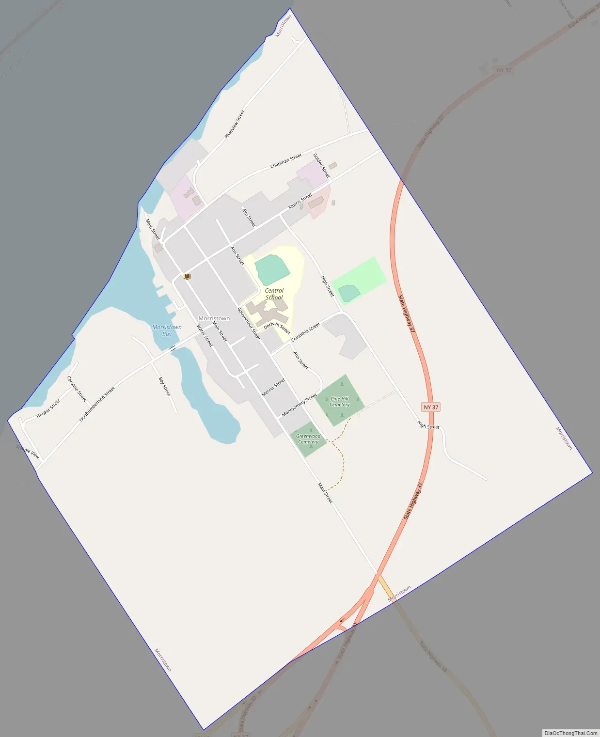
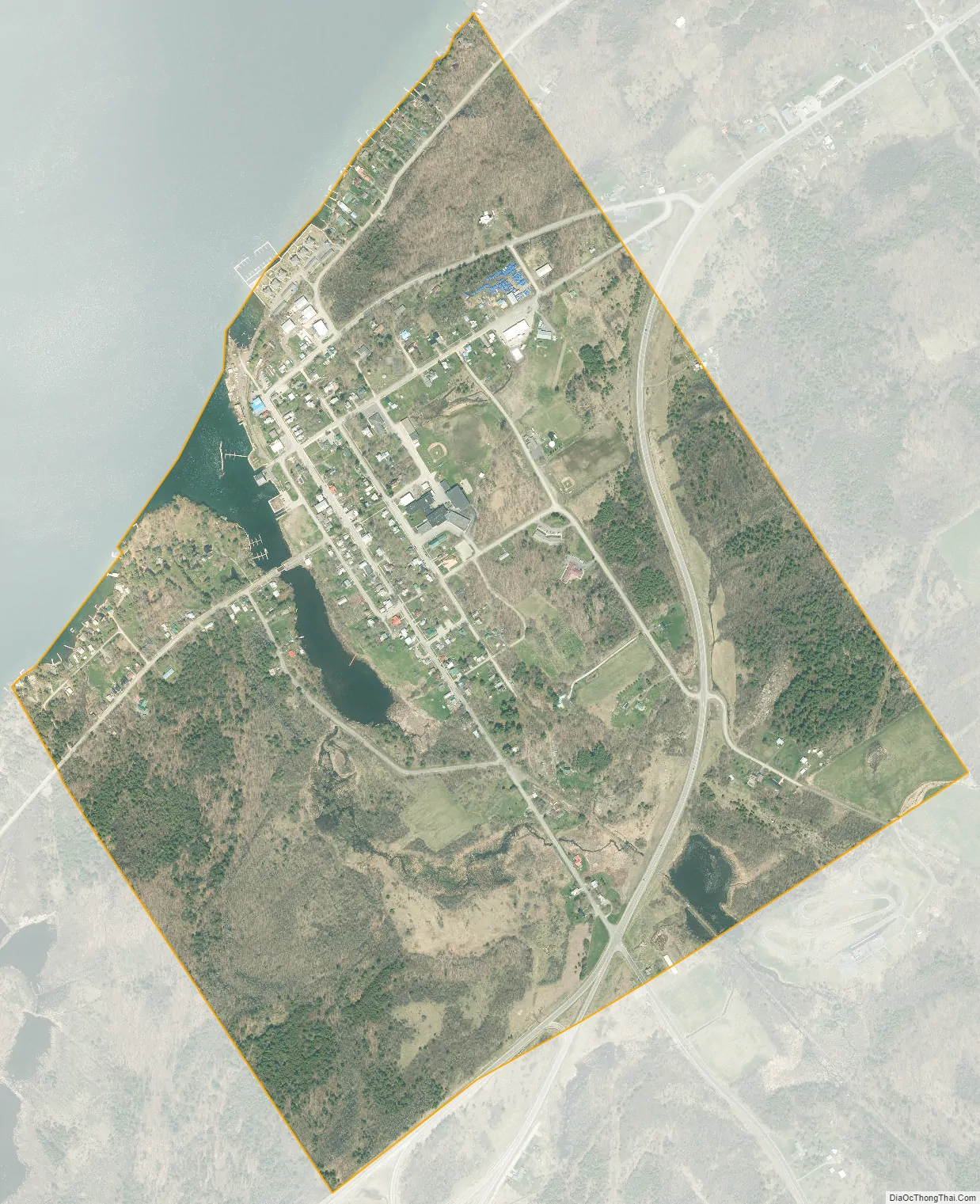
Morristown is a hamlet (and census-designated place) and former village along the Saint Lawrence River in St. Lawrence County, New York, United States. The population was 395 at the 2010 census. The village is named after Gouverneur Morris.
The hamlet is on the northern edge of the Town of Morristown and was north of Gouverneur.
Jacques Cartier State Park is southwest of the village.
The former village has their own school, Morristown Central School.
| Name: | Morristown village |
|---|---|
| LSAD Code: | 47 |
| LSAD Description: | village (suffix) |
| State: | New York |
| County: | St. Lawrence County |
| Elevation: | 289 ft (88 m) |
| Total Area: | 1.02 sq mi (2.65 km²) |
| Land Area: | 0.98 sq mi (2.54 km²) |
| Water Area: | 0.04 sq mi (0.10 km²) |
| Total Population: | 395 |
| Population Density: | 383.91/sq mi (148.22/km²) |
| FIPS code: | 3648571 |
| GNISfeature ID: | 0976680 |
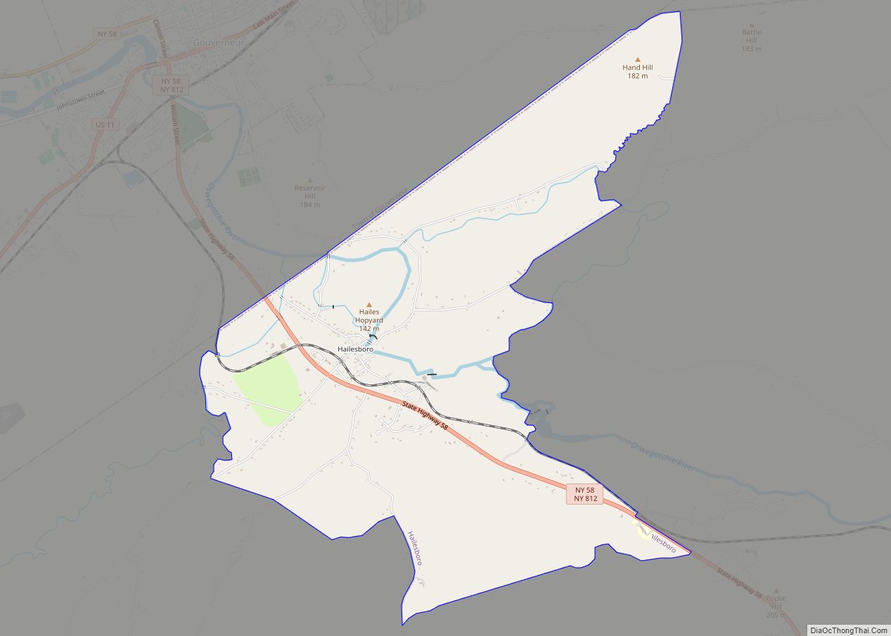
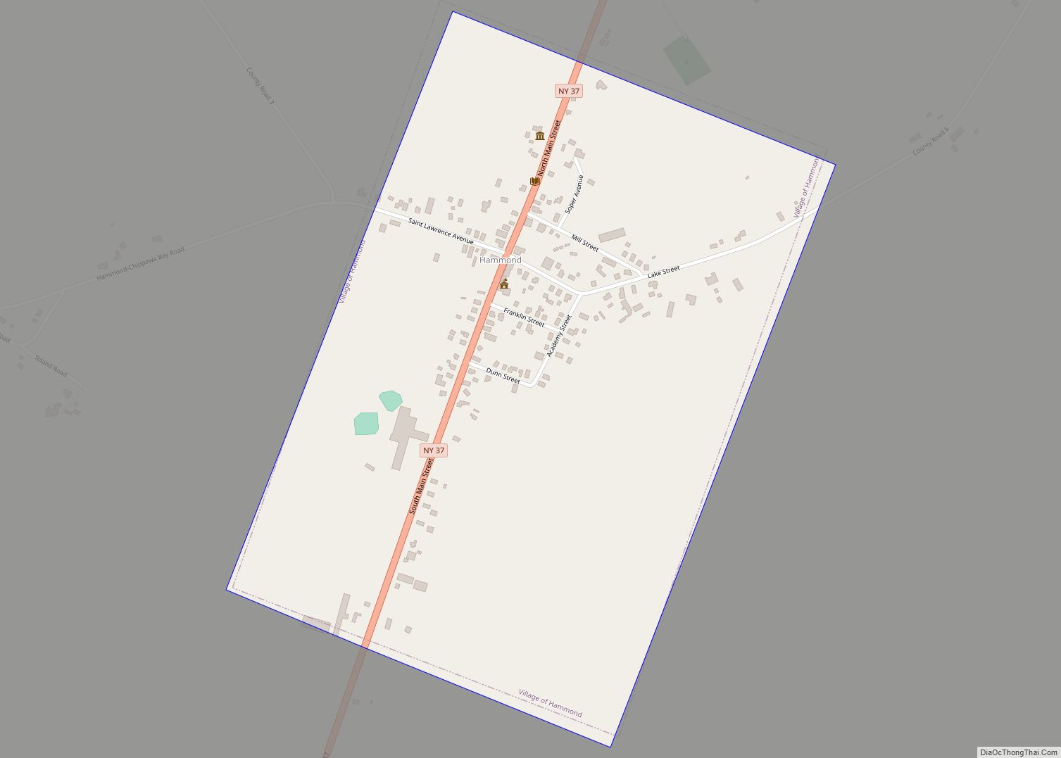
Online Interactive Map
Click on ![]() to view map in "full screen" mode.
to view map in "full screen" mode.
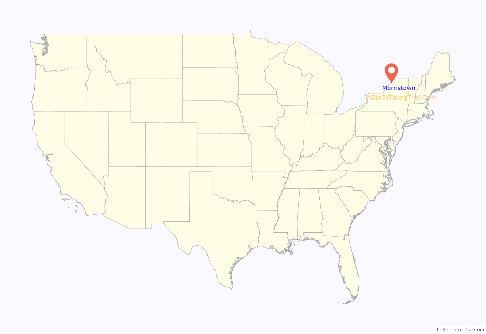
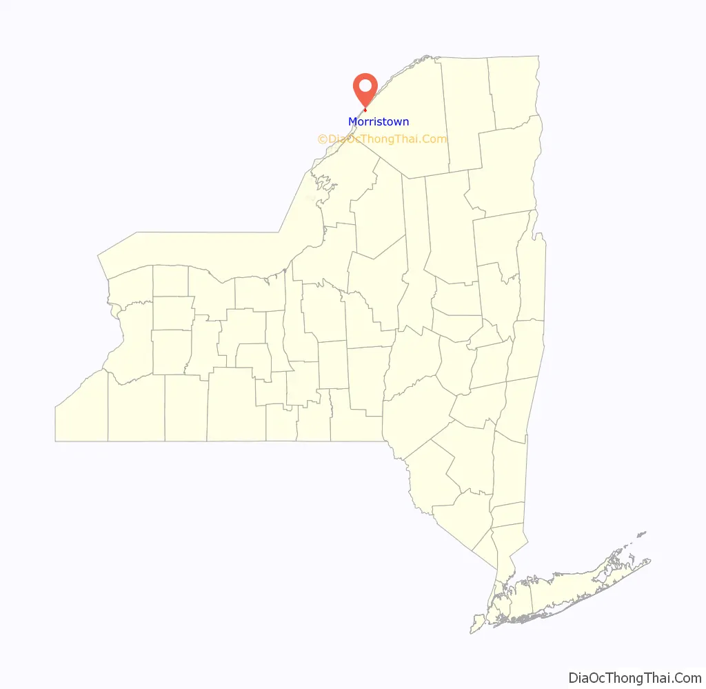
Morristown location map. Where is Morristown village?
History
The first settlers of the town began the community around 1804, but the village was not permanently settled until 1808.
During the opening days of the War of 1812, a naval battle took place between two warships in the river opposite the village.
Due to the lack of water power, early milling was accomplished by a windmill (1825) and later by a steam-powered mill.
The Land Office, Jacob Ford House, McConnell’s Windmill, Samuel Stocking House, Paschal Miller House, Morristown Schoolhouse, United Methodist Church, and Wright’s Stone Store are listed on the National Register of Historic Places.
On June 27, 2018, village residents voted to dissolve the village with a yes vote of 130–47. It took effect on December 31, 2019.
Morristown Road Map
Morristown city Satellite Map
Geography
According to the United States Census Bureau, the village had a total area of 1.0 square mile (2.6 km), of which 1.0 square miles (2.5 km) is land and 0.1 square mile (0.1 km) (4.90%) is water.
The village was north of the junction of New York State Route 12, New York State Route 37, and New York State Route 58.
The village was on the south bank of the Saint Lawrence River, opposite the City of Brockville in Canada.
See also
Map of New York State and its subdivision:- Albany
- Allegany
- Bronx
- Broome
- Cattaraugus
- Cayuga
- Chautauqua
- Chemung
- Chenango
- Clinton
- Columbia
- Cortland
- Delaware
- Dutchess
- Erie
- Essex
- Franklin
- Fulton
- Genesee
- Greene
- Hamilton
- Herkimer
- Jefferson
- Kings
- Lake Ontario
- Lewis
- Livingston
- Madison
- Monroe
- Montgomery
- Nassau
- New York
- Niagara
- Oneida
- Onondaga
- Ontario
- Orange
- Orleans
- Oswego
- Otsego
- Putnam
- Queens
- Rensselaer
- Richmond
- Rockland
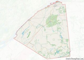
- Saint Lawrence
- Saratoga
- Schenectady
- Schoharie
- Schuyler
- Seneca
- Steuben
- Suffolk
- Sullivan
- Tioga
- Tompkins
- Ulster
- Warren
- Washington
- Wayne
- Westchester
- Wyoming
- Yates
- Alabama
- Alaska
- Arizona
- Arkansas
- California
- Colorado
- Connecticut
- Delaware
- District of Columbia
- Florida
- Georgia
- Hawaii
- Idaho
- Illinois
- Indiana
- Iowa
- Kansas
- Kentucky
- Louisiana
- Maine
- Maryland
- Massachusetts
- Michigan
- Minnesota
- Mississippi
- Missouri
- Montana
- Nebraska
- Nevada
- New Hampshire
- New Jersey
- New Mexico
- New York
- North Carolina
- North Dakota
- Ohio
- Oklahoma
- Oregon
- Pennsylvania
- Rhode Island
- South Carolina
- South Dakota
- Tennessee
- Texas
- Utah
- Vermont
- Virginia
- Washington
- West Virginia
- Wisconsin
- Wyoming