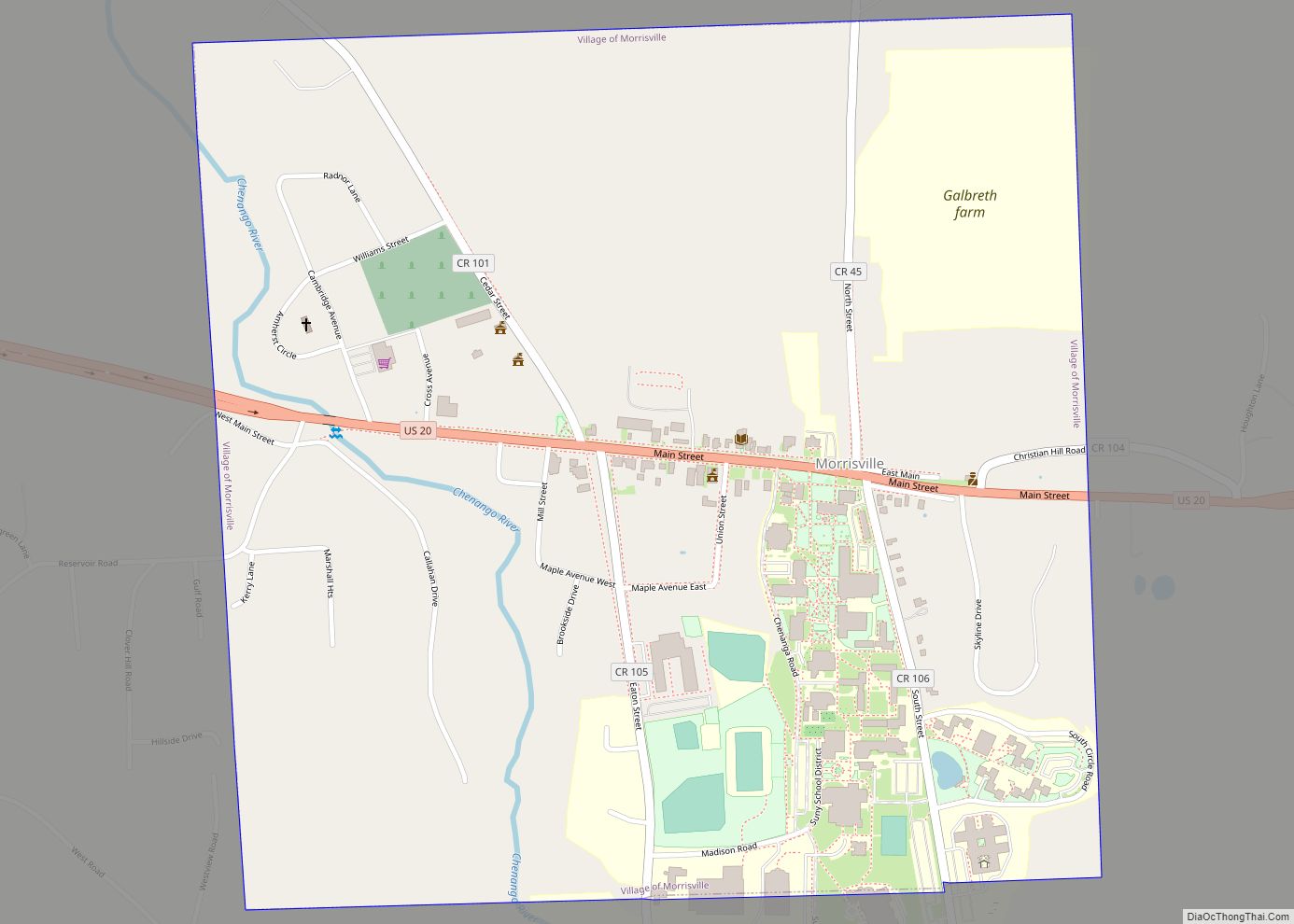
Morrisville is a village in Madison County, New York, United States. The population was 2,199 at the 2010 census. The village is named after its founder, Thomas Morris.
The Village of Morrisville in the northwest part of the Town of Eaton on US Route 20. Its zip code is 13408. Morrisville State College is located in the village.
| Name: | Morrisville village |
|---|---|
| LSAD Code: | 47 |
| LSAD Description: | village (suffix) |
| State: | New York |
| County: | Madison County |
| Elevation: | 1,348 ft (411 m) |
| Total Area: | 1.02 sq mi (2.65 km²) |
| Land Area: | 1.02 sq mi (2.65 km²) |
| Water Area: | 0.00 sq mi (0.00 km²) |
| Total Population: | 1,633 |
| Population Density: | 1,594.73/sq mi (615.61/km²) |
| ZIP code: | 13408 |
| Area code: | 315 |
| FIPS code: | 3648593 |
| GNISfeature ID: | 0957706 |
| Website: | https://www.morrisvilleny.com/ |
Online Interactive Map
Click on ![]() to view map in "full screen" mode.
to view map in "full screen" mode.
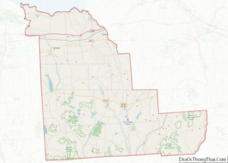
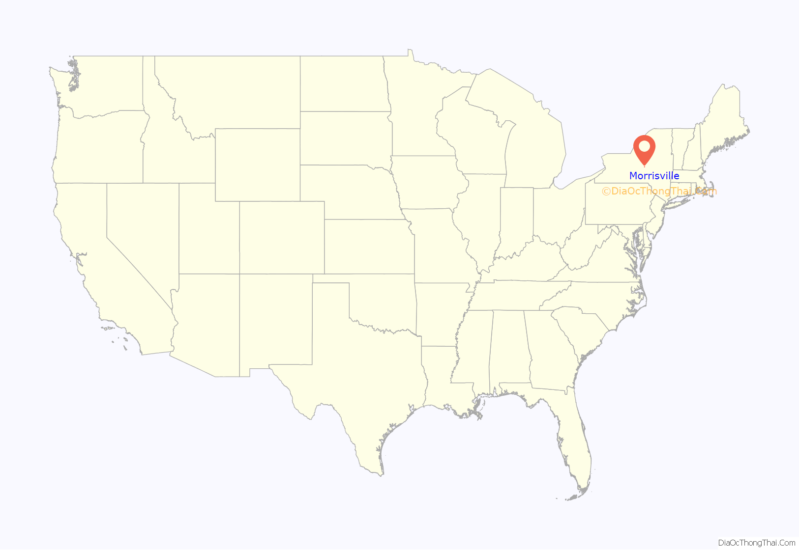
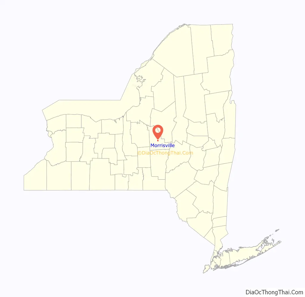
Morrisville location map. Where is Morrisville village?
History
The community was named for Thomas Morris and was originally called “Morris Flats.” It was made the county seat in 1817 when it was moved from Cazenovia. In 1907 the county seat was moved again this time to Wampsville.
In 1908, the New York State School of Agriculture was established and occupied the old county buildings that were left empty
The First National Bank of Morrisville, Morrisville Public Library, and Old Madison County Courthouse are listed on the National Register of Historic Places.
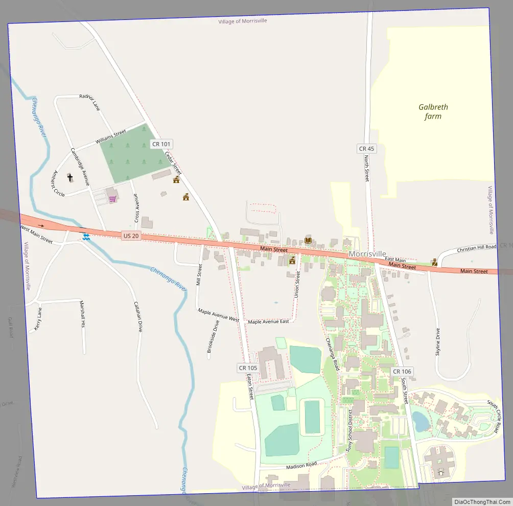
Morrisville Road Map
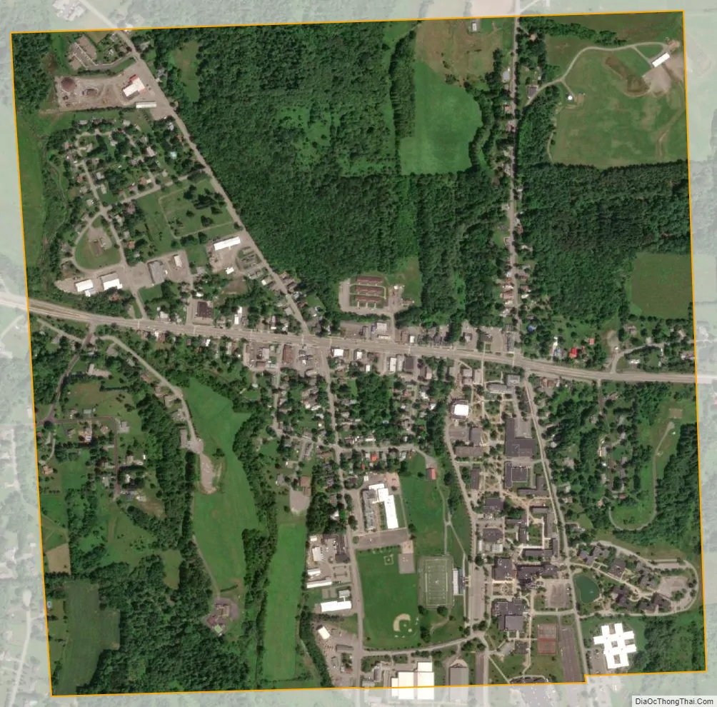
Morrisville city Satellite Map
Geography
Morrisville is located at 42°53′55″N 75°38′52″W / 42.89861°N 75.64778°W / 42.89861; -75.64778 (42.898541, -75.647717).
According to the United States Census Bureau, the village has a total area of 1.1 square miles (2.8 km), all land.
See also
Map of New York State and its subdivision:- Albany
- Allegany
- Bronx
- Broome
- Cattaraugus
- Cayuga
- Chautauqua
- Chemung
- Chenango
- Clinton
- Columbia
- Cortland
- Delaware
- Dutchess
- Erie
- Essex
- Franklin
- Fulton
- Genesee
- Greene
- Hamilton
- Herkimer
- Jefferson
- Kings
- Lake Ontario
- Lewis
- Livingston
- Madison
- Monroe
- Montgomery
- Nassau
- New York
- Niagara
- Oneida
- Onondaga
- Ontario
- Orange
- Orleans
- Oswego
- Otsego
- Putnam
- Queens
- Rensselaer
- Richmond
- Rockland
- Saint Lawrence
- Saratoga
- Schenectady
- Schoharie
- Schuyler
- Seneca
- Steuben
- Suffolk
- Sullivan
- Tioga
- Tompkins
- Ulster
- Warren
- Washington
- Wayne
- Westchester
- Wyoming
- Yates
- Alabama
- Alaska
- Arizona
- Arkansas
- California
- Colorado
- Connecticut
- Delaware
- District of Columbia
- Florida
- Georgia
- Hawaii
- Idaho
- Illinois
- Indiana
- Iowa
- Kansas
- Kentucky
- Louisiana
- Maine
- Maryland
- Massachusetts
- Michigan
- Minnesota
- Mississippi
- Missouri
- Montana
- Nebraska
- Nevada
- New Hampshire
- New Jersey
- New Mexico
- New York
- North Carolina
- North Dakota
- Ohio
- Oklahoma
- Oregon
- Pennsylvania
- Rhode Island
- South Carolina
- South Dakota
- Tennessee
- Texas
- Utah
- Vermont
- Virginia
- Washington
- West Virginia
- Wisconsin
- Wyoming