Wampsville is a village located inside the Town of Lenox in Madison County, New York, United States. The population was 543 as of the 2010 census. It is the county seat of Madison County.
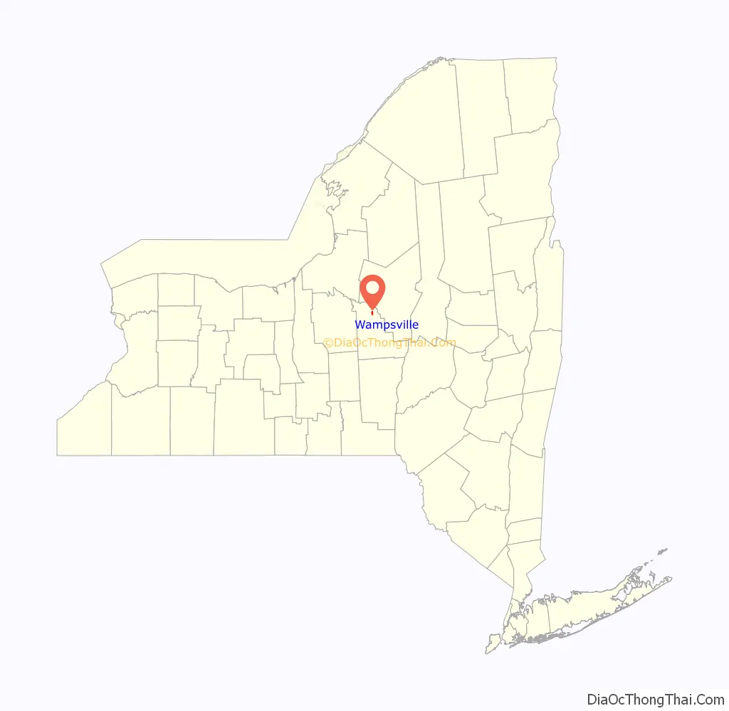
The Village of Wampsville is in the northern part of the county and near the eastern town line of Lenox.
| Name: | Wampsville village |
|---|---|
| LSAD Code: | 47 |
| LSAD Description: | village (suffix) |
| State: | New York |
| County: | Madison County |
| Elevation: | 482 ft (147 m) |
| Total Area: | 1.03 sq mi (2.67 km²) |
| Land Area: | 1.02 sq mi (2.65 km²) |
| Water Area: | 0.01 sq mi (0.02 km²) |
| Total Population: | 573 |
| Population Density: | 559.57/sq mi (216.00/km²) |
| ZIP code: | 13163 |
| Area code: | 315 |
| FIPS code: | 3678113 |
| GNISfeature ID: | 0968750 |
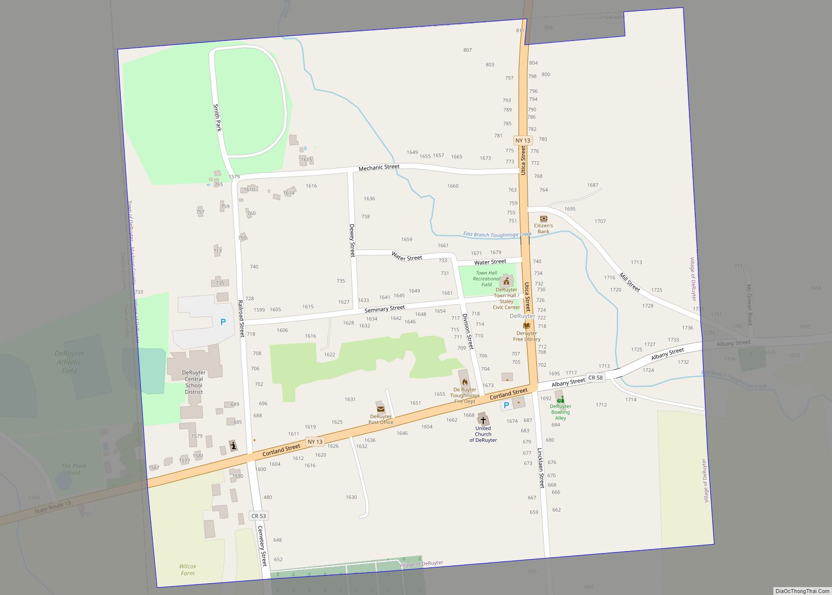
Online Interactive Map
Click on ![]() to view map in "full screen" mode.
to view map in "full screen" mode.
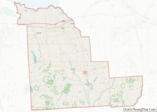
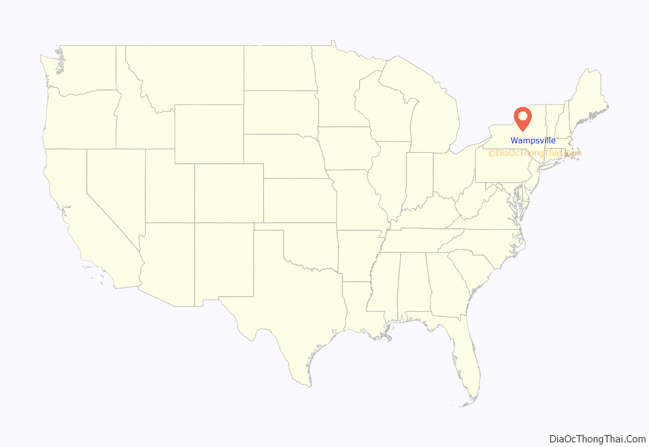
Wampsville location map. Where is Wampsville village?
History
The village was founded by Johann Myndert Wemple (1766–1837) and was formerly called Wempsville.
Wampsville was chosen as the seat of Madison County because neighboring Oneida, to the east, and Canastota to the west both wanted the distinction and could not reach a resolution. The county courthouse faces north so that it does not face either locality.
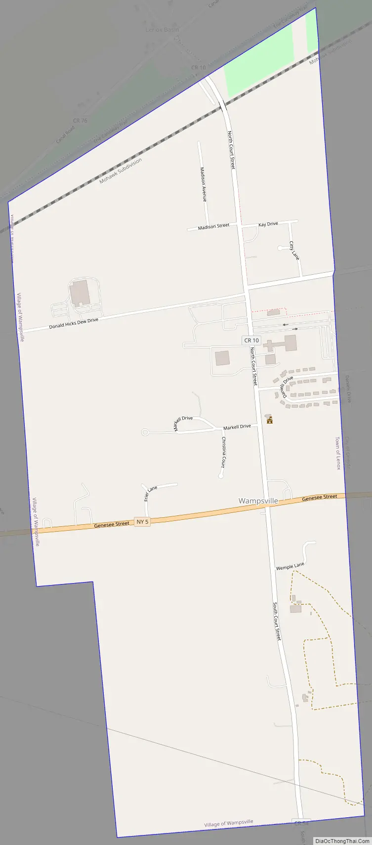
Wampsville Road Map
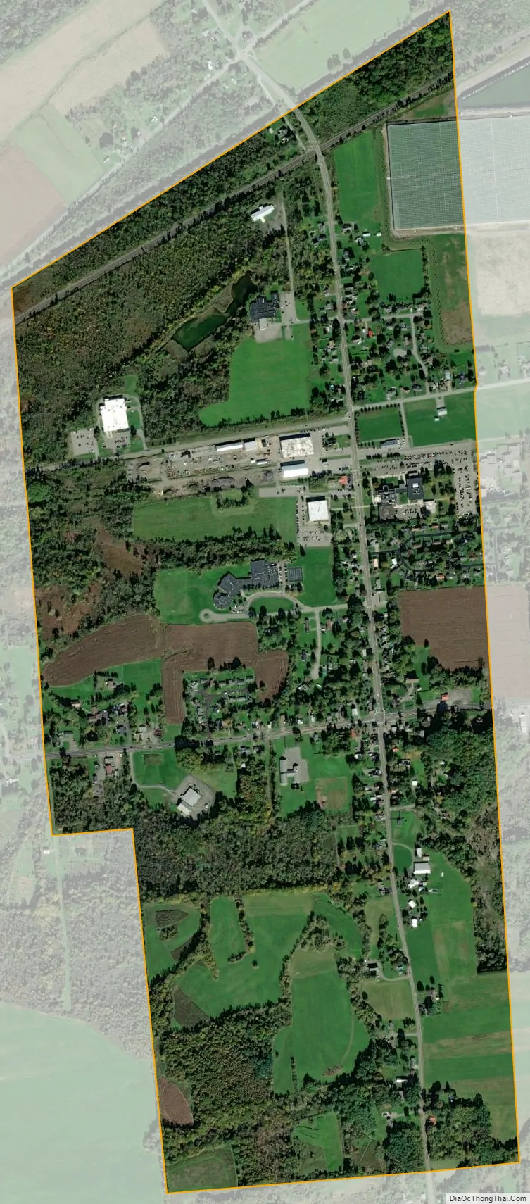
Wampsville city Satellite Map
Geography
Wampsville is located at 43°4′53″N 75°42′29″W / 43.08139°N 75.70806°W / 43.08139; -75.70806 (43.081507, −75.708041).
According to the United States Census Bureau, the village has a total area of 1.0 square mile (2.6 km), all land.
See also
Map of New York State and its subdivision:- Albany
- Allegany
- Bronx
- Broome
- Cattaraugus
- Cayuga
- Chautauqua
- Chemung
- Chenango
- Clinton
- Columbia
- Cortland
- Delaware
- Dutchess
- Erie
- Essex
- Franklin
- Fulton
- Genesee
- Greene
- Hamilton
- Herkimer
- Jefferson
- Kings
- Lake Ontario
- Lewis
- Livingston
- Madison
- Monroe
- Montgomery
- Nassau
- New York
- Niagara
- Oneida
- Onondaga
- Ontario
- Orange
- Orleans
- Oswego
- Otsego
- Putnam
- Queens
- Rensselaer
- Richmond
- Rockland
- Saint Lawrence
- Saratoga
- Schenectady
- Schoharie
- Schuyler
- Seneca
- Steuben
- Suffolk
- Sullivan
- Tioga
- Tompkins
- Ulster
- Warren
- Washington
- Wayne
- Westchester
- Wyoming
- Yates
- Alabama
- Alaska
- Arizona
- Arkansas
- California
- Colorado
- Connecticut
- Delaware
- District of Columbia
- Florida
- Georgia
- Hawaii
- Idaho
- Illinois
- Indiana
- Iowa
- Kansas
- Kentucky
- Louisiana
- Maine
- Maryland
- Massachusetts
- Michigan
- Minnesota
- Mississippi
- Missouri
- Montana
- Nebraska
- Nevada
- New Hampshire
- New Jersey
- New Mexico
- New York
- North Carolina
- North Dakota
- Ohio
- Oklahoma
- Oregon
- Pennsylvania
- Rhode Island
- South Carolina
- South Dakota
- Tennessee
- Texas
- Utah
- Vermont
- Virginia
- Washington
- West Virginia
- Wisconsin
- Wyoming