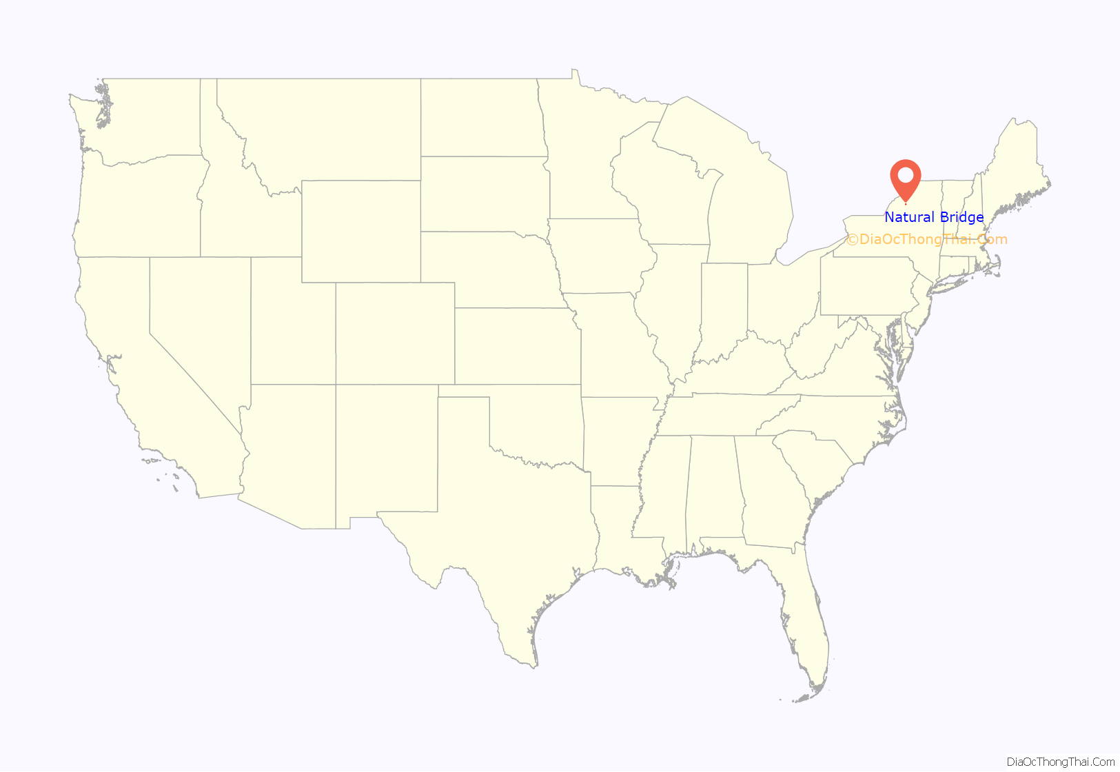
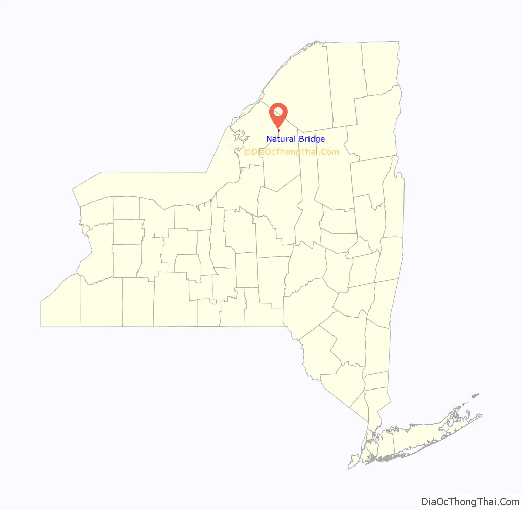
Natural Bridge is a hamlet and census-designated place (CDP) in Jefferson County, New York, United States. As of the 2010 census it had a population of 365.
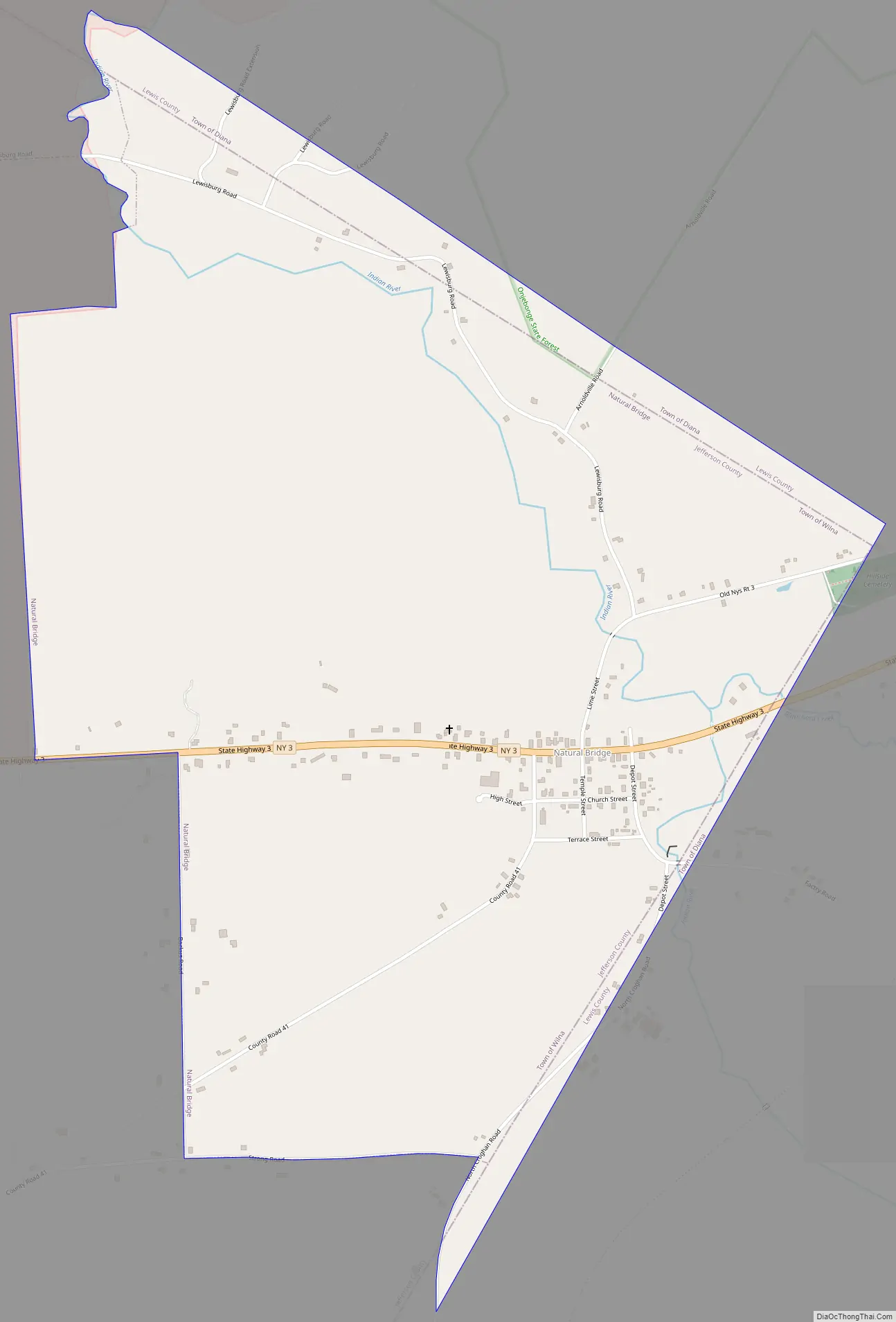
It is located in the northeastern corner of the town of Wilna and is east of Watertown. The name “Natural Bridge” was derived from a natural rock formation along the Indian River. Natural Bridge Station is a location along a railroad line southeast of the community in Lewis County.
| Name: | Natural Bridge CDP |
|---|---|
| LSAD Code: | 57 |
| LSAD Description: | CDP (suffix) |
| State: | New York |
| County: | Jefferson County |
| Elevation: | 817 ft (249 m) |
| Total Area: | 1.28 sq mi (3.31 km²) |
| Land Area: | 1.28 sq mi (3.31 km²) |
| Water Area: | 0.00 sq mi (0.00 km²) |
| Total Population: | 296 |
| Population Density: | 231.79/sq mi (89.48/km²) |
| ZIP code: | 13665 |
| Area code: | 315 |
| FIPS code: | 3649605 |
| GNISfeature ID: | 0958296 |
Online Interactive Map
Click on ![]() to view map in "full screen" mode.
to view map in "full screen" mode.
Natural Bridge location map. Where is Natural Bridge CDP?
History
In 1812, a hunter, Aleaser Carr, crossed the Indian River on what he assumed to be a log while hunting. Much to his amazement while hunting a short time later, he again came to the river on the same side as before he crossed. After an examination by himself and a party of hunters, it appeared that he had unknowingly recrossed the river on what turned out to be a limestone arch. Consequently, this is how Natural Bridge received its name.
Settlement began in the area in 1818. The former king of Spain, Joseph Bonaparte, known in America as the Count de Survilliers, owned land consisting of a one-mile square. After coming to look at his land in 1828, he was impressed by the limestone arch and with being so close to his lake, “Lake Bonaparte” (8 miles (13 km) to the northeast), he decided to build a second summer residence in Natural Bridge in 1829. He resided here with his “Madame” until 1835. The house was destroyed in September 1905 in a fire that also consumed two hotels and their barns, the country store, and another dwelling house.
An old story which still proves to be a mystery today is of the Joseph Bonaparte residence. The cellar of the residence was supposedly connected by secret passage to the caverns so that if he ever needed to escape, he had this passage.
Natural Bridge Road Map
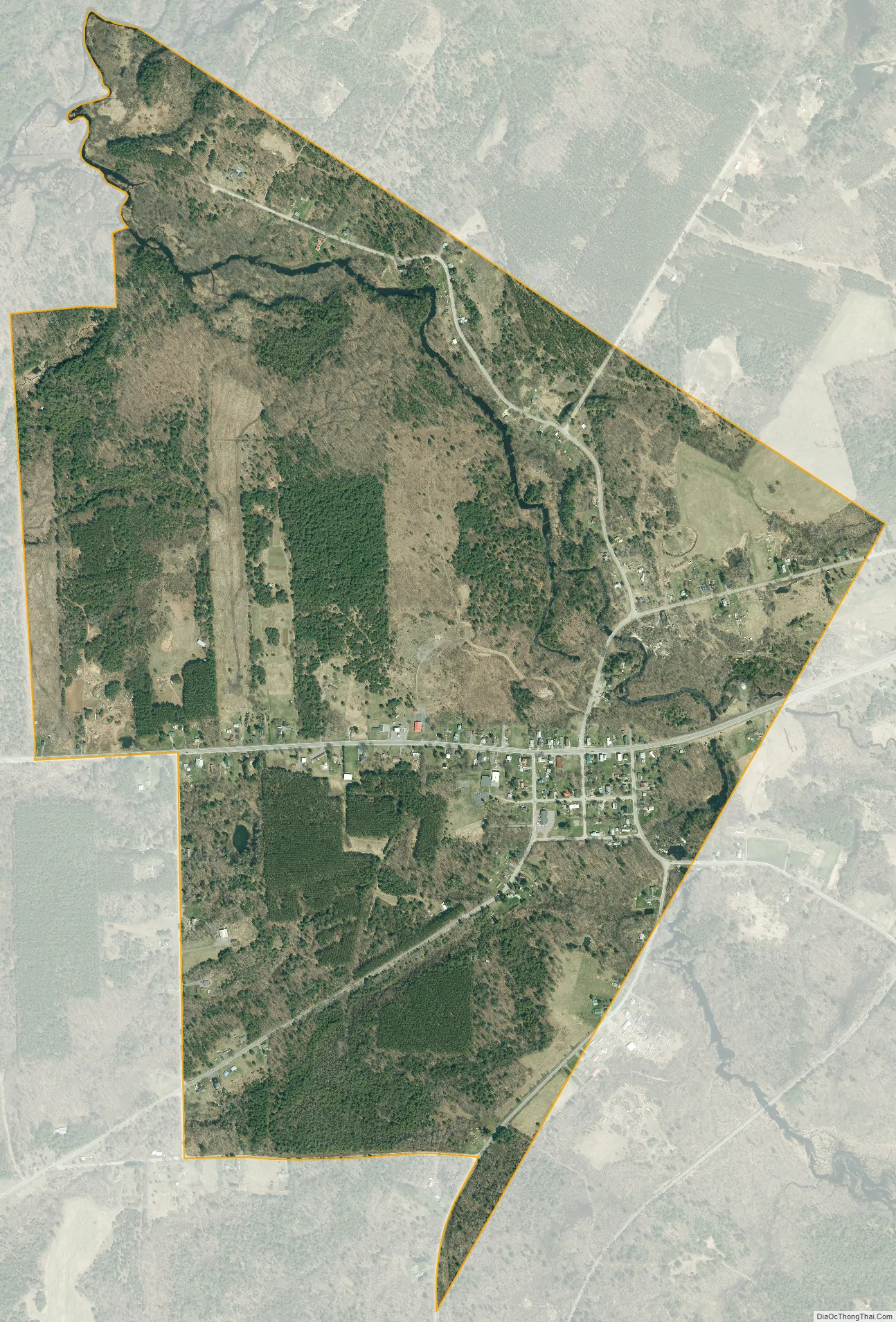
Natural Bridge city Satellite Map
Geography
Natural Bridge is located along the eastern edge of Jefferson County at 44°4′7″N 75°29′41″W / 44.06861°N 75.49472°W / 44.06861; -75.49472 (44.068527, -75.494749), in the eastern part of the town of Wilna. It is bordered to the east by the town of Diana in Lewis County.
According to the United States Census Bureau, the CDP has a total area of 1.4 square miles (3.6 km), all land. The Indian River flows northward through the community to the east of the downtown area.
Natural Bridge is located on New York State Route 3 southeast of Fort Drum, at the western edge of the Adirondacks. Watertown, the Jefferson county seat, is 23 miles (37 km) to the southwest via Routes 3 and 3A, while Harrisville is 11 miles (18 km) to the northeast.
See also
Map of New York State and its subdivision:- Albany
- Allegany
- Bronx
- Broome
- Cattaraugus
- Cayuga
- Chautauqua
- Chemung
- Chenango
- Clinton
- Columbia
- Cortland
- Delaware
- Dutchess
- Erie
- Essex
- Franklin
- Fulton
- Genesee
- Greene
- Hamilton
- Herkimer
- Jefferson
- Kings
- Lake Ontario
- Lewis
- Livingston
- Madison
- Monroe
- Montgomery
- Nassau
- New York
- Niagara
- Oneida
- Onondaga
- Ontario
- Orange
- Orleans
- Oswego
- Otsego
- Putnam
- Queens
- Rensselaer
- Richmond
- Rockland
- Saint Lawrence
- Saratoga
- Schenectady
- Schoharie
- Schuyler
- Seneca
- Steuben
- Suffolk
- Sullivan
- Tioga
- Tompkins
- Ulster
- Warren
- Washington
- Wayne
- Westchester
- Wyoming
- Yates
- Alabama
- Alaska
- Arizona
- Arkansas
- California
- Colorado
- Connecticut
- Delaware
- District of Columbia
- Florida
- Georgia
- Hawaii
- Idaho
- Illinois
- Indiana
- Iowa
- Kansas
- Kentucky
- Louisiana
- Maine
- Maryland
- Massachusetts
- Michigan
- Minnesota
- Mississippi
- Missouri
- Montana
- Nebraska
- Nevada
- New Hampshire
- New Jersey
- New Mexico
- New York
- North Carolina
- North Dakota
- Ohio
- Oklahoma
- Oregon
- Pennsylvania
- Rhode Island
- South Carolina
- South Dakota
- Tennessee
- Texas
- Utah
- Vermont
- Virginia
- Washington
- West Virginia
- Wisconsin
- Wyoming


